Catskill Creek
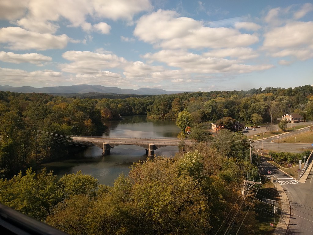
Catskill Creek
- Boat Ramps
- 1
- Access Points
- 11
- Campsites
- 5
Catskill Creek is a waterway in eastern New York, originating in the Franklinton Vlaie wetlands of Schoharie County and flowing approximately 46 miles southeast to its confluence with the Hudson River at Catskill Point. This tributary of the Hudson drains a watershed of 927 square miles, making it the third largest contributor to the Hudson River Estuary. The creek offers a range of paddling experiences, from placid flatwater sections to challenging whitewater runs. The lower 1.5 miles are tidal, influenced by the Hudson River, providing excellent opportunities for novice paddlers and wildlife viewing. This section from near the school in Catskill to Dutchman's Landing Park is popular for its easy access and scenic beauty.
For more experienced paddlers, the Austin Glen section near Leeds offers a thrilling 3-mile stretch of Class III-IV whitewater. This technical run features boulder gardens and a significant drop at the put-in that requires scouting. Upstream, the 17-mile section from Cooksburg to Woodstock Dam provides a classic Class II-III experience through the heart of Greene County. The creek's flow is highly seasonal, with spring snowmelt and rain providing the most reliable water levels for whitewater sections. Summer often sees lower water levels, especially in August, though the tidal section remains navigable year-round.
Catskill Creek's ecosystem supports a diverse array of wildlife, including herring that spawn in its lower reaches. The surrounding landscape features a mix of deciduous forests, providing beautiful foliage in autumn. The RamsHorn-Livingston Sanctuary, accessible via RamsHorn Creek, offers paddlers a unique opportunity to explore a pristine swamp ecosystem.
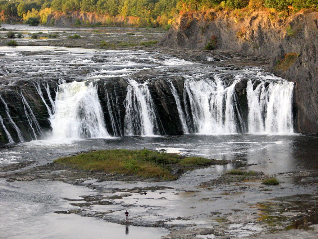
Historically, the creek played a crucial role in the region's development, powering mills and facilitating trade. Today, it continues to be an important recreational resource and inspiration for artists, as evidenced by Thomas Cole's famous paintings of the creek. Access points are numerous, with popular put-ins in Catskill, Leeds, and near the Woodstock Dam.
Paddlers should be aware of potential hazards like strainers and changing water levels, especially in the whitewater sections. All boaters should wear appropriate safety gear and check water levels before embarking. For those seeking a multi-day adventure, it's possible to combine various sections of Catskill Creek with exploration of the Hudson River, creating a diverse paddling experience that showcases the natural beauty and rich history of New York's Catskill region.
Water access, boat ramps & amenities
Learn how to get on Catskill Creek. Uncover great paddling access points, boat ramps, and all the facilities you need for an unforgettable day on the water. Some locations shown may border or include private property. Always check property boundaries and applicable regulations before visiting. PaddleWays's Public & Private Land layer can help you plan your access with confidence.
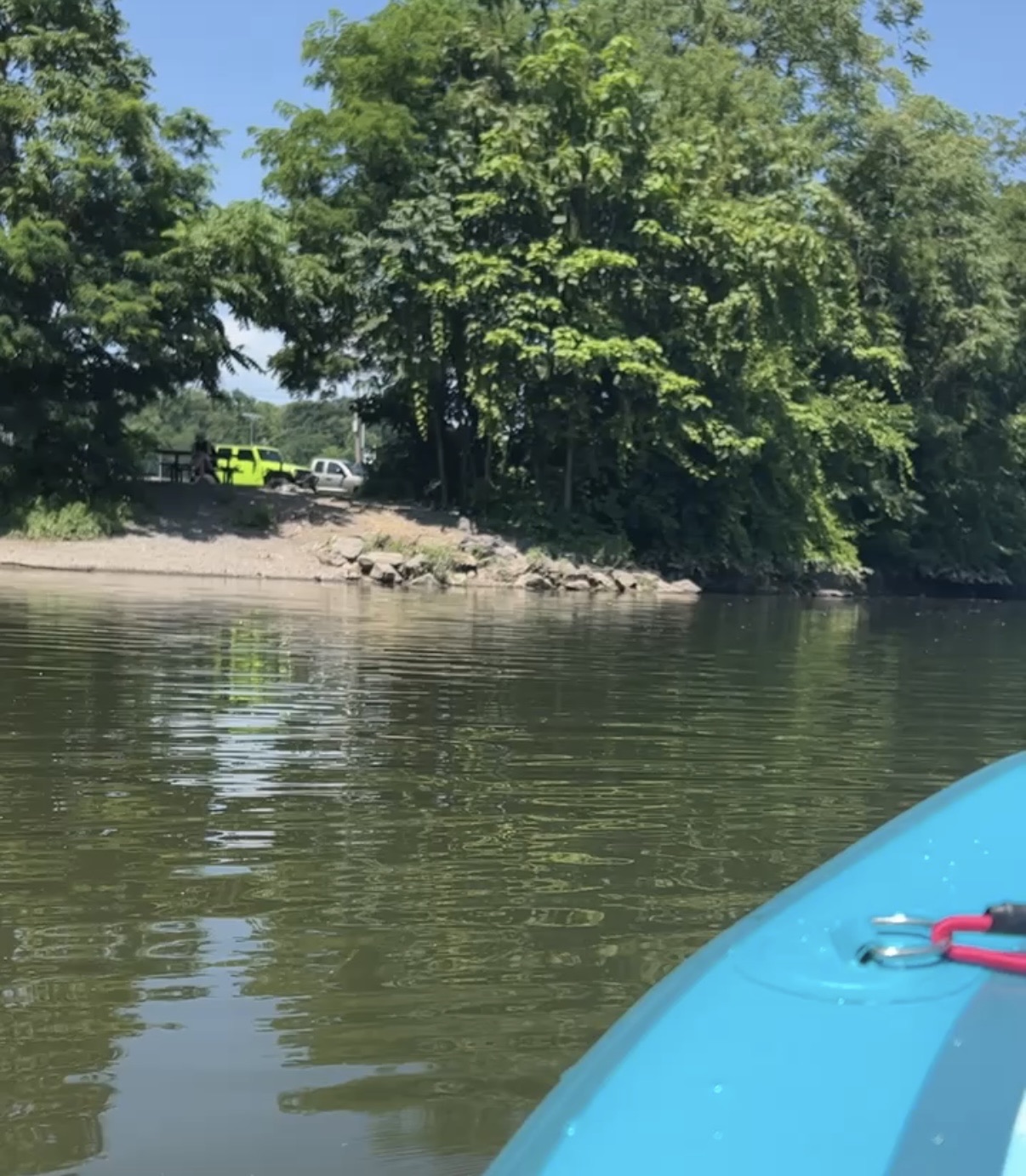
Catskill Creek Access
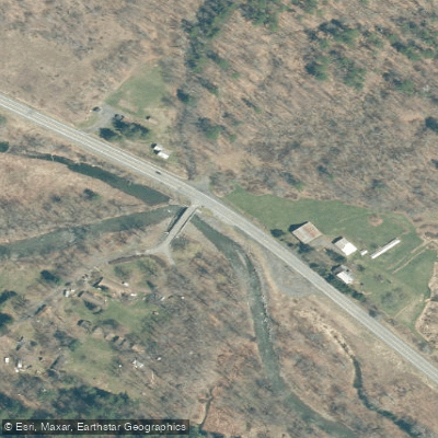
Catskill Creek Access
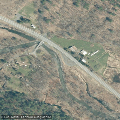
CC Camp Road Fishing Access Site
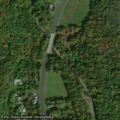
Cooksburg Fishing Access Site
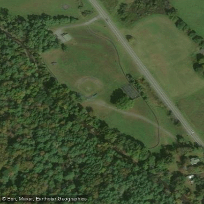
Catskill Creek Access
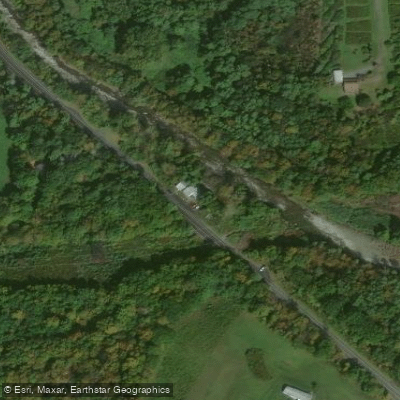
State Hwy 145 Fishing Access Site
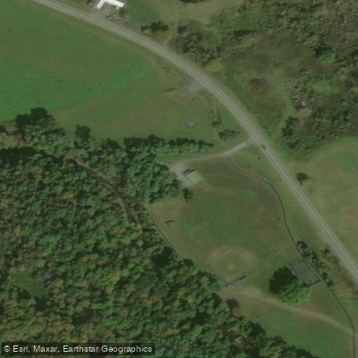
Bayard Elsbree Memorial Park Fishing Access Site
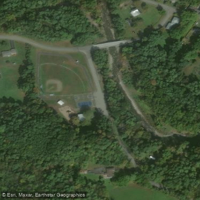
Catskill Creek Access
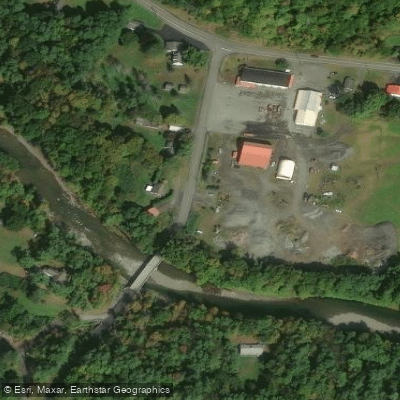
Catskill Creek Access
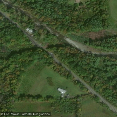
Catskill Creek Access
Paddle smarter with real-time insights
Whether you're en route and conditions shift or you're looking for the best spot based on current flows, we enable you to make informed decisions on the fly.








Find Places to Paddle

Over 400,000 Places to Paddle
Every user gets free access to launch points, boat ramps, and public property parcels.


Water and weather conditions (10 day forecast)
See the best times to paddle Catskill Creek and check the forecast before you go.
No forecast data available.
Paddling near Catskill Creek

Hudson River
Mohawk River
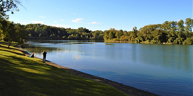
Schoharie Creek

Housatonic River
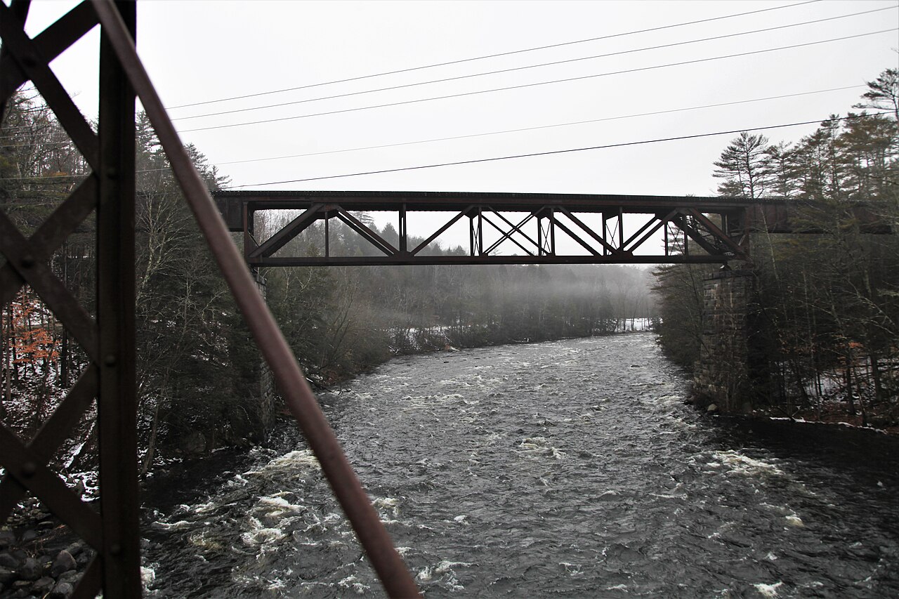
Sacandaga River
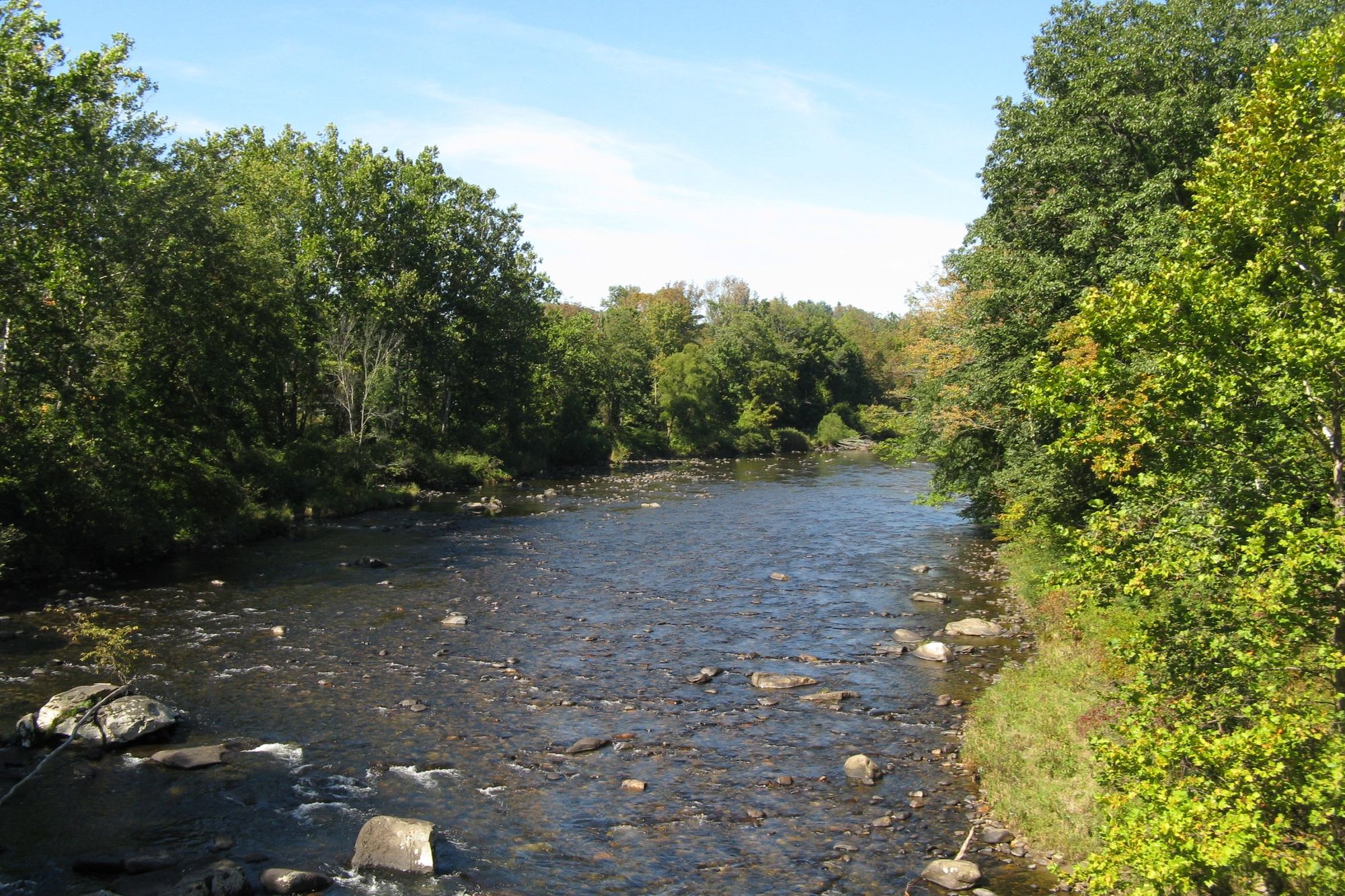
Westfield River
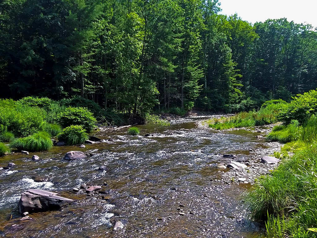
Esopus Creek
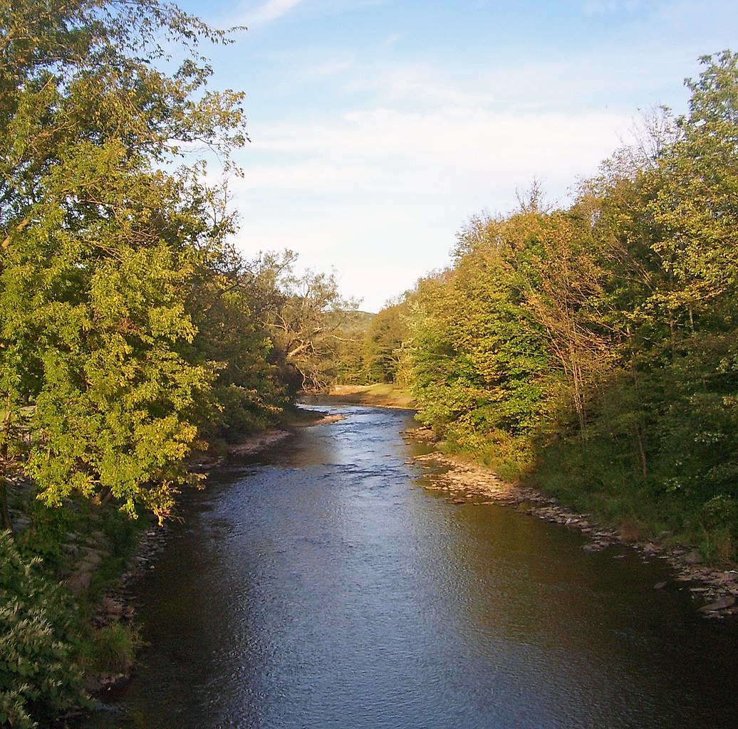
East Branch Delaware River
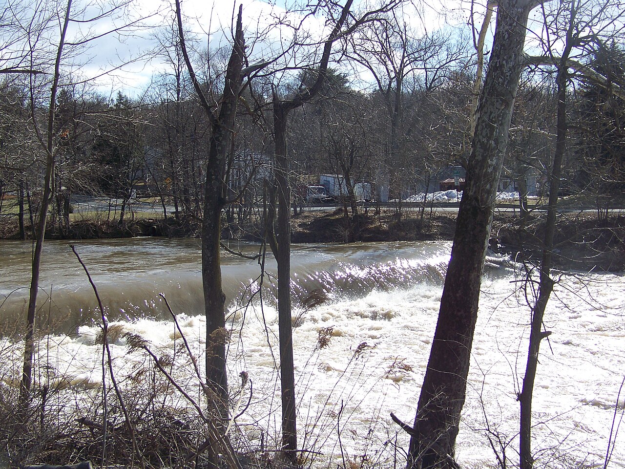
Wappinger Creek
Explore New York waters
Top paddling waters
Popular Cities
Loading popular cities...
Explore near Catskill Creek
Access points
- Franklinton Vlaie Pond Boat Ramp
- Catskill Creek Access
- Catskill Creek Access
- CC Camp Road Fishing Access Site
- Cooksburg Fishing Access Site
- Catskill Creek Access
- State Hwy 145 Fishing Access Site
- Bayard Elsbree Memorial Park Fishing Access Site
- Catskill Creek Access
- Catskill Creek Access
- Catskill Creek Access
- Catskill Creek Bridge
- All 102 spots
Nearby waters
More in New York

Smarter Paddling Starts in the App.
Paddleways gives you everything you need to plan smarter, paddle better, and own every trip from first launch to takeout.