Curated by PaddleWays
RouteFlatwater
- Distance
- 0.3 mi
- Paddle time
- ~0.5 hrs
- Best for
- Kayak, canoe
- Put-in → take-out
- Syracuse Chargers Boathouse → Onion Lake Outlet Access
Powerboats, jet skis and rowing shells
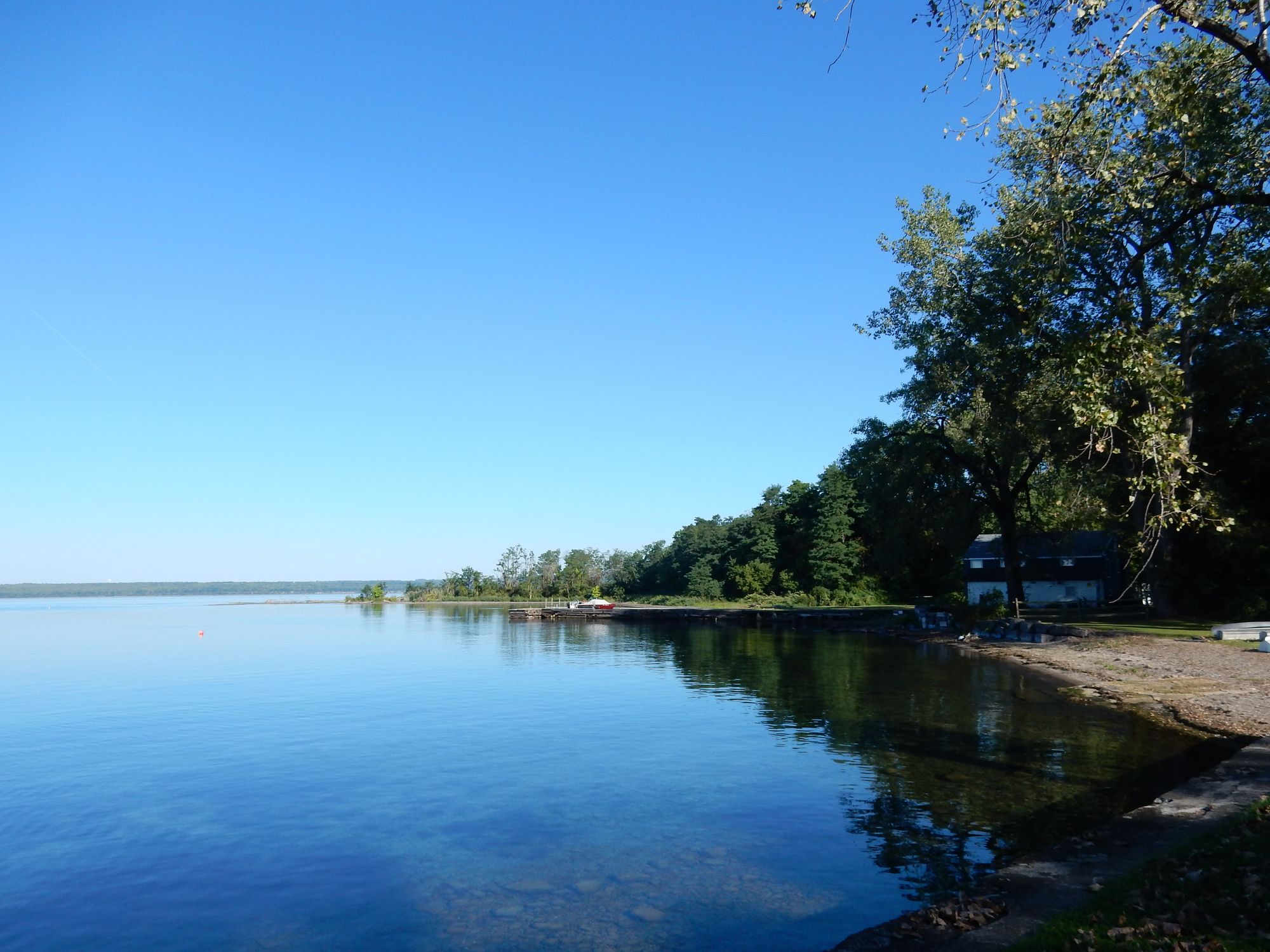
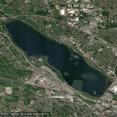
The Onondaga Lake Outlet is a narrow waterway in the Syracuse area of Central New York that serves as the connection between Onondaga Lake and the Seneca River, which ultimately flows into the Erie Canal system. This outlet carries water northwest from Onondaga Lake, functioning as part of the larger watershed that eventually reaches Lake Ontario via the Oswego River.
The outlet provides flatwater paddling opportunities within the extensive Onondaga Lake Park system, a 7.5-mile linear greenway that encompasses both shores of the northern end of Onondaga Lake. Paddlers will find this a straightforward, calm-water experience suitable for beginners and those seeking a leisurely paddle close to Syracuse. The waterway remains narrow throughout its course, creating an intimate paddling environment distinct from the open waters of Onondaga Lake itself.
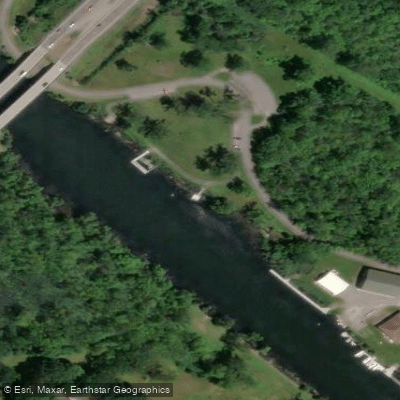
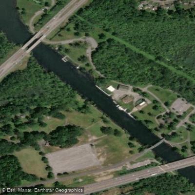
Access to the Onondaga Lake Outlet is well-developed with two primary launch sites. The northern launch is located just north of the Syracuse Chargers boathouse, accessible via Cold Springs Trail at Wegmans Good Dog Park on 59 Cold Springs Trail in Syracuse. This ADA-compliant site features a gently sloping gravel launch with convenient parking, operating seasonally from Memorial Day through October 1. The southern access point sits under the Long Branch Bridge at 395 Long Branch Road, Syracuse, where the West Shore Trail begins. This location also offers an improved gravel launch site with nearby parking facilities.
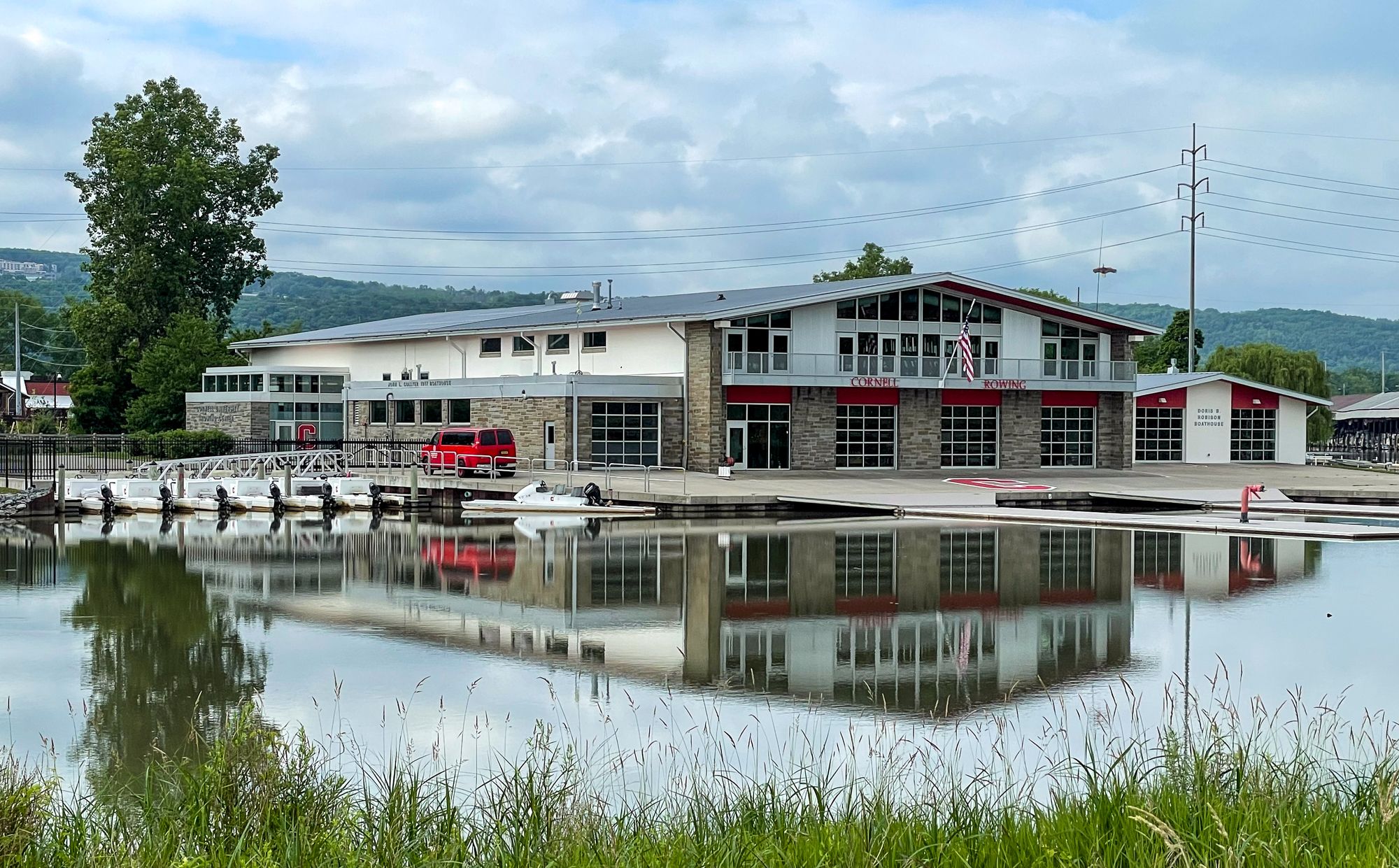
Paddlers should be aware of significant boat traffic on this narrow waterway. The outlet accommodates powerboats, jet skis, and rowing shells, requiring constant vigilance and awareness of other water users. The floating docks and boathouses belonging to Syracuse University and the Syracuse Chargers on the eastern side of the outlet are strictly off-limits to recreational paddlers.
The outlet's location within Onondaga County Parks provides paddlers with access to extensive trail systems, picnic facilities, and restrooms at various points along the shore. The Willow Bay section of the park offers additional amenities for those planning extended visits to the area.
Given the heavy recreational and competitive rowing activity, early morning or weekday paddling typically offers calmer conditions with reduced traffic. The seasonal launch availability aligns with optimal paddling conditions in Central New York, avoiding winter ice and early spring high water periods. Paddlers should exercise caution in this multi-use waterway and maintain awareness of faster-moving watercraft throughout their journey.
Curated routes
Hand-picked by the PaddleWays team, with put-ins, take-outs, paddle times and the hazards along the way.
RouteFlatwater
Hazards
No hazards are marked on Lake Outlet yet. That is not the same as none being there: if you find one, report it for the next paddler.
From the community
Nobody has shared a trip on Lake Outlet yet. Paddle it, then tell the next paddler how it went.
See exactly where the public can get on and off the river. Launch points and boat ramps are paired with PaddleWays' public land data so you know where you can legally land.
Public shoreline
24%of the river's shoreline is public
Most of the riverbank is private. Launch, land and camp only at public access points.
Flows, weather and a route-by-route verdict, so you know which stretch of the Lake Outlet is worth paddling today.
No forecast data available.
Live flows, marked hazards and fresh trip reports from paddlers who were just on the water, all in one place.





Every user gets free access to launch points, boat ramps, and public property parcels.
Loading popular cities...
PaddleWays gives you everything you need to plan smarter, paddle better, and own every trip from first launch to takeout.