Curated by PaddleWays
RouteClass II–III
- Distance
- 5.5 mi
- Paddle time
- ~1.5 hrs
- Put-in → take-out
- Little River Boat Ramp → Oswegatchie Access
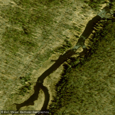
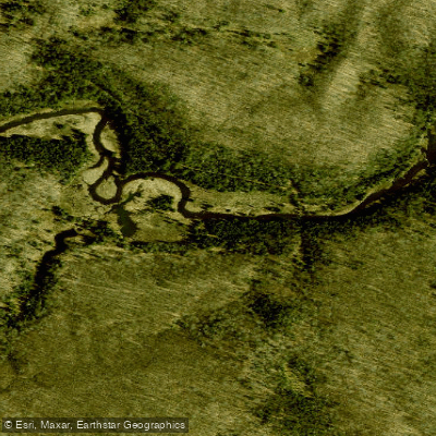
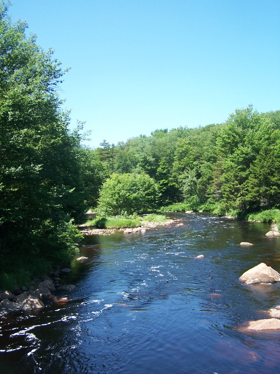
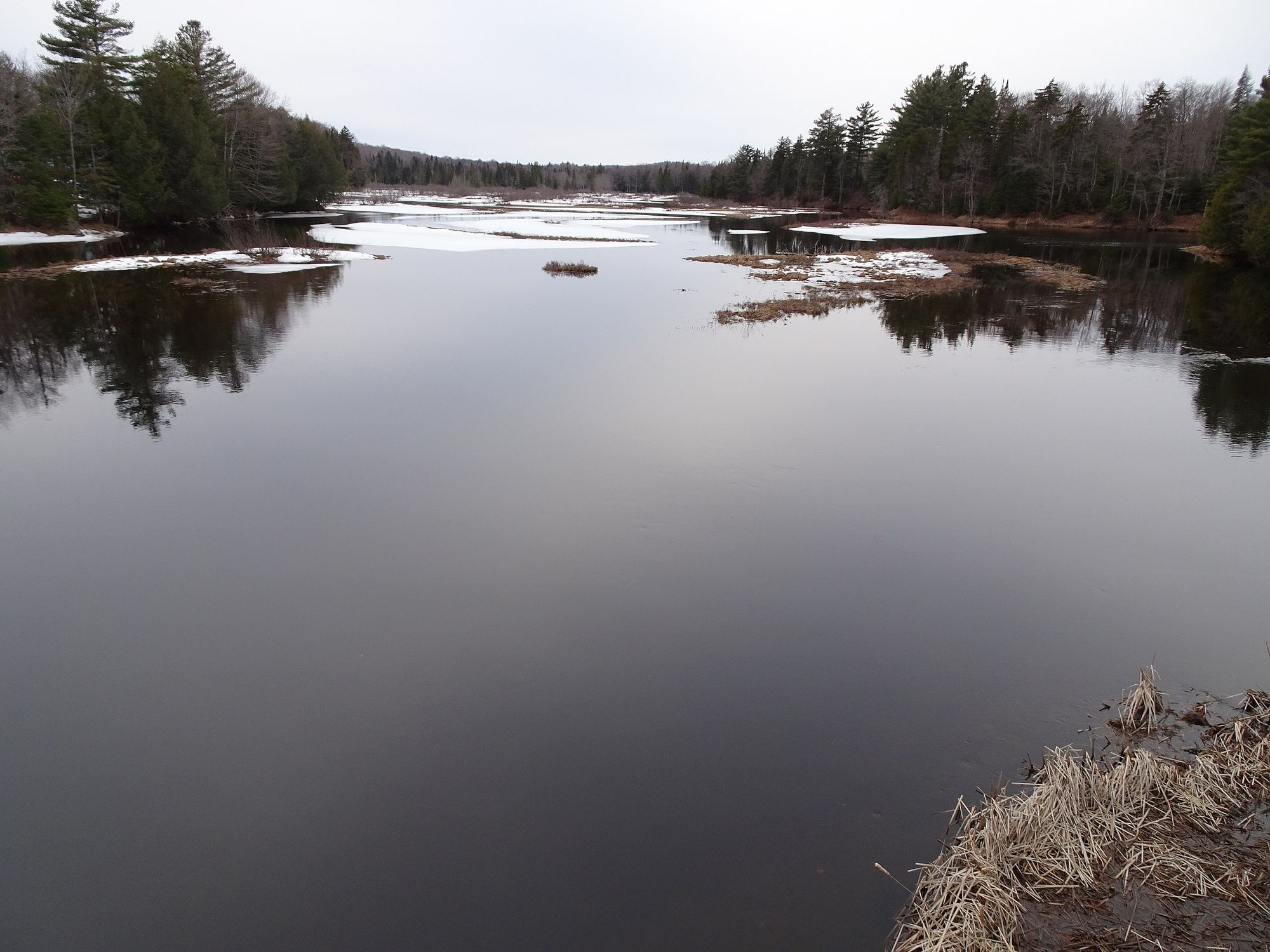
Little River flows through the northwestern Adirondack region of St. Lawrence County, New York, serving as a tributary to the Oswegatchie River. This coldwater stream originates in the towns of Fine and Clifton, winding through forested terrain before joining the larger Oswegatchie system. The river maintains a relatively remote character through much of its course, offering anglers and paddlers a quieter alternative to the county's more heavily trafficked waterways.
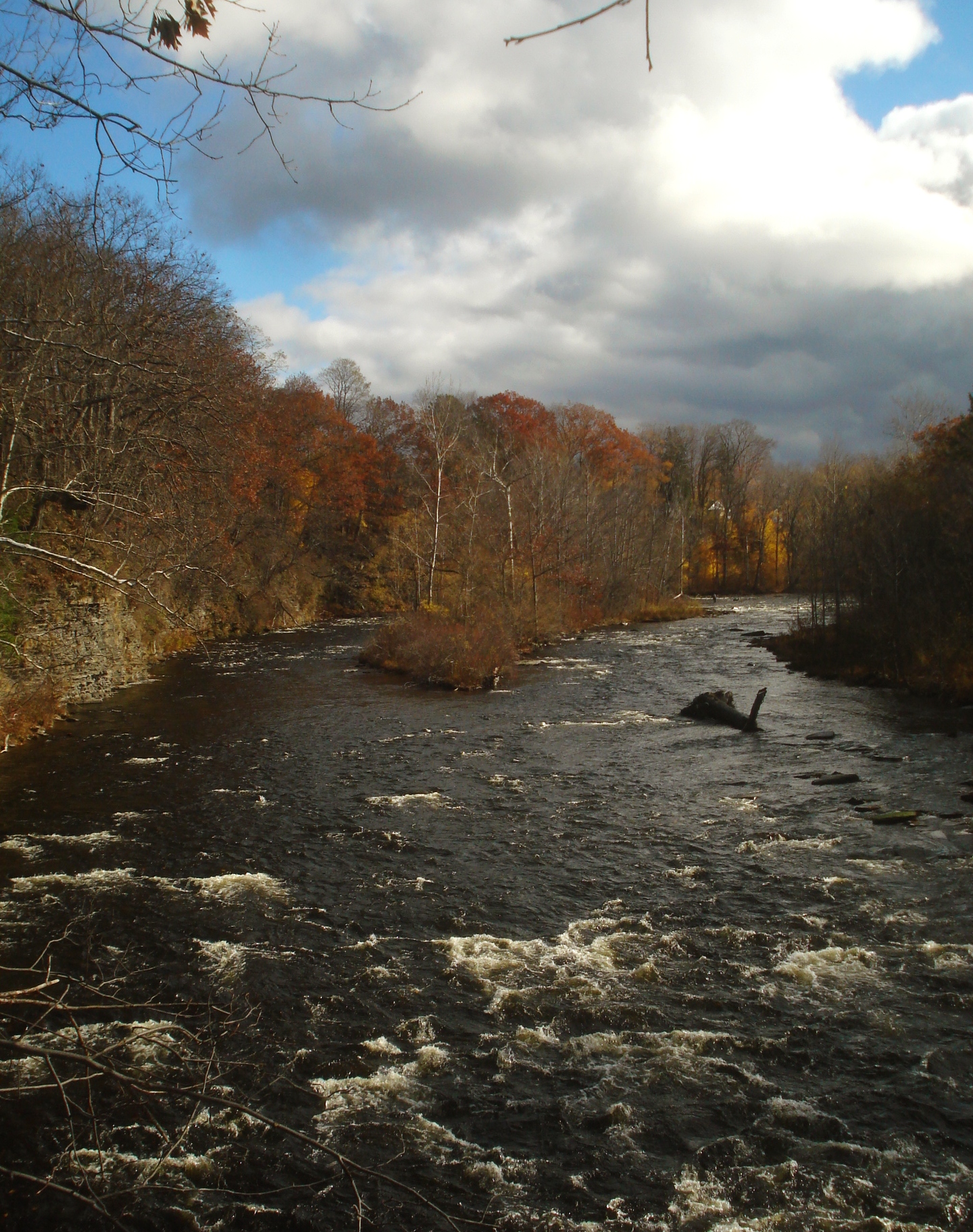
The river presents approximately 12 miles of paddleable water in its upper sections, characterized as Class I with occasional riffles and requiring two short portages. The lower six miles transition to more technical Class III rapids, demanding advanced boat handling skills and appropriate whitewater equipment. This gradient makes Little River suitable for intermediate to advanced paddlers, with the upper stretches accessible to those comfortable with moving water and basic river navigation.
Spring and early summer provide optimal paddling conditions when snowmelt and seasonal rains maintain sufficient water levels. By mid-summer, sections may become too shallow for comfortable passage, though the river typically remains fishable year-round under special regulations.
The New York State Department of Environmental Conservation has established specific angling rules for Little River, including a season running from April 1 through November 30, with a daily limit of five trout and a restriction allowing no more than two fish longer than 12 inches. The river supports populations of brook trout, brown trout, and smallmouth bass, making it a destination for fly fishers seeking native and stocked species in a backcountry setting.
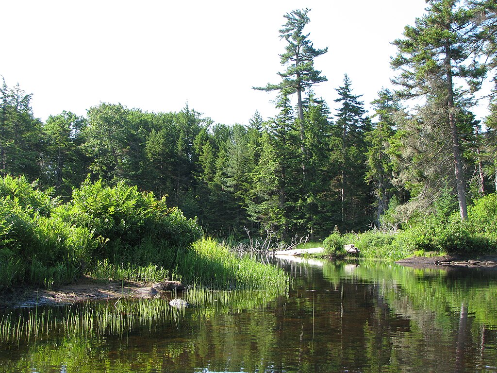
The surrounding forest consists primarily of mixed hardwoods and conifers typical of the transition zone between the Adirondack highlands and the St. Lawrence lowlands.
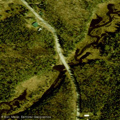
Access to Little River is available via the Little River Boat Launch on Park Street/County Route 27 in Canton, which serves as the primary public entry point. The community of Aldrich, a collection of seasonal camps along Streeter Road, provides additional informal access where the road crosses the river. Canton, the county seat, lies within several miles and offers services for provisioning trips.
Paddlers should note that the river flows through a mix of public forest preserve lands and private holdings. Public Fishing Rights easements exist along certain sections, marked by yellow signage, but anglers and boaters must respect private property boundaries where posted. The use or possession of baitfish is prohibited on Little River, a regulation designed to protect native trout populations from competition with introduced species.
Curated routes
Hand-picked by the PaddleWays team, with put-ins, take-outs, paddle times and the hazards along the way.
RouteClass II–III
Hazards
No paddler has reported a hazard here yet, so these are the dams, falls and big rapids on our map. Hazards change with flows and storms, so check them before you launch.
From the community
Nobody has shared a trip on Little River yet. Paddle it, then tell the next paddler how it went.
See exactly where the public can get on and off the river. Launch points and boat ramps are paired with PaddleWays' public land data so you know where you can legally land.
Public shoreline
38%of the river's shoreline is public
Most of the riverbank is private. Launch, land and camp only at public access points.
Flows, weather and a route-by-route verdict, so you know which stretch of the Little River is worth paddling today.
No forecast data available.
Live flows, marked hazards and fresh trip reports from paddlers who were just on the water, all in one place.





Every user gets free access to launch points, boat ramps, and public property parcels.

Loading popular cities...
PaddleWays gives you everything you need to plan smarter, paddle better, and own every trip from first launch to takeout.