Curated by PaddleWays
RouteFlatwater
- Distance
- 1.5 mi
- Paddle time
- ~0.5 hrs
- Best for
- Beginners
- Put-in → take-out
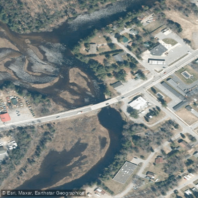
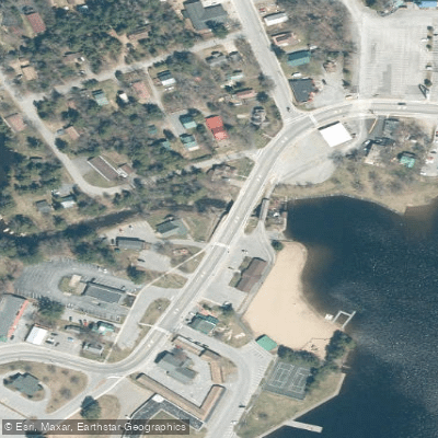
- Old Forge Dam Access → Old Forge Access
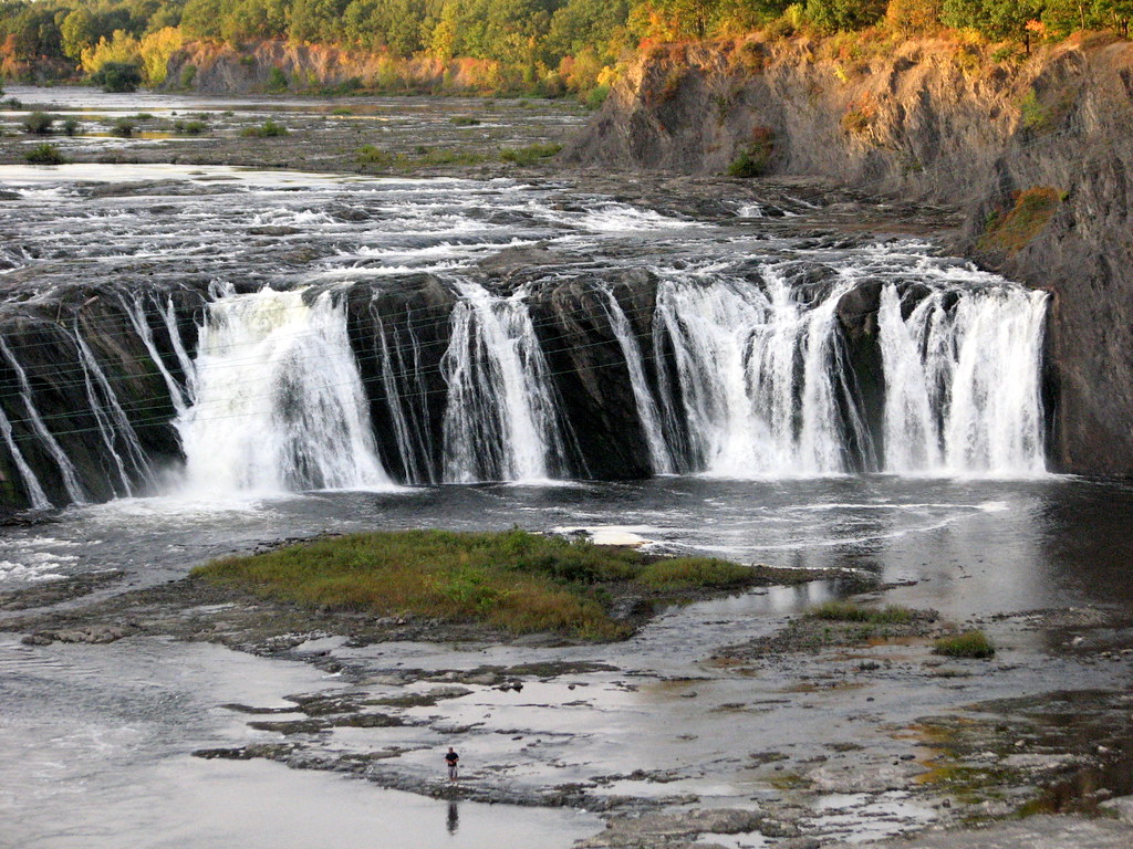
Dam at the downriver end
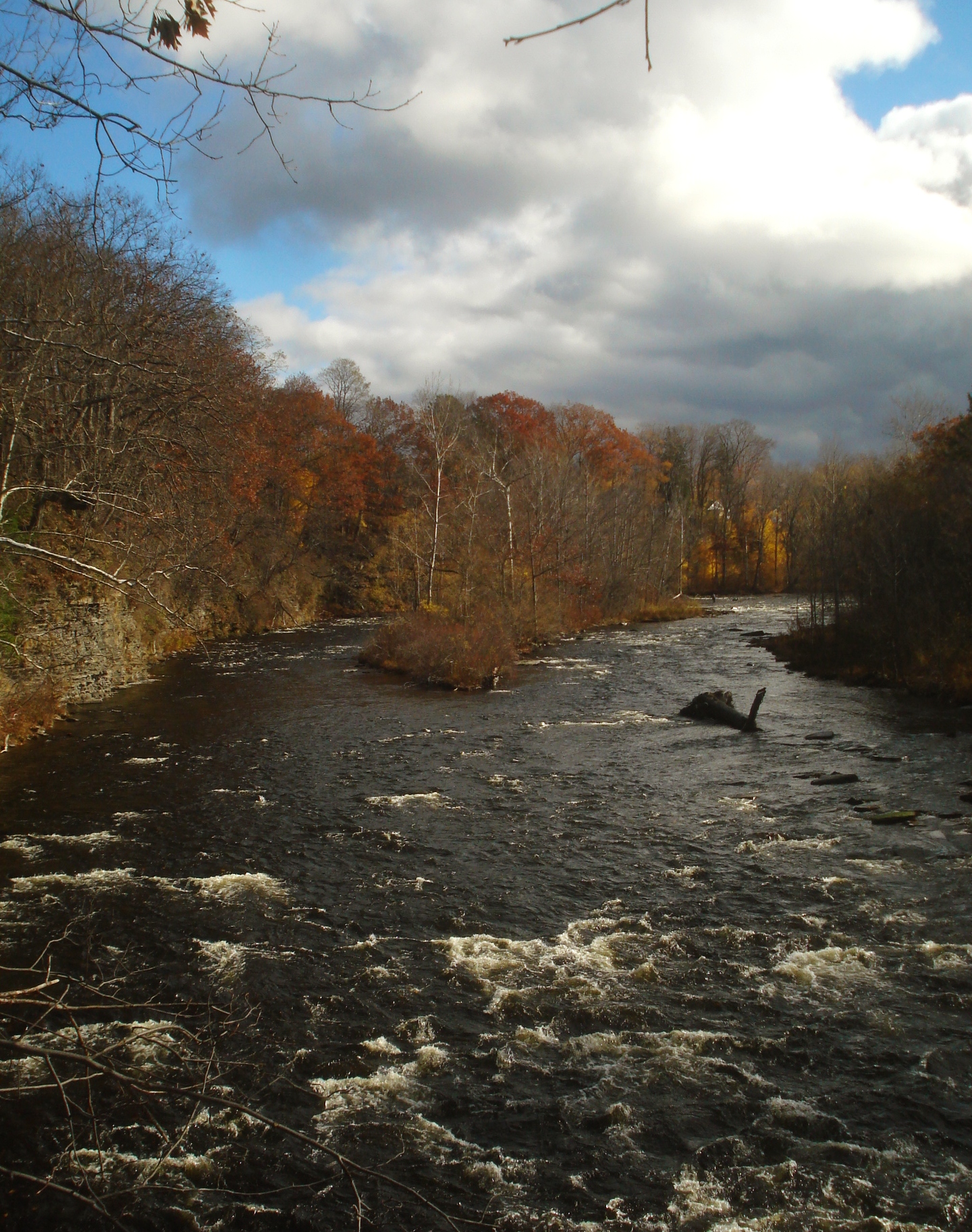
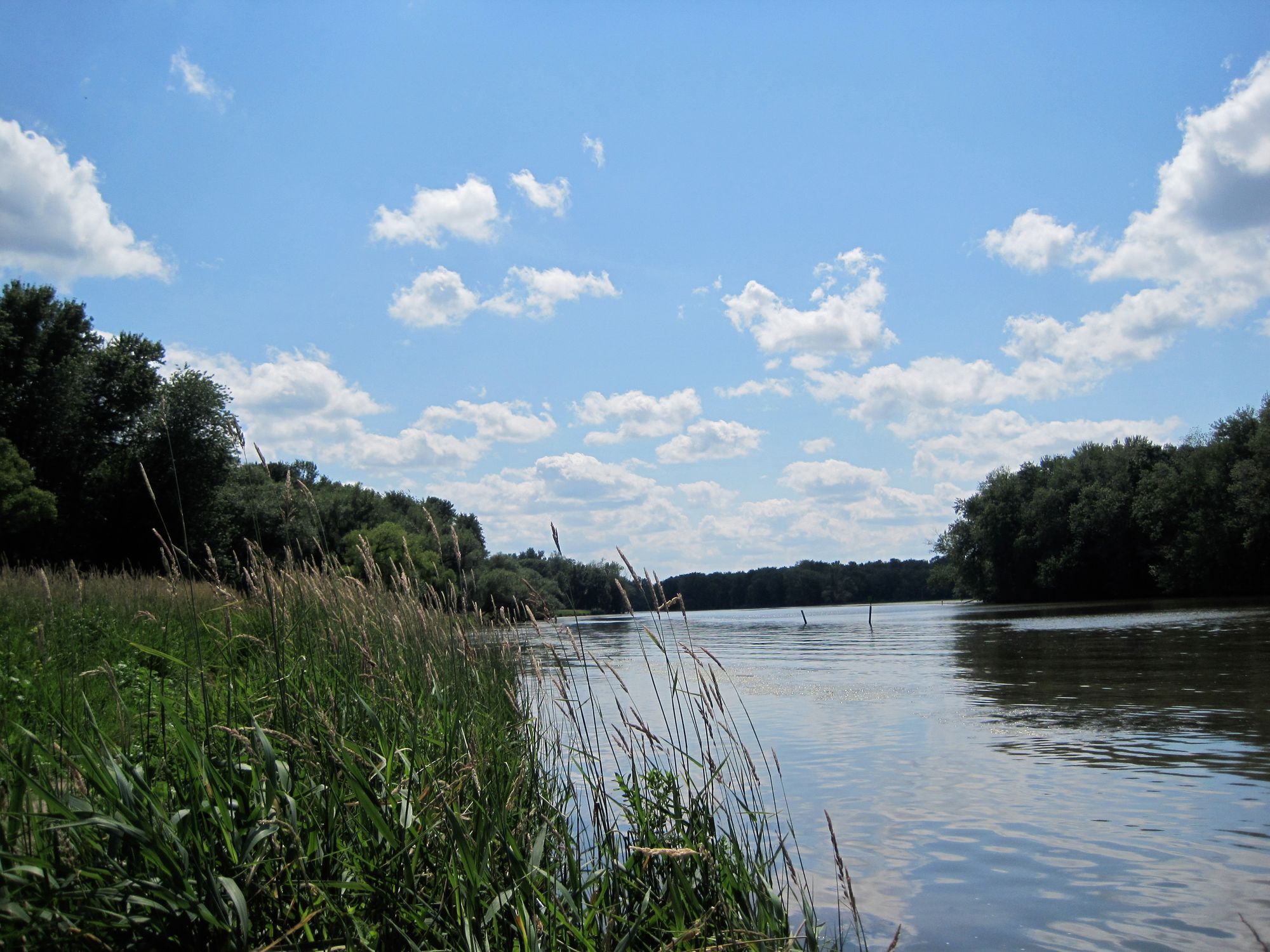
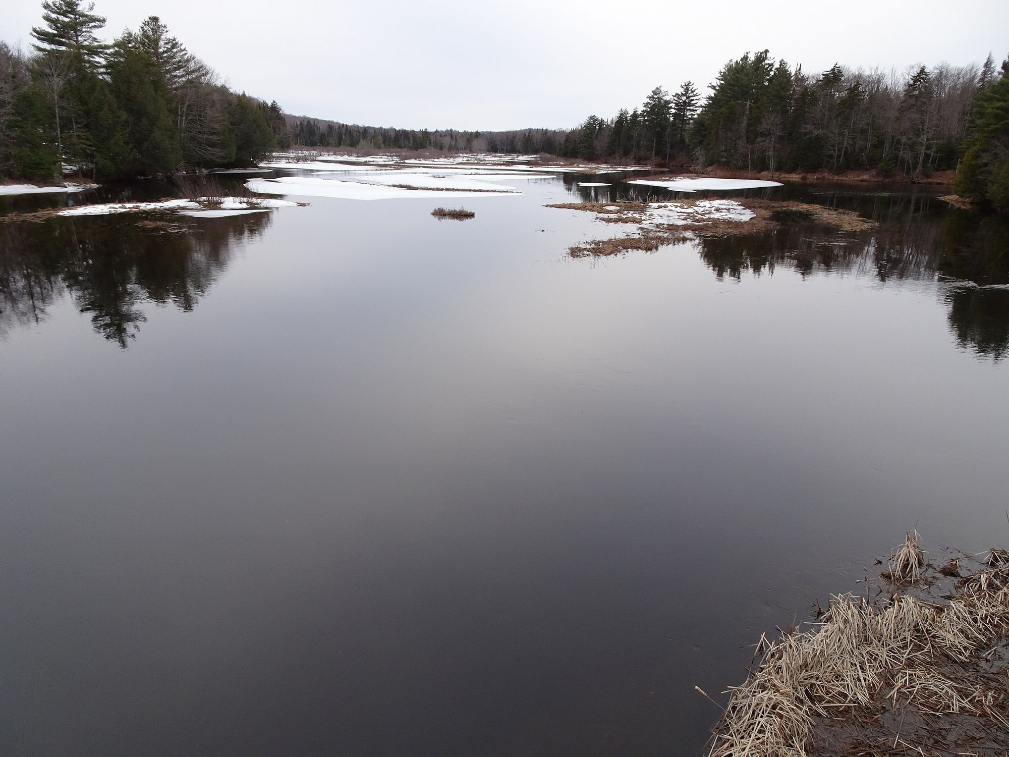
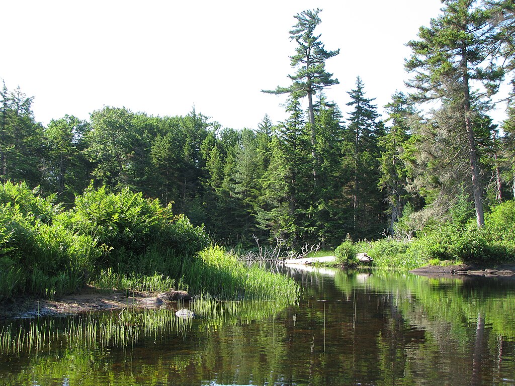
The Middle Branch Moose River is a scenic waterway in the Adirondack region of New York, originating near Old Forge and flowing generally northward. It joins with the North and South Branches to form the main stem Moose River, which ultimately drains into the Black River. The Middle Branch meanders through picturesque forests and wetlands for approximately 25-30 miles.
Paddling opportunities on the Middle Branch range from calm flatwater sections to challenging whitewater. The upper reaches near Old Forge offer an easy 6-mile round trip suitable for beginners, with a put-in at North Street and take-out at the Route 28 bridge in Thendara. Downstream, the river gains momentum, with popular whitewater runs from Singing Waters to McKeever (5 miles, Class II-IV) and McKeever to Rock Island (3 miles, Class III). Overall difficulty varies significantly, from flatwater suitable for novices to Class IV rapids requiring advanced skills. Paddlers should carefully match their abilities to the appropriate river sections.
Spring typically offers the highest water levels, but the river is generally paddleable from late spring through fall. Summer provides warmer temperatures but potentially lower water levels in some sections.
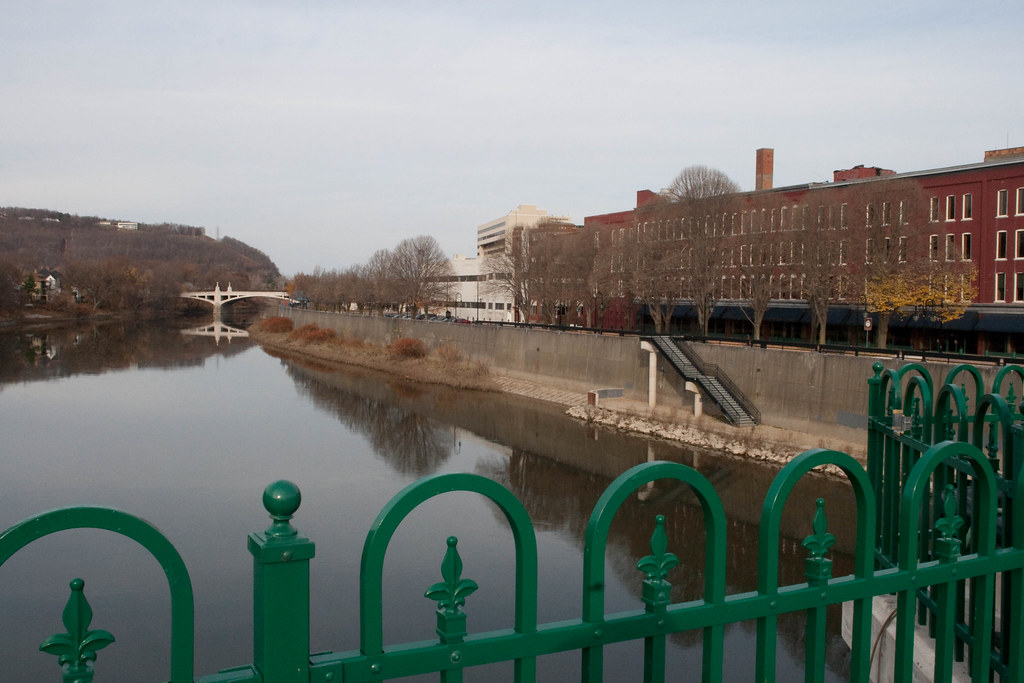
The river corridor supports diverse wildlife, including black bears, moose, and various bird species. Paddlers may spot black ducks and other waterfowl along the quieter stretches. Key landmarks include the Old Forge Dam, the green bridge in Thendara, and Rock Island. The river passes through or near the communities of Old Forge, Thendara, and McKeever, providing multiple access points.
Historically, the river played a role in logging operations and early transportation in the region. Today, it's a popular recreational resource, drawing paddlers, anglers, and nature enthusiasts.
Safety considerations include proper whitewater gear and skills for the more challenging sections, as well as awareness of potential strainers and changing water levels. New York state boating regulations apply. For multi-day adventures, paddlers can combine different sections of the Middle Branch or explore its confluence with other branches of the Moose River system, though camping options may be limited along some stretches.
Curated routes
Hand-picked by the PaddleWays team, with put-ins, take-outs, paddle times and the hazards along the way.
RouteFlatwater
Hazards
No paddler has reported a hazard here yet, so these are the dams, falls and big rapids on our map. Hazards change with flows and storms, so check them before you launch.
From the community
Nobody has shared a trip on Middle Branch Moose River yet. Paddle it, then tell the next paddler how it went.
See exactly where the public can get on and off the river. Launch points and boat ramps are paired with PaddleWays' public land data so you know where you can legally land.
Public shoreline
47%of the river's shoreline is public
Most of the riverbank is private. Launch, land and camp only at public access points.
Flows, weather and a route-by-route verdict, so you know which stretch of the Middle Branch Moose River is worth paddling today.
No forecast data available.
Live flows, marked hazards and fresh trip reports from paddlers who were just on the water, all in one place.





Every user gets free access to launch points, boat ramps, and public property parcels.

Loading popular cities...
PaddleWays gives you everything you need to plan smarter, paddle better, and own every trip from first launch to takeout.