Curated by PaddleWays
RouteClass II
- Distance
- 4.2 mi
- Paddle time
- ~1.5 hrs
- Put-in → take-out
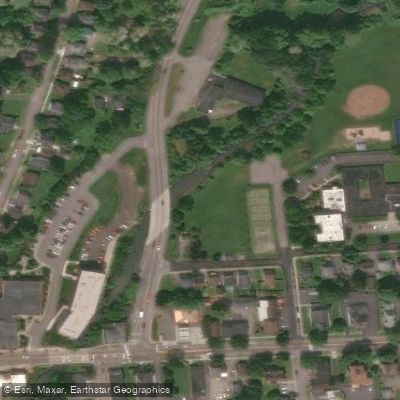
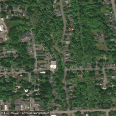
- Ninemile Creek Access → Camillus Boat Ramp
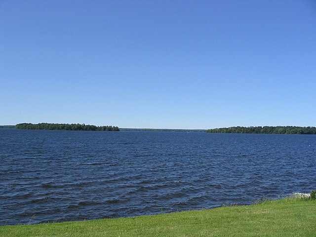
Ninemile Creek offers some of Central New York's most accessible and rewarding paddling, flowing 22 miles from Otisco Lake through the villages of Marcellus and Camillus before reaching Onondaga Lake. This medium-sized creek provides excellent opportunities for both novice and experienced paddlers, with the added benefit of being just minutes from Syracuse.
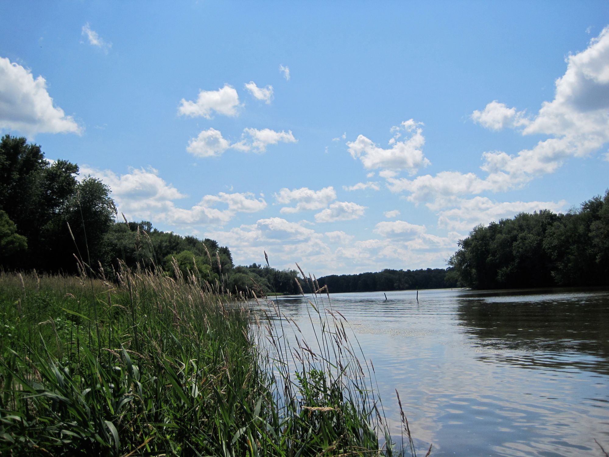
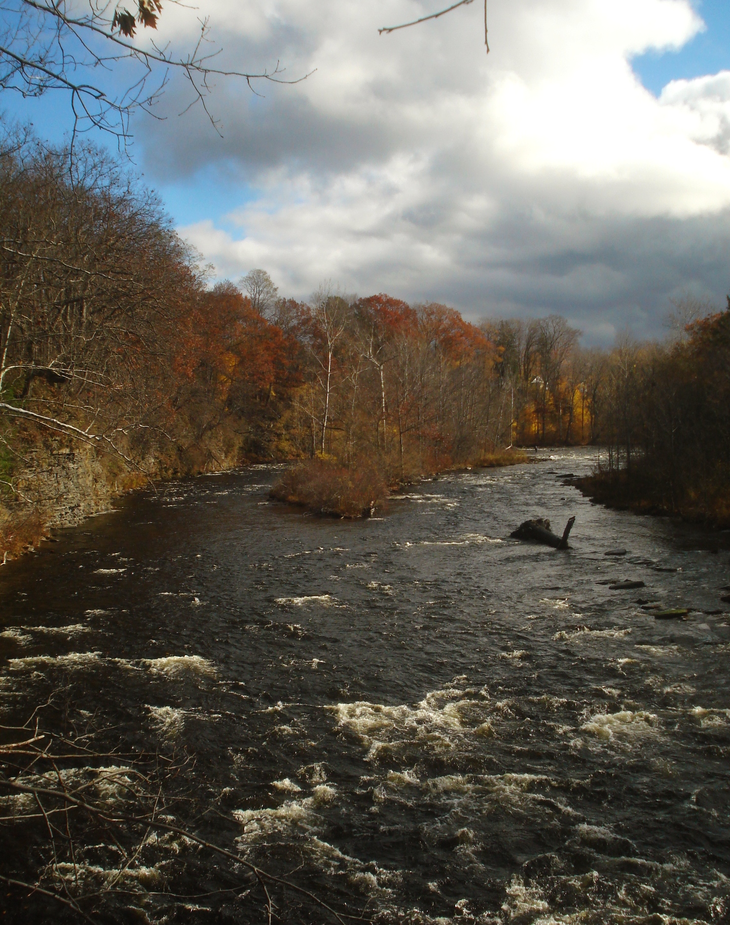
The Paddling Experience The creek's character transforms dramatically as you move downstream. The upper section from Otisco Lake to Marcellus runs warm in summer months, supporting warmwater species but offering gentle current perfect for beginners. The middle section between Marcellus and Camillus provides the creek's finest paddling, where cold-water springs create ideal trout habitat and more interesting water features. Here you'll navigate through the scenic "Alps" region, where the creek cuts through steep-sided valleys of the Onondaga Escarpment. The lower section from Camillus to Onondaga Lake opens into broader, slower water as you approach the lake. This stretch offers easy paddling with opportunities to explore restored wetlands near the mouth, where over 150 species of wildlife have returned following recent habitat restoration efforts.
Key Paddling Sections Munro Park to Onondaga Lake represents the most popular and accessible run. Starting at Munro Park in Camillus village, you'll paddle approximately 6 miles of gentle water suitable for all skill levels. The creek here maintains good depth year-round, flowing through a mix of suburban and natural settings before entering the extensive wetland restoration area near Onondaga Lake.
Honeywell Launch Area provides the most convenient access point near the creek's mouth on Pumphouse Road. From this launch, you have two excellent options: paddle upstream through beautifully restored wetlands where great blue herons and osprey are commonly spotted, or head downstream into Onondaga Lake itself to explore the western shoreline and the area around the Lakeview Amphitheatre.
Access and Logistics The Honeywell Launch on Pumphouse Road offers the easiest put-in, with parking for several vehicles and a short carry to the water. To reach it, take I-690 west to the State Fair exit, turn left at the light onto State Fair Boulevard, travel 0.8 miles, then turn left onto Pumphouse Road just before the Best Western. The launch is 0.2 miles down on your left. Munro Park in Camillus provides another excellent access point with better facilities including restrooms and picnic areas. Multiple fishing access points along Route 174 between Marcellus and Camillus offer additional put-in opportunities for shorter trips.
Timing and Conditions Spring through fall offers the best paddling conditions, with spring providing the most reliable water levels. Summer paddling is excellent in the lower sections, though the upper reaches can become quite warm. The restored wetlands near the mouth are particularly spectacular during spring and fall migrations. Water levels remain fairly consistent due to the Otisco Lake dam's flow regulation, making Ninemile Creek one of the more reliable paddling destinations in the region. Winter paddling is possible but requires careful attention to ice conditions.
Natural Features and Wildlife The creek's diverse habitats support an impressive array of wildlife. In the restored wetlands near Onondaga Lake, you'll encounter over 41,000 newly planted native trees, shrubs, and flowers creating habitat for numerous bird species. The middle sections feature limestone-influenced water supporting excellent trout populations, while beaver activity creates interesting backwater areas to explore. The creek corridor serves as an important migration pathway, making it particularly rewarding for wildlife observation during spring and fall. Great blue herons, osprey, and various waterfowl are commonly seen, especially in the lower wetland areas.
Hazards and Considerations While generally safe for paddlers of all levels, be aware of several low-head dams, particularly at Warners Road. The Route 5 culvert and Erie Canal aqueduct create low overhead clearances that require ducking or portaging depending on water levels. These features are well-marked but require attention. The creek's proximity to urban areas means occasional debris, though recent cleanup efforts have significantly improved conditions. Always wear your PFD, as required by law, and be prepared for changing weather conditions on Onondaga Lake if you choose to paddle into the larger water body.
What Makes It Special Ninemile Creek stands out for its remarkable accessibility and diversity within a short distance of Syracuse. The recent habitat restoration represents one of Central New York's most successful environmental recovery stories, transforming 30 acres of degraded land into thriving wetlands. Whether you're seeking a peaceful upstream paddle through restored wetlands, an easy downstream float suitable for families, or access to the larger waters of Onondaga Lake, Ninemile Creek delivers a consistently rewarding paddling experience that showcases the best of Central New York's recovering waterways.
Curated routes
Hand-picked by the PaddleWays team, with put-ins, take-outs, paddle times and the hazards along the way.
RouteClass II
Hazards
No paddler has reported a hazard here yet, so these are the dams, falls and big rapids on our map. Hazards change with flows and storms, so check them before you launch.
From the community
Nobody has shared a trip on Ninemile Creek yet. Paddle it, then tell the next paddler how it went.
See exactly where the public can get on and off the river. Launch points and boat ramps are paired with PaddleWays' public land data so you know where you can legally land.
Public shoreline
6%of the river's shoreline is public
Most of the riverbank is private. Launch, land and camp only at public access points.
Flows, weather and a route-by-route verdict, so you know which stretch of the Ninemile Creek is worth paddling today.
No forecast data available.
Live flows, marked hazards and fresh trip reports from paddlers who were just on the water, all in one place.





Every user gets free access to launch points, boat ramps, and public property parcels.
Loading popular cities...
PaddleWays gives you everything you need to plan smarter, paddle better, and own every trip from first launch to takeout.