Curated by PaddleWays
RouteFlatwater
- Distance
- 19.9 mi
- Paddle time
- ~6.5 hrs
- Put-in → take-out
- Oneida Shores Boat Ramp → Three Rivers Access
Workboats near canal infrastructure
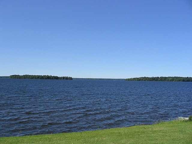
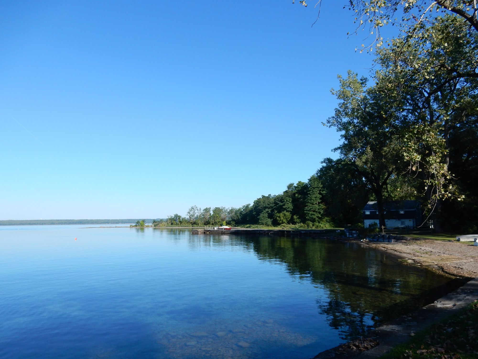
The Oneida River is a significant waterway in central New York, flowing westward from Oneida Lake to its confluence with the Seneca River, where they form the Oswego River. This 21-mile long river is part of the larger Finger Lakes-Oneida watershed and serves as a crucial link in the historic Erie Canal system.
Paddling opportunities on the Oneida River cater primarily to flatwater enthusiasts. The most popular section runs from Brewerton at the outlet of Oneida Lake to Three Rivers Point, offering an 11-mile stretch of gentle current and scenic views. Another notable route extends from Brewerton to Baldwinsville, covering approximately 12 miles of river. These sections are suitable for canoes, kayaks, and stand-up paddleboards, making the Oneida River accessible to paddlers of various skill levels.
The river's difficulty is consistently rated as flatwater, with no significant rapids or technical challenges. However, paddlers should be aware of potential boat traffic, especially near canal infrastructure and populated areas. The best times for paddling are typically late spring through early fall, with summer offering the most favorable conditions.
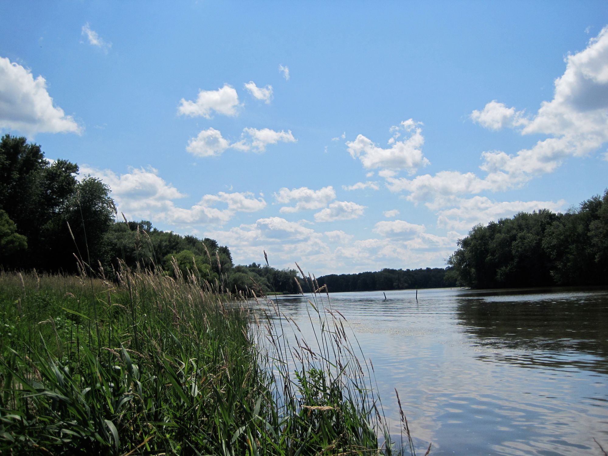
Wildlife enthusiasts will appreciate the diverse ecosystem along the Oneida River. The waterway is known for its fishing opportunities, with walleye and tiger musky occasionally found due to stocking programs in connected waterbodies. Birdwatchers may spot various waterfowl and shoreline species.
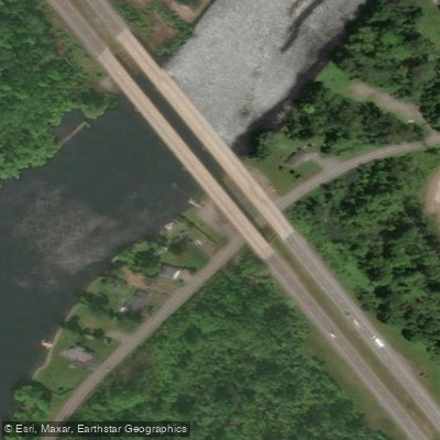
Key landmarks include the Route 11 bridge near Brewerton, which is set for a major replacement project, and the historic Three Rivers Point where the Oneida and Seneca Rivers converge. The river's connection to the Erie Canal system adds historical significance, with remnants of canal infrastructure visible along some stretches.
Primary access points include Oneida Shores Park in Brewerton, the Bennett Street access near the Route 11 bridge, and various points in Baldwinsville. These locations offer convenient put-in and take-out spots for day trips. For those interested in multi-day adventures, the Oneida River can be incorporated into longer journeys along the Erie Canal or combined with exploration of Oneida Lake and the connecting river systems.
Safety considerations include being aware of commercial traffic, especially near locks and in busier sections. Paddlers should also be mindful of weather conditions on this open waterway and follow all state boating regulations.
The Oneida River not only provides recreational opportunities but also plays a vital role in the region's water management and transportation history. Its gentle flow and scenic surroundings make it an excellent destination for paddlers looking to explore central New York's waterways.
Curated routes
Hand-picked by the PaddleWays team, with put-ins, take-outs, paddle times and the hazards along the way.
RouteFlatwater
Hazards
No paddler has reported a hazard here yet, so these are the dams, falls and big rapids on our map. Hazards change with flows and storms, so check them before you launch.
From the community
Nobody has shared a trip on Oneida River yet. Paddle it, then tell the next paddler how it went.
See exactly where the public can get on and off the river. Launch points and boat ramps are paired with PaddleWays' public land data so you know where you can legally land.
Public shoreline
14%of the river's shoreline is public
Most of the riverbank is private. Launch, land and camp only at public access points.
Flows, weather and a route-by-route verdict, so you know which stretch of the Oneida River is worth paddling today.
Live flows, marked hazards and fresh trip reports from paddlers who were just on the water, all in one place.





Every user gets free access to launch points, boat ramps, and public property parcels.
Loading popular cities...
PaddleWays gives you everything you need to plan smarter, paddle better, and own every trip from first launch to takeout.