Curated by PaddleWays
RouteFlatwater
- Distance
- 3.8 mi
- Paddle time
- ~1.5 hrs
- Best for
- Kayak, canoe
- Put-in → take-out
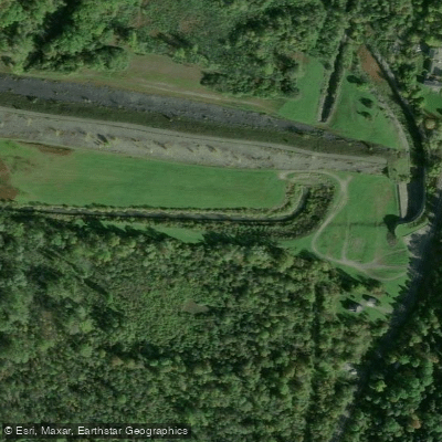
- Ballantyne Road Access → Downtown Syracuse Section Access
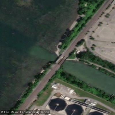
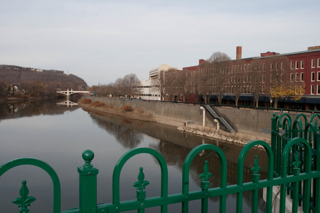
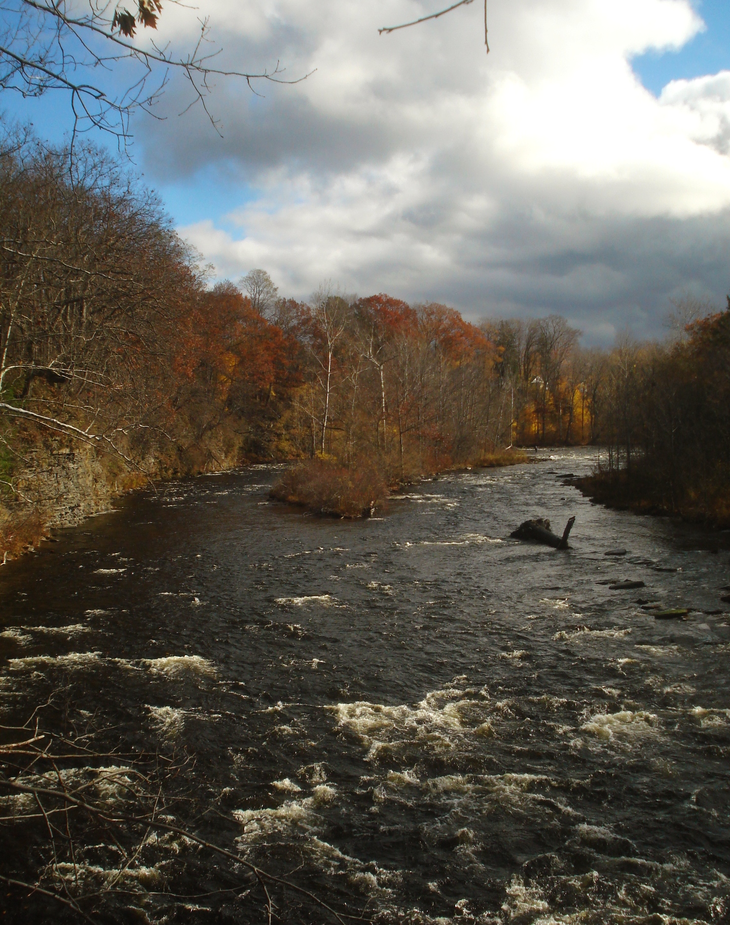
Onondaga Creek is an urban waterway that flows northward through the heart of Syracuse, New York before emptying into Onondaga Lake. This modest creek plays an outsized role in the city's geography and history, offering a unique blend of natural scenery and urban paddling experiences. The creek originates south of Syracuse and winds its way through the city for approximately 11 miles. As it flows north, it passes through residential neighborhoods, downtown Syracuse, and industrial areas before reaching Onondaga Lake. The creek's watershed encompasses much of the city and surrounding suburbs.
Paddling opportunities on Onondaga Creek are primarily flatwater, making it suitable for beginners and intermediate kayakers or canoeists. The most popular section runs from Kirk Park through downtown Syracuse to the Inner Harbor, a distance of about 4.8 miles. This stretch offers a unique perspective on the city, passing under historic bridges and through both natural corridors and channelized urban sections.
Water levels can fluctuate seasonally, with spring typically offering the most reliable flows. Summer and fall paddling is possible, but paddlers should check water levels, as some shallow sections may require portaging during drier periods. The creek is generally ice-free from April through October.
Despite its urban setting, Onondaga Creek supports a variety of wildlife. Paddlers may spot great blue herons, ducks, and even the occasional beaver. The creek's banks host a mix of native plants and urban greenery, with efforts underway to restore natural vegetation in some areas.
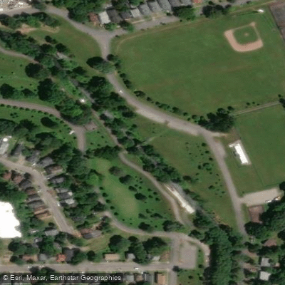
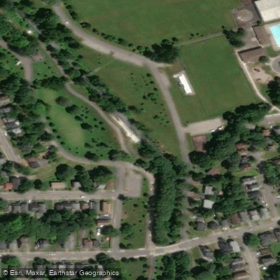
Key landmarks along the creek include the Clinton Square area in downtown Syracuse, where paddlers can glimpse the city's historic architecture. The creek also passes through several parks, including Kirk Park and Onondaga Park, offering green spaces amidst the urban landscape.
Access points have been improving in recent years. The Kirk Park boat launch, set to open in October 2024, will provide a key put-in point for paddlers. The Inner Harbor area now features a kayak/canoe launch near the intersection of Bear Street and Rensselaer Street, offering easy access to both the creek and the harbor area.
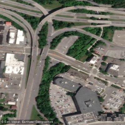
Historically, Onondaga Creek played a crucial role in the development of Syracuse, powering mills and later becoming part of the city's industrial corridor. Today, it's at the center of revitalization efforts, with the Onondaga Creekwalk trail running parallel to much of its urban course.
Safety considerations include being aware of water quality issues after heavy rains and watching for urban debris. Paddlers should also be prepared for occasional low bridges and potential obstacles in less maintained sections.
While multi-day trips are not typical on Onondaga Creek itself, paddlers can combine a creek journey with exploration of Onondaga Lake for a longer adventure, experiencing both the urban waterway and the recovering ecosystem of the lake.
Curated routes
Hand-picked by the PaddleWays team, with put-ins, take-outs, paddle times and the hazards along the way.
RouteFlatwater
RouteFlatwater
Hazards
No paddler has reported a hazard here yet, so these are the dams, falls and big rapids on our map. Hazards change with flows and storms, so check them before you launch.
From the community
Nobody has shared a trip on Onondaga Creek yet. Paddle it, then tell the next paddler how it went.
See exactly where the public can get on and off the river. Launch points and boat ramps are paired with PaddleWays' public land data so you know where you can legally land.
Public shoreline
9%of the river's shoreline is public
Most of the riverbank is private. Launch, land and camp only at public access points.
Flows, weather and a route-by-route verdict, so you know which stretch of the Onondaga Creek is worth paddling today.
All Flow Stations
Live flows, marked hazards and fresh trip reports from paddlers who were just on the water, all in one place.





Every user gets free access to launch points, boat ramps, and public property parcels.
Loading popular cities...
PaddleWays gives you everything you need to plan smarter, paddle better, and own every trip from first launch to takeout.