Curated by PaddleWays
RouteClass I–IV
- Distance
- 9.2 mi
- Paddle time
- ~2.5 hrs
- Put-in → take-out
- Norton Ave Walk-in Fishing Access Site → Valley Road Access
Potential Class IV rapids at high water
Oriskany Creek is a 33-mile long river in central New York that flows northward through Madison and Oneida counties before emptying into the Mohawk River at the village of Oriskany. The creek originates near Hamilton, NY and passes through the communities of Oriskany Falls, Clinton, and Whitesboro on its journey.
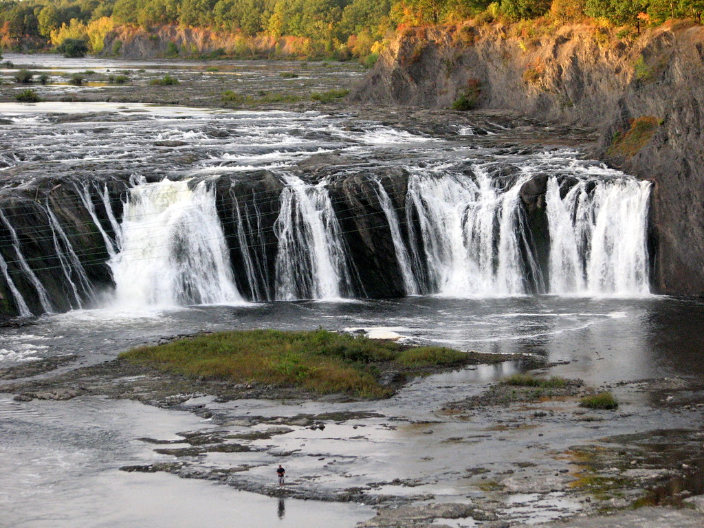
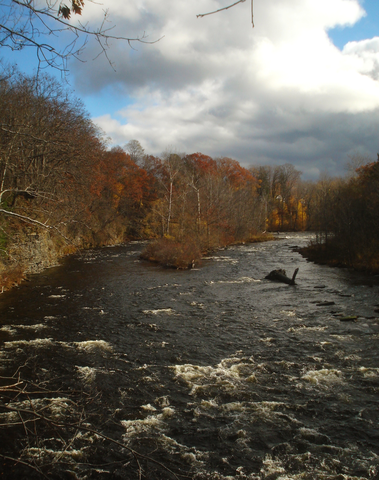
Paddlers can enjoy a variety of experiences on Oriskany Creek, from calm flatwater sections to more challenging whitewater. The overall difficulty ranges from Class I to II+, with some Class IV rapids possible during high water. The Clinton section offers an easy Class II run with waves, ledges and playspots. Near Oriskany Falls, a notable 20-foot waterfall topped by a V-shaped dam provides a thrilling Class IV challenge for advanced paddlers.
The creek is typically paddleable from spring through fall, with summer offering pleasant conditions for most skill levels. However, water levels can drop significantly during dry periods, potentially limiting navigation in shallower sections. Spring runoff provides the most consistent flow for whitewater enthusiasts.
Oriskany Creek is known for its brown trout fishing, with 16 miles of public fishing access available. The surrounding landscape features a mix of forests, farmland, and small towns, providing scenic views for paddlers. Historical sites related to the American Revolution can be found along the creek, most notably near the village of Oriskany where a significant battle took place in 1777.
Key access points include Clinton, Oriskany Falls, and Oriskany, with several bridges offering additional put-in and take-out options. Paddlers should be aware of dams, particularly the one above the waterfall in Oriskany Falls, and exercise caution around these structures.
For multi-day trips, paddlers can potentially cover the entire 33-mile length from Clinton to the Mohawk River confluence, though this would require careful planning due to varying water levels and potential obstacles.
The Oriskany Creek offers a rich paddling experience, combining natural beauty, historical significance, and a range of paddling challenges suitable for various skill levels. Its proximity to population centers like Utica and Rome makes it an accessible destination for both local paddlers and visitors to central New York.
Curated routes
Hand-picked by the PaddleWays team, with put-ins, take-outs, paddle times and the hazards along the way.
RouteClass I–IV
Hazards
No paddler has reported a hazard here yet, so these are the dams, falls and big rapids on our map. Hazards change with flows and storms, so check them before you launch.
From the community
Nobody has shared a trip on Oriskany Creek yet. Paddle it, then tell the next paddler how it went.
See exactly where the public can get on and off the river. Launch points and boat ramps are paired with PaddleWays' public land data so you know where you can legally land.
Public shoreline
1%of the river's shoreline is public
Most of the riverbank is private. Launch, land and camp only at public access points.
Flows, weather and a route-by-route verdict, so you know which stretch of the Oriskany Creek is worth paddling today.
Live flows, marked hazards and fresh trip reports from paddlers who were just on the water, all in one place.





Every user gets free access to launch points, boat ramps, and public property parcels.

Loading popular cities...
PaddleWays gives you everything you need to plan smarter, paddle better, and own every trip from first launch to takeout.