Oyster Bay
- Saltwater
- Bay
Oyster Bay
- Saltwater
- Bay
- Sq. miles
- 12
- Boat Ramps
- 2
- Access Points
- 0
- Campsites
- 0
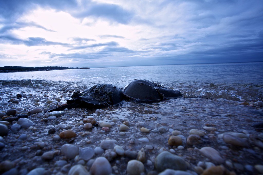
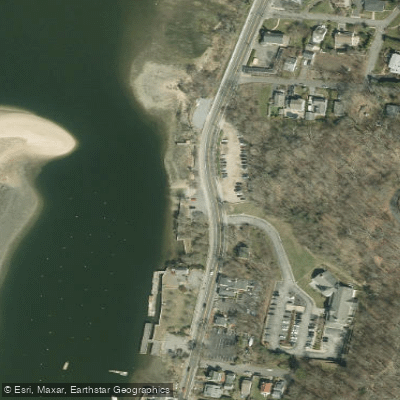
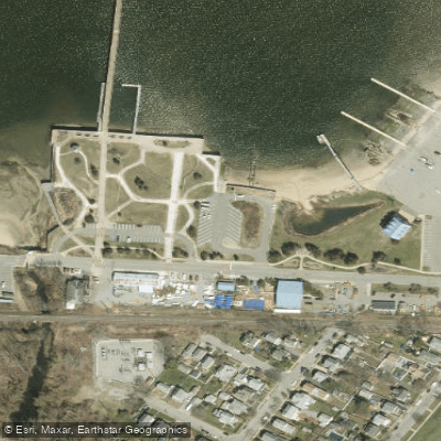
Oyster Bay Harbor is a coastal bay on the north shore of Long Island, New York, opening into Long Island Sound. It is a saltwater feature with significant tidal influence. The primary paddling experience involves exploring the protected waters of the harbor, with access to the more exposed waters of the Sound. Several public launch points are available. The Theodore Roosevelt Memorial Park and Beach in Oyster Bay offers a boat launching ramp and kayaking access. Harry Tappen Beach in Glenwood Landing also provides a boat launching ramp and kayak racks. The Garvies Point Boat Ramp in the City of Glen Cove offers a highly recommended launch, considered by some to be the best kayak launch in the region, with no fee. Creek Beach in the Village of Bayville is another noted kayak-friendly launch, though a fee may apply during the season. The WaterFront Center, located in Oyster Bay, serves as a central hub, offering daily paddleboard and kayak rentals for exploring Oyster Bay Harbor. Other facilities include Beekman Beach, which offers kayak and dinghy rentals, and Centre Island Beaches and Stehli Beach, which provide kayak launching access to Long Island Sound. Many of these town-operated beaches and ramps require a daily entry fee or seasonal parking sticker for vehicle access, with specific seasonal operating hours typically from late May through early September. The bay's shoreline features a mix of residential areas, parks, and natural preserves. Wildlife sightings can include cormorants and horseshoe crabs. The area holds maritime historical significance, highlighted by the presence of historic vessels like the oyster sloop CHRISTEEN. Paddlers should be aware that this is an active boating area with sailboat rentals, harbor tours, and a 267-slip marina at Harry Tappen, so attention to boat traffic is necessary, especially when crossing channels or near the harbor mouth. Wind fetch across the open Sound can create choppy conditions, and paddlers venturing out of the harbor should be prepared for potential surf at the beach entries along the Sound.
Water access, boat ramps & amenities
Learn how to get on Oyster Bay. Uncover great paddling access points, boat ramps, and all the facilities you need for an unforgettable day on the water. Some locations shown may border or include private property. Always check property boundaries and applicable regulations before visiting. PaddleWays's Public & Private Land layer can help you plan your access with confidence.
Paddle smarter with real-time insights
Whether you're en route and conditions shift or you're looking for the best spot based on current flows, we enable you to make informed decisions on the fly.








Find Places to Paddle

Over 400,000 Places to Paddle
Every user gets free access to launch points, boat ramps, and public property parcels.


Tides, wind & water conditions (10 day forecast)
On open water, wind and tide matter as much as the weather. See the best times to paddle Oyster Bay and check the marine forecast before you launch.
Loading tide predictions…
Paddling near Oyster Bay

Hudson River

Croton River

Housatonic River

Raritan River
Hempstead Harbor
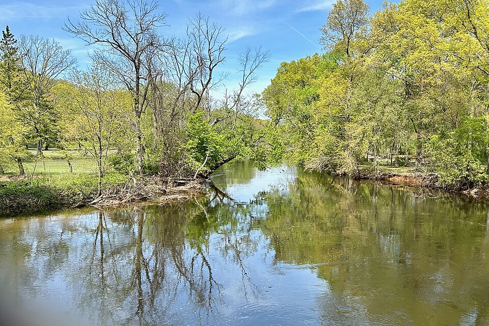
Rockaway River
Peconic River
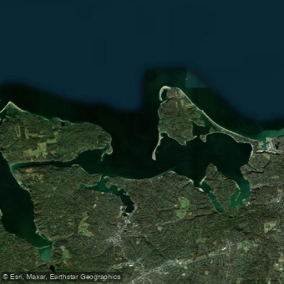
Huntington Bay
Explore New York waters
Top paddling waters
Popular Cities
Loading popular cities...
Explore near Oyster Bay
Access points
Nearby waters
More in New York

Smarter Paddling Starts in the App.
Paddleways gives you everything you need to plan smarter, paddle better, and own every trip from first launch to takeout.