Curated by PaddleWays
RouteFlatwater
- Distance
- 7.1 mi
- Paddle time
- ~2.5 hrs
- Best for
- Beginners, families, intermediate paddlers
- Put-in → take-out
- Raquette River Boat Ramp → Crusher Boat Ramp (Raquette River)
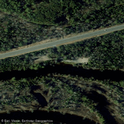
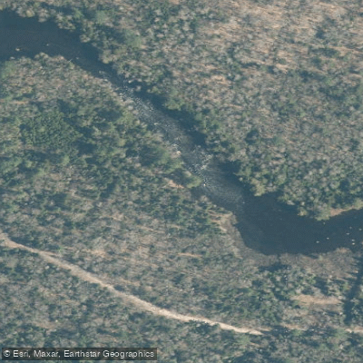
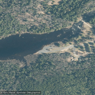
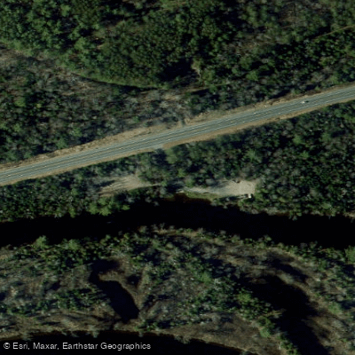
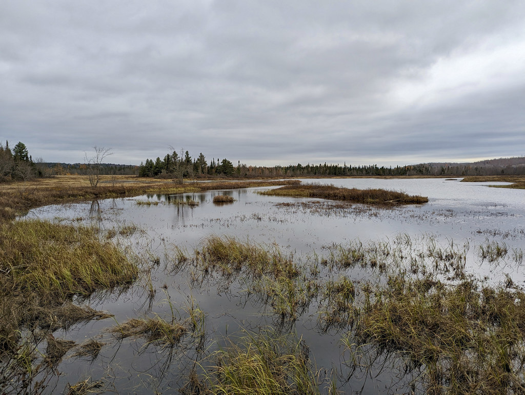
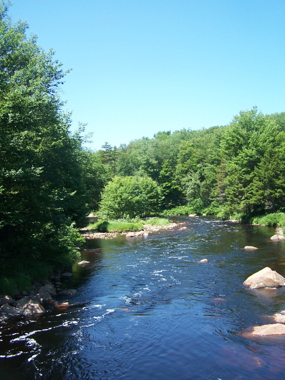
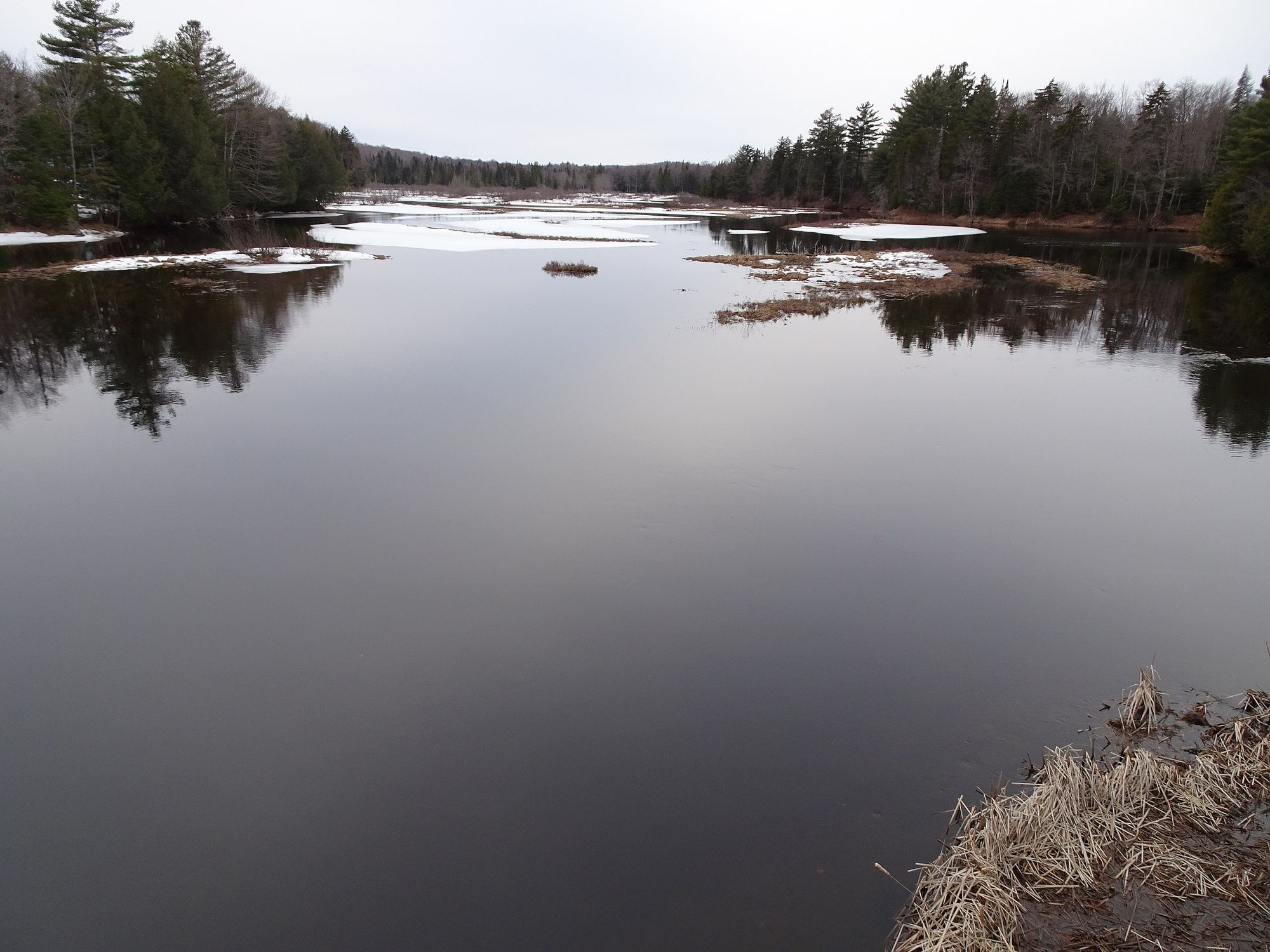
The Raquette River is one of the most significant waterways in New York's Adirondack region, flowing northward for 146 miles from its source at Raquette Lake to its mouth at the St. Lawrence River. This diverse river system drains a watershed of over 1,200 square miles, passing through numerous lakes, ponds, and forests along its journey. Paddling opportunities on the Raquette River range from serene flatwater stretches to challenging whitewater rapids, offering something for every skill level. The upper sections, including Long Lake to Tupper Lake, provide excellent multi-day wilderness trips with mostly calm waters. The middle reaches around Tupper Lake feature scenic oxbows and meandering channels perfect for day trips. Further downstream, experienced paddlers can tackle the thrilling Class II-V rapids of Stone Valley and other whitewater sections.
The river's difficulty varies dramatically, from easy flatwater suitable for beginners to expert-level whitewater requiring advanced skills. Paddlers should carefully research each section and match it to their abilities. Spring typically offers the highest water levels for whitewater runs, while summer and fall provide more stable conditions for flatwater paddling.
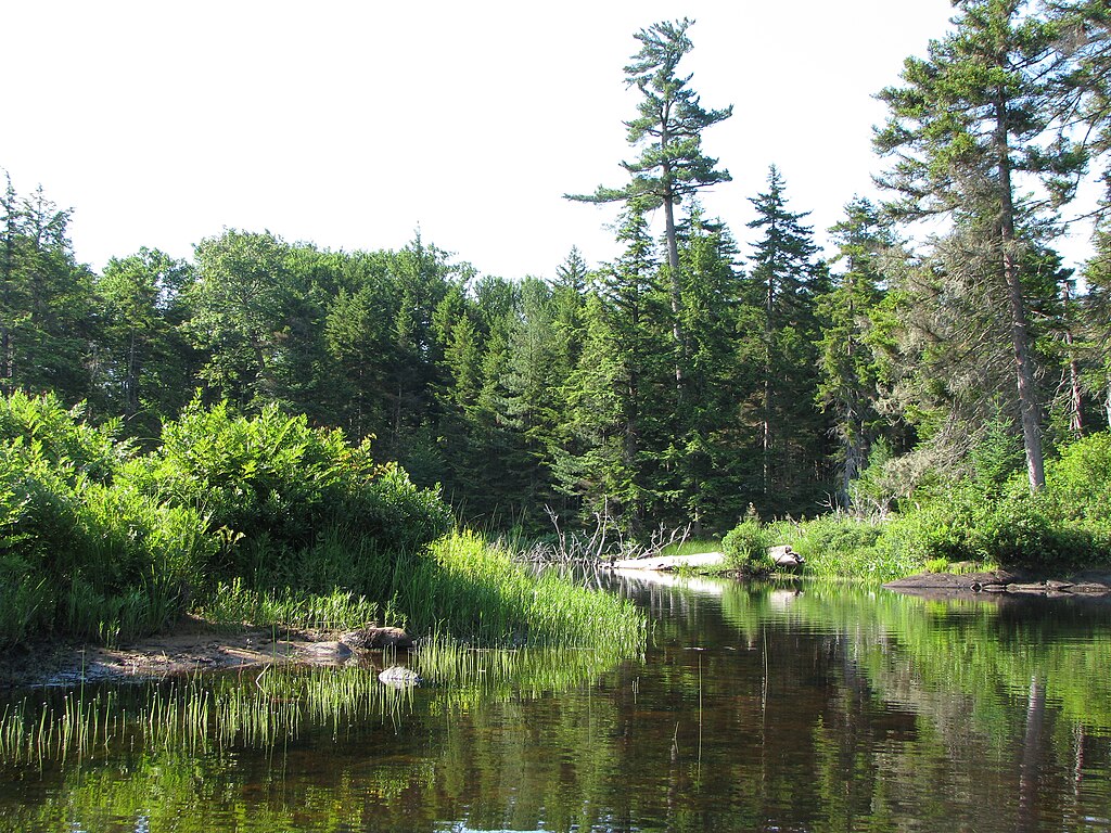
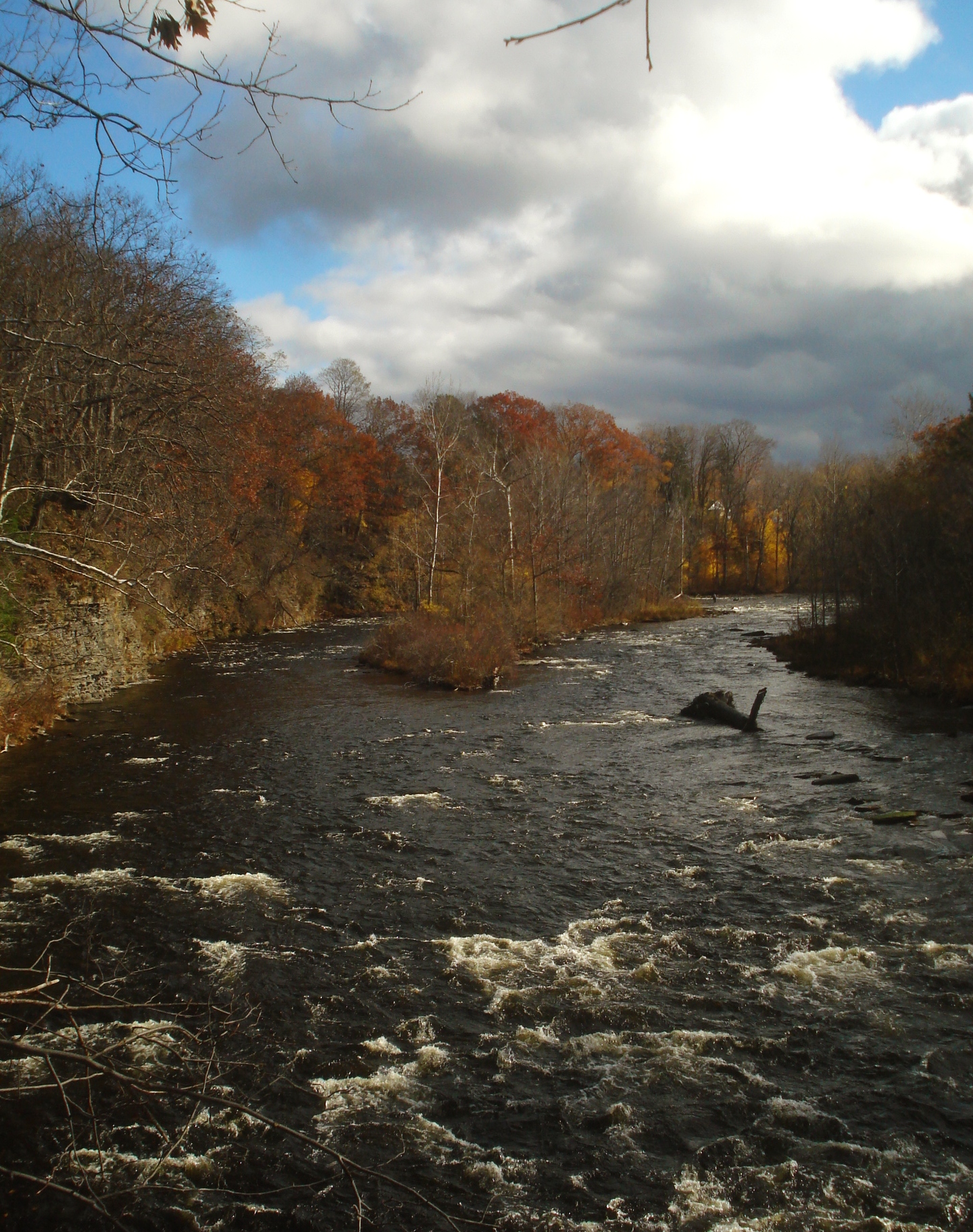
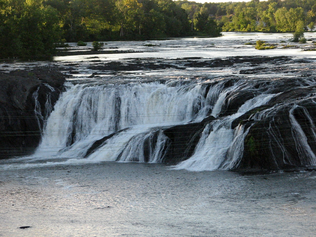
The Raquette River corridor supports a rich ecosystem, home to diverse wildlife including moose, black bears, beavers, and numerous bird species. The surrounding forests showcase a mix of hardwoods and conifers, with stunning fall foliage displays. Key landmarks include the historic Crusher boat launch near Tupper Lake, Raquette Falls (requiring a 1.3-mile portage), and the impressive Stone Valley gorge. Popular access points include Long Lake, Axton Landing, Tupper Lake, and Colton, all providing nearby amenities.
The river holds great cultural significance, having been used for centuries by Native Americans and later playing a crucial role in logging operations. Today, it's a vital recreational resource and part of the 740-mile Northern Forest Canoe Trail. Safety considerations include being prepared for remote wilderness areas, checking water levels before whitewater sections, and adhering to local regulations regarding camping and fire use. Multi-day trip options are plentiful, with a classic route being the 30-mile paddle from Long Lake to Tupper Lake, typically done over 2-3 days. The Raquette River offers a quintessential Adirondack paddling experience, combining natural beauty, varied paddling challenges, and rich history into one remarkable waterway.
Curated routes
Hand-picked by the PaddleWays team, with put-ins, take-outs, paddle times and the hazards along the way.
RouteFlatwater
RouteClass II–III
RouteFlatwater
RouteFlatwater
Hazards
No paddler has reported a hazard here yet, so these are the dams, falls and big rapids on our map. Hazards change with flows and storms, so check them before you launch.
From the community
Nobody has shared a trip on Raquette River yet. Paddle it, then tell the next paddler how it went.
See exactly where the public can get on and off the river. Launch points and boat ramps are paired with PaddleWays' public land data so you know where you can legally land.
Public shoreline
31%of the river's shoreline is public
Most of the riverbank is private. Launch, land and camp only at public access points.
Flows, weather and a route-by-route verdict, so you know which stretch of the Raquette River is worth paddling today.
All Flow Stations
Scheduled releases and generation forecasts from the dams on Raquette River.
Raquette River · Below Colton Dam · Brookfield Renewable
120 cfs now
Forecast updated today at 7:42 PM EST. Schedules can change, so check the operator's page before you go.
Raquette River · Below Hannawa Falls · Brookfield Renewable
50 cfs now
Forecast updated today at 7:42 PM EST. Schedules can change, so check the operator's page before you go.
Raquette River · Below Sugar Island Dam · Brookfield Renewable
450 cfs now
Forecast updated today at 7:42 PM EST. Schedules can change, so check the operator's page before you go.
Live flows, marked hazards and fresh trip reports from paddlers who were just on the water, all in one place.





Every user gets free access to launch points, boat ramps, and public property parcels.

Loading popular cities...
PaddleWays gives you everything you need to plan smarter, paddle better, and own every trip from first launch to takeout.