Curated by PaddleWays
RouteClass II–III
- Distance
- 7.7 mi
- Paddle time
- ~2 hrs
- Best for
- Intermediate paddlers
- Put-in → take-out
- Saint Regis Falls Access → Nicholville Access
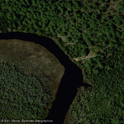
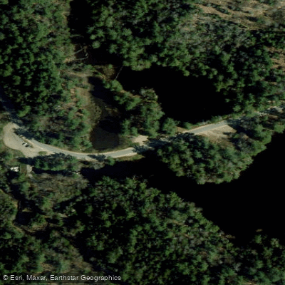
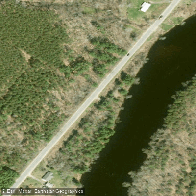
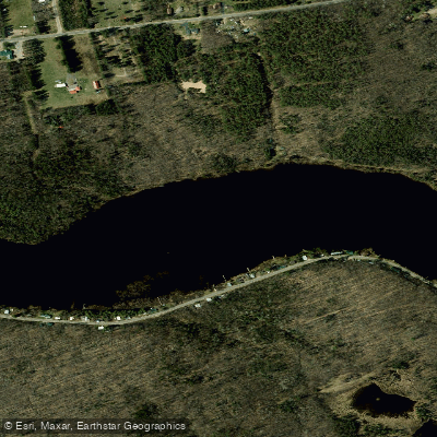
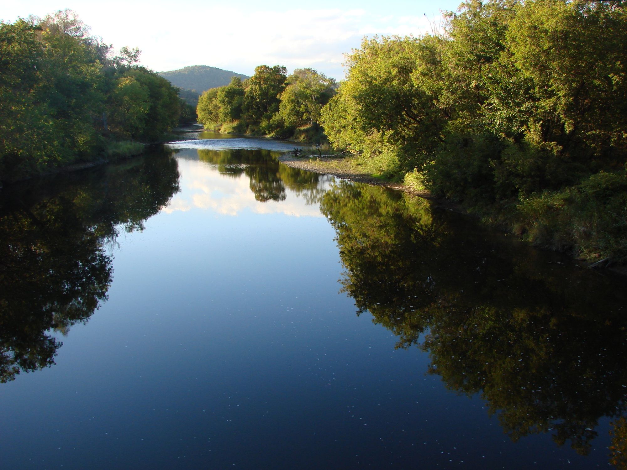
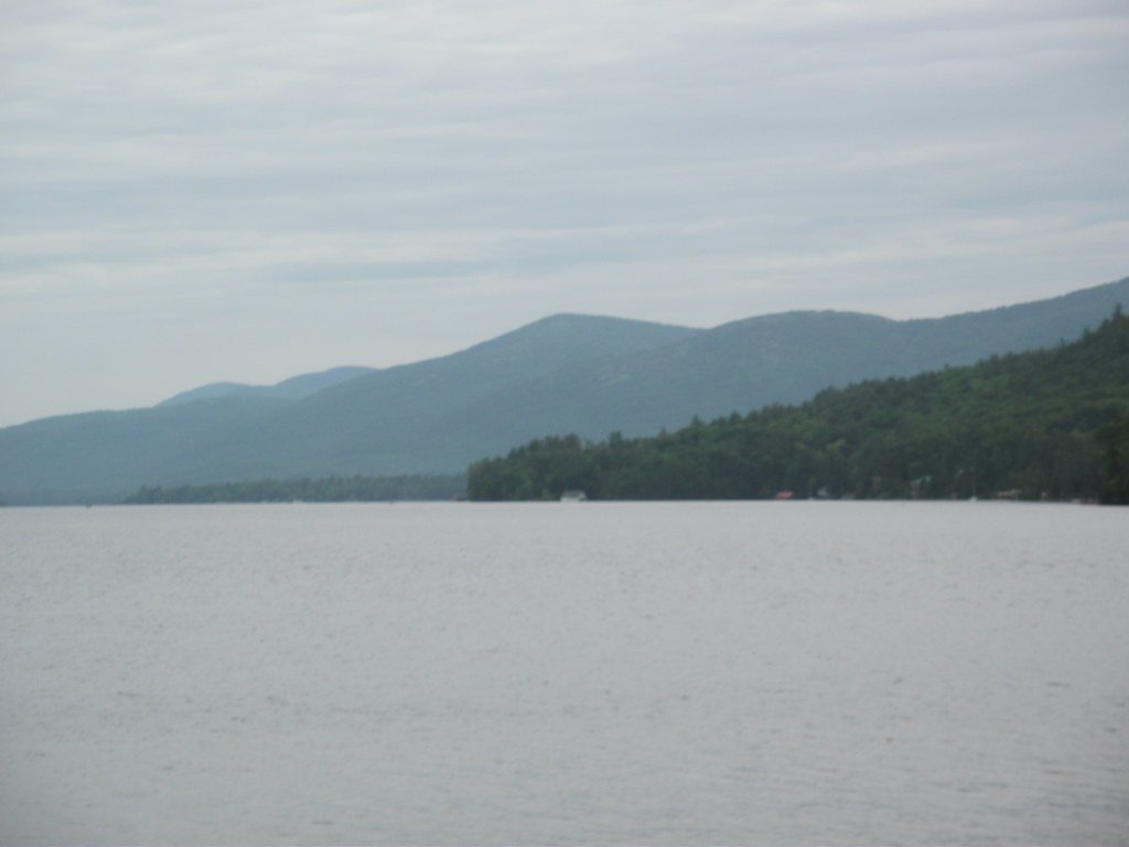
The Saint Regis River, nestled in the heart of New York's Adirondack region, offers paddlers a diverse and exciting whitewater experience. This scenic waterway flows through St. Lawrence County, showcasing the natural beauty of upstate New York's wilderness.
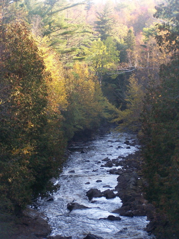
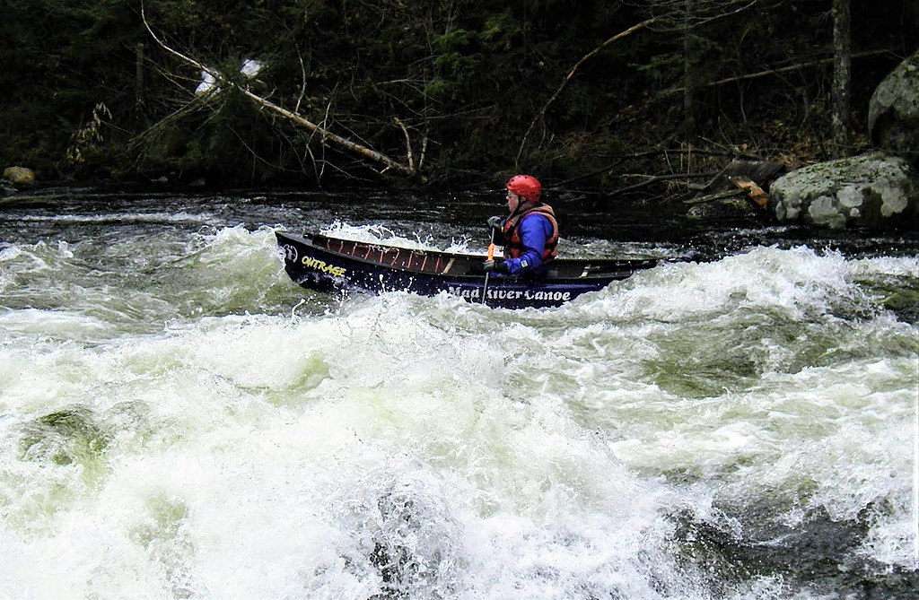
The most notable section for whitewater enthusiasts is the 11-mile stretch from Winthrop to Route 92 above Helena. This run provides a perfect blend of challenges, with rapids ranging from Class I to III, making it ideal for intermediate paddlers looking to hone their skills. The continuous nature of the whitewater ensures an engaging journey from start to finish, with a mix of easy riffles and more demanding rapids keeping paddlers on their toes throughout the day.
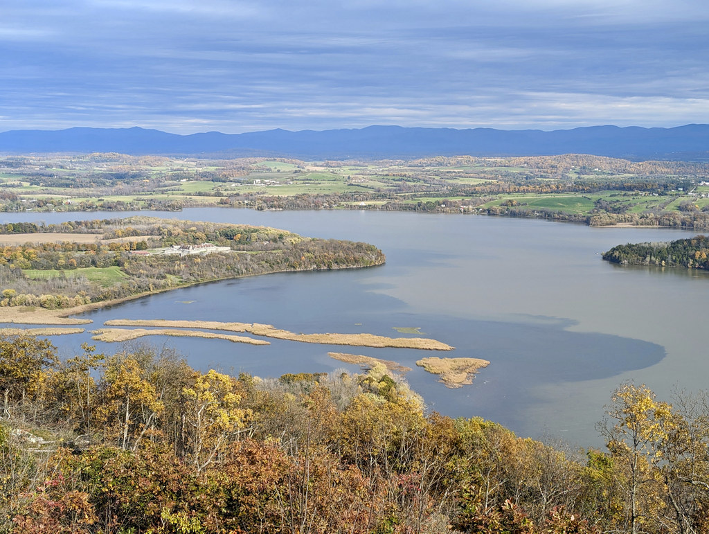
While the Saint Regis River is primarily known for this whitewater section, the surrounding Saint Regis Canoe Area offers a contrasting paddling experience. This 18,400-acre wilderness area is the only designated Canoe Area in New York State, featuring a network of serene lakes and ponds perfect for flatwater canoeing and kayaking.
The best time to paddle the whitewater section is typically in the spring when water levels are highest due to snowmelt. However, it's essential to check current conditions before embarking on any trip, as water levels can fluctuate throughout the year. The Canoe Area, on the other hand, offers excellent paddling opportunities from late spring through early fall.
Wildlife enthusiasts will appreciate the chance to spot various Adirondack species, including deer, beavers, and a variety of bird species. The surrounding forests are primarily composed of mixed hardwoods and conifers, creating a picturesque backdrop for your paddling adventure.
For those interested in multi-day trips, the Saint Regis Canoe Area offers numerous options. Popular routes include the Paul Smiths/St Regis Lakes circuit, which combines natural beauty with historical significance. This area has a rich history, including visits by notable figures such as Teddy Roosevelt, who explored the region as a young man.
Access to the whitewater section is convenient for paddlers coming from the Ogdensburg-Massena area. For those interested in the Canoe Area, the town of Saranac Lake serves as an excellent base, offering outfitting services and local expertise.
Safety is paramount when paddling the Saint Regis River. Whitewater paddlers should have appropriate skills and equipment for Class III rapids. In the Canoe Area, while the waters are calmer, proper wilderness preparedness is essential. All paddlers should be aware of Leave No Trace principles to help preserve the pristine nature of this beautiful Adirondack waterway.
Whether you're seeking the thrill of whitewater or the serenity of wilderness paddling, the Saint Regis River and its surrounding Canoe Area offer a quintessential Adirondack experience that will leave you with lasting memories of New York's natural splendor.
Curated routes
Hand-picked by the PaddleWays team, with put-ins, take-outs, paddle times and the hazards along the way.
RouteClass II–III
Hazards
No paddler has reported a hazard here yet, so these are the dams, falls and big rapids on our map. Hazards change with flows and storms, so check them before you launch.
From the community
Nobody has shared a trip on Saint Regis River yet. Paddle it, then tell the next paddler how it went.
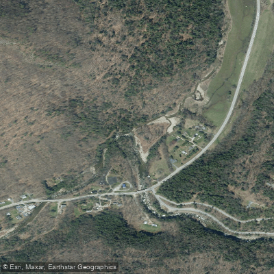
See exactly where the public can get on and off the river. Launch points and boat ramps are paired with PaddleWays' public land data so you know where you can legally land.
Public shoreline
35%of the river's shoreline is public
Most of the riverbank is private. Launch, land and camp only at public access points.
Flows, weather and a route-by-route verdict, so you know which stretch of the Saint Regis River is worth paddling today.
Live flows, marked hazards and fresh trip reports from paddlers who were just on the water, all in one place.





Every user gets free access to launch points, boat ramps, and public property parcels.


Loading popular cities...
PaddleWays gives you everything you need to plan smarter, paddle better, and own every trip from first launch to takeout.