Curated by PaddleWays
RouteClass II–III
- Distance
- 3.9 mi
- Paddle time
- ~1 hr
- Best for
- Intermediate paddlers
- Put-in → take-out
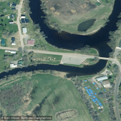
- Whippleville Access → Malone Access
Salmon River Paddling Guide: Franklin County's Hidden Whitewater Gem Flowing through the rugged terrain of Franklin County, New York, the Salmon River offers paddlers an exceptional whitewater experience in the heart of the Adirondack region. This dynamic waterway winds through pristine wilderness before joining the broader Salmon River system, providing everything from technical Class V+ drops to more moderate Class II-IV runs that showcase the raw beauty of northern New York's backcountry.
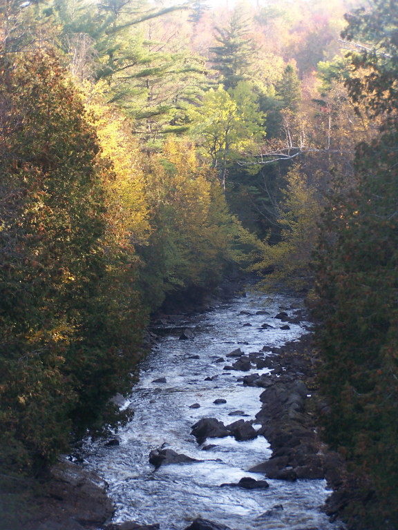
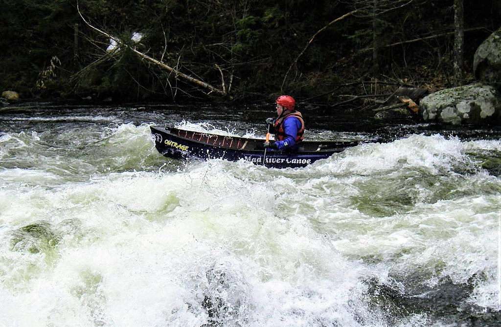
River Character and Sections The Salmon River in Franklin County presents a tale of two distinct personalities. The upper reaches, particularly the legendary Chasm Falls section, deliver an intense half-mile of Class V+ whitewater that ranks among the most challenging runs in the Northeast. Here, you'll find yourself navigating through a dramatic gorge where the river plunges over massive boulders and through narrow chutes that demand expert-level skills and unwavering commitment.
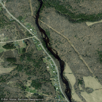
Downstream, the character mellows considerably as the river transitions into the more accessible Chasm Falls to Westville Center section. This 20-mile stretch offers sustained Class II-IV paddling that weaves through dense Adirondack forest, providing an ideal playground for intermediate to advanced paddlers seeking adventure without the extreme consequences of the upper gorge.
Access and Navigation The most popular put-in for the extreme Chasm Falls section lies at the bend in Route 27, just below the spectacular waterfall itself. You'll find limited parking here, so arrive early during peak season. The take-out sits at the intersection with Brick Church Road, requiring a short but manageable shuttle.
For the longer Chasm Falls to Westville Center run, paddlers typically access the river via Duane Road near the Chasm Falls fishing access area. This section offers multiple intermediate access points, allowing you to customize your adventure based on conditions and skill level. The scenic drive through Franklin County's rolling hills and working farms provides a beautiful approach to the river.
Seasonal Considerations and Flow Spring runoff from late March through May typically provides the most reliable flows, when snowmelt from the surrounding Adirondack peaks feeds the river system. Summer flows can become marginal, though occasional thunderstorms may provide brief windows of paddleable water. Fall offers another excellent season, particularly after heavy rains, when the surrounding hardwood forests explode in brilliant autumn colors.
Water levels fluctuate dramatically on this system, and the technical nature of many sections means that high water can quickly transform challenging rapids into dangerous torrents. We recommend checking local conditions and consulting with area paddlers before committing to any run, especially the upper sections.
Scenery and Natural Features The Salmon River corridor showcases some of Franklin County's most pristine wilderness. Towering hemlocks and white pines create cathedral-like canopies over the water, while granite walls rise dramatically from the riverbanks in the gorge sections. Wildlife sightings are common – you might spot deer coming to drink at quiet pools, or catch glimpses of the occasional black bear foraging along the shoreline.
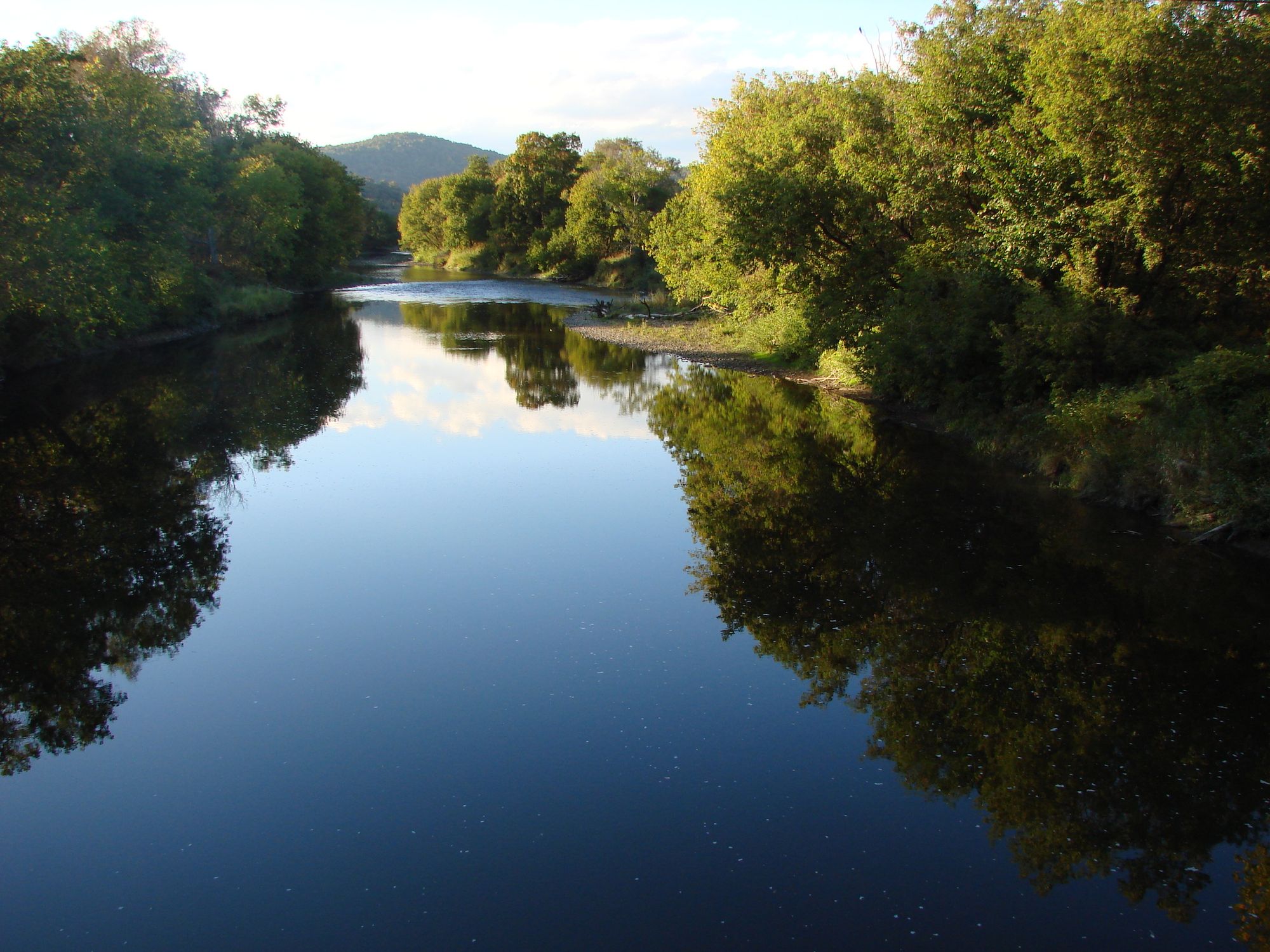
The river's clear, cold water reflects the surrounding forest, creating an almost ethereal paddling experience. In the technical sections, massive boulders create complex hydraulics and require precise boat placement, while the mellower stretches allow time to appreciate the untouched beauty of this Adirondack gem.
Hazards and Safety Considerations The Salmon River demands respect and preparation. The Class V+ sections contain several mandatory moves with serious consequences for mistakes – undercuts, sieves, and powerful hydraulics are all present. Even the moderate sections can become treacherous during high water, when normally friendly rapids transform into pushy, debris-laden torrents.
Cold water temperatures persist well into summer, making hypothermia a year-round concern. The remote nature of many sections means that self-rescue skills are essential, and we strongly recommend paddling with experienced partners who know the river intimately.
What Makes This Special What sets Franklin County's Salmon River apart is its authentic wilderness character combined with world-class whitewater. Unlike more developed rivers, you'll find no crowds here – just pristine Adirondack wilderness and challenging rapids that test your skills while rewarding you with unforgettable scenery.
The river offers something for serious whitewater enthusiasts seeking their next great challenge, while the longer, more moderate sections provide excellent training grounds for paddlers looking to advance their skills. The combination of technical difficulty, stunning natural beauty, and genuine remoteness creates an experience that embodies the very best of Adirondack paddling.
For those ready to tackle one of New York's most demanding rivers, the Salmon River in Franklin County delivers an adventure that will test your abilities while immersing you in some of the most beautiful wilderness the Northeast has to offer.
Curated routes
Hand-picked by the PaddleWays team, with put-ins, take-outs, paddle times and the hazards along the way.
RouteClass II–III
Hazards
No paddler has reported a hazard here yet, so these are the dams, falls and big rapids on our map. Hazards change with flows and storms, so check them before you launch.
From the community
Nobody has shared a trip on Salmon River yet. Paddle it, then tell the next paddler how it went.
See exactly where the public can get on and off the river. Launch points and boat ramps are paired with PaddleWays' public land data so you know where you can legally land.
Public shoreline
13%of the river's shoreline is public
Most of the riverbank is private. Launch, land and camp only at public access points.
Flows, weather and a route-by-route verdict, so you know which stretch of the Salmon River is worth paddling today.
No forecast data available.
Live flows, marked hazards and fresh trip reports from paddlers who were just on the water, all in one place.





Every user gets free access to launch points, boat ramps, and public property parcels.


Loading popular cities...
PaddleWays gives you everything you need to plan smarter, paddle better, and own every trip from first launch to takeout.