Curated by PaddleWays
RouteClass II
- Distance
- 2.2 mi
- Paddle time
- ~0.5 hrs
- Put-in → take-out
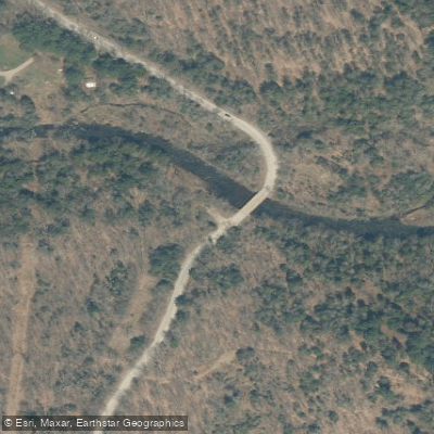
- Kelly Road → East Canada Creek Access
Sprite Creek flows through the southern Adirondack region of New York, primarily traversing Fulton County with its headwaters originating near the Canada Lakes area. This tributary of East Canada Creek runs approximately 14 miles in a generally southeasterly direction, draining a watershed that includes portions of the towns of Caroga, Stratford, and Ephratah before joining East Canada Creek northeast of Dolgeville in Herkimer County. The creek originates at elevations around 1,549 feet near Canada Lake and descends to approximately 902 feet at its confluence with East Canada Creek. This 647-foot drop over its course creates varied paddling conditions, though much of the creek flows through rural agricultural and forested lands with moderate gradient.
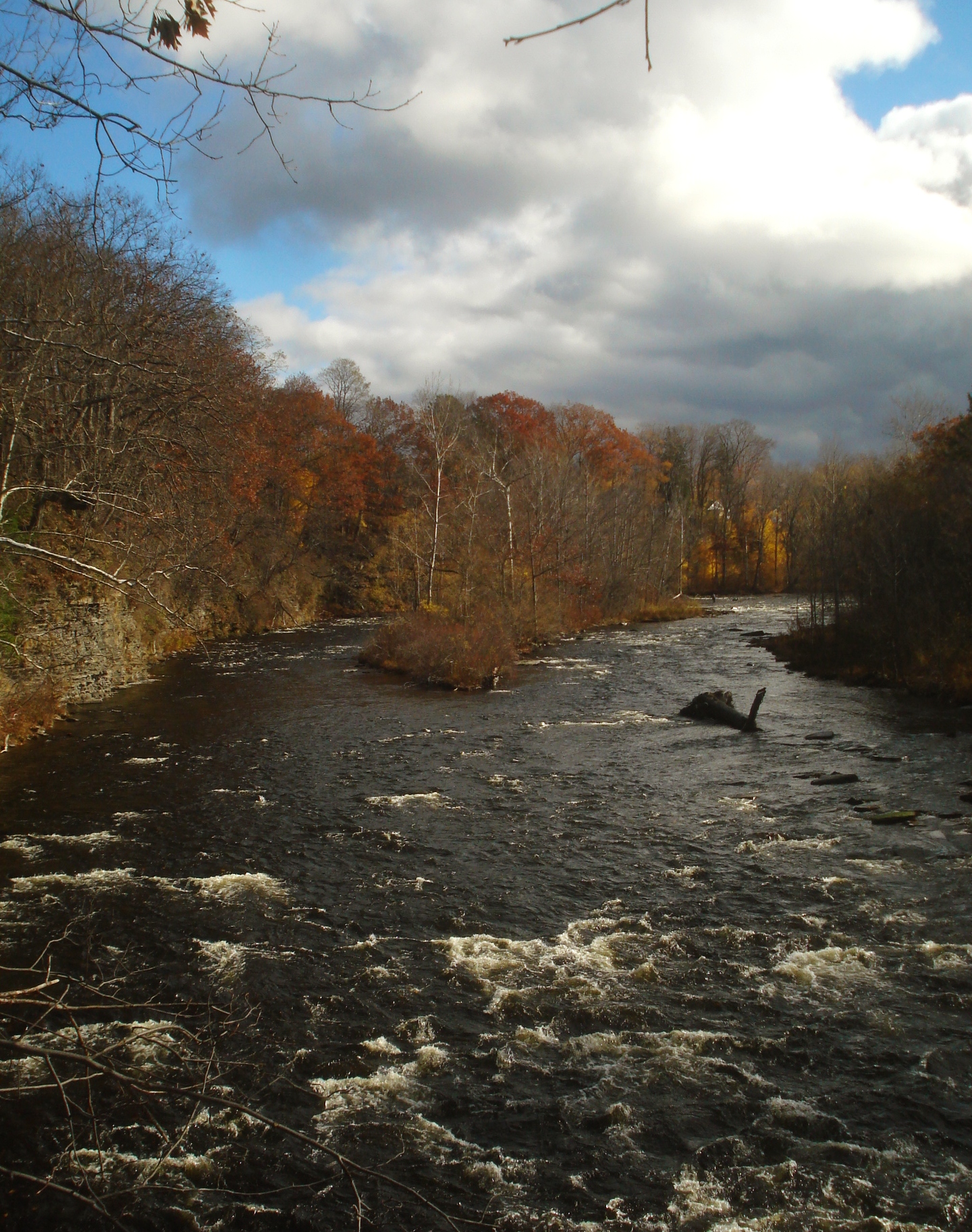
The New York State Department of Environmental Conservation classifies Sprite Creek as a Class C(T) stream, indicating it supports trout populations and is suitable for non-contact recreational activities. Paddling opportunities on Sprite Creek are limited and highly seasonal, typically viable only during spring runoff or following significant rainfall events. The creek's relatively small drainage area of approximately 10.1 square miles means water levels fluctuate dramatically. The most commonly discussed section runs from Stewart Landing to Youker Road, offering approximately 4.55 miles of intermediate to advanced whitewater when conditions permit. Paddlers should expect Class III+ rapids with potential Class V hazards during high water, requiring solid whitewater skills and appropriate safety equipment.
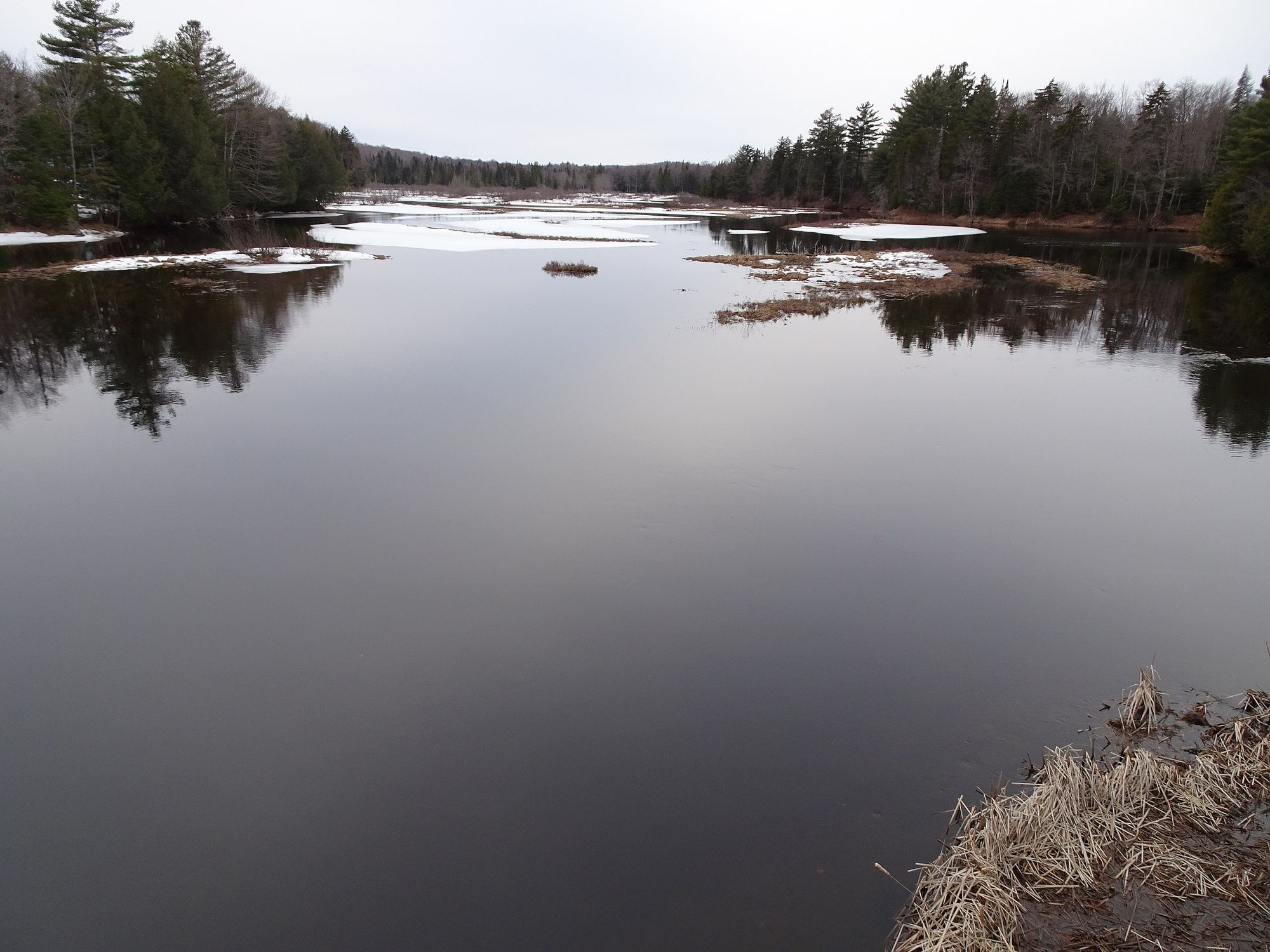
The creek flows through a landscape characteristic of the transition zone between the Adirondack foothills and the Mohawk Valley lowlands. Riparian vegetation includes mixed hardwood-conifer forests with hemlock, white pine, maple, and birch. The watershed supports brook trout populations, particularly in headwater tributaries, along with typical Adirondack fauna including white-tailed deer, beaver, and various waterfowl.
Access points are limited and often require permission from private landowners, as much of the creek corridor passes through private property. The hamlet of Ephratah in Fulton County provides the nearest services, located along NY Route 10. The creek's proximity to the historic Mohawk Valley corridor gives it connections to early settlement patterns and agricultural development in the region.
Safety considerations include cold water temperatures even during spring runoff, potential strainers from fallen trees in the narrow channel, and the remote nature of much of the creek's corridor. The New York State Department of Environmental Conservation stocks portions of the watershed with brown trout, making it subject to fishing regulations. Due to the creek's small size and technical nature, it is not suitable for multi-day trips and is best approached as a short, challenging day run by experienced paddlers during optimal water conditions.
Curated routes
Hand-picked by the PaddleWays team, with put-ins, take-outs, paddle times and the hazards along the way.
RouteClass II
RouteClass III–V
Hazards
No paddler has reported a hazard here yet, so these are the dams, falls and big rapids on our map. Hazards change with flows and storms, so check them before you launch.
From the community
Nobody has shared a trip on Sprite Creek yet. Paddle it, then tell the next paddler how it went.
See exactly where the public can get on and off the river. Launch points and boat ramps are paired with PaddleWays' public land data so you know where you can legally land.
Public shoreline
22%of the river's shoreline is public
Most of the riverbank is private. Launch, land and camp only at public access points.
Flows, weather and a route-by-route verdict, so you know which stretch of the Sprite Creek is worth paddling today.
No forecast data available.
Live flows, marked hazards and fresh trip reports from paddlers who were just on the water, all in one place.





Every user gets free access to launch points, boat ramps, and public property parcels.

Loading popular cities...
PaddleWays gives you everything you need to plan smarter, paddle better, and own every trip from first launch to takeout.