West Branch Delaware River
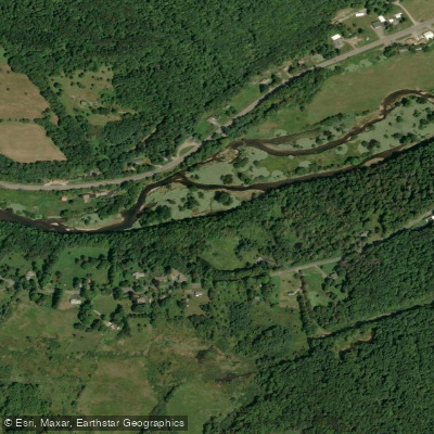
West Branch Delaware River
- Boat Ramps
- 9
- Access Points
- 21
- Campsites
- 2
The West Branch Delaware River originates in the Catskill Mountains of New York, flowing southwest for approximately 90 miles before joining the East Branch near Hancock, NY to form the main stem of the Delaware River. This cold, clear river is renowned for its excellent trout fishing and scenic paddling opportunities. The river begins as a modest trout stream, gathering flow as it passes through Cannonsville Reservoir. Below the dam at Stilesville, NY marks the start of the navigable section. From here, the river winds through a picturesque valley, alternating between gentle riffles, deep pools, and occasional Class I-II rapids. Major tributaries include Oquaga Creek and Trout Creek.
Paddlers can enjoy several distinct sections: - Stilesville to Hale Eddy (9.7 miles): A popular stretch for fishing and floating, with mostly flat water. - Hale Eddy to Hancock (25 miles): Scenic paddling with some gentle rapids, passing the 9.9 islands. - Delhi to Walton (18 miles): Class I-II whitewater, perfect for intermediate paddlers. The river's difficulty ranges from flatwater to Class II, suitable for beginners to intermediate paddlers. Cold water released from Cannonsville Reservoir maintains consistent flows year-round, but spring and fall offer the best combination of water levels and scenery.
The West Branch is famous for its wild trout population, particularly brown trout. Bald eagles, ospreys, and various waterfowl are common sights. The surrounding forests showcase a mix of hardwoods and evergreens, with stunning fall foliage displays.
Key access points include: - Stilesville: Just below Cannonsville Dam - Hale Eddy: Easily accessible from Route 17 - Deposit: Convenient town access - Hancock: Confluence with East Branch
The river played a significant role in the region's logging history and remains an important resource for local communities. Today, it's a vital part of the Upper Delaware Scenic and Recreational River system.
Paddlers should be aware of cold water conditions year-round and potential headwinds on flatter sections. New York fishing licenses are required for anglers. Multi-day trips are possible, with several campgrounds and access points along the route, making it ideal for weekend adventures or longer expeditions combining the West Branch with the main Delaware River.
Water access, boat ramps & amenities
Learn how to get on West Branch Delaware River. Uncover great paddling access points, boat ramps, and all the facilities you need for an unforgettable day on the water. Some locations shown may border or include private property. Always check property boundaries and applicable regulations before visiting. PaddleWays's Public & Private Land layer can help you plan your access with confidence.
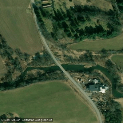
West Branch Delaware River Access
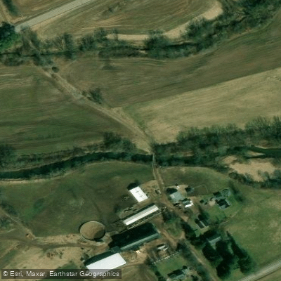
West Branch Delaware River Access
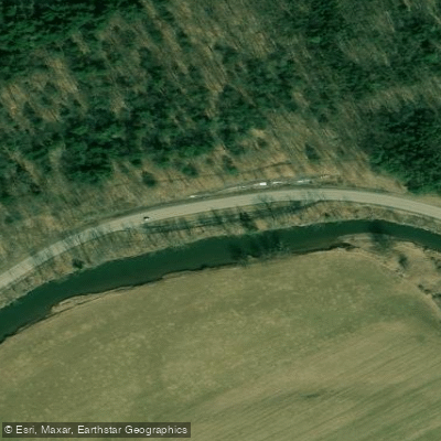
West Branch Delaware River Access
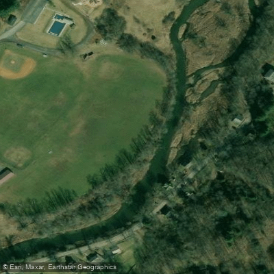
Delhi Community Park Access
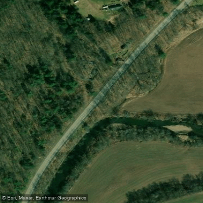
West Branch Delaware River Access
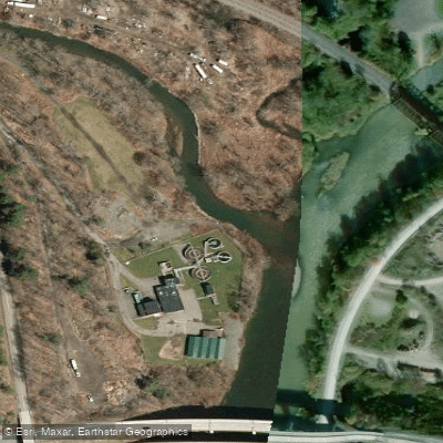
West Branch Delaware River Access
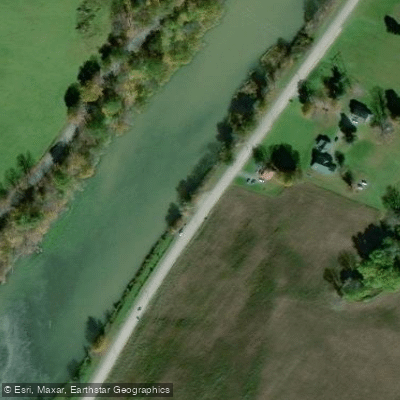
West Branch Delaware River Access
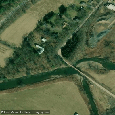
West Branch Delaware River Access
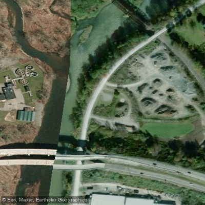
West Branch Delaware River Access
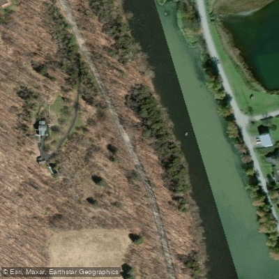
West Branch Delaware River Access
Paddle smarter with real-time insights
Whether you're en route and conditions shift or you're looking for the best spot based on current flows, we enable you to make informed decisions on the fly.








Find Places to Paddle

Over 400,000 Places to Paddle
Every user gets free access to launch points, boat ramps, and public property parcels.


Water and weather conditions (10 day forecast)
See the best times to paddle West Branch Delaware River and check the forecast before you go.
WEST BRANCH DELAWARE RIVER AT HOBART NY
All Flow Stations
Paddling near West Branch Delaware River

Delaware River
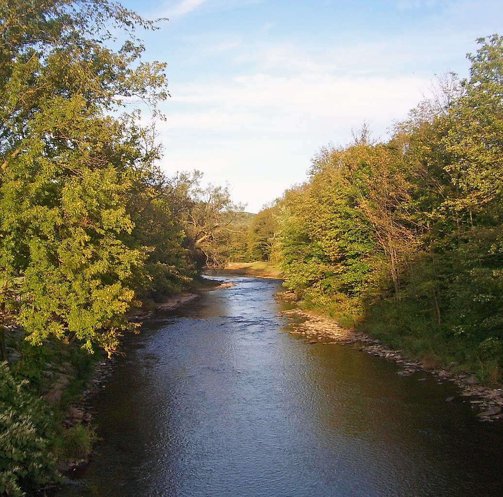
East Branch Delaware River

Susquehanna River
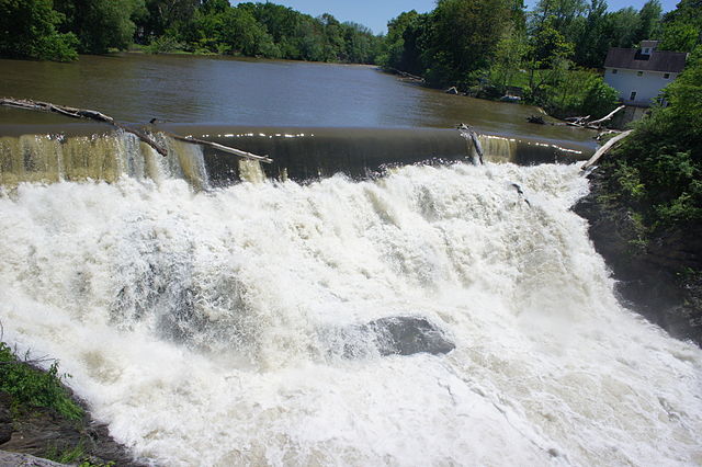
Beaver Kill
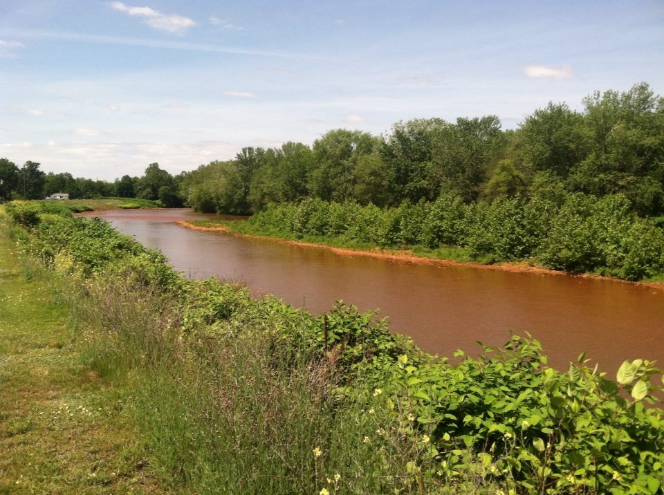
Lackawanna River
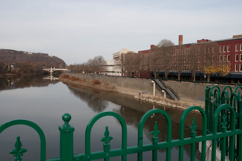
Chenango River
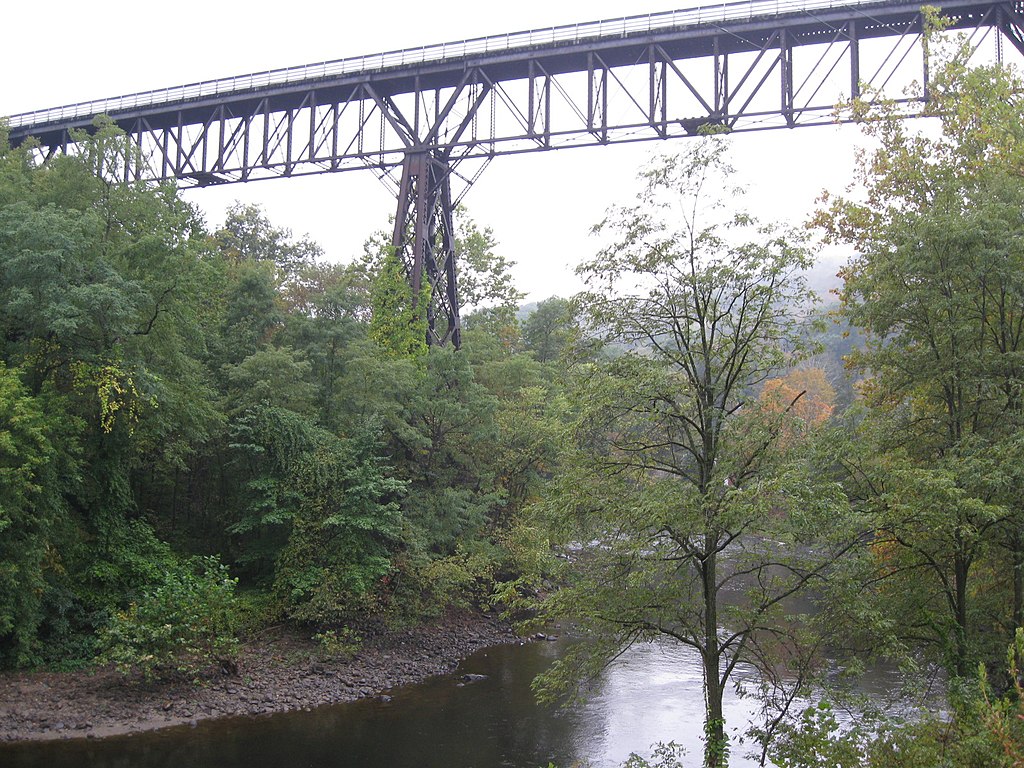
Rondout Creek
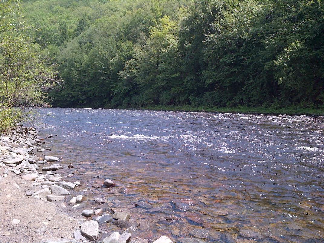
Lehigh River
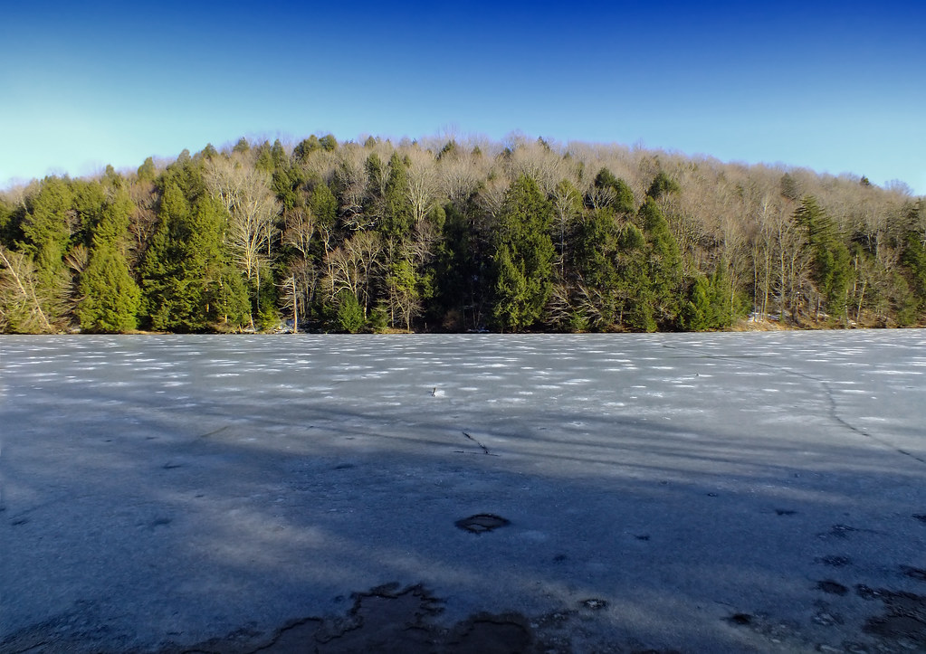
Lackawanna Lake
Explore New York waters
Top paddling waters
Popular Cities
Loading popular cities...
Explore near West Branch Delaware River
Access points
- Delaware River West Branch Boat Ramp
- Shehawken Boat Ramp
- Delaware River West Branch Boat Ramp
- River Road Boat Ramp
- Delaware River West Branch Boat Ramp
- Balls Eddy Boat Ramp
- Delaware River West Branch Boat Ramp
- Delaware River West Branch Boat Ramp
- Delaware River West Branch Boat Ramp
- West Branch Delaware River Access
- West Branch Delaware River Access
- West Branch Delaware River Access
- All 147 spots
Nearby waters
More in New York

Smarter Paddling Starts in the App.
Paddleways gives you everything you need to plan smarter, paddle better, and own every trip from first launch to takeout.