Rondout Creek
Rondout Creek
- Boat Ramps
- 2
- Access Points
- 7
- Campsites
- 4
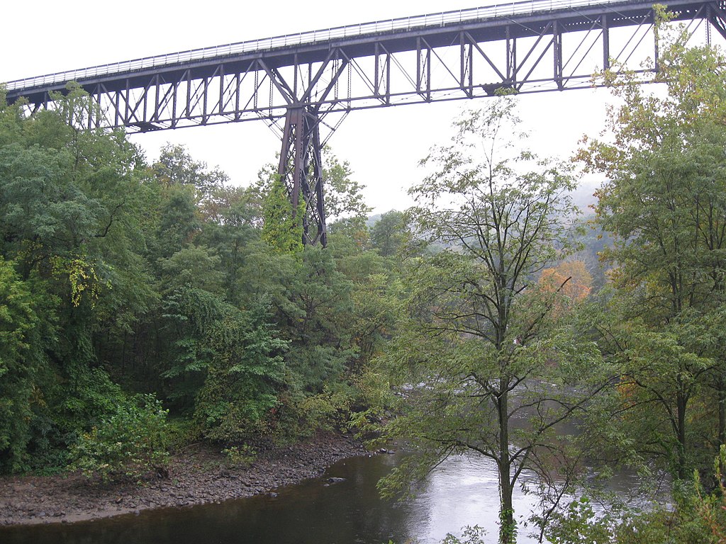
The Rondout Creek is a scenic 63-mile long tributary of the Hudson River, originating in the eastern Catskill Mountains of New York. It flows southeast from its headwaters on Rocky Mountain, through the Rondout Reservoir, and continues east between the Catskills and Shawangunk Ridge before joining the Hudson River at Kingston. Paddlers can enjoy a variety of experiences on the Rondout, from challenging whitewater in the upper reaches to peaceful flatwater near the mouth.
The creek offers several distinct paddling sections: The Upper Rondout (Sundown/Peekamoose Section) provides an exciting Class II-IV whitewater run through pristine mountain scenery. Below the Rondout Reservoir, the High Falls to Rosendale stretch offers Class III+ rapids popular with intermediate to advanced paddlers. The Lower Rondout, from High Falls to Kingston, features a mix of Class II-IV whitewater with excellent playboating opportunities. For a more relaxed experience, the flatwater section from Kingston's waterfront to the Eddyville Dam is perfect for beginners and families. This historic stretch passes through the Rondout-West Strand Historic District, offering glimpses of the creek's past as a major shipping route.
Water levels are typically best in spring and after heavy rains. Summer paddling is possible but may require higher skills in low water conditions. The creek supports diverse wildlife, including bald eagles, herons, and beavers. Key access points include Peekamoose, High Falls, Rosendale, and Kingston. The creek passes several notable landmarks, including the picturesque High Falls and remnants of the Delaware and Hudson Canal.
Paddlers should be aware of potential strainers and wood hazards, especially in the upper sections. The Rondout Reservoir release schedule can affect water levels. Some sections may require permits or have seasonal restrictions. For those seeking a multi-day adventure, it's possible to combine several sections for a longer trip, camping at designated sites along the way. However, careful planning is essential due to limited facilities between towns.
The Rondout Creek offers a rich paddling experience, blending natural beauty with historical significance, and catering to a wide range of skill levels across its varied sections.
Water access, boat ramps & amenities
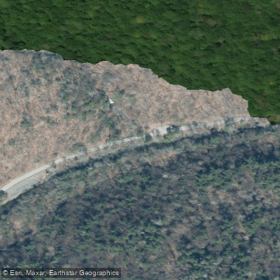
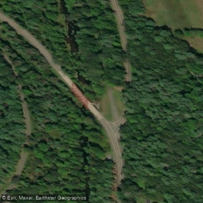
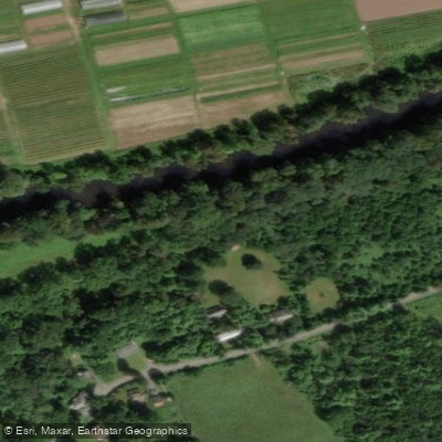
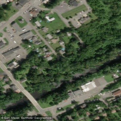
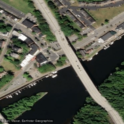
Learn how to get on Rondout Creek. Uncover great paddling access points, boat ramps, and all the facilities you need for an unforgettable day on the water. Some locations shown may border or include private property. Always check property boundaries and applicable regulations before visiting. PaddleWays's Public & Private Land layer can help you plan your access with confidence.
Paddle smarter with real-time insights
Whether you're en route and conditions shift or you're looking for the best spot based on current flows, we enable you to make informed decisions on the fly.








Find Places to Paddle

Over 400,000 Places to Paddle
Every user gets free access to launch points, boat ramps, and public property parcels.


Water and weather conditions (10 day forecast)
See the best times to paddle Rondout Creek and check the forecast before you go.
RONDOUT CREEK NEAR LOWES CORNERS NY
All Flow Stations
Paddling near Rondout Creek

Hudson River
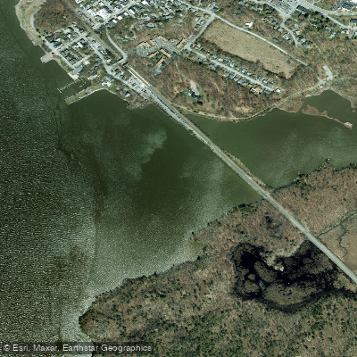
Foundry Cove
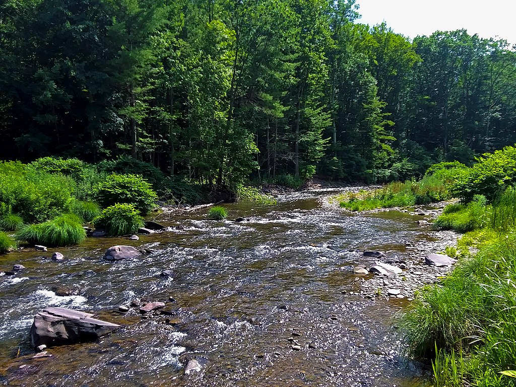
Esopus Creek
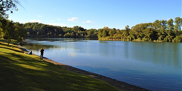
Schoharie Creek
Worlds End
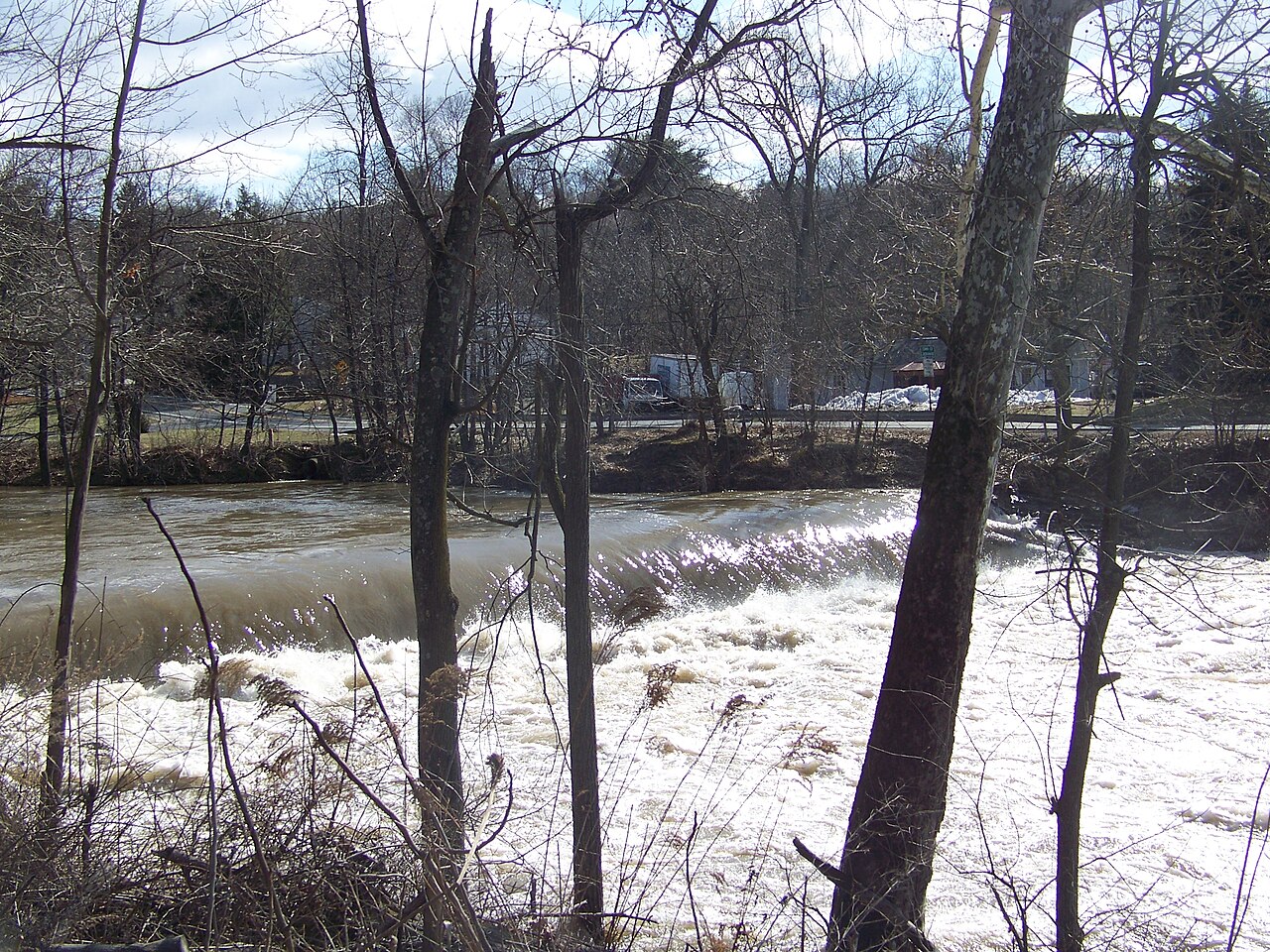
Wappinger Creek
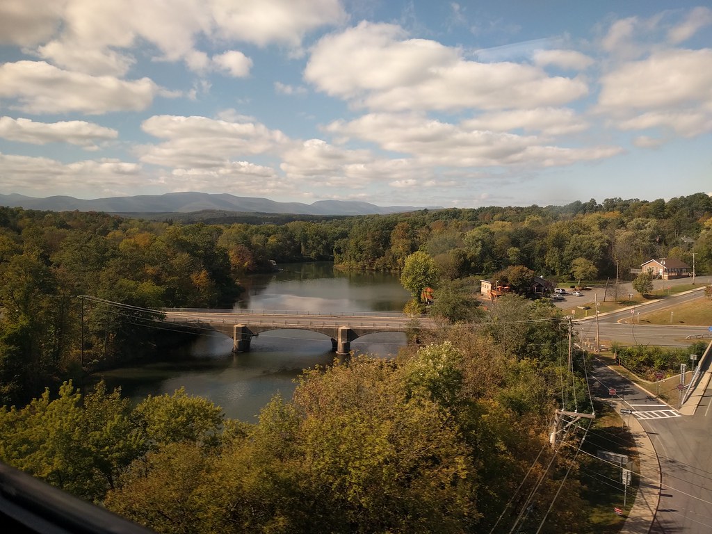
Catskill Creek
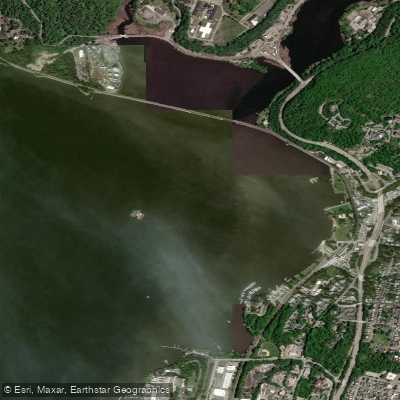
Peekskill Bay

Housatonic River
Explore New York waters
Top paddling waters
Popular Cities
Loading popular cities...
Explore near Rondout Creek
Access points
Nearby waters
More in New York

Smarter Paddling Starts in the App.
Paddleways gives you everything you need to plan smarter, paddle better, and own every trip from first launch to takeout.