Curated by PaddleWays
RouteClass I–II
- Distance
- 9 mi
- Paddle time
- ~3 hrs
- Put-in → take-out
- Jerden Falls Access → Kimball Mills Access
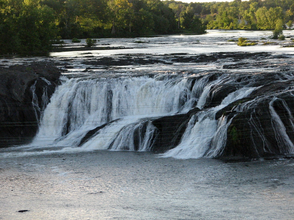
Small 2-foot ledge drop in right channel
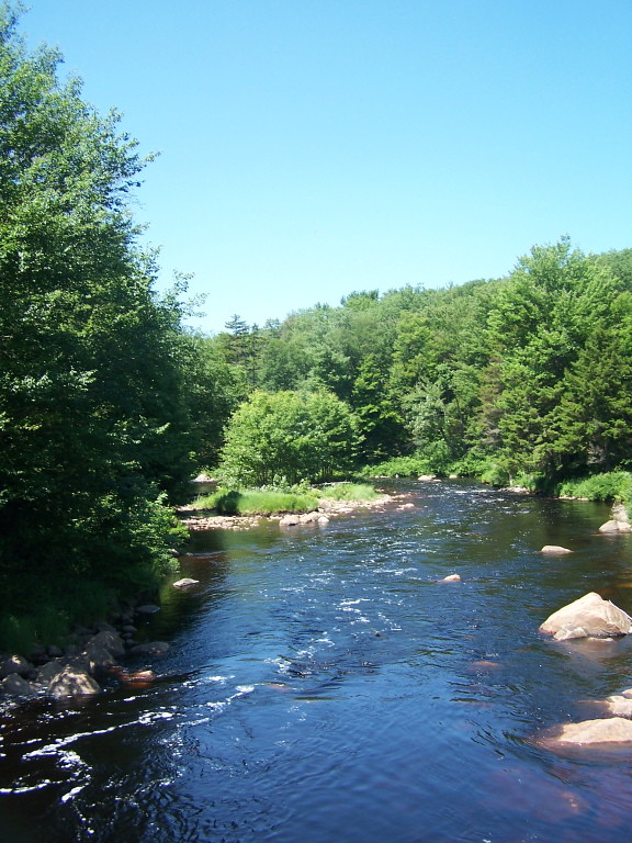
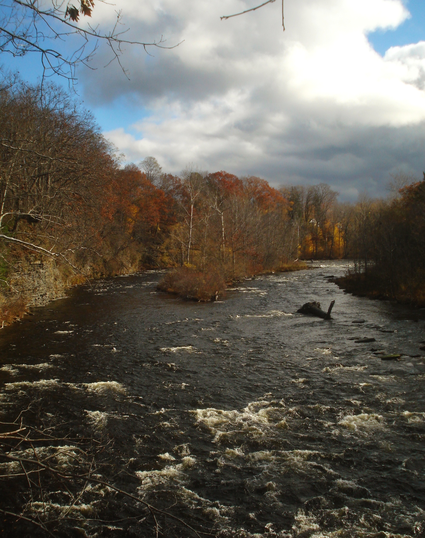
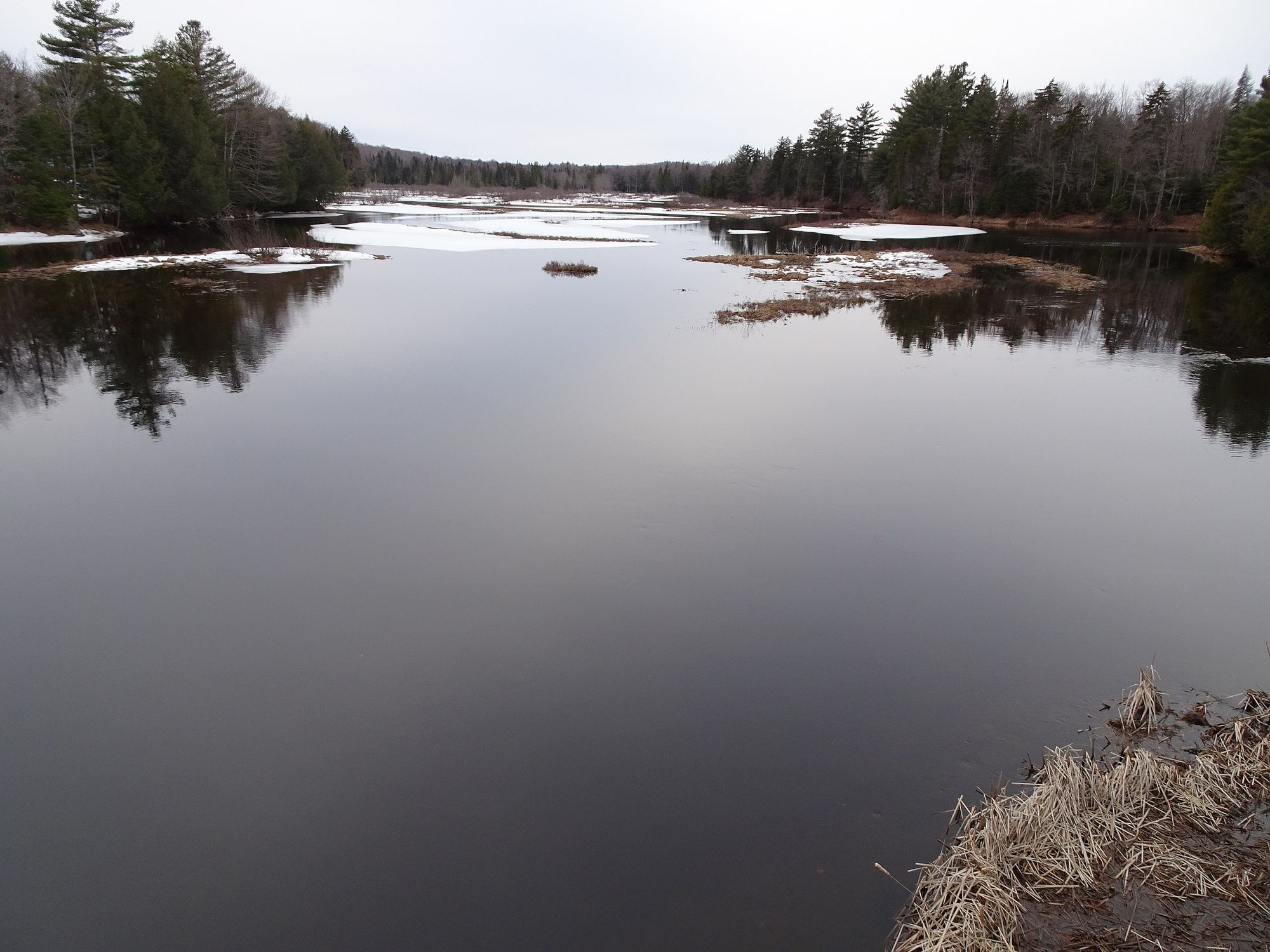
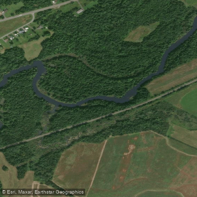
The West Branch Oswegatchie River is a scenic waterway located in northern New York state, primarily flowing through Lewis and St. Lawrence counties. Originating in the western Adirondacks, it flows generally northward for approximately 40 miles before joining the main stem of the Oswegatchie River near Gouverneur. This river offers diverse paddling opportunities, ranging from peaceful flatwater sections to challenging whitewater.
The upper reaches near Long Pond provide a serene 6-mile flatwater paddle through the remote Five Ponds Wilderness Area, ideal for beginners and wildlife enthusiasts. As the river descends, it becomes more dynamic, with notable sections including the challenging Class V+ Bisha Falls to Jerden Falls stretch and the varied Class I-V run from Fullerville to Oswegatchie. Paddlers can expect difficulty levels ranging from easy flatwater to expert-level whitewater, requiring appropriate skills and equipment for each section.
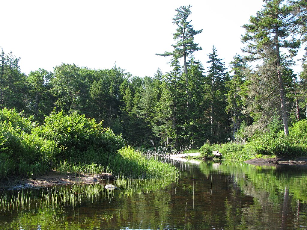
The river is generally best paddled in spring and early summer when water levels are optimal, though some sections remain navigable year-round. The West Branch Oswegatchie flows through pristine Adirondack forests, providing habitat for diverse wildlife including beavers, otters, and various bird species. Paddlers may encounter remnants of the area's logging history, such as old dams and stumps in places like Chaumont Pond.
Key landmarks include Jerden Falls, Cotton Rapids near South Edwards, and the series of falls near the lower bridge on Long Pond Road. Popular access points include Long Pond, Jerden Falls Road bridge, South Edwards, and Fullerville, with nearby towns like Diana and Edwards serving as bases for river trips.
The river holds historical significance as a transportation route for early settlers and loggers. Today, it's valued for its recreational opportunities and as a vital part of the Adirondack ecosystem. Safety considerations include proper assessment of rapids, especially in high-difficulty sections, and awareness of changing water levels. Some areas may require portaging around hazards or low bridges.
For those seeking multi-day adventures, the river can be combined with exploration of nearby waterways in the Five Ponds Wilderness Area, offering extended backcountry paddling experiences through this pristine Adirondack landscape.
Curated routes
Hand-picked by the PaddleWays team, with put-ins, take-outs, paddle times and the hazards along the way.
RouteClass I–II
Hazards
No paddler has reported a hazard here yet, so these are the dams, falls and big rapids on our map. Hazards change with flows and storms, so check them before you launch.
From the community
Nobody has shared a trip on West Branch Oswegatchie River yet. Paddle it, then tell the next paddler how it went.
See exactly where the public can get on and off the river. Launch points and boat ramps are paired with PaddleWays' public land data so you know where you can legally land.
Public shoreline
36%of the river's shoreline is public
Most of the riverbank is private. Launch, land and camp only at public access points.
Flows, weather and a route-by-route verdict, so you know which stretch of the West Branch Oswegatchie River is worth paddling today.
Live flows, marked hazards and fresh trip reports from paddlers who were just on the water, all in one place.





Every user gets free access to launch points, boat ramps, and public property parcels.

Loading popular cities...
PaddleWays gives you everything you need to plan smarter, paddle better, and own every trip from first launch to takeout.