Davidson River
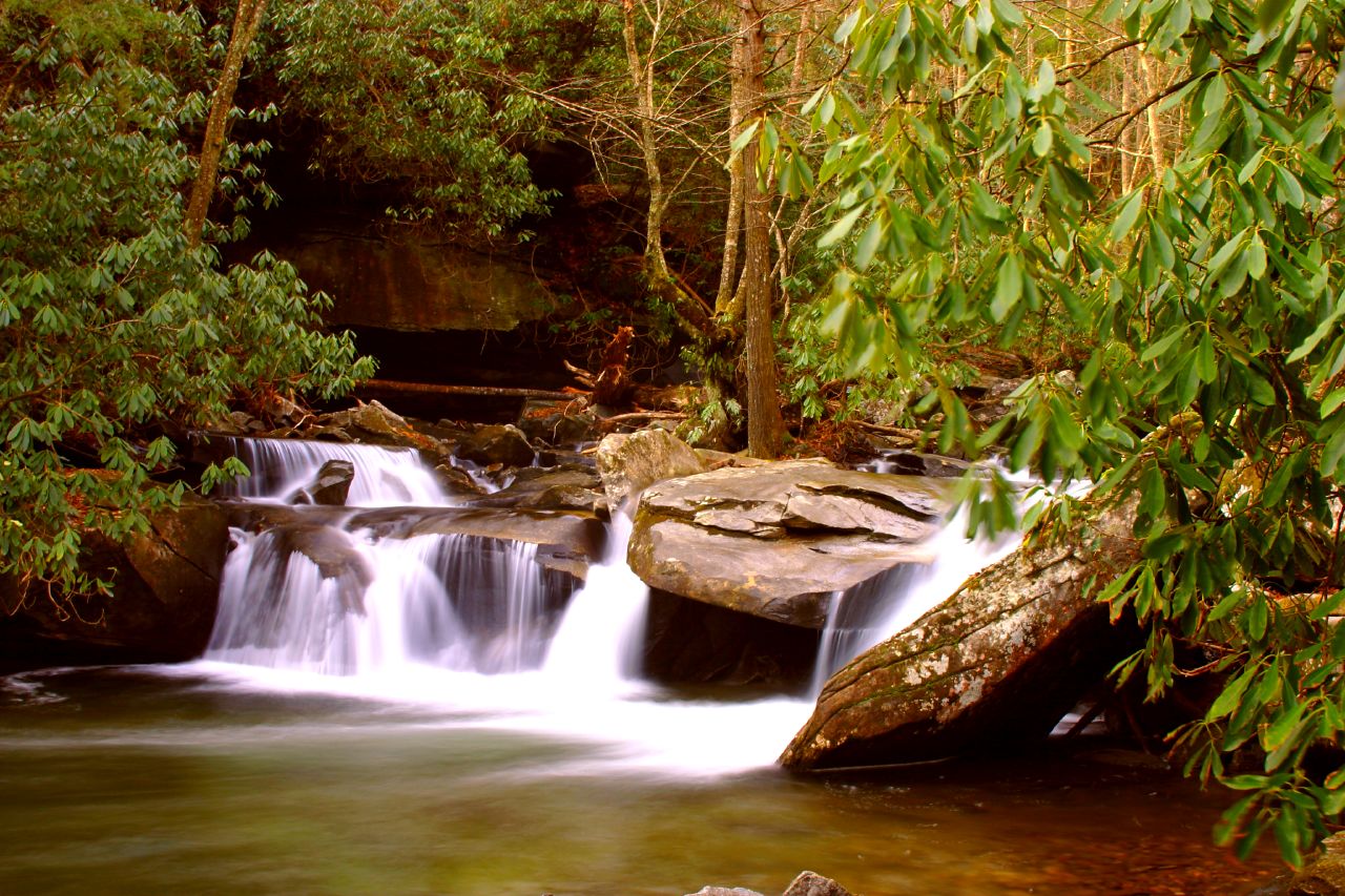
Davidson River
- Boat Ramps
- 0
- Access Points
- 9
- Campsites
- 11
The Davidson River is a scenic waterway located in western North Carolina's Pisgah National Forest. Originating high in the Blue Ridge Mountains near the Blue Ridge Parkway, it flows northward for approximately 15 miles before joining the French Broad River near the town of Brevard. The river's watershed encompasses about 40 square miles of forested mountain terrain.
Paddlers can enjoy a variety of experiences on the Davidson, from challenging whitewater to leisurely floats. The upper section, from Cove Creek to the State Fish Hatchery, offers Class III-IV rapids best suited for experienced kayakers. Below the hatchery, a popular 3.5-mile Class III+(IV) stretch provides exciting whitewater action, including the notable Whale's Back rapid. For less experienced paddlers, a 5-mile Class I-II section from Forest Service Road 475 to Sycamore Flats offers a more relaxed journey. The river's difficulty ranges from Class I to IV, requiring varying levels of skill. While some sections are suitable for beginners, others demand advanced whitewater expertise. Water levels are generally most favorable for paddling in spring and after summer rains, though the river is often runnable year-round.
The Davidson flows through a lush ecosystem home to diverse flora and fauna. The river and its banks support a thriving trout population, making it a renowned fly-fishing destination. Paddlers may spot wildlife such as black bears, white-tailed deer, and various bird species.
Key landmarks include the Pisgah Center for Wildlife Education, Sycamore Flats Recreation Area, and the Davidson River Campground. The river is easily accessible from the town of Brevard, with numerous put-in and take-out points along Forest Service roads.
Historically, the Davidson River valley was home to Cherokee communities before European settlement. Today, it plays a vital role in the region's outdoor recreation economy.
Safety considerations include fluctuating water levels, submerged hazards, and the presence of low-head dams. Paddlers should check current conditions and be aware of their skill limitations. Some sections may require portaging around obstacles. While primarily used for day trips, the Davidson's proximity to campgrounds and its connection to the French Broad River system offer possibilities for multi-day paddling adventures in the broader area.
Water access, boat ramps & amenities
Learn how to get on Davidson River. Uncover great paddling access points, boat ramps, and all the facilities you need for an unforgettable day on the water. Some locations shown may border or include private property. Always check property boundaries and applicable regulations before visiting. PaddleWays's Public & Private Land layer can help you plan your access with confidence.
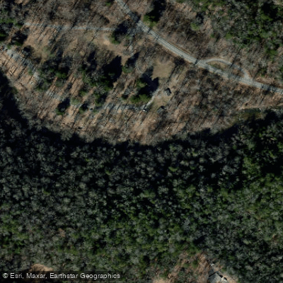
Sycamore Flats Access
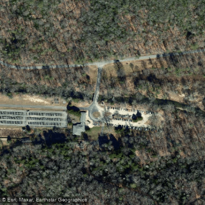
Pisgah Center For Wildlife Education Access
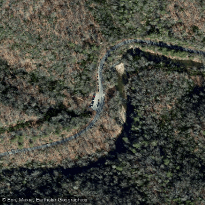
Looking Glass Trail Access
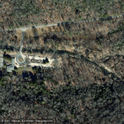
Cat Gap Look Trail Access
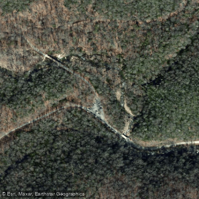
Lanning Ridge Access
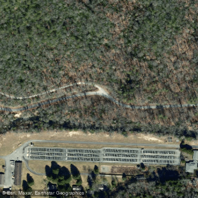
Fish Hatchery Road Access
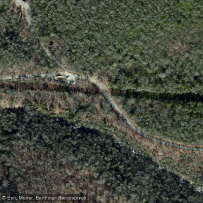
Davidson River Trail 650 Access
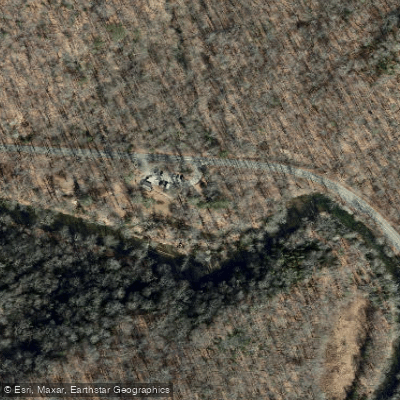
Coontree Picnic Area Access
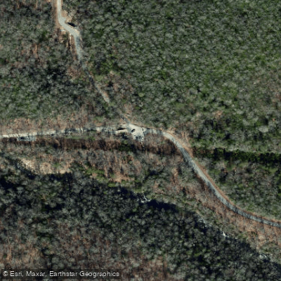
Cove Creek Group Campground Access
Paddle smarter with real-time insights
Whether you're en route and conditions shift or you're looking for the best spot based on current flows, we enable you to make informed decisions on the fly.








Find Places to Paddle

Over 400,000 Places to Paddle
Every user gets free access to launch points, boat ramps, and public property parcels.


Water and weather conditions (10 day forecast)
See the best times to paddle Davidson River and check the forecast before you go.
DAVIDSON RIVER NEAR BREVARD, NC
Paddling near Davidson River

French Broad River
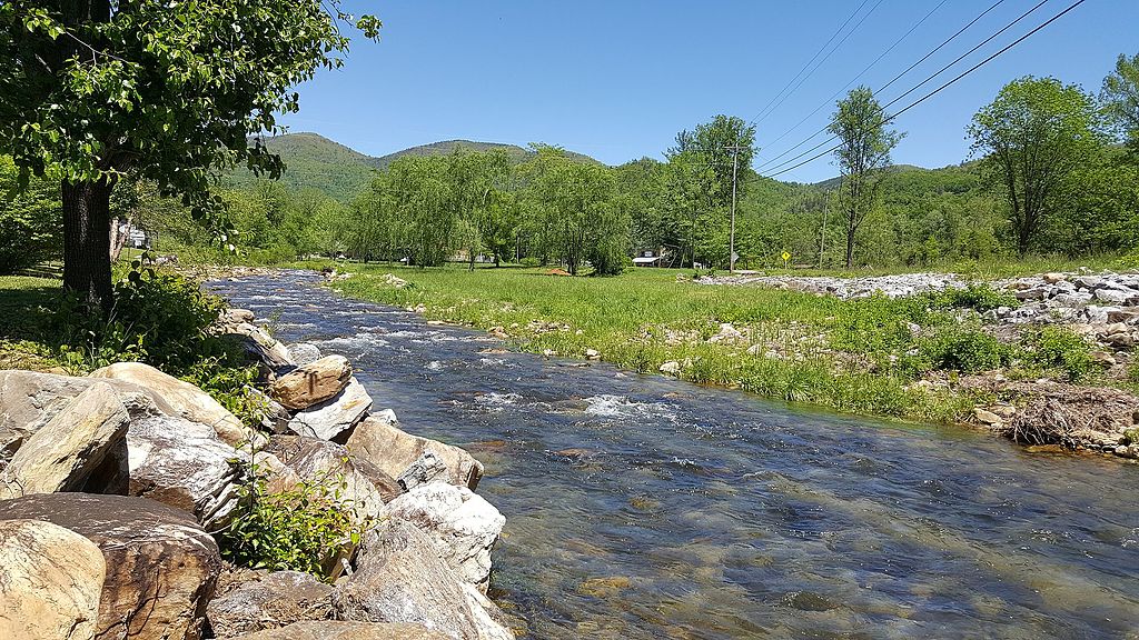
Catawba River

Broad River
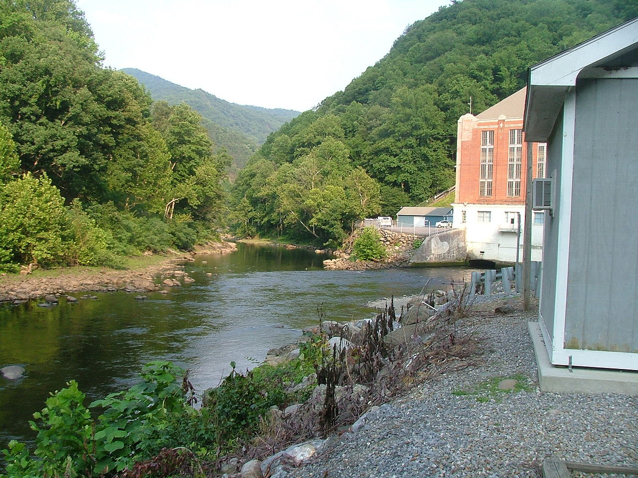
Pigeon River
Tuckasegee River
Douglas Lake

Saluda River

Lake Lure
Lake James
Explore North Carolina waters
Top paddling waters
Popular Cities
Loading popular cities...
Explore near Davidson River
Access points
- Sycamore Flats Access
- Pisgah Center For Wildlife Education Access
- Looking Glass Trail Access
- Cat Gap Look Trail Access
- Lanning Ridge Access
- Fish Hatchery Road Access
- Davidson River Trail 650 Access
- Coontree Picnic Area Access
- Cove Creek Group Campground Access
- Davidson River Bridge
- Davidson River Bridge
- Davidson River Bridge
- All 85 spots
Nearby waters
More in North Carolina

Smarter Paddling Starts in the App.
Paddleways gives you everything you need to plan smarter, paddle better, and own every trip from first launch to takeout.