Saluda River

Saluda River
- Boat Ramps
- 10
- Access Points
- 16
- Campsites
- 3
The Saluda River is a major waterway in South Carolina, originating in the Blue Ridge Mountains near the North Carolina border and flowing southeast for approximately 200 miles before joining the Broad River to form the Congaree River in Columbia. Its main tributaries include the North Saluda, South Saluda, and Middle Saluda rivers. The Saluda offers diverse paddling opportunities across its length. The Upper Saluda River Blueway provides over 70 miles of beginner-friendly waters and nearly 50 miles of more advanced paddling. Sections range from calm flatwater to challenging whitewater, with difficulty levels spanning Class I to Class V rapids.
The river's upper reaches in the mountains feature technical whitewater runs like the Class III-V Jones Gap section. The middle portions transition to mostly Class I-II waters with occasional Class III rapids. The Lower Saluda below Lake Murray Dam offers a mix of Class I-V rapids over a scenic 10-mile stretch. Spring and fall are ideal paddling seasons, with consistent water levels and moderate temperatures. Summer can be suitable for flatwater sections, while winter paddling requires cold water gear. Water releases from dams can affect conditions year-round.
The Saluda's banks host diverse flora and fauna, including great blue herons, bald eagles, and river otters. Paddlers may spot granite outcrops, shoals, and occasional waterfalls along the route. Key landmarks include Jones Gap State Park, Lake Greenwood, Lake Murray, and the Saluda Shoals near Columbia. Major access points are found near Greenville, Piedmont, Pelzer, Ware Shoals, and Columbia.
Historically, the Saluda powered numerous textile mills. Today, it's valued for recreation, hydropower, and as a drinking water source. The Lower Saluda is designated as a State Scenic River. Safety considerations include checking dam release schedules, being aware of rapidly changing water levels, and properly scouting unfamiliar rapids. Some sections require permits or have restrictions on access. Multi-day trips are possible on the Upper and Middle Saluda, with primitive camping available in certain areas. The Lower Saluda offers shorter day-trip options near Columbia.
Overall, the Saluda River provides a range of paddling experiences suitable for beginners to experts, showcasing South Carolina's diverse landscapes from the mountains to the midlands.
Water access, boat ramps & amenities
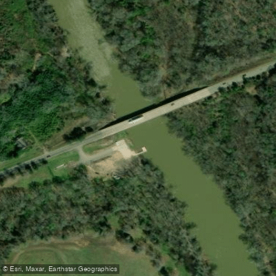
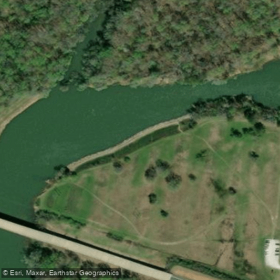
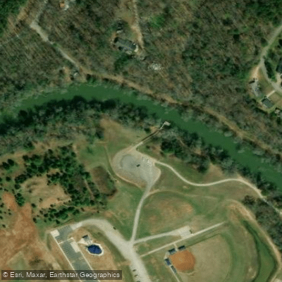
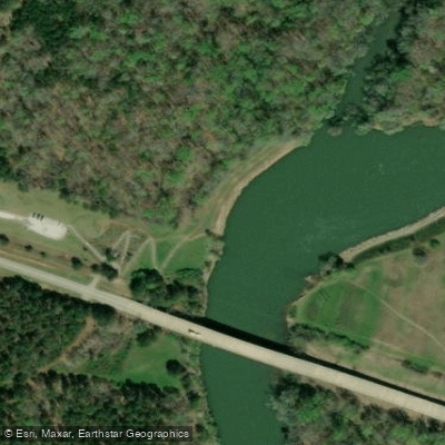
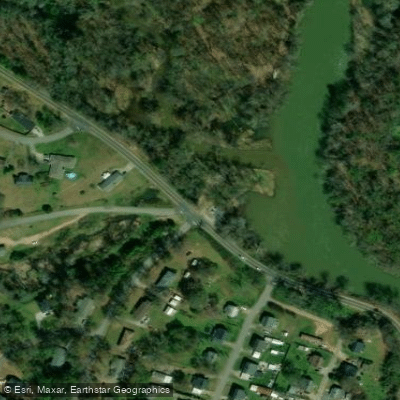
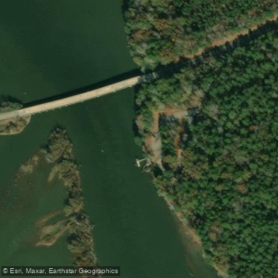
Learn how to get on Saluda River. Uncover great paddling access points, boat ramps, and all the facilities you need for an unforgettable day on the water. Some locations shown may border or include private property. Always check property boundaries and applicable regulations before visiting. PaddleWays's Public & Private Land layer can help you plan your access with confidence.
Paddle smarter with real-time insights
Whether you're en route and conditions shift or you're looking for the best spot based on current flows, we enable you to make informed decisions on the fly.








Find Places to Paddle

Over 400,000 Places to Paddle
Every user gets free access to launch points, boat ramps, and public property parcels.


Water and weather conditions (10 day forecast)
See the best times to paddle Saluda River and check the forecast before you go.
SALUDA RIVER NEAR GREENVILLE, SC
All Flow Stations
Paddling near Saluda River
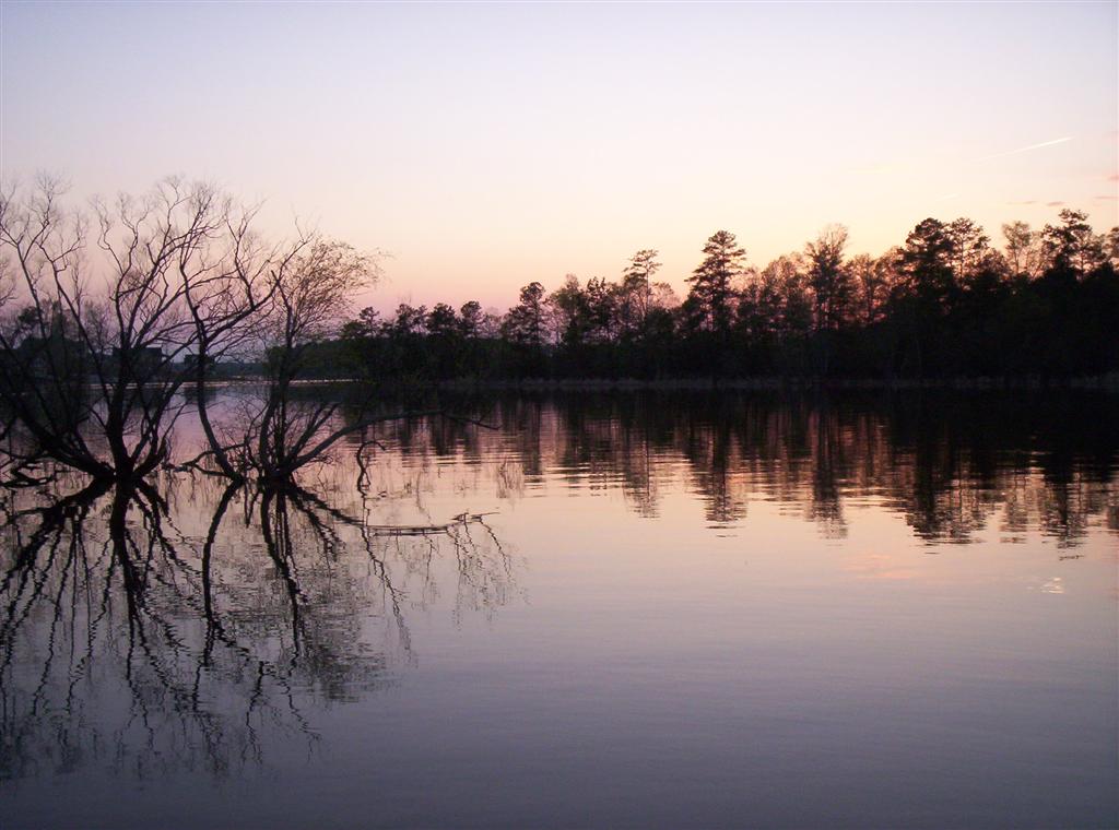
Lake Murray

Savannah River

Broad River
Lake Greenwood
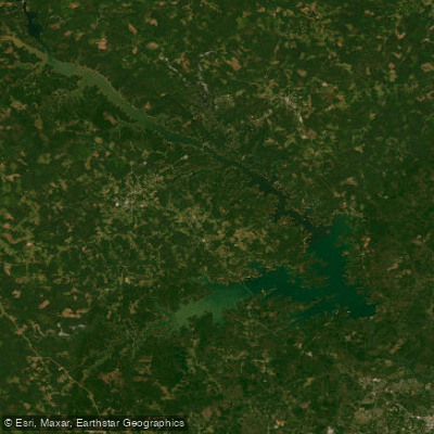
J. Strom Thurmond Reservoir
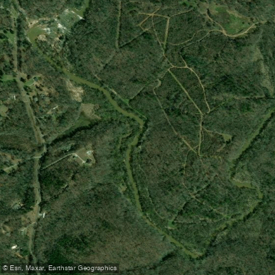
Reedy River
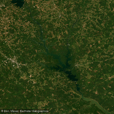
Richard B Russell Lake
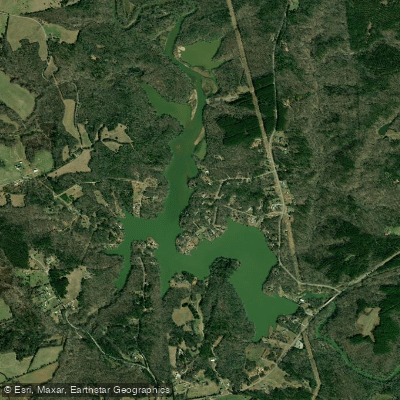
Boyd Millpond
Hartwell Lake
Explore South Carolina waters
Top paddling waters
Popular Cities
Loading popular cities...
Explore near Saluda River
Access points
- Lower Pelzer Boat Ramp
- Higgins Bridge Boat Ramp
- Dr James A Timmerman Boat Ramp
- Ware Shoals Irvin Pitts Park Boat Ramp
- Saluda Shoals Lower Boat Ramp
- Saluda Dam Road Boat Ramp
- Hope Ferry Boat Ramp
- Saluda Shoals Park Boat Ramp
- Irvin Pitts Park Boat Ramp
- Kempsons Bridge Boat Ramp
- Cooley Bridge Access
- Buzzard's Roost East Bank Access
- All 22 spots
Nearby waters
More in South Carolina

Smarter Paddling Starts in the App.
Paddleways gives you everything you need to plan smarter, paddle better, and own every trip from first launch to takeout.