Lake Tillery
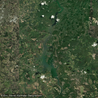
Lake Tillery
- Boat Ramps
- 5
- Access Points
- 6
- Campsites
- 15
Lake Tillery is a 5,000-acre reservoir located in central North Carolina, part of the Yadkin-Pee Dee River system. The lake stretches for about 15 miles with 117 miles of shoreline and depths reaching 200 feet in places. Paddlers will find a mix of forested shorelines and occasional residential areas.
Access is available via several public boat ramps, including a newly constructed access point at Clarks Creek just below Tillery Dam. The lake's water levels and flow are controlled by dam releases from the Tillery Hydro Plant upstream. Duke Energy provides scheduled recreational releases on select Saturdays from May through early September, offering reliable flows between 800-1000 cubic feet per second that are suitable for beginner to intermediate paddlers.
Wildlife viewing opportunities abound, with paddlers likely to spot bald eagles, great blue herons, egrets, and various waterfowl. The surrounding landscape features mixed pine and hardwood forests typical of the Uwharrie region.
For a more secluded paddling experience, consider exploring Falls Reservoir, the narrow 2-mile stretch between Narrows Dam and Falls Dam at the northern end of Lake Tillery. This lesser-known area offers scenic rock formations, small waterfalls, and excellent fishing.
When planning a trip, be sure to check Duke Energy's website for the dam release schedule. Non-release days provide calmer conditions ideal for a leisurely paddle. Paddlers should always be aware of changing water conditions and potential hazards associated with dam-controlled waterways.
The Pee Dee National Wildlife Refuge borders part of the lake, offering additional opportunities for wildlife observation. Overall, Lake Tillery provides a diverse paddling experience, from placid coves to more dynamic flows, set against the backdrop of central North Carolina's natural beauty.
Water access, boat ramps & amenities
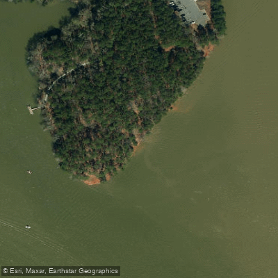
Learn how to get on Lake Tillery. Uncover great paddling access points, boat ramps, and all the facilities you need for an unforgettable day on the water. Some locations shown may border or include private property. Always check property boundaries and applicable regulations before visiting. PaddleWays's Public & Private Land layer can help you plan your access with confidence.
Paddle smarter with real-time insights
Whether you're en route and conditions shift or you're looking for the best spot based on current flows, we enable you to make informed decisions on the fly.








Find Places to Paddle

Over 400,000 Places to Paddle
Every user gets free access to launch points, boat ramps, and public property parcels.


Water and weather conditions (10 day forecast)
See the best times to paddle Lake Tillery and check the forecast before you go.
No forecast data available.
Paddling near Lake Tillery
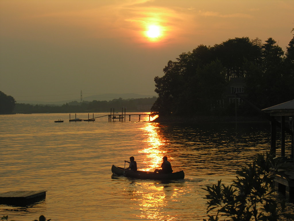
Lake Norman
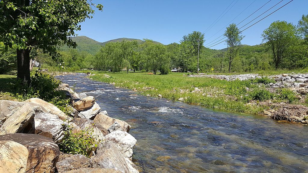
Catawba River
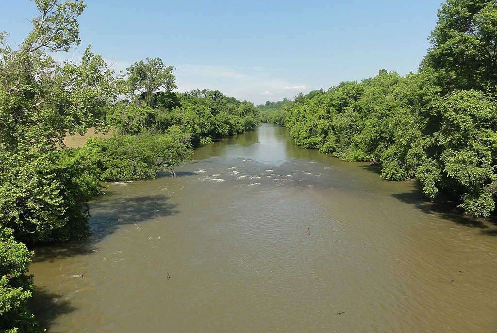
Yadkin River
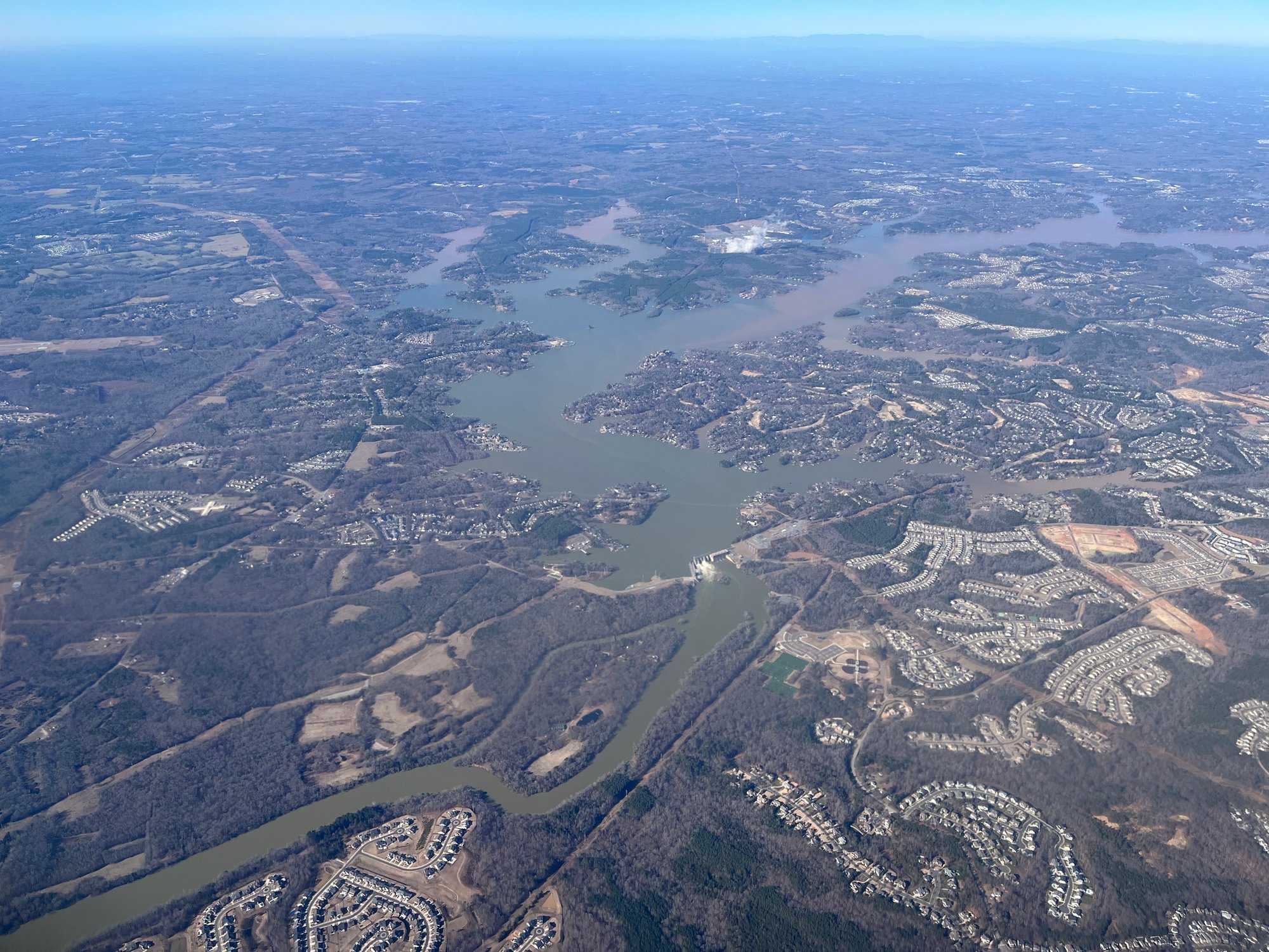
Lake Wylie
Mountain Island Lake
Rocky River
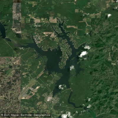
Badin Lake
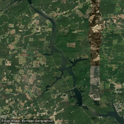
Tuckertown Reservoir
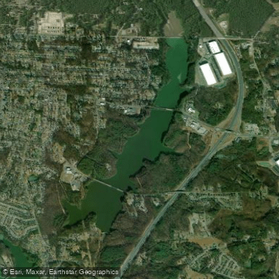
Lake Fisher
Explore North Carolina waters
Top paddling waters
Popular Cities
Loading popular cities...
Explore near Lake Tillery
Access points
Nearby waters
More in North Carolina

Smarter Paddling Starts in the App.
Paddleways gives you everything you need to plan smarter, paddle better, and own every trip from first launch to takeout.