Badin Lake
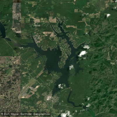
Badin Lake
- Boat Ramps
- 6
- Access Points
- 8
- Campsites
- 13
Badin Lake, created by damming the Yadkin-Pee Dee River, offers 5,350 acres of water and 115 miles of shoreline for paddling in North Carolina's Uwharrie Lakes Region. The lake is framed by the Uwharrie Mountains to the east and Morrow Mountains to the west, providing a scenic backdrop unique to the North Carolina piedmont.
Several boat ramps provide access, including Cove Boat Ramp, Circle Drive Boat Ramp, and Whip-o-Will Boat Ramp. The lake's calm waters and incredible views make it ideal for paddling, with minimal development along much of the shoreline. Paddlers can explore islands, rock gardens, and even a waterfall.
Wildlife sightings may include bald eagles, turtles, great blue herons, and various snake species. The lake supports largemouth bass, smallmouth bass, spotted bass, striped bass, and walleye, attracting anglers.
The Badin Lake Recreation Area offers amenities such as swimming areas, picnic facilities, and camping opportunities. Primitive camping is also allowed throughout the bordering Uwharrie National Forest. Hiking, mountain biking, and equestrian trails surround the lake, providing additional recreational options.
Water temperatures and conditions can vary significantly with the seasons, so paddlers should prepare accordingly. While powerboats are present on Badin Lake, they tend to congregate in certain areas, leaving much of the lake peaceful for paddlers.
The lake's maximum depth reaches 190 feet, with an average depth of 90 feet. This varied underwater topography, combined with the surrounding forested shoreline, creates diverse paddling experiences from sheltered coves to more open water.
Paddlers should be aware of potential hazards such as submerged rocks and fluctuating water levels near dams. It's advisable to check current conditions and any specific regulations before planning a trip on Badin Lake.
Water access, boat ramps & amenities
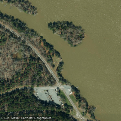
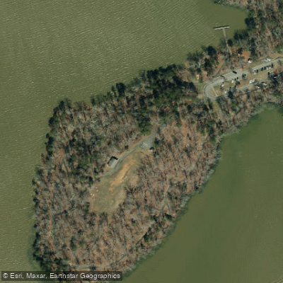
Learn how to get on Badin Lake. Uncover great paddling access points, boat ramps, and all the facilities you need for an unforgettable day on the water. Some locations shown may border or include private property. Always check property boundaries and applicable regulations before visiting. PaddleWays's Public & Private Land layer can help you plan your access with confidence.
Paddle smarter with real-time insights
Whether you're en route and conditions shift or you're looking for the best spot based on current flows, we enable you to make informed decisions on the fly.








Find Places to Paddle

Over 400,000 Places to Paddle
Every user gets free access to launch points, boat ramps, and public property parcels.


Water and weather conditions (10 day forecast)
See the best times to paddle Badin Lake and check the forecast before you go.
No forecast data available.
Paddling near Badin Lake
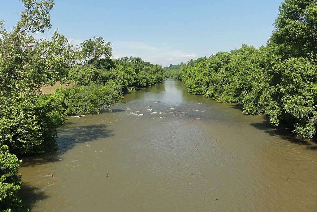
Yadkin River
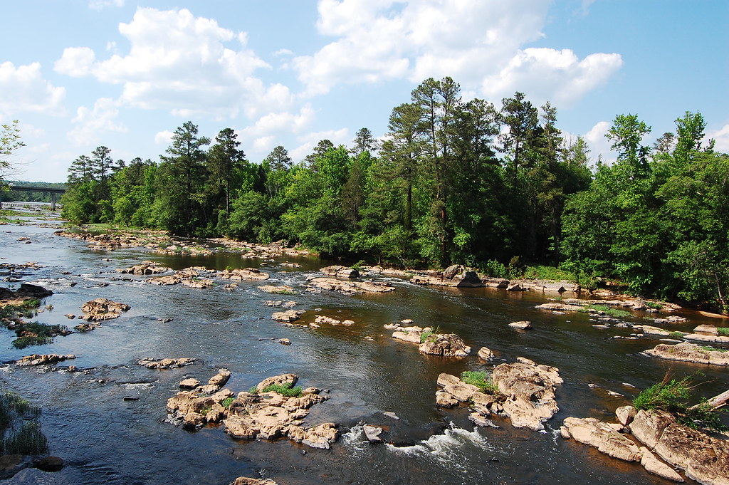
Haw River
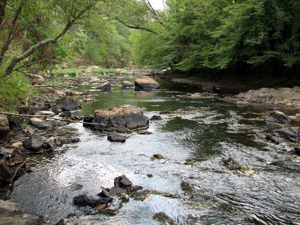
Eno River
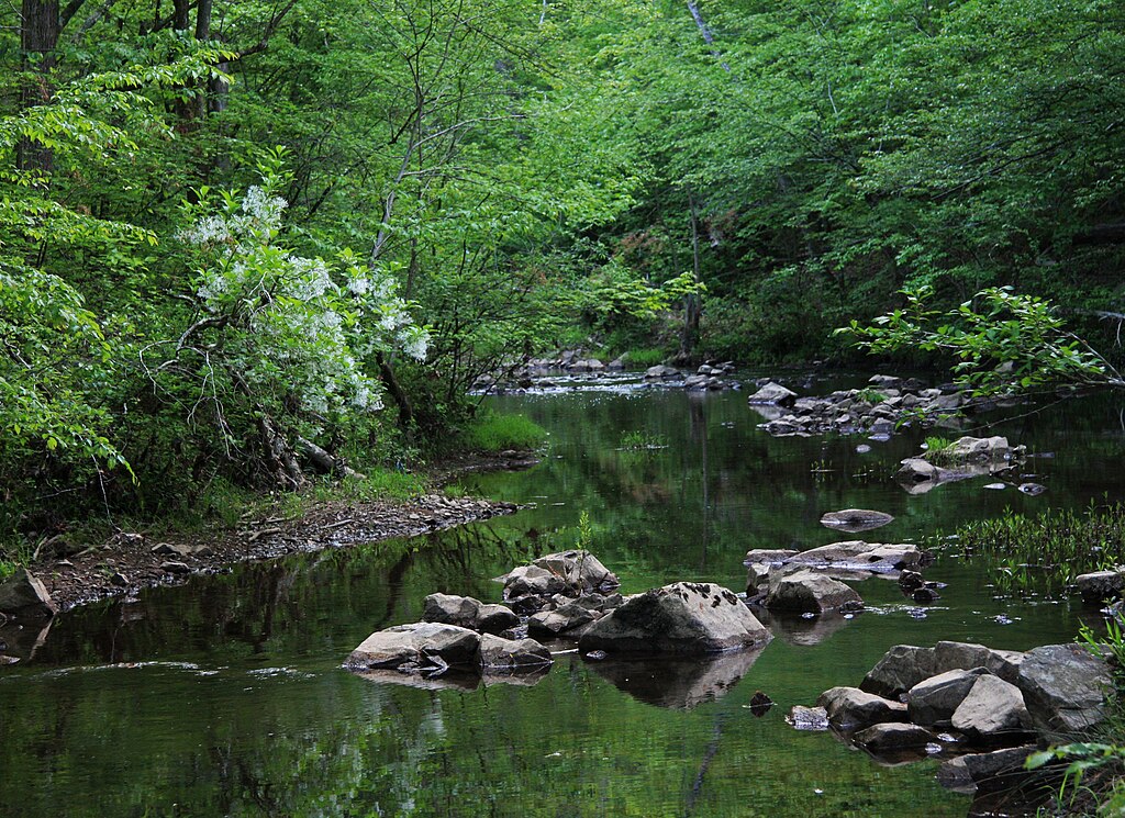
New Hope Creek
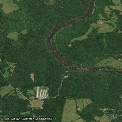
Deep River
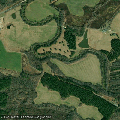
Uwharrie River
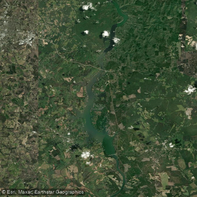
Lake Tillery
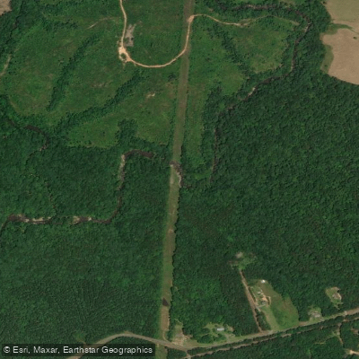
Little River
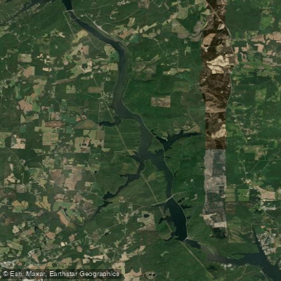
Tuckertown Reservoir
Explore North Carolina waters
Top paddling waters
Popular Cities
Loading popular cities...
Explore near Badin Lake
Access points
Nearby waters
More in North Carolina

Smarter Paddling Starts in the App.
Paddleways gives you everything you need to plan smarter, paddle better, and own every trip from first launch to takeout.