Lawson Creek
- Saltwater
- Tidal creek
Lawson Creek
- Saltwater
- Tidal creek
- Sq. miles
- 0
- Boat Ramps
- 0
- Access Points
- 0
- Campsites
- 0
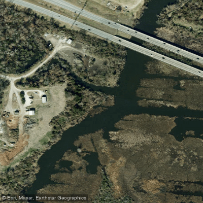
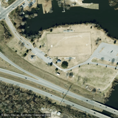
Lawson Creek is a tidal creek that flows into the Trent River near downtown New Bern, North Carolina. The primary access for paddlers is Lawson Creek Park, a 140-acre park that functions as a peninsula surrounded by the creek and river. The park offers two distinct boat ramps, one on the creek and one directly on the Trent River, providing easy launch and retrieval for kayaks, canoes, and small skiffs. The park also serves as a key take-out point for longer routes, including the final section of the Brices Creek paddle trail. The paddling environment is characterized by a mix of open river terrain and sheltered backwaters. Paddling from the park down Lawson Creek to its confluence with the Trent River leads to the historic New Bern waterfront, a trip of approximately 1.5 miles one-way. The area is part of several established paddle circuits, including the Lawson Creek Park Circle, an 8.5-mile loop that incorporates both river and creek backwaters, and the New Bern Circle, a 6.6 to 7.6-mile route where Lawson Creek Park is an optional put-in. Hazards for paddlers are consistent with a coastal, tidal environment and include maritime traffic from other boats, wind exposure which can create waves on the open river sections, and tidal currents. The water is having a gentle to slight current. The park itself provides ample amenities including parking lots, restrooms, a playground, and a waterfront boardwalk. The surrounding landscape offers scenic views with marshes, wooded areas on Jack's Island, and opportunities for bird watching. The best seasons for paddling are generally spring through fall. The area is suitable for beginners comfortable with basic paddle strokes, though longer trips are rated as easy to moderate due to distance and open water conditions.
Water access, boat ramps & amenities
Learn how to get on Lawson Creek. Uncover great paddling access points, boat ramps, and all the facilities you need for an unforgettable day on the water. Some locations shown may border or include private property. Always check property boundaries and applicable regulations before visiting. PaddleWays's Public & Private Land layer can help you plan your access with confidence.
Paddle smarter with real-time insights
Whether you're en route and conditions shift or you're looking for the best spot based on current flows, we enable you to make informed decisions on the fly.








Find Places to Paddle

Over 400,000 Places to Paddle
Every user gets free access to launch points, boat ramps, and public property parcels.


Tides, wind & water conditions (10 day forecast)
On open water, wind and tide matter as much as the weather. See the best times to paddle Lawson Creek and check the marine forecast before you launch.
Loading tide predictions…
Paddling near Lawson Creek

Neuse River
Trent River
Pamlico Sound
Catfish Lake
Long Lake
Pamlico River
Lake Ellis Simon
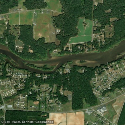
Tar River
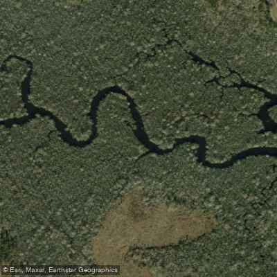
White Oak River
Explore North Carolina waters
Top paddling waters
Popular Cities
Loading popular cities...
Explore near Lawson Creek
Access points
Nearby waters
More in North Carolina

Smarter Paddling Starts in the App.
Paddleways gives you everything you need to plan smarter, paddle better, and own every trip from first launch to takeout.