White Oak River
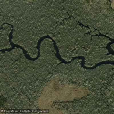
White Oak River
- Boat Ramps
- 4
- Access Points
- 5
- Campsites
- 3
The White Oak River is a picturesque waterway that winds through eastern North Carolina, originating near Maysville and flowing southeast for approximately 40 miles before emptying into the Atlantic Ocean at Bogue Inlet near Swansboro. This blackwater river system drains portions of Jones, Onslow, and Carteret counties, with its watershed encompassing parts of the Croatan National Forest. The river offers a diverse paddling experience, transitioning from an intimate, creek-like setting in its upper reaches to a wide, coastal waterway near its mouth.
The White Oak River Paddle Trail spans 17.22 miles from Maysville to Stella, providing paddlers with a range of scenic sections to explore. The upper section from Maysville to Long Point Landing (7.7 miles) features a narrow, winding channel that gradually widens as it's fed by tributary creeks like Black Swamp, Starkys, and Holston. The middle section from Long Point Landing to Stella (7-8 miles) sees the river continue to broaden, while the lower section from Stella to Swansboro (17 miles) offers a more open paddling experience with potential tidal influences.
Difficulty ranges from Class I-II in the upper sections to flatwater with tidal influences in the lower reaches. The river is suitable for beginners in its upper parts, while the lower sections require more experience due to potential tides and increased boat traffic. The best paddling season is typically March through October when weather conditions are most favorable.
The White Oak River supports a rich ecosystem, with opportunities to spot various wildlife including wading birds, turtles, and occasional alligators. The surrounding landscape transitions from forested banks to coastal marshes as the river approaches the ocean.
Key access points include the Maysville launch, Dixon Field, Haywood Landing, Long Point Landing, and Stella. The town of Swansboro, known as the Friendly City by the Sea, marks the river's transition to a coastal environment.
Historically, the White Oak River played a role in early settlement and trade in the region. Today, it serves as an important recreational resource and natural habitat. Paddlers should be aware of potential weather changes, especially in the lower sections where wind and tides can affect conditions. Multi-day trips are possible by camping at designated sites along the route, offering an immersive experience of this beautiful North Carolina waterway.
Water access, boat ramps & amenities
Learn how to get on White Oak River. Uncover great paddling access points, boat ramps, and all the facilities you need for an unforgettable day on the water. Some locations shown may border or include private property. Always check property boundaries and applicable regulations before visiting. PaddleWays's Public & Private Land layer can help you plan your access with confidence.
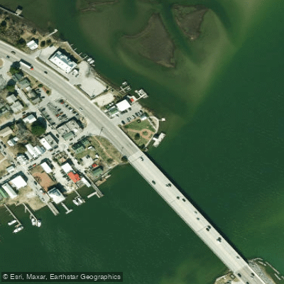
Paddle smarter with real-time insights
Whether you're en route and conditions shift or you're looking for the best spot based on current flows, we enable you to make informed decisions on the fly.








Find Places to Paddle

Over 400,000 Places to Paddle
Every user gets free access to launch points, boat ramps, and public property parcels.


Water and weather conditions (10 day forecast)
See the best times to paddle White Oak River and check the forecast before you go.
No forecast data available.
Paddling near White Oak River

Neuse River
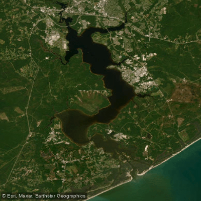
New River
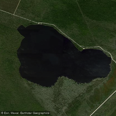
Catfish Lake
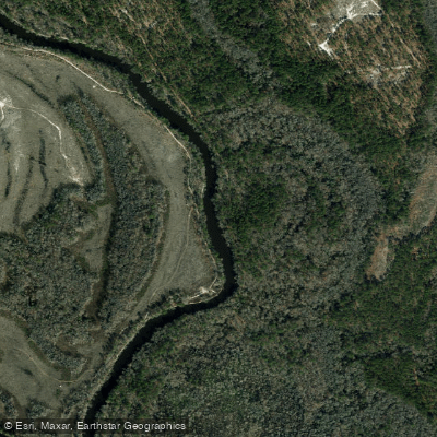
Northeast Cape Fear River
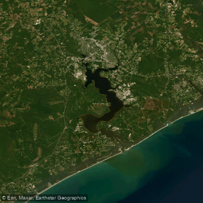
Morgan Bay
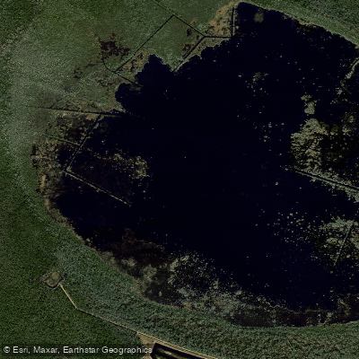
Lake Ellis Simon
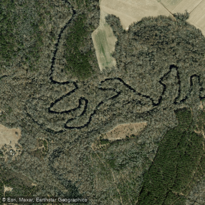
Trent River
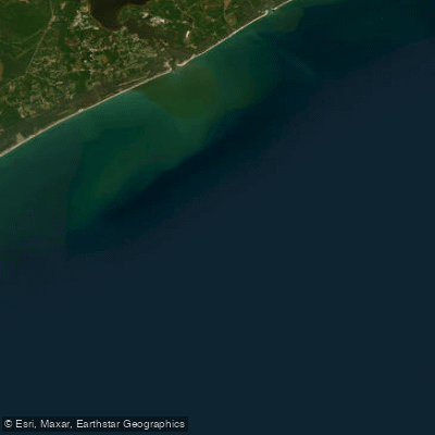
Onslow Bay
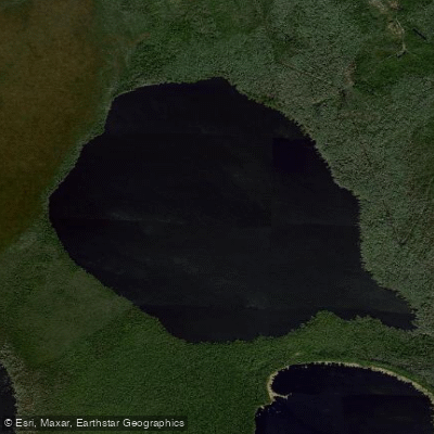
Long Lake
Explore North Carolina waters
Top paddling waters
Popular Cities
Loading popular cities...
Explore near White Oak River
Access points
Nearby waters
More in North Carolina

Smarter Paddling Starts in the App.
Paddleways gives you everything you need to plan smarter, paddle better, and own every trip from first launch to takeout.