Pamlico River
- Saltwater
- Tidal river
Pamlico River
- Saltwater
- Tidal river
- Sq. miles
- 79
- Boat Ramps
- 1
- Access Points
- 0
- Campsites
- 2
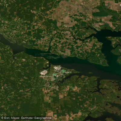
The Pamlico River is a wide, tidal river in eastern North Carolina, flowing into the Pamlico Sound. It is characterized by calm, often wind-affected waters bordered by extensive marshes, cypress trees, and hardwood forests. The river is part of the 180-mile Tar-Pamlico Water Trail, offering routes from sheltered creeks to open-water sea kayaking. Paddling conditions are heavily influenced by wind and tide, not river flow. The Washington waterfront area is a primary hub for access, featuring several launch points. Key public launches include the Havens Garden boat ramp on Runyon Creek, the Washington waterfront near the N.C. Estuarium, and Dinah's Landing Road within Goose Creek State Park. Goose Creek State Park, located about 20 minutes east of Washington, provides additional access, parking, and a primitive restroom. For longer trips, a public boat ramp in Swan Quarter serves as a take-out point roughly 70 river miles downstream from Washington.
The river's width creates significant exposure to wind, which can quickly generate choppy conditions and is a primary factor affecting water levels and currents, even overwhelming lunar tides in some areas like the Washington waterfront. Paddlers should be prepared for open-water crossings, such as the quarter-mile crossing from Washington to the Chocowinity Bay peninsula, and should anticipate motorboat traffic, particularly near channels and marinas. A no-wake zone is enforced between the Coastal Railway swing bridge and the U.S. Highway 17 Bridge in Washington. Jellyfish are present in the river, which is a saltwater tidal system. Water quality issues can include occasional algal blooms and fish kills linked to nutrient pollution. The scenery is lush and verdant, with abundant wildlife including great blue herons, osprey, turtles, and red-winged blackbirds. Spanish moss drapes from trees along many shorelines. Historical sites like Castle Island, with its old oyster shell kilns, dot the route. Paddlers should check detailed tide charts and wind forecasts, use stable craft suitable for open water, and bring sun protection, bug repellent, and ample water. The Tar-Pamlico Water Trail website provides maps showing camping platforms and most boat access points for trip planning.
Water access, boat ramps & amenities
Learn how to get on Pamlico River. Uncover great paddling access points, boat ramps, and all the facilities you need for an unforgettable day on the water. Some locations shown may border or include private property. Always check property boundaries and applicable regulations before visiting. PaddleWays's Public & Private Land layer can help you plan your access with confidence.
Paddle smarter with real-time insights
Whether you're en route and conditions shift or you're looking for the best spot based on current flows, we enable you to make informed decisions on the fly.








Find Places to Paddle

Over 400,000 Places to Paddle
Every user gets free access to launch points, boat ramps, and public property parcels.


Tides, wind & water conditions (10 day forecast)
On open water, wind and tide matter as much as the weather. See the best times to paddle Pamlico River and check the marine forecast before you launch.
Loading tide predictions…
Paddling near Pamlico River

Neuse River
Trent River
Pamlico Sound
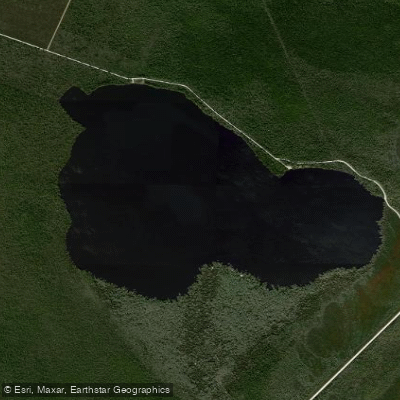
Catfish Lake
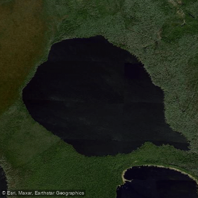
Long Lake
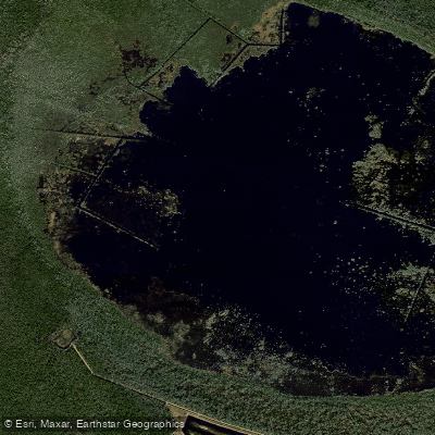
Lake Ellis Simon
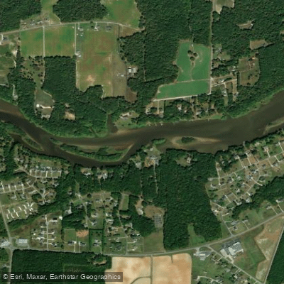
Tar River
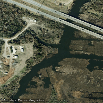
Lawson Creek
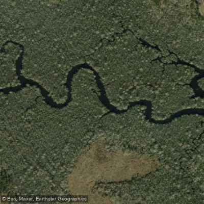
White Oak River
Explore North Carolina waters
Top paddling waters
Popular Cities
Loading popular cities...
Explore near Pamlico River
Access points
Nearby waters
More in North Carolina

Smarter Paddling Starts in the App.
Paddleways gives you everything you need to plan smarter, paddle better, and own every trip from first launch to takeout.