Curated by PaddleWays
RouteFlatwater
- Distance
- 12.1 mi
- Paddle time
- ~4 hrs
- Put-in → take-out
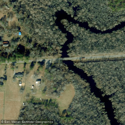
- HWY 37 & Belvidere Boat Ramp → Punch Road Boat Ram
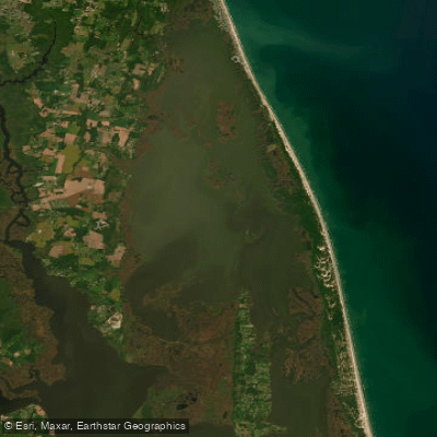
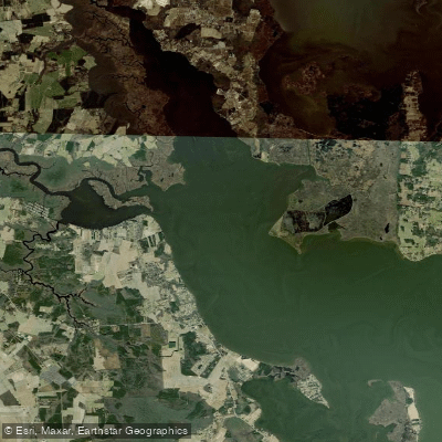
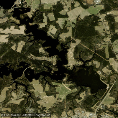
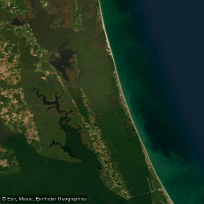
The Perquimans River is a tidal estuary located in northeastern North Carolina, flowing generally southward to empty into Albemarle Sound. This blackwater river originates in the swamps of southern Virginia before entering North Carolina and widening as it approaches the sound. Major tributaries include Goodwin Creek and Mill Creek.
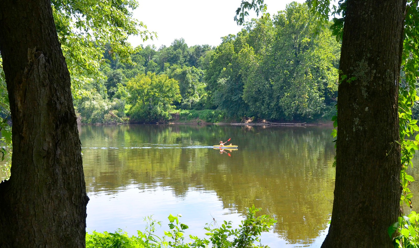
The river offers excellent flatwater paddling opportunities, with three main sections popular among canoeists and kayakers. The Upper Perquimans River Trail begins at a boat ramp on Route 37 in Belvidere, allowing paddlers to travel about 2 miles upstream before returning, for a 4-mile round trip. The Lower Perquimans River Trail extends 12 miles from Belvidere to Hertford. A shorter section at Winfall Park provides an easy 10-minute paddle suitable for beginners. With its gentle current and protected waters, the Perquimans River is ideal for novice paddlers, though more experienced kayakers will also enjoy exploring its meandering course and cypress-lined banks.
The river is best paddled from spring through fall, with summer offering opportunities to see turtles basking on logs and ospreys fishing overhead.
The Perquimans River corridor supports a rich ecosystem, with bald cypress and tupelo trees creating a scenic canopy. As an official birding trail, it offers excellent wildlife viewing, particularly wading birds like great blue herons and egrets. Paddlers may also spot river otters, beavers, and even the occasional alligator in the warmer months.
Key access points include the boat ramps at Belvidere and Hertford, as well as Winfall Park. These small towns provide amenities for paddlers, with Hertford being the largest settlement along the river's course.
Historically, the Perquimans River was home to the Yeopim Indians, who gave the waterway its name, meaning Land of Beautiful Women. The river played an important role in early colonial settlement and trade in the region.
When paddling the Perquimans, be aware of tidal influences, especially in the lower sections. There are no major rapids or hazards, but paddlers should watch for submerged logs and be prepared for afternoon breezes. For those seeking a multi-day adventure, the Perquimans connects to a larger network of paddle trails in the Albemarle region, with camping platforms available on some nearby waterways.
Curated routes
Hand-picked by the PaddleWays team, with put-ins, take-outs, paddle times and the hazards along the way.
RouteFlatwater
Hazards
No hazards are marked on Perquimans River yet. That is not the same as none being there: if you find one, report it for the next paddler.
From the community
Nobody has shared a trip on Perquimans River yet. Paddle it, then tell the next paddler how it went.
See exactly where the public can get on and off the river. Launch points and boat ramps are paired with PaddleWays' public land data so you know where you can legally land.
Public shoreline
0%of the river's shoreline is public
Most of the riverbank is private. Launch, land and camp only at public access points.
Flows, weather and a route-by-route verdict, so you know which stretch of the Perquimans River is worth paddling today.
No forecast data available.
Live flows, marked hazards and fresh trip reports from paddlers who were just on the water, all in one place.





Every user gets free access to launch points, boat ramps, and public property parcels.
Loading popular cities...
PaddleWays gives you everything you need to plan smarter, paddle better, and own every trip from first launch to takeout.