Lake Burnt Mills
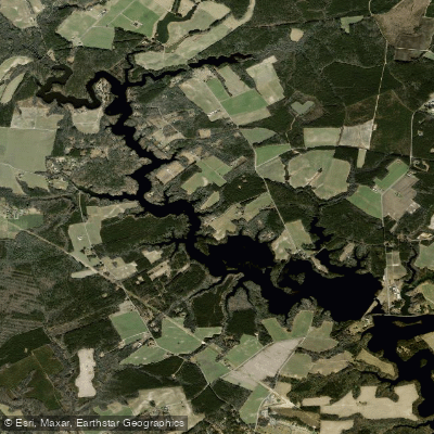
Lake Burnt Mills
- Boat Ramps
- 1
- Access Points
- 1
- Campsites
- 0
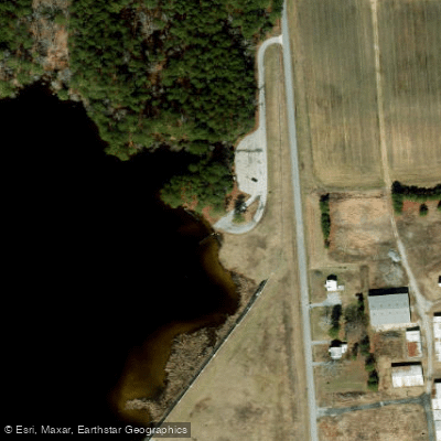
Lake Burnt Mills is a 711-acre reservoir located in Suffolk, Virginia, dating back to the early 1940s. The lake serves as a water supply for the City of Norfolk and offers recreational opportunities for anglers and boaters. A dirt ramp with limited parking is available for launching boats, situated adjacent to the dam off Route 603, a few miles west of Route 10/32.
The upper half of Lake Burnt Mills is characterized by numerous stumps, requiring caution when navigating. The main tributary, Great Swamp, features a dense cypress swamp, adding to the lake's natural appeal. The lake's surface area spans 600 acres, with a total catchment area of 25 square miles.
Paddlers should be aware that a daily or annual boat permit from the City of Norfolk is required for access. These can be obtained from the Lake Whitehurst Fishing Station in Norfolk or the Granby Municipal Building. Gas motors up to 9.9 horsepower are allowed on the lake.
The lake supports diverse fish populations, including black crappie, bluegill, chain pickerel, largemouth bass, and redear sunfish. Yellow perch populations have been increasing in recent years. This variety of fish species contributes to the lake's ecosystem and may provide interesting wildlife viewing opportunities for paddlers.
Lake Burnt Mills is part of a system of water supply reservoirs, connecting to Western Branch Reservoir in a horseshoe shape. The dam itself is an earthen embankment structure, approximately 2,520 feet long and 47 feet high.
The lake is open from sunrise to sunset year-round. Paddlers should be prepared to navigate the lake's unique features, including the stumpy upper half and the cypress swamp in the Great Swamp tributary.
Water access, boat ramps & amenities
Learn how to get on Lake Burnt Mills. Uncover great paddling access points, boat ramps, and all the facilities you need for an unforgettable day on the water. Some locations shown may border or include private property. Always check property boundaries and applicable regulations before visiting. PaddleWays's Public & Private Land layer can help you plan your access with confidence.
Paddle smarter with real-time insights
Whether you're en route and conditions shift or you're looking for the best spot based on current flows, we enable you to make informed decisions on the fly.








Find Places to Paddle

Over 400,000 Places to Paddle
Every user gets free access to launch points, boat ramps, and public property parcels.


Water and weather conditions (10 day forecast)
See the best times to paddle Lake Burnt Mills and check the forecast before you go.
No forecast data available.
Paddling near Lake Burnt Mills

James River
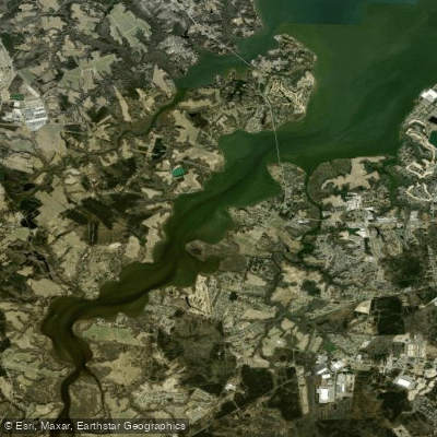
Nansemond River
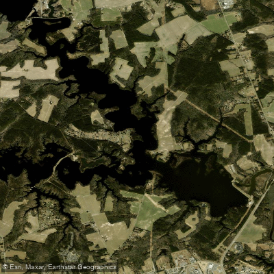
Western Branch Reservoir
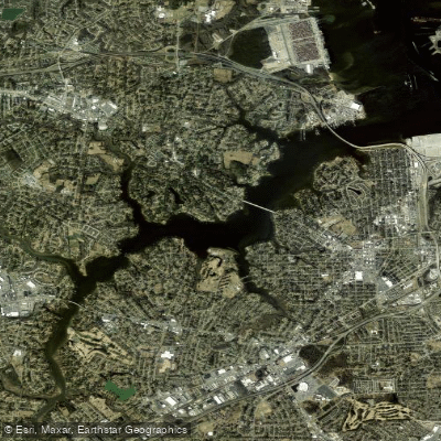
Western Branch
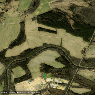
Nottoway River
Lake Drummond
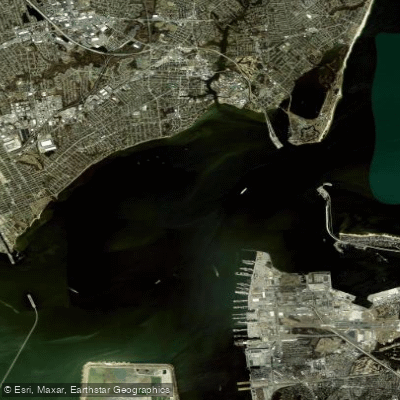
Hampton Roads
Lake Prince
Explore Virginia waters
Top paddling waters
Popular Cities
Loading popular cities...
Explore near Lake Burnt Mills

Smarter Paddling Starts in the App.
Paddleways gives you everything you need to plan smarter, paddle better, and own every trip from first launch to takeout.