Turtle River
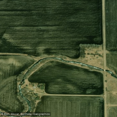
Turtle River
- Boat Ramps
- 0
- Access Points
- 3
- Campsites
- 2
The Turtle River in North Dakota is a modest waterway that flows through the northeastern part of the state. Originating in Grand Forks County, the river meanders generally eastward before joining the Red River of the North near Manvel. While not a major tributary itself, the Turtle River contributes to the vast Red River Basin, which ultimately drains into Lake Winnipeg in Manitoba, Canada.
Paddling opportunities on the Turtle River are limited and largely concentrated within Turtle River State Park, located about 22 miles west of Grand Forks. The park offers a scenic section of the river, winding through a wooded valley that contrasts with the surrounding prairie landscape. This stretch is best suited for novice to intermediate paddlers, featuring mostly flatwater with occasional gentle riffles.
The river's flow is highly seasonal, with spring snowmelt typically providing the most reliable water levels for paddling. Late spring to early summer is generally the recommended time for river activities, as water levels can drop significantly during late summer and fall. Winter brings opportunities for cross-country skiing and snowshoeing along the frozen riverbed within the state park.
Flora along the Turtle River includes a mix of deciduous trees such as oak, ash, and elm, creating a vibrant corridor through the grasslands. Wildlife observers may spot white-tailed deer, beaver, and various bird species including woodpeckers and warblers.
Turtle River State Park serves as the primary access point for paddlers, offering camping facilities, hiking trails, and scenic overlooks of the river valley. The park's visitor center provides information on river conditions and local ecology. Outside the park, access to the river is limited, with few established put-in or take-out points.
Historically, the Turtle River and its surrounding area were important to Native American tribes, particularly the Ojibwe and Dakota. The river's name is derive from its slow, meandering nature, reminiscent of a turtle's pace.
Safety considerations include checking water levels before paddling, as low water can expose rocks and debris. Paddlers should also be aware of potential logjams, especially after high water events. As with all North Dakota waterways, regulations regarding aquatic invasive species must be followed.
While multi-day trips are not common on the Turtle River due to its size and limited access, the state park offers opportunities for weekend getaways combining paddling with hiking and camping experiences. For those seeking a quiet paddle through a slice of North Dakota's varied landscape, the Turtle River provides a peaceful, if brief, escape into nature.
Water access, boat ramps & amenities
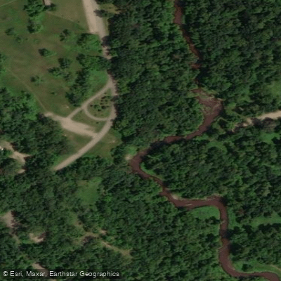
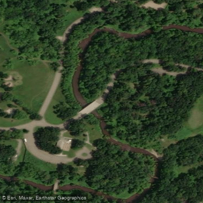
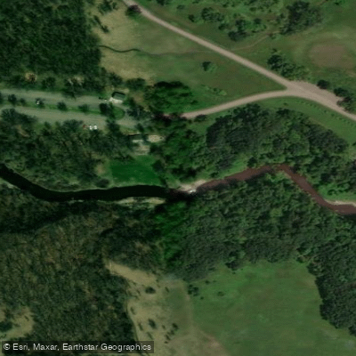
Learn how to get on Turtle River. Uncover great paddling access points, boat ramps, and all the facilities you need for an unforgettable day on the water. Some locations shown may border or include private property. Always check property boundaries and applicable regulations before visiting. PaddleWays's Public & Private Land layer can help you plan your access with confidence.
Paddle smarter with real-time insights
Whether you're en route and conditions shift or you're looking for the best spot based on current flows, we enable you to make informed decisions on the fly.








Find Places to Paddle

Over 400,000 Places to Paddle
Every user gets free access to launch points, boat ramps, and public property parcels.


Water and weather conditions (10 day forecast)
See the best times to paddle Turtle River and check the forecast before you go.
TURTLE RIVER AT TURTLE R STATE PARK NR ARVILLA, ND
Paddling near Turtle River
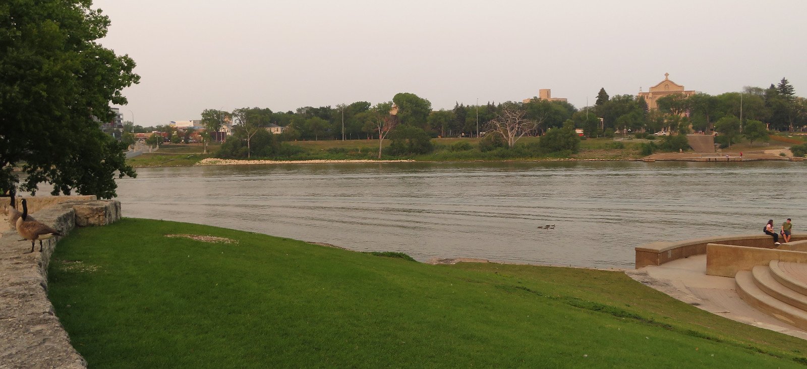
Red River of the North
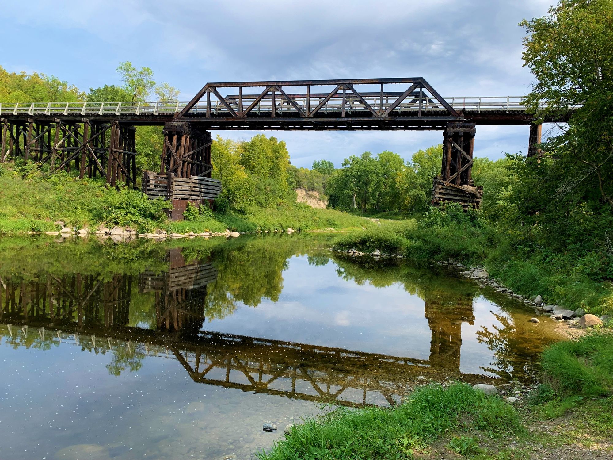
Red Lake River
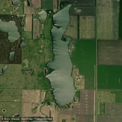
North Golden Lake
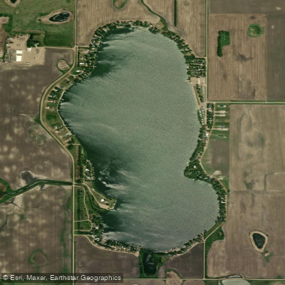
Golden Lake
Clearwater River
Tamarac River
Wild Rice River
Elm River
Thief River
Explore North Dakota waters
Top paddling waters
Popular Cities
Loading popular cities...
Explore near Turtle River
Access points
Nearby waters
More in North Dakota

Smarter Paddling Starts in the App.
Paddleways gives you everything you need to plan smarter, paddle better, and own every trip from first launch to takeout.