Clearwater River
Clearwater River
- Boat Ramps
- 2
- Access Points
- 3
- Campsites
- 4
Clearwater River offers paddlers a diverse journey through some of Minnesota's most pristine wilderness, flowing 147 miles from its headwaters near Bagley to the Red Lake River at Red Lake Falls. This remarkable waterway transforms dramatically as it winds through Beltrami County, providing everything from intimate trout stream paddling to classic northern Minnesota river experiences.
The Clearwater River's personality changes dramatically as you follow its course. In western Beltrami County, you'll discover the river's most treasured section - a designated trout stream that flows crystal-clear over gravel and cobble substrates. This cold-water reach, fed by ancient groundwater from surrounding fens, maintains excellent water quality and supports populations of stocked rainbow and brown trout alongside native species.
Near Pinewood, the river transitions from its trout stream character to a more typical warmwater system as it approaches Clearwater Lake. The gradient increases noticeably here, creating occasional riffles and deeper pools that make for engaging paddling. After exiting Clearwater Lake, the river assumes a more meandering character as it flows northwest through mixed forest and wetland landscapes.
The upper reaches near Bagley present intimate paddling through wetland complexes where the river maintains a low gradient and natural channel. You'll navigate through a series of beaver ponds and wetland areas that provide excellent wildlife viewing opportunities, though occasional portages around beaver dams may be necessary.
The most popular access point lies along County Road 22 (Grange Road) near Pinewood, where you'll find a parking area on the north side of the bridge. This location provides access to both the trout stream section upstream and the warmer water reaches downstream toward Clearwater Lake. The Minnesota DNR has established a wheelchair-accessible boardwalk here with fishing platforms that also serves as an excellent put-in point.
County Road 17 (Clearline Road) crossing offers another access point further upstream in the trout section, though parking is more limited. For those seeking the headwaters experience, you can access the river near Bagley, though specific access points require local knowledge and permission where the river crosses private land. The Nelson Dam Road crossing provides access to the upper trout section, though current barrier issues from undersized culverts make this a challenging portage. Plans are underway to restore connectivity at this location, which will significantly improve access to some of the river's best habitat.
Spring offers the most reliable water levels, typically from April through early June. The Clearwater maintains good flows through summer thanks to its groundwater sources, though late summer can see reduced levels that may require walking through shallow areas. Fall provides excellent paddling conditions with stable flows and spectacular foliage, while winter access is limited to the most dedicated paddlers.
The river's flow regime has been altered by extensive drainage modifications throughout the watershed, leading to flashier conditions during storm events and lower base flows during dry periods. This makes timing important - check recent precipitation patterns before your trip.
The Clearwater River corridor showcases some of Minnesota's most diverse ecosystems. In the trout section, you'll paddle through a landscape of calcareous fens - rare wetland communities that support unique plant species adapted to mineral-rich groundwater. These areas create a park-like setting with scattered tamarack and black spruce.
Wildlife viewing opportunities abound throughout your journey. The river supports healthy populations of beaver, muskrat, and river otter. Bird life includes great blue herons, belted kingfishers, wood ducks, and various warbler species in the riparian forests. In the trout sections, you might spot mink hunting along the banks or catch glimpses of the brown and rainbow trout that make this reach special.
The river's exceptional water clarity in the upper reaches allows you to observe aquatic life directly - from darting trout to the diverse macroinvertebrate communities that indicate the system's health. Downstream sections feature more typical northern Minnesota scenery with mixed hardwood and conifer forests creating a canopy over the water.
The Clearwater River presents several unique challenges that paddlers should anticipate. Beaver activity throughout the system means you may encounter new dams that require portaging. These structures change seasonally, so be prepared for unexpected obstacles.
Water quality varies significantly along the river's length. While the trout sections maintain excellent clarity and quality, downstream reaches have been impacted by agricultural runoff and show elevated bacteria levels during summer months. The river is currently listed as impaired for aquatic recreation in several sections due to E. coli concerns.
Infrastructure barriers pose ongoing challenges. Several road crossings feature undersized or perched culverts that create artificial waterfalls and block fish passage. These same barriers can complicate paddling, particularly during lower water conditions.
The Clearwater River stands out as one of the few trout streams in the Red River Basin, making it a unique paddling destination in northwestern Minnesota. The combination of cold, clear water in the upper reaches and the transition to warmwater habitat creates an unusually diverse aquatic ecosystem for this region.
The river's groundwater origins give it remarkable clarity in the trout sections - you can often see bottom in water several feet deep. This clarity, combined with the stable temperatures provided by groundwater inputs, creates conditions that support both coldwater and coolwater fish species.
Perhaps most significantly, ongoing restoration efforts are working to restore the river's natural connectivity and improve habitat quality. The proposed restoration at Nelson Dam Road and Wilton Trail crossings represents one of the largest stream restoration projects in the region, promising to reconnect fragmented habitats and enhance the paddling experience.
For paddlers seeking a true wilderness experience with excellent fishing opportunities and diverse natural communities, the Clearwater River delivers an authentic northern Minnesota adventure. Whether you're drawn by the rare opportunity to paddle a trout stream or simply want to experience one of the region's clearest waterways, the Clearwater River offers a memorable journey through some of Minnesota's most treasured landscapes.
Water access, boat ramps & amenities
Learn how to get on Clearwater River. Uncover great paddling access points, boat ramps, and all the facilities you need for an unforgettable day on the water. Some locations shown may border or include private property. Always check property boundaries and applicable regulations before visiting. PaddleWays's Public & Private Land layer can help you plan your access with confidence.
Paddle smarter with real-time insights
Whether you're en route and conditions shift or you're looking for the best spot based on current flows, we enable you to make informed decisions on the fly.








Find Places to Paddle

Over 400,000 Places to Paddle
Every user gets free access to launch points, boat ramps, and public property parcels.


Water and weather conditions (10 day forecast)
See the best times to paddle Clearwater River and check the forecast before you go.
CLEARWATER RIVER AT RED LAKE FALLS, MN
All Flow Stations
Paddling near Clearwater River
Red River of the North
Red Lake River
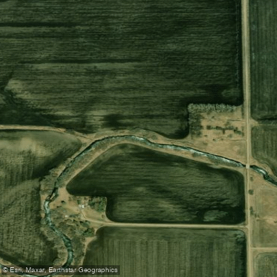
Turtle River
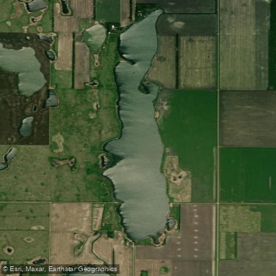
North Golden Lake
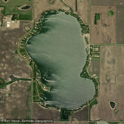
Golden Lake
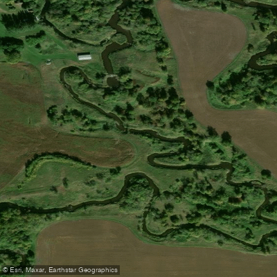
Tamarac River
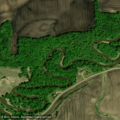
Wild Rice River
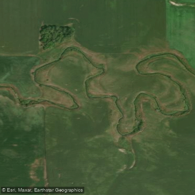
Elm River
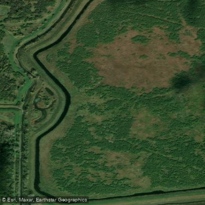
Thief River
Explore Minnesota waters
Top paddling waters
Popular Cities
Loading popular cities...
Explore near Clearwater River
Access points
- Clearwater River, Sportsman Park Public Water Access Site
- First Lake Public Water Access Site
- Clearwater River, Co Rd 5 Public Water Access Site
- Clearwater River Bridge
- Clearwater River Bridge
- Clearwater River Bridge
- Clearwater River Bridge
- Clearwater River Bridge
- Clearwater River Bridge
- Clearwater River Bridge
- Clearwater River Bridge
- Clearwater River Bridge
- All 59 spots
Nearby waters
More in Minnesota

Smarter Paddling Starts in the App.
Paddleways gives you everything you need to plan smarter, paddle better, and own every trip from first launch to takeout.