Red Lake River
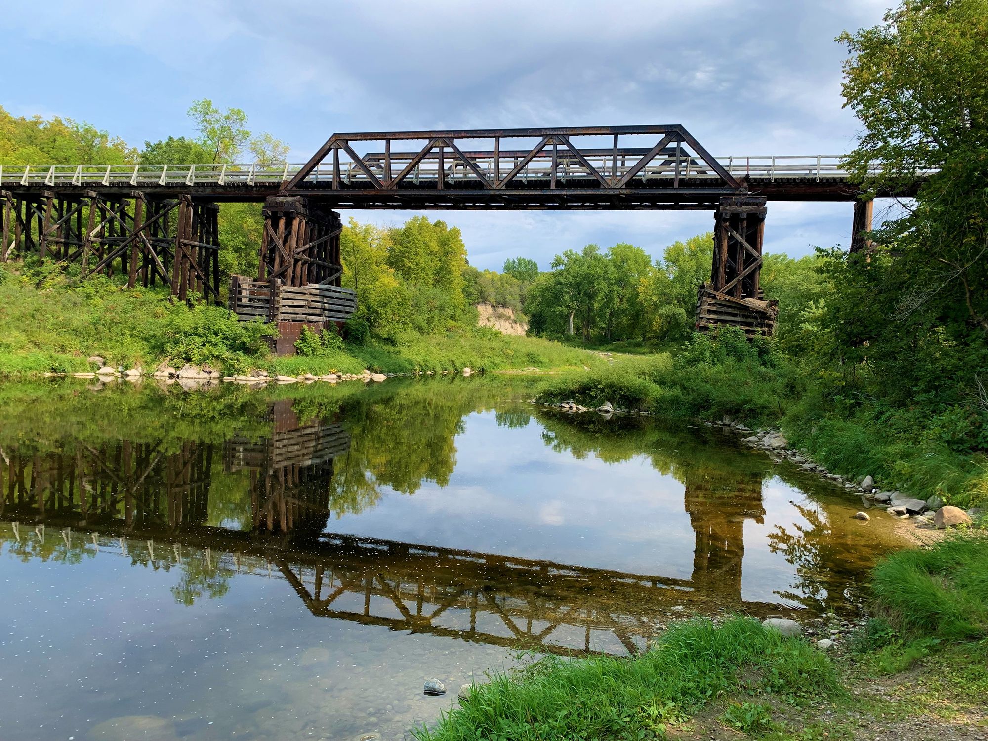
Red Lake River
- Boat Ramps
- 11
- Access Points
- 20
- Campsites
- 6
The Red Lake River is one of the premier paddling destinations in northwestern Minnesota, offering a diverse range of experiences for canoeists and kayakers. Originating at Lower Red Lake, the river flows westward for approximately 193 miles before joining the Red River of the North in East Grand Forks. The river's character changes dramatically along its course, beginning as a gentle stream winding through marshy wilderness and flat farmland before carving through steep, wooded banks and towering eroded cliffs. This variety of landscapes provides habitat for abundant wildlife, including bald eagles, deer, and a wide array of fish species.
Paddlers can choose from several distinct sections, each offering its own challenges and scenery. The upper reaches near Thief River Falls provide a more remote experience, while the middle sections around Red Lake Falls and Crookston offer a mix of gentle flows and mild rapids suitable for intermediate paddlers. The lower sections become increasingly challenging, with scattered boulders and Class II rapids that vary with water levels. Popular put-in points include Thief River Falls, St. Hilaire, and Red Lake Falls, with take-out locations at Huot Park and East Grand Forks.
The river is part of the Red Lake River State Water Trail, with well-maintained access points and campsites along its length. The best paddling season typically runs from late spring through early fall, with water levels generally highest in May and June. Summer offers warmer temperatures and more stable water levels, ideal for family trips and tubing excursions popular around Red Lake Falls. Several outfitters in the region offer rentals and shuttle services, making day trips and multi-day adventures accessible to visitors.
A highlight for many paddlers is the 20-mile stretch from St. Hilaire to Red Lake Falls, which showcases the river's scenic diversity and provides a full day of paddling. Safety considerations include being prepared for changing weather conditions and water levels, as well as wearing appropriate safety gear. Paddlers should also be aware of occasional low-head dams, particularly in urban areas.
The Red Lake River played a significant role in the region's history, serving as a transportation route for Native Americans and early settlers. Today, it continues to be an important recreational and ecological resource, offering a quintessential Minnesota paddling experience that combines natural beauty, wildlife viewing, and varying levels of adventure.
Water access, boat ramps & amenities
Learn how to get on Red Lake River. Uncover great paddling access points, boat ramps, and all the facilities you need for an unforgettable day on the water. Some locations shown may border or include private property. Always check property boundaries and applicable regulations before visiting. PaddleWays's Public & Private Land layer can help you plan your access with confidence.
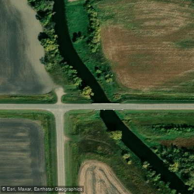
Red Lake River, Co Rd 3 Bridge Public Water Access Site
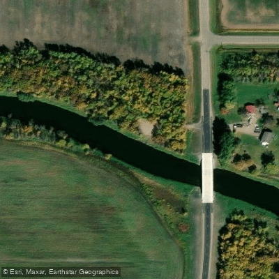
Red Lake River, Kratka Crossing Public Water Access Site
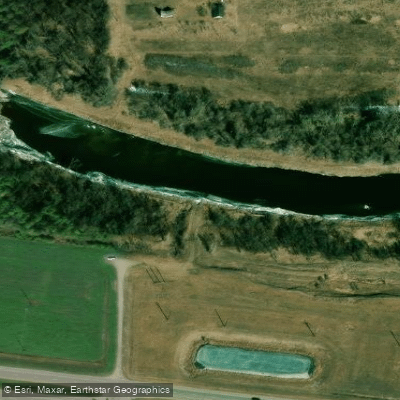
Red Lake River, US Hwy 2/Hwy 9 Public Water Access
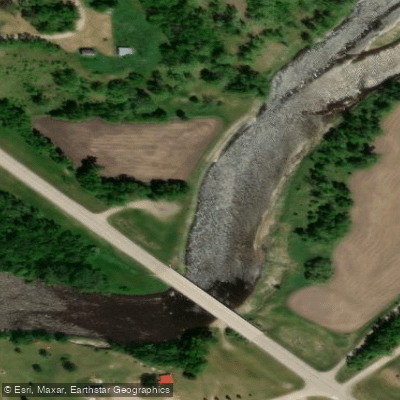
Red Lake River, Voyageur's View Public Water Access Site
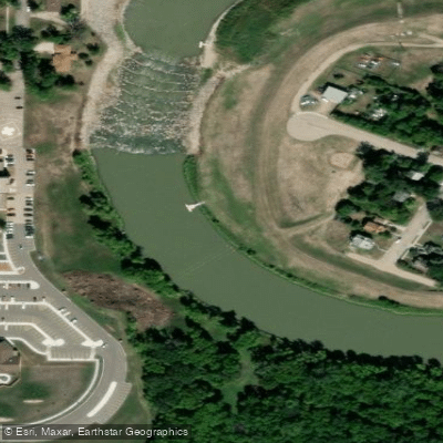
Crookston Public Access
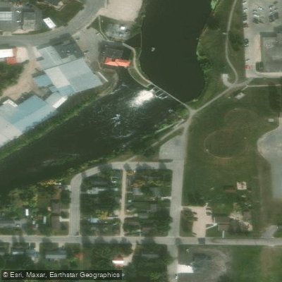
Red Lake River, Mill Yard Park Public Water Access Site
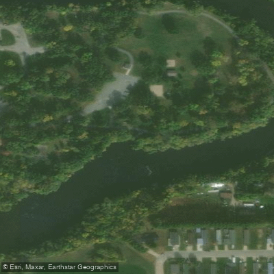
Red Lake River, Oakland Park Public Water Access Site
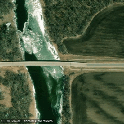
Red Lake River, Gentilly Public Water Access
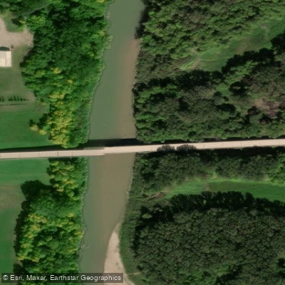
Red Lake River, Fisher Landing Public Water Access Site
Paddle smarter with real-time insights
Whether you're en route and conditions shift or you're looking for the best spot based on current flows, we enable you to make informed decisions on the fly.








Find Places to Paddle

Over 400,000 Places to Paddle
Every user gets free access to launch points, boat ramps, and public property parcels.


Water and weather conditions (10 day forecast)
See the best times to paddle Red Lake River and check the forecast before you go.
RED LAKE RIVER AT HIGH LANDING NR GOODRIDGE, MN
All Flow Stations
Paddling near Red Lake River
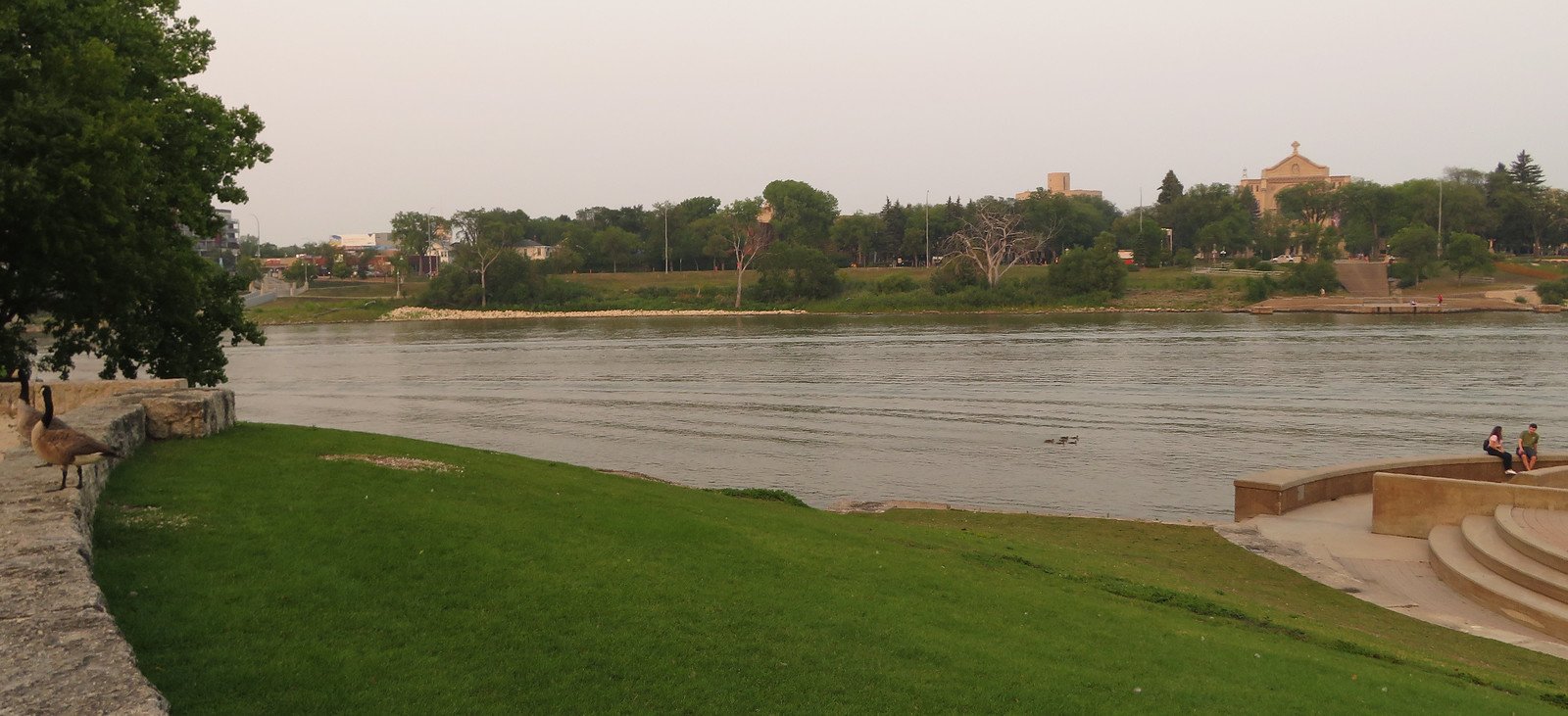
Red River of the North
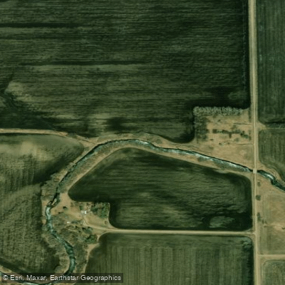
Turtle River
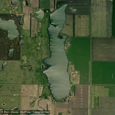
North Golden Lake
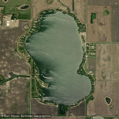
Golden Lake
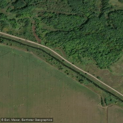
Clearwater River
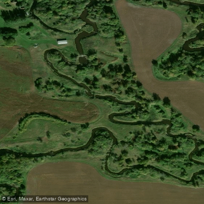
Tamarac River
Wild Rice River
Elm River
Thief River
Explore Minnesota waters
Top paddling waters
Popular Cities
Loading popular cities...
Explore near Red Lake River
Access points
- Red Lake River, St. Hilaire City Park Public Water Access Site
- Red Lake River, Neptune Bridge Public Water Access Site
- Red Lake River, Huot Park Public Water Access Site
- Red Lake River, Hwy 59 Public Water Access Site
- Red Lake River, Smiley Bridge Public Water Access Site
- Red Lake River, Hwy 75 By-pass Public Water Access Site
- Red Lake River, High Landing Public Water Access Site
- Red Lake River, Central Park Public Water Access Site
- Red Lake River, Hwy 1 Public Water Access Site
- Clearwater River, Sportsman Park Public Water Access Site
- Red Lake River, Red River Rec. Area Public Water Access Site
- Red Lake River, Co Rd 3 Bridge Public Water Access Site
- All 97 spots
Nearby waters
More in Minnesota

Smarter Paddling Starts in the App.
Paddleways gives you everything you need to plan smarter, paddle better, and own every trip from first launch to takeout.