Tamarac River
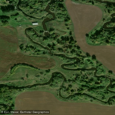
Tamarac River
- Boat Ramps
- 2
- Access Points
- 2
- Campsites
- 2
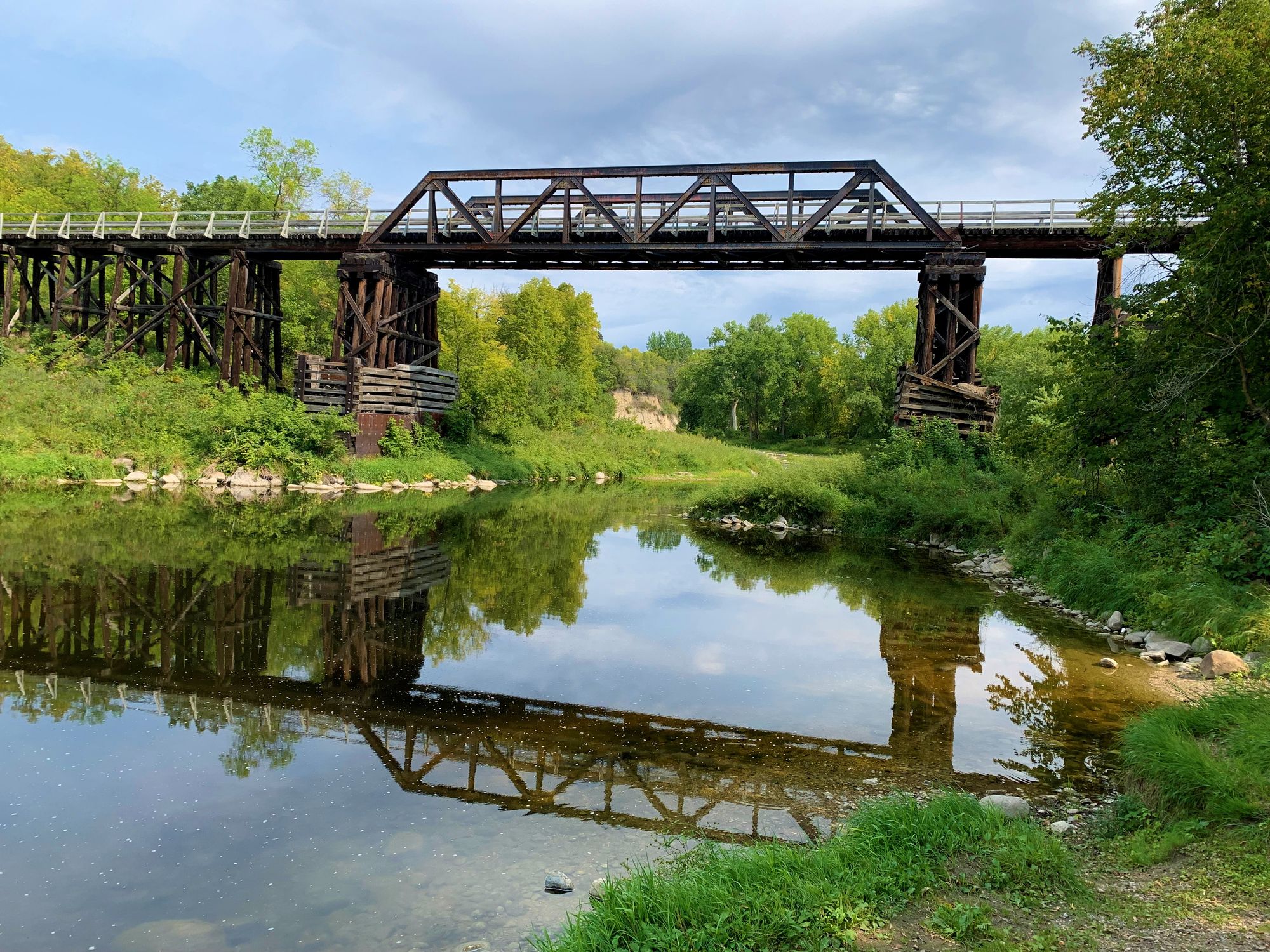
The Tamarac River flows through the northwestern corner of Minnesota, primarily within Marshall County, where it serves as a significant tributary to the Red River of the North. This relatively small river system originates in the glacial lake plain region and meanders westward through flat agricultural lands characteristic of the Red River Valley. The river's watershed encompasses approximately 281,000 acres across portions of Kittson, Marshall, and Roseau counties, though its main channel flows predominantly through Marshall County before joining the Red River.
The Tamarac exhibits the classic features of a prairie river, with a meandering course through predominantly agricultural terrain. Its flow is heavily influenced by seasonal snowmelt and summer rainfall, with water levels fluctuating considerably throughout the year. The river passes through the communities of Stephen and Florian, where county and municipal access points provide opportunities for public interaction with the waterway.
Spring and early summer offer the most reliable paddling conditions, typically from late April through June, when water levels are sufficient for navigation. During this period, paddlers can expect a gentle current suitable for novice to intermediate skill levels. The river's modest gradient and generally forgiving nature make it accessible to recreational paddlers, though low water conditions in mid to late summer can create challenges with shallow sections and occasional portages around beaver dams or log jams.
The Tamarac River corridor supports typical Red River Valley ecology, with riparian zones featuring cottonwood, willow, and box elder trees providing habitat for white-tailed deer, beaver, muskrat, and various waterfowl species. The river itself supports populations of northern pike, walleye, and various rough fish species, with fishing access available at several bridge crossings and designated access points.
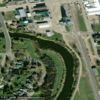
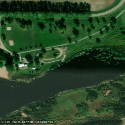
Access points include the Stephen city park area and the Florian County Park, both offering boat launches or carry-in access. These locations provide parking and basic amenities for river users. The flat terrain surrounding the river means limited scenic variation, but the peaceful agricultural landscape offers solitude and wildlife viewing opportunities often absent from more heavily trafficked waterways.
Water quality concerns related to agricultural runoff have been documented, with the river listed as impaired for dissolved oxygen and turbidity. Paddlers should be aware that the Tamarac is a working agricultural river, with water clarity varying seasonally and following precipitation events. The river's management falls under the jurisdiction of the Two Rivers Watershed District, which monitors water quality and implements conservation practices throughout the watershed.
Water access, boat ramps & amenities
Learn how to get on Tamarac River. Uncover great paddling access points, boat ramps, and all the facilities you need for an unforgettable day on the water. Some locations shown may border or include private property. Always check property boundaries and applicable regulations before visiting. PaddleWays's Public & Private Land layer can help you plan your access with confidence.
Paddle smarter with real-time insights
Whether you're en route and conditions shift or you're looking for the best spot based on current flows, we enable you to make informed decisions on the fly.








Find Places to Paddle

Over 400,000 Places to Paddle
Every user gets free access to launch points, boat ramps, and public property parcels.


Water and weather conditions (10 day forecast)
See the best times to paddle Tamarac River and check the forecast before you go.
No forecast data available.
Paddling near Tamarac River
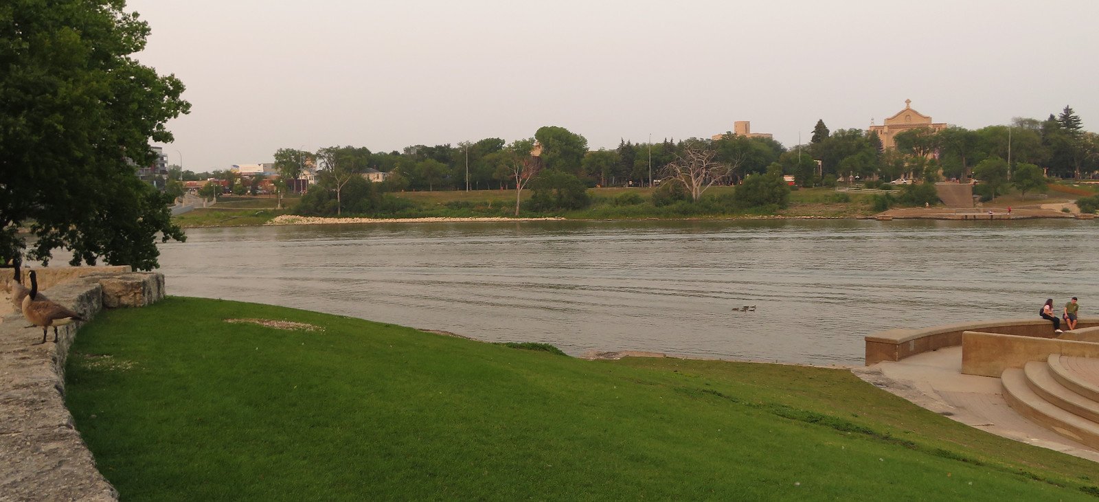
Red River of the North
Red Lake River
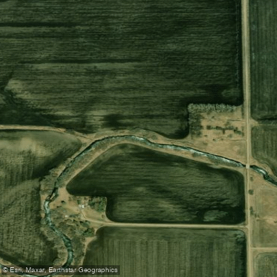
Turtle River
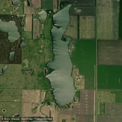
North Golden Lake
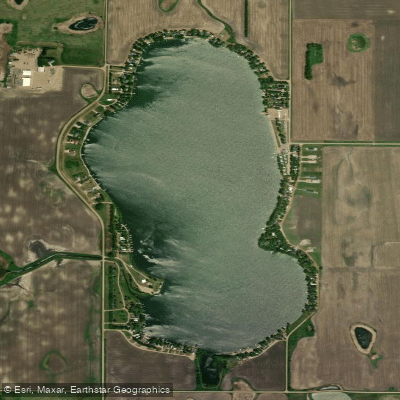
Golden Lake
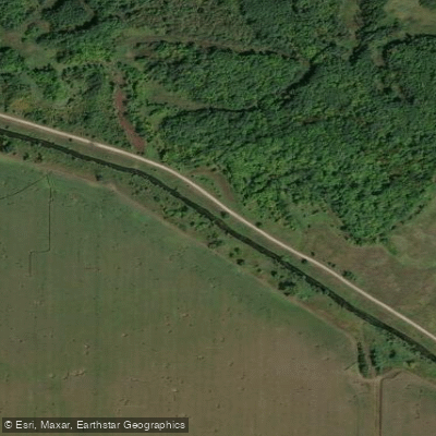
Clearwater River
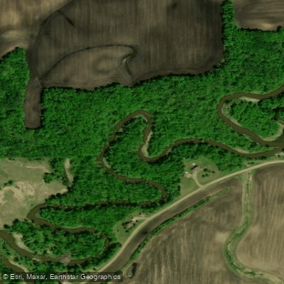
Wild Rice River
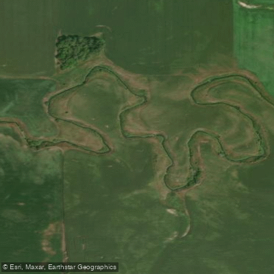
Elm River
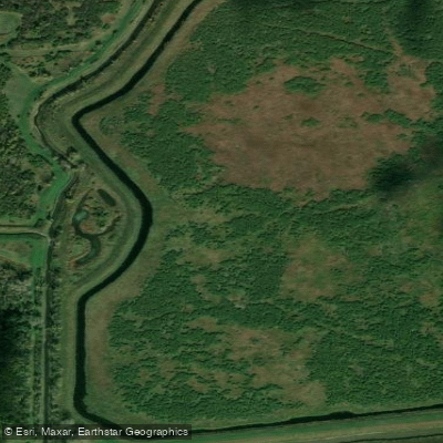
Thief River
Explore Minnesota waters
Top paddling waters
Popular Cities
Loading popular cities...
Explore near Tamarac River
Access points
- Tamarac River, City of Stephen Public Water Access Site
- Tamarac River, Florian County Park Public Water Access Site
- Tamarac River Bridge
- Tamarac River Bridge
- Tamarac River Bridge
- Tamarac River Bridge
- Tamarac River Bridge
- Tamarac River Bridge
- Tamarac River Bridge
- Tamarac River Bridge
- Tamarac River Bridge
- Tamarac River Bridge
- All 36 spots
Nearby waters
More in Minnesota

Smarter Paddling Starts in the App.
Paddleways gives you everything you need to plan smarter, paddle better, and own every trip from first launch to takeout.