Punderson Lake
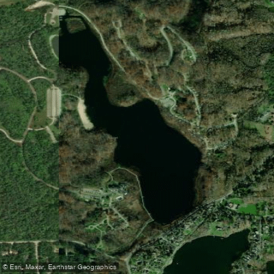
Punderson Lake
- Boat Ramps
- 1
- Access Points
- 3
- Campsites
- 3
Punderson Lake, the largest and deepest kettle lake in Ohio, offers a compact but engaging paddling destination within Punderson State Park. The 101-acre natural lake features 2.6 miles of shoreline and allows only hand-powered vessels and electric motors, making it ideal for peaceful paddling.
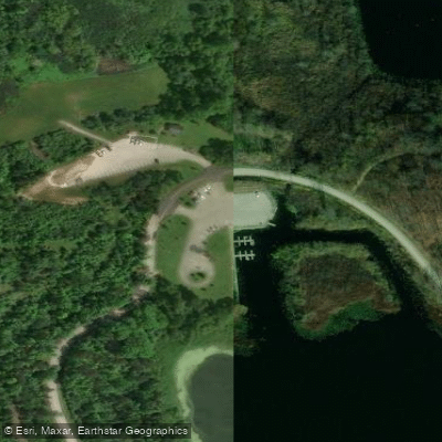
Access is straightforward via a single boat launch ramp on the northern end of the lake, with ample parking and easy launching from the boat inlet. The park's camp store offers kayak, canoe, and paddleboard rentals. A small boathouse near the launch provides basic amenities and supplies.
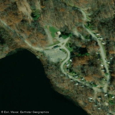
The lake's shoreline presents varied attractions during a circumnavigation, which typically takes a few hours at a leisurely pace. The eastern shore passes a 200-site campground, while the southern end features a marshy backwater inlet ideal for wildlife observation. The western shore showcases the historic Punderson Manor House perched on a cliff overlooking the lake, followed by a 600-foot public swimming beach.
Wildlife viewing opportunities abound, with beavers maintaining active lodges along the shoreline. The lake hosts numerous waterfowl species, including mallards, Canada geese, and wood ducks, plus a resident population of bald eagles. A small island near the boat launch offers an interesting feature to explore.
The lake originated during the last ice age when a massive ice block created a depression that filled with glacial meltwater approximately 14,000 years ago. This geological heritage contributes to its notable depth.
Paddlers should note that current Ohio boat registration is required and actively enforced by park rangers. The park is open daily from 6 AM to 11 PM, though legitimate recreational activities are permitted outside these hours with permission. The surrounding area experiences significant lake effect snow in winter, which may affect seasonal access.
Water access, boat ramps & amenities
Learn how to get on Punderson Lake. Uncover great paddling access points, boat ramps, and all the facilities you need for an unforgettable day on the water. Some locations shown may border or include private property. Always check property boundaries and applicable regulations before visiting. PaddleWays's Public & Private Land layer can help you plan your access with confidence.
Paddle smarter with real-time insights
Whether you're en route and conditions shift or you're looking for the best spot based on current flows, we enable you to make informed decisions on the fly.








Find Places to Paddle

Over 400,000 Places to Paddle
Every user gets free access to launch points, boat ramps, and public property parcels.


Water and weather conditions (10 day forecast)
See the best times to paddle Punderson Lake and check the forecast before you go.
No forecast data available.
Paddling near Punderson Lake

Lake Erie
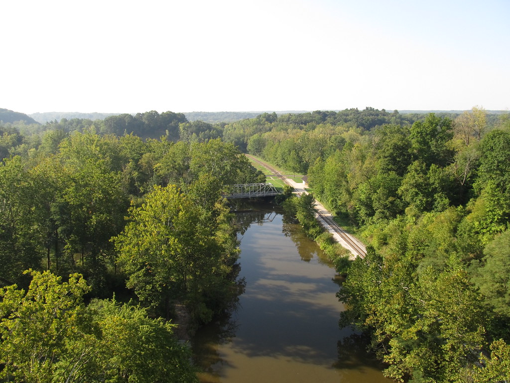
Cuyahoga River
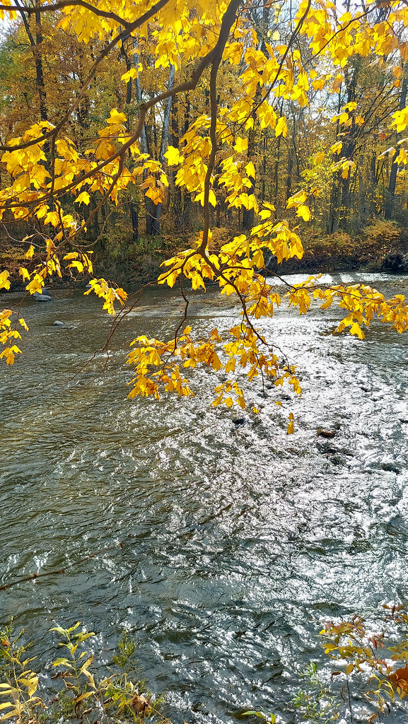
Chagrin River
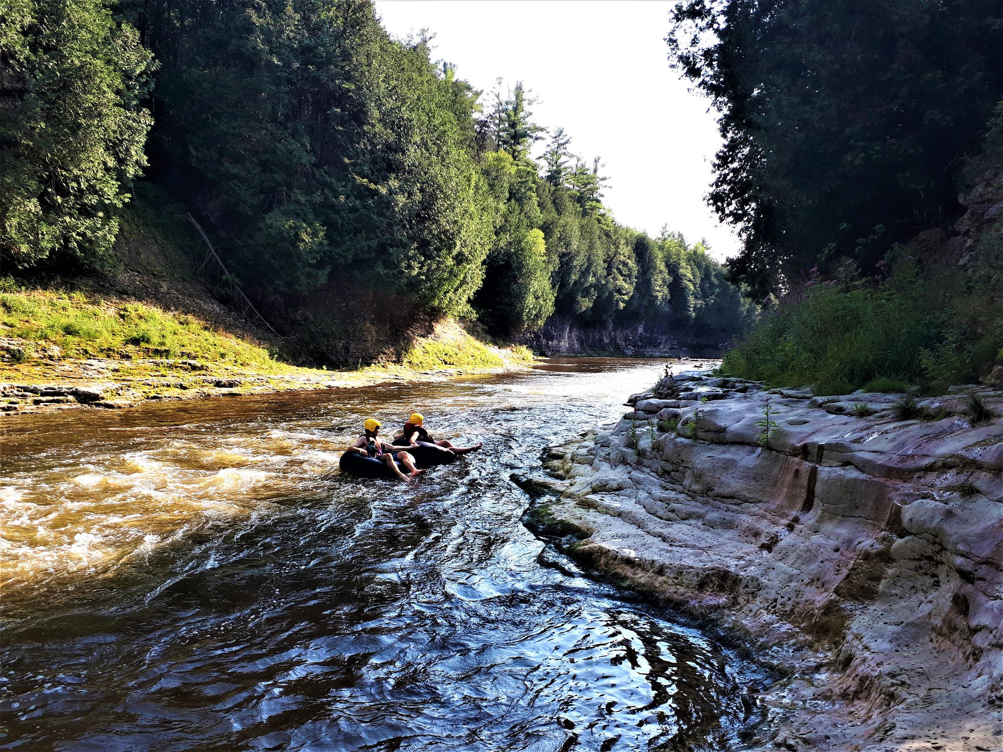
Grand River
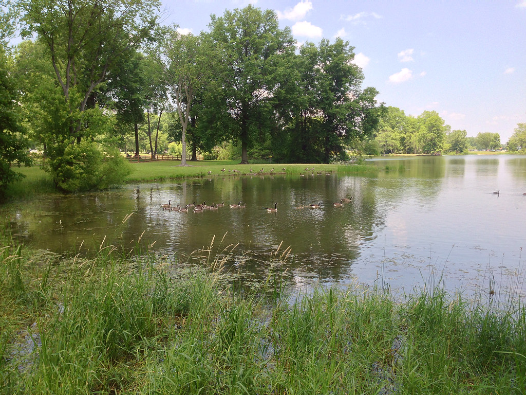
Mosquito Creek Lake
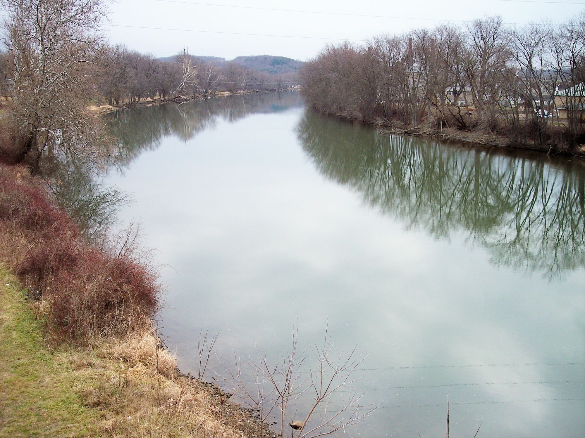
Tuscarawas River
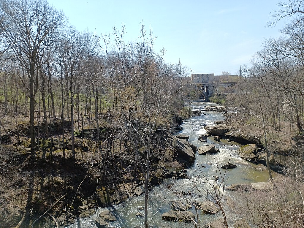
East Branch Rocky River
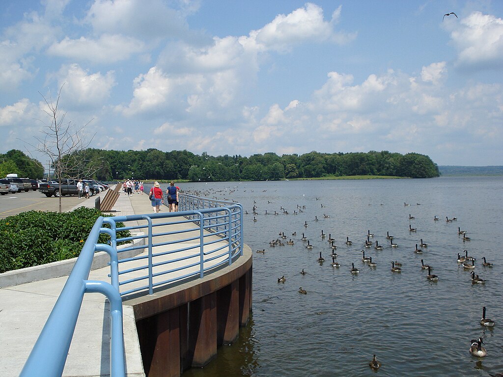
Pymatuning Reservoir
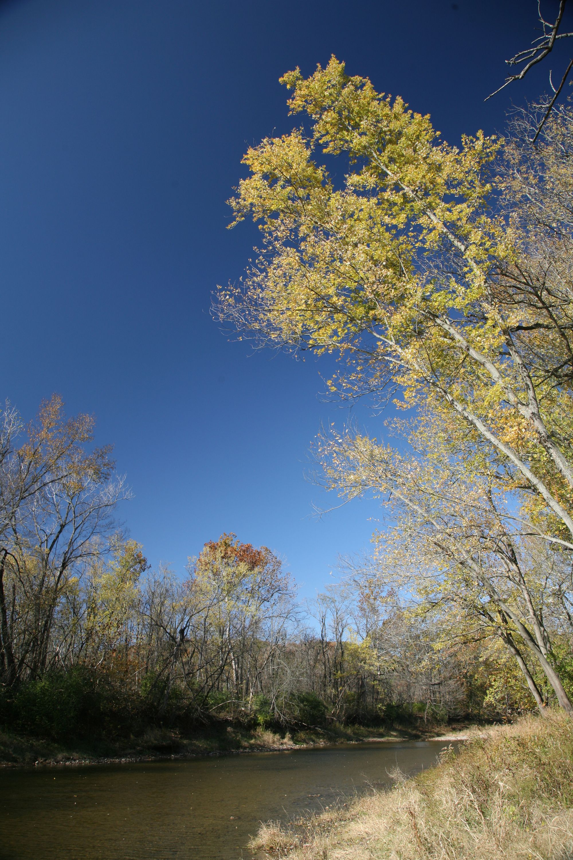
Vermilion River
Ashtabula River
Explore Ohio waters
Top paddling waters
Popular Cities
Loading popular cities...
Explore near Punderson Lake
Access points
- Punderson State Park Boat Ramp
- Punderson State Park Marina Access
- Punderson State Park Campground Access
- Hopsons Crk .96 M W 168 Bridge
- W Branch Cuyahoga River Bridge
- W Branch Cuyahoga River Bridge
- W Br Cuyahoga River Bridge
- Bridge Creek Bridge
- Cuy Riv 0.19 Mi Nw 700 Bridge
- W Br Cuyahoga River Bridge
- Diedrich Creek Bridge
- Cuyahoga River Bridge
- All 21 spots
Nearby waters
More in Ohio

Smarter Paddling Starts in the App.
Paddleways gives you everything you need to plan smarter, paddle better, and own every trip from first launch to takeout.