Clendening Lake
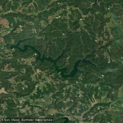
Clendening Lake
- Boat Ramps
- 6
- Access Points
- 6
- Campsites
- 0
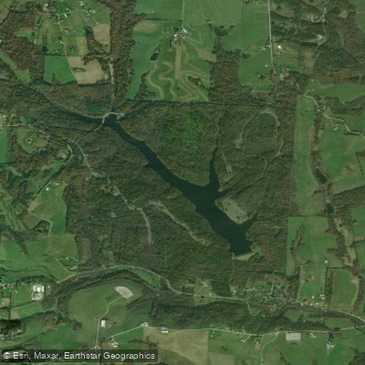
Clendening Lake in Ohio offers a serene paddling experience as one of the quietest Muskingum Watershed Conservation District lakes. Created in the 1930s for flood control, it's now primarily recreational. The lake's undeveloped nature, with most of the shoreline free of roads and cabins, provides a pristine setting. Forested hills rise from the shore, featuring small caves and rock ledges for exploration.
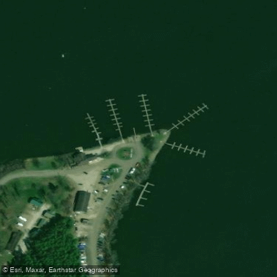
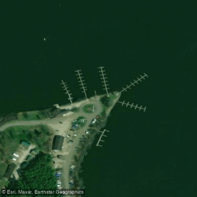
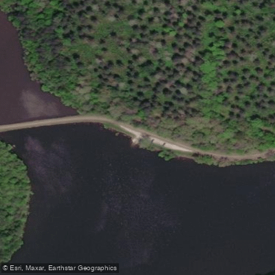
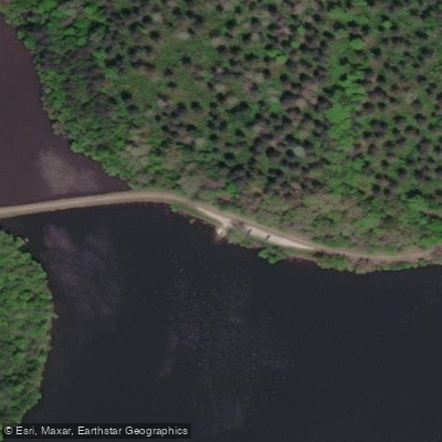
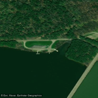
Paddlers can access the lake from three main points: the marina on the south side, a small gravel put-in east of Tippecanoe on the north side, and near the dam on the east end (requiring a steep carry). The dam area offers clean bathrooms, picnic facilities, and a playground, while the marina has more basic amenities.
The lake's 10 hp motor limit ensures a peaceful environment for paddlers, with minimal boat traffic typically limited to a few bass boats and pontoons. Long fingers formed by damming small streams allow paddlers to escape to shallow waters at their ends. The lake's calm, pristine waters make it especially appealing for kayaking.
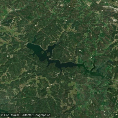
Clendening Lake's relatively remote location between Tappan Lake to the north and Piedmont Lake to the south contributes to its tranquil atmosphere. Its status as the largest undeveloped lake in Ohio adds to its appeal for nature enthusiasts.
For trip planning, the Muskingum Watershed Conservation District website (www.mwcdlakes.com) provides general information. The "Sportsman's Connection: Southern Ohio Fishing Map Guide" offers detailed maps and additional resources for paddlers exploring this hidden gem in Ohio's outdoor landscape.
Water access, boat ramps & amenities
Learn how to get on Clendening Lake. Uncover great paddling access points, boat ramps, and all the facilities you need for an unforgettable day on the water. Some locations shown may border or include private property. Always check property boundaries and applicable regulations before visiting. PaddleWays's Public & Private Land layer can help you plan your access with confidence.
Paddle smarter with real-time insights
Whether you're en route and conditions shift or you're looking for the best spot based on current flows, we enable you to make informed decisions on the fly.








Find Places to Paddle

Over 400,000 Places to Paddle
Every user gets free access to launch points, boat ramps, and public property parcels.


Water and weather conditions (10 day forecast)
See the best times to paddle Clendening Lake and check the forecast before you go.
No forecast data available.
Paddling near Clendening Lake

Ohio River
Allegheny River
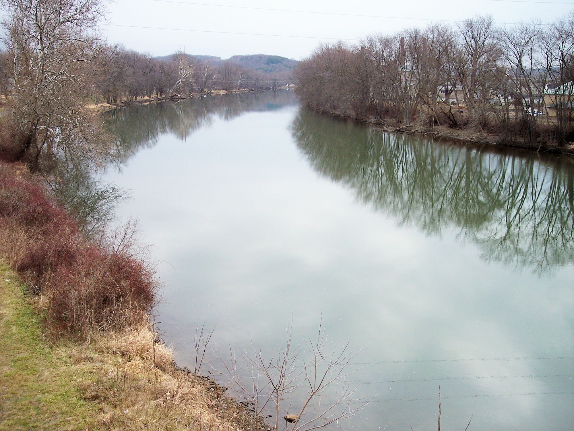
Tuscarawas River
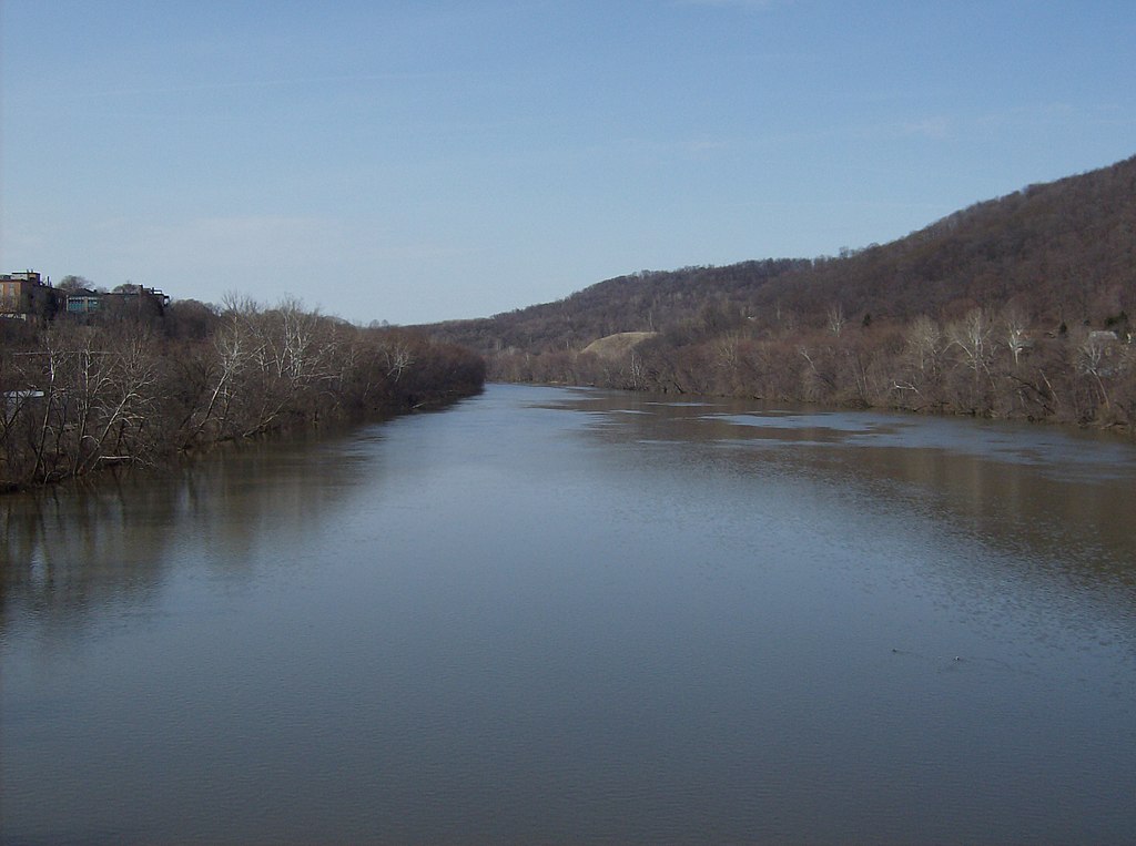
Beaver River
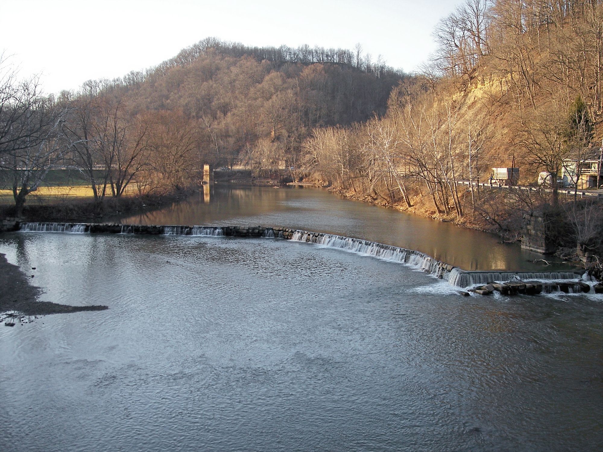
West Fork River
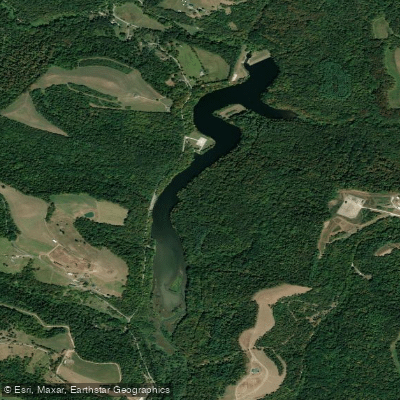
Dutch Fork Lake
Belmont Lake
Wheeling Creek
Tappan Lake
Explore Ohio waters
Top paddling waters
Popular Cities
Loading popular cities...
Explore near Clendening Lake
Access points
Nearby waters
More in Ohio

Smarter Paddling Starts in the App.
Paddleways gives you everything you need to plan smarter, paddle better, and own every trip from first launch to takeout.