Wheeling Creek
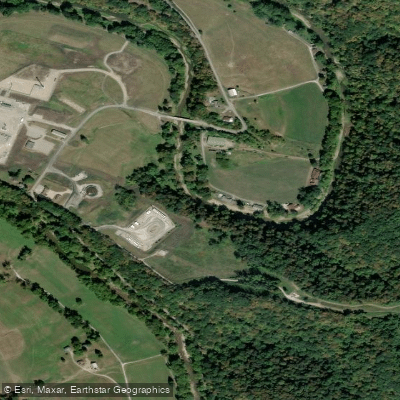
Wheeling Creek
- Boat Ramps
- 3
- Access Points
- 3
- Campsites
- 0
Wheeling Creek flows 25 miles through the northern panhandle of West Virginia, originating from the confluence of Enlow Fork and Dunkard Fork near Majorsville in Marshall County before winding northwest through Ohio County to meet the Ohio River in downtown Wheeling. This tributary drains approximately 300 square miles of the unglaciated Allegheny Plateau, carving through a landscape that transitions from rural farmland and forest in Marshall County to the urban environment of Wheeling.
The creek offers accessible flatwater paddling with occasional small riffles, making it suitable for beginners and families seeking a relaxed experience. The Wheeling Creek Water Trail extends approximately 28 stream miles, providing multiple entry and exit points along its course. Paddlers can expect mostly calm conditions interspersed with gentle Class I features, though water levels significantly affect navigability. Optimal paddling occurs when the Elm Grove gauge reads between 1.8 and 4 feet—below 1.8 feet requires extensive portaging over shallow sections, while levels above 4 feet present dangerous conditions unsuitable for recreation.
The creek supports diverse aquatic life including muskellunge, smallmouth bass, sunfish, northern hogsucker, various catfish species, and bluegill. West Virginia Division of Natural Resources regularly stocks the lower sections with rainbow trout and brown trout, creating popular fishing opportunities accessible from the Wheeling Heritage Trail System. The waterway passes through varied habitat zones, with wooded riparian corridors in Marshall County giving way to more developed shorelines as it approaches Wheeling.
Access points connect directly to the Wheeling Heritage Trail, a paved multi-use path that parallels the creek for approximately five miles through Ohio County. This rail-trail provides convenient put-ins and take-outs, particularly in the Elm Grove neighborhood where Little Wheeling Creek joins the main stem. The trail crosses Wheeling Creek via the historic Hempfield Viaduct and passes through the Hempfield Tunnel, built in 1904, offering paddlers unique perspectives of local industrial heritage.
Spring and early summer provide the most reliable water levels, though late summer rainstorms can maintain paddleable conditions throughout the season. The creek's urban sections flow past historic sites documenting Wheeling's role as a 19th-century industrial center and the birthplace of West Virginia. Paddlers should monitor current conditions via USGS stream gauges and be aware that the creek flows through both public and private lands. The combination of gentle water, convenient access, and proximity to Wheeling's amenities makes this an ideal introduction to water trails in West Virginia's northern panhandle.
Water access, boat ramps & amenities
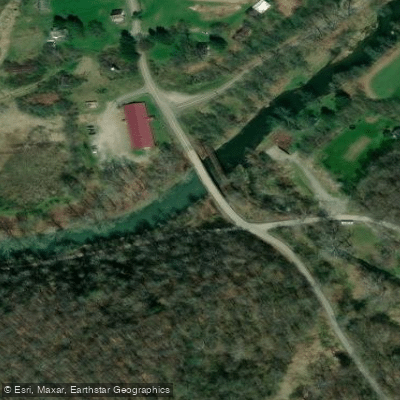
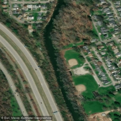
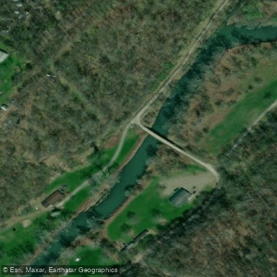
Learn how to get on Wheeling Creek. Uncover great paddling access points, boat ramps, and all the facilities you need for an unforgettable day on the water. Some locations shown may border or include private property. Always check property boundaries and applicable regulations before visiting. PaddleWays's Public & Private Land layer can help you plan your access with confidence.
Paddle smarter with real-time insights
Whether you're en route and conditions shift or you're looking for the best spot based on current flows, we enable you to make informed decisions on the fly.








Find Places to Paddle

Over 400,000 Places to Paddle
Every user gets free access to launch points, boat ramps, and public property parcels.


Water and weather conditions (10 day forecast)
See the best times to paddle Wheeling Creek and check the forecast before you go.
WHEELING CREEK NEAR MAJORSVILLE, WV
All Flow Stations
Paddling near Wheeling Creek

Ohio River
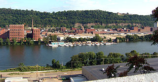
Allegheny River
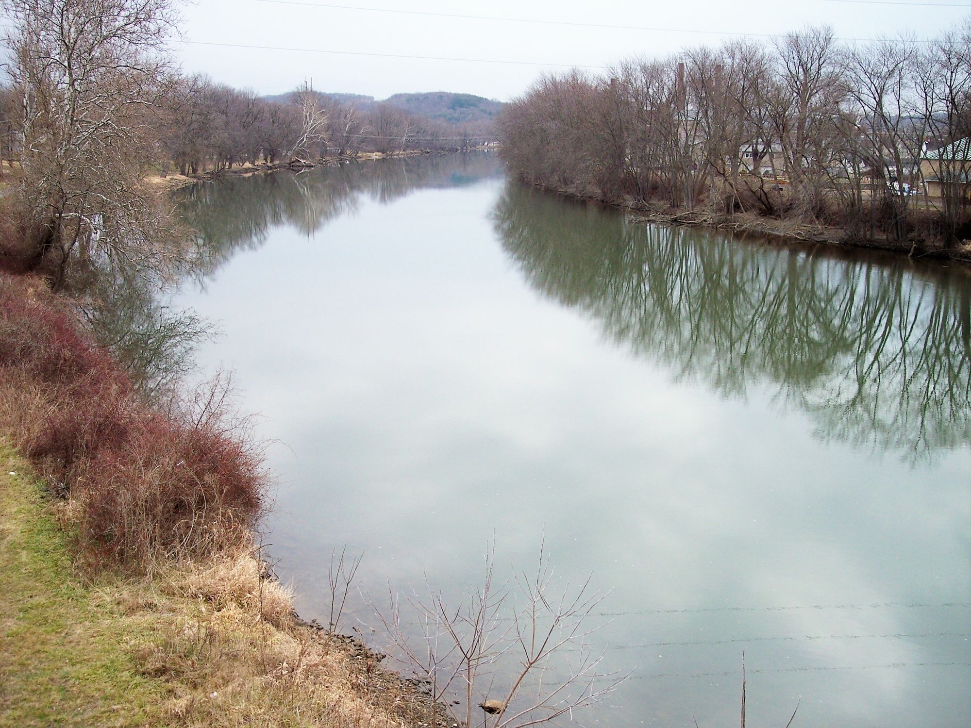
Tuscarawas River
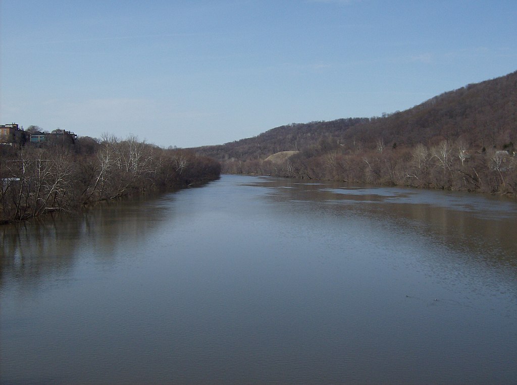
Beaver River
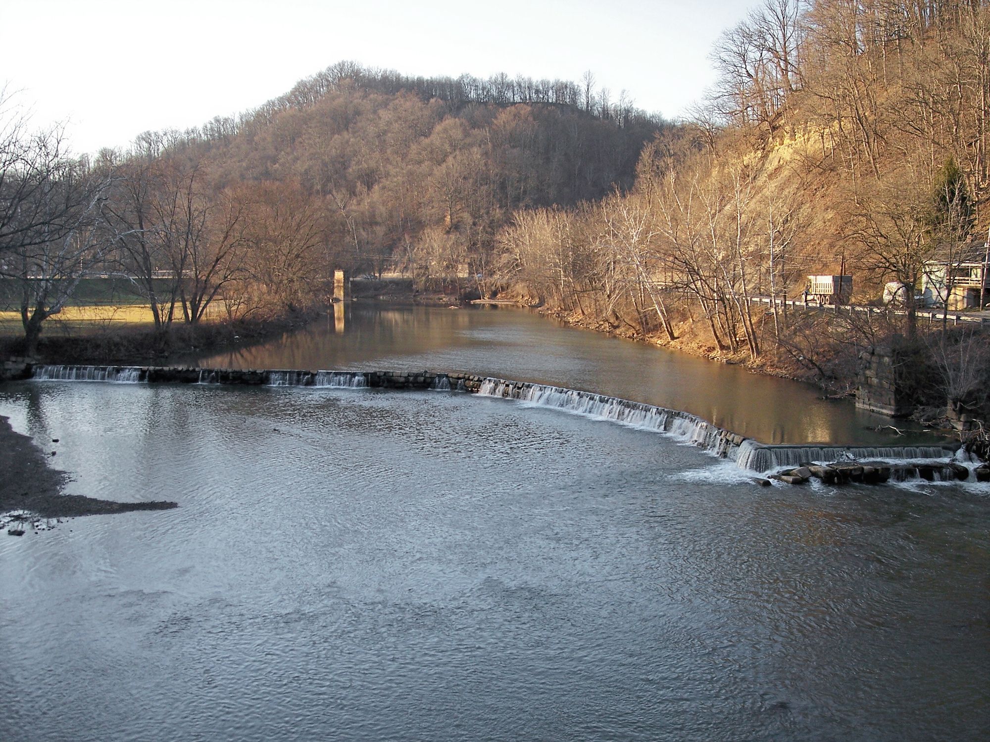
West Fork River
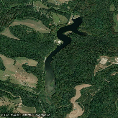
Dutch Fork Lake
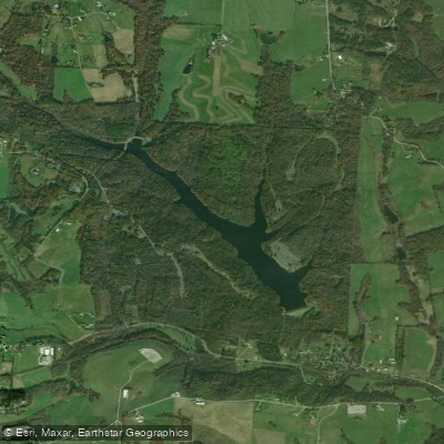
Belmont Lake
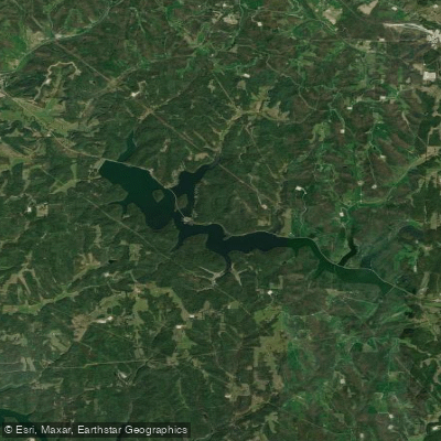
Tappan Lake
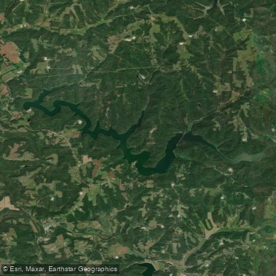
Clendening Lake
Explore West Virginia waters
Top paddling waters
Popular Cities
Loading popular cities...
Explore near Wheeling Creek
Access points
Nearby waters
More in West Virginia

Smarter Paddling Starts in the App.
Paddleways gives you everything you need to plan smarter, paddle better, and own every trip from first launch to takeout.