West Fork River
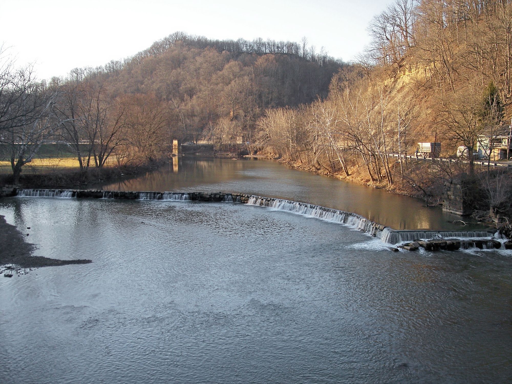
West Fork River
- Boat Ramps
- 22
- Access Points
- 32
- Campsites
- 1
The West Fork River is a significant waterway in north-central West Virginia, originating near Weston and flowing northward for approximately 75 miles before joining the Monongahela River in Fairmont. This river system drains a substantial portion of the region, passing through several notable towns including Weston, Clarksburg, and Shinnston. Paddlers can enjoy a variety of experiences on the West Fork, ranging from peaceful flatwater stretches to mild Class II rapids. The river's main stem offers an extended journey from the Stonewall Jackson Dam to Fairmont, providing a mix of urban and rural landscapes.
Shorter day trip options are available, such as the 4-5 mile section from the Stonewood Exit of I-79 to the CR 20/19 bridge, or the scenic 5-mile Worthington Section. The overall difficulty of the West Fork River is suitable for beginner to intermediate paddlers, with most sections falling in the Class I-II range. However, all paddlers should be aware of potential hazards, particularly the Bendale Dam located 1.7 miles downstream from Stonewall Jackson Dam, which requires a portage on river right.
Spring and early summer typically offer the best water levels for paddling, though the river can be enjoyed in other seasons with adequate flow. The West Fork's banks host a variety of flora typical to the Appalachian region, and paddlers may spot wildlife such as deer, various bird species, and occasionally river otters.
Key landmarks along the river include the historic Stonewall Jackson Dam, the old cut stone dam in Worthington, and the urban waterfronts of Clarksburg and Fairmont. The West Fork Rail Trail parallels the river for nearly 17 miles between Shinnston and Fairmont, offering additional recreational opportunities and convenient shuttle options for paddlers.
Access points are numerous, with popular put-ins at Stonewall Jackson Dam, Stonewood, and Worthington. The river's course through several towns provides ample opportunities for resupply and lodging for those planning multi-day trips.
The West Fork River holds historical significance as a transportation route and power source for early settlers and industries in the region. Today, it serves as an important recreational resource and a reminder of West Virginia's natural beauty.
Paddlers should always check current water levels and weather conditions before embarking, wear appropriate safety gear, and be prepared for occasional portages around dams or other obstacles. With proper planning and precautions, the West Fork River offers a rewarding paddling experience through the heart of north-central West Virginia.
Water access, boat ramps & amenities
Learn how to get on West Fork River. Uncover great paddling access points, boat ramps, and all the facilities you need for an unforgettable day on the water. Some locations shown may border or include private property. Always check property boundaries and applicable regulations before visiting. PaddleWays's Public & Private Land layer can help you plan your access with confidence.
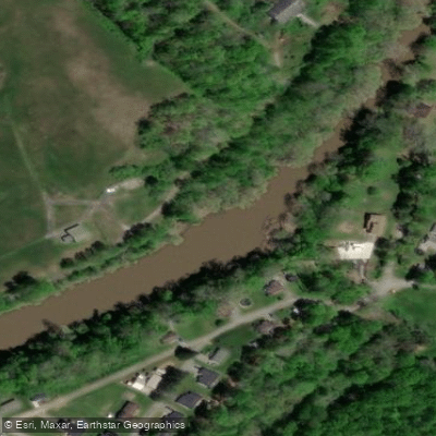
Highland Dam Access
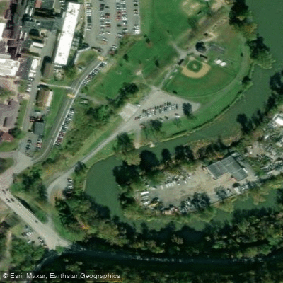
Clarksburg Baseball Complex Access
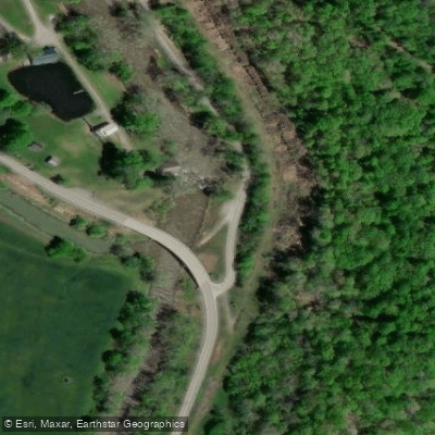
Jackson Mill Access
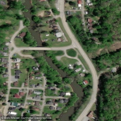
Middle Run Bridge Access
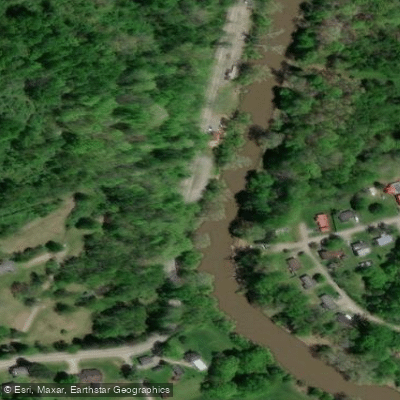
West Milford Access
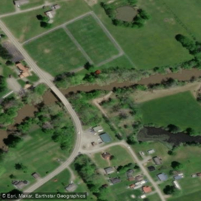
Goodhope Access
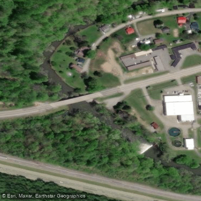
Bendale Bridge Access
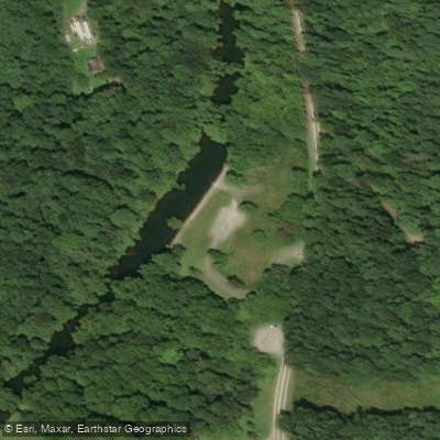
Stonewall Jackson Tailwaters Access
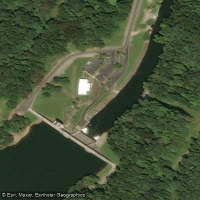
Stonewall Jackson Tailwaters Access
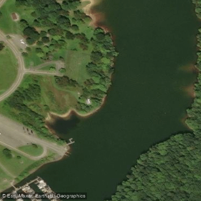
Stonewall Jackson Lake Access
Paddle smarter with real-time insights
Whether you're en route and conditions shift or you're looking for the best spot based on current flows, we enable you to make informed decisions on the fly.








Find Places to Paddle

Over 400,000 Places to Paddle
Every user gets free access to launch points, boat ramps, and public property parcels.


Water and weather conditions (10 day forecast)
See the best times to paddle West Fork River and check the forecast before you go.
WEST FORK RIVER AT WALKERSVILLE, WV
All Flow Stations
Paddling near West Fork River
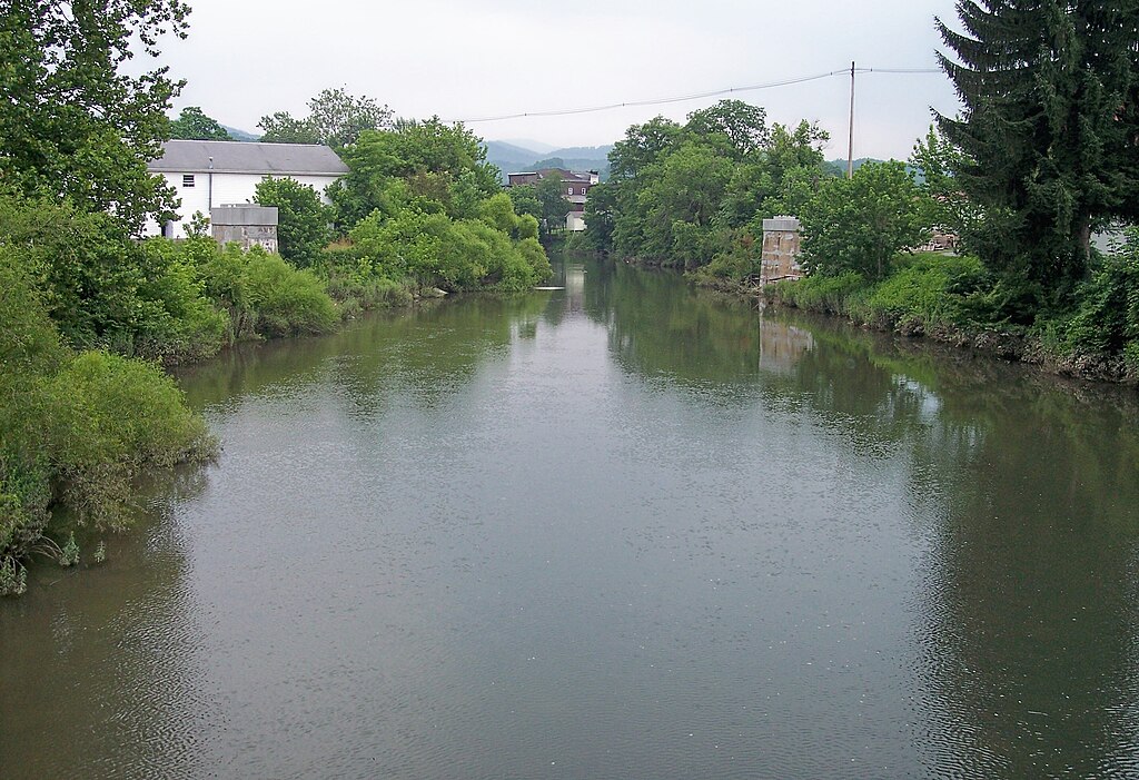
Tygart Valley River

Ohio River
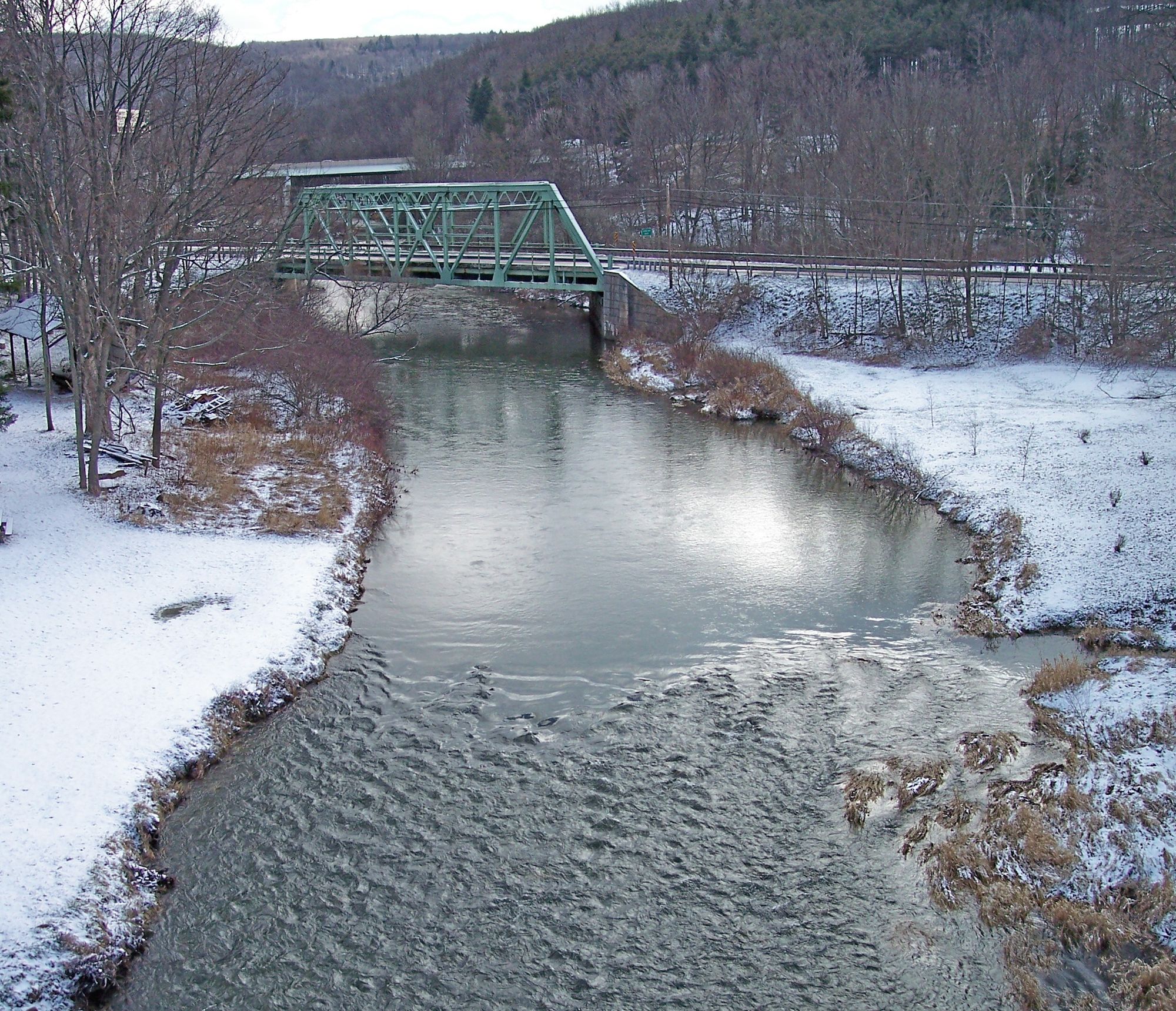
Casselman River
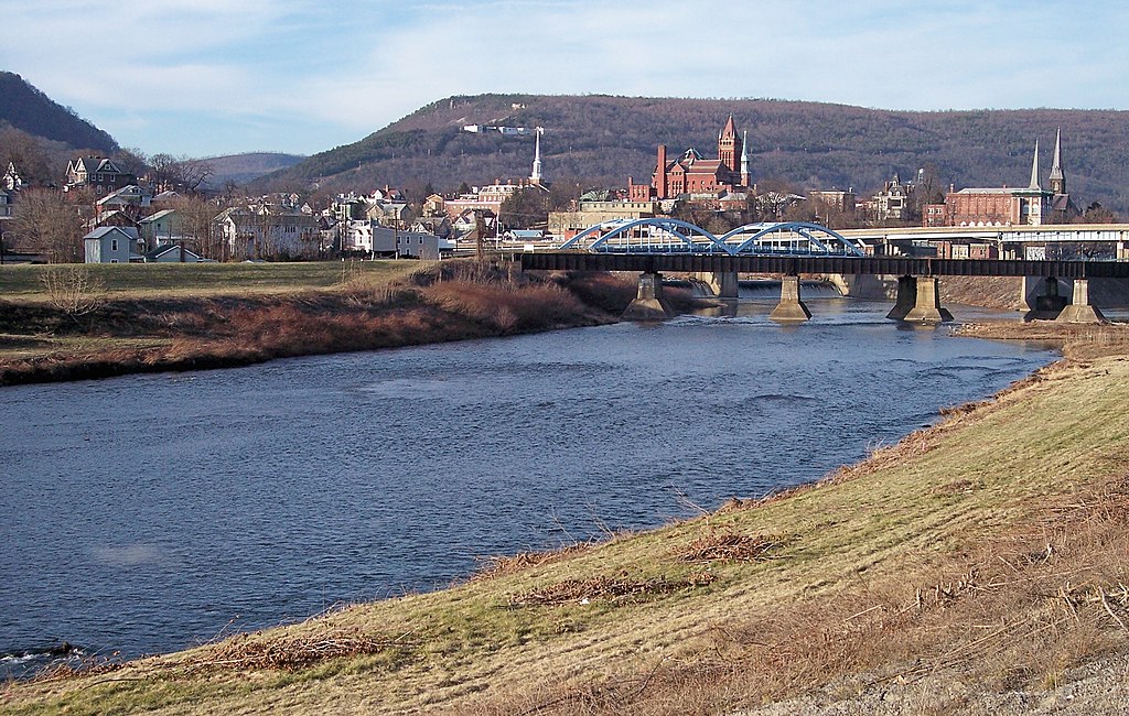
North Branch Potomac River
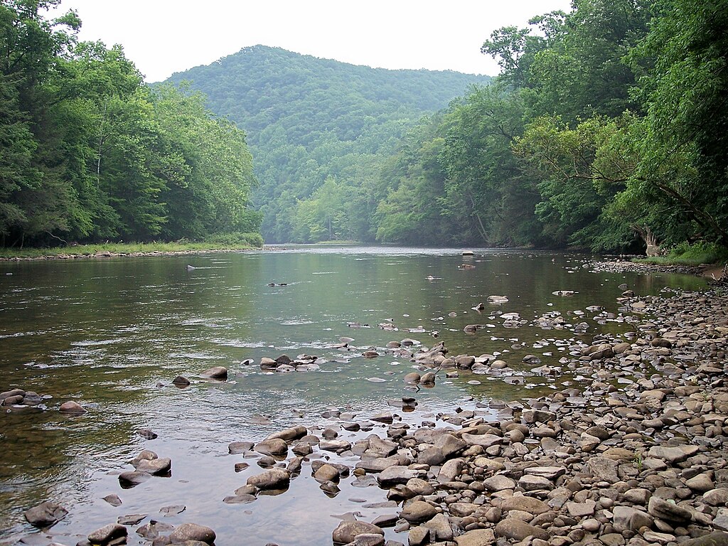
Shavers Fork
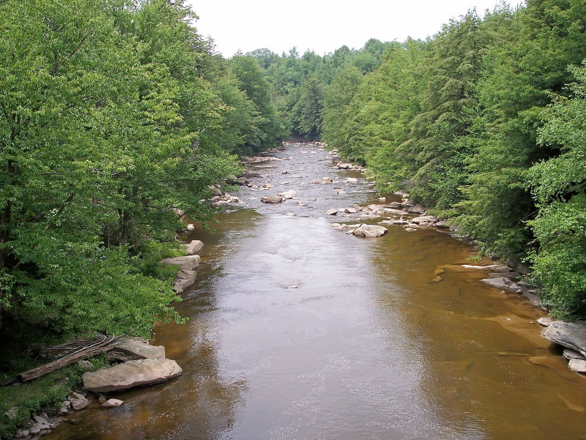
Blackwater River
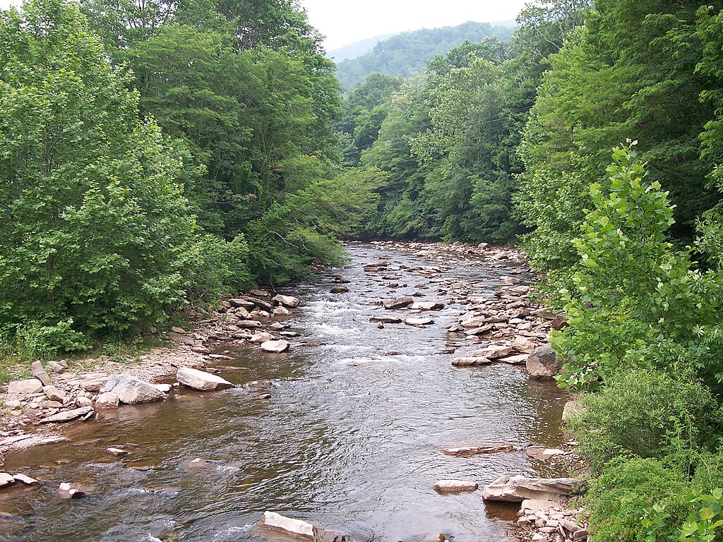
Dry Fork
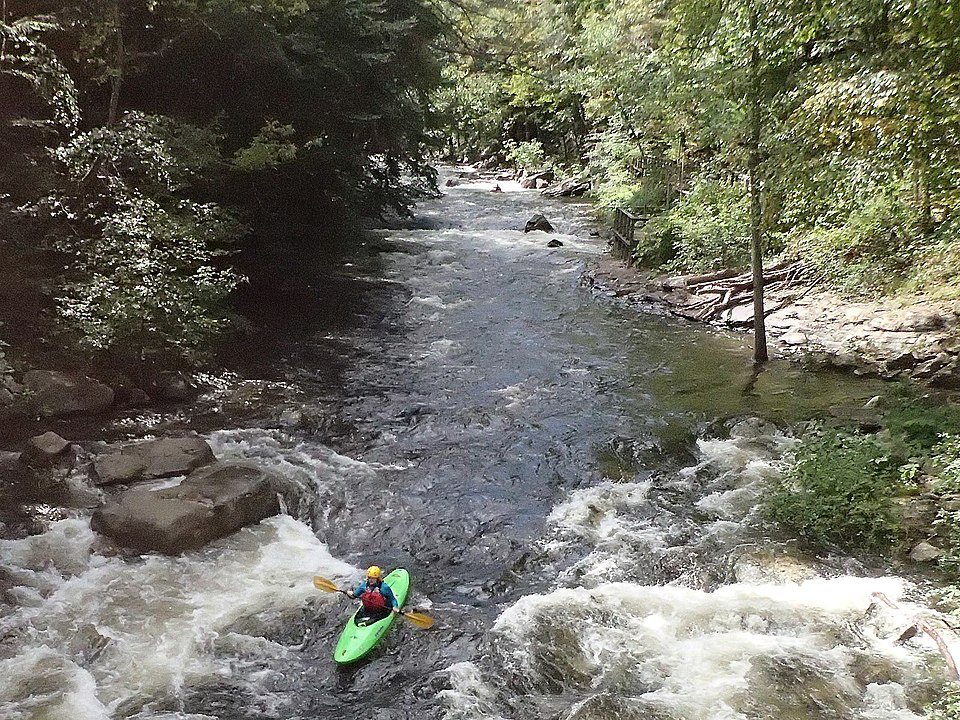
Savage River
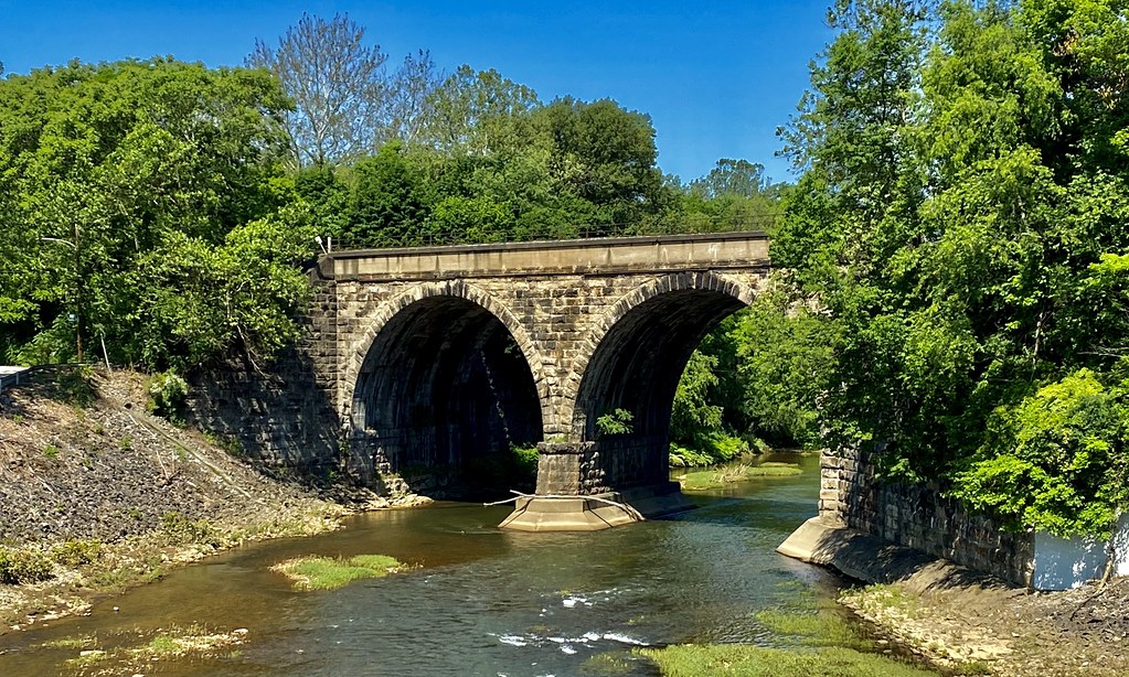
Loyalhanna Creek
Explore West Virginia waters
Top paddling waters
Popular Cities
Loading popular cities...
Explore near West Fork River
Access points
- Clarksburg Baseball Complex Boat Ramp
- West Milford Dam Boat Ramp
- Two Lick Dam Boat Ramp
- West Milford Slide Boat Ramp
- Highland Dam Boat Ramp
- Middle Run Bridge Boat Ramp
- Stonewall Jackson Lake Boat Ramp
- Highland Slide Boat Ramp
- Worthington City Park Upstream Boat Ramp
- Limestone Run Boat Ramp
- Hartland Dam Boat Ramp
- Jackson Mill Boat Ramp
- All 38 spots
Nearby waters
More in West Virginia

Smarter Paddling Starts in the App.
Paddleways gives you everything you need to plan smarter, paddle better, and own every trip from first launch to takeout.