Vermilion River
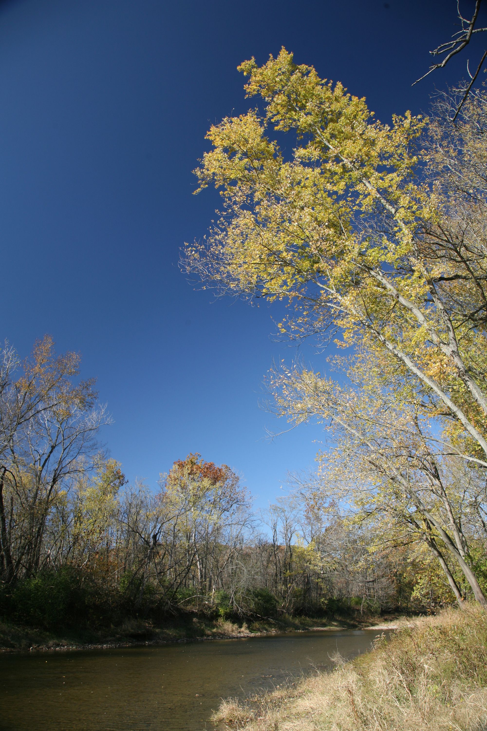
Vermilion River
- Boat Ramps
- 8
- Access Points
- 13
- Campsites
- 3
The Vermilion River is a scenic waterway in northern Ohio that flows northward for approximately 60 miles before emptying into Lake Erie. Originating in Ashland County, the river winds through Huron and Erie counties, carving a picturesque gorge through sandstone cliffs as it approaches Lake Erie.
Paddling opportunities on the Vermilion range from peaceful flatwater sections to more challenging Class I-II rapids, making it suitable for a variety of skill levels. The most popular paddling section runs 8 miles from Schoepfle Gardens in Birmingham to Mill Hollow Bacon Woods near Vermilion, featuring an exciting mix of gentle rapids and calm pools flanked by wooded hillsides. This stretch hosts an annual canoe and kayak race organized by the Keelhaulers club.
The river is typically best paddled in spring and early summer when water levels are higher, though some sections remain navigable into fall. Paddlers should check water levels, as the river can become quite shallow during dry periods.
The Vermilion's forested corridor provides habitat for diverse wildlife, including great blue herons, bald eagles, and various fish species. The sandstone cliffs lining the river gorge showcase interesting geological formations and are home to unique plant communities.
Key access points include Schoepfle Gardens in Birmingham, Mill Hollow Park, and the Vermilion Boat Ramp near the river's mouth. The nearby towns of Wakeman, Birmingham, and Vermilion offer amenities for paddlers.
For a longer paddling experience, the Vermilion-Lorain Water Trail combines river paddling on the Vermilion with open water travel along Lake Erie's shoreline. This unique trail, dedicated in 2009, stretches approximately 20 miles from the Vermilion River Reservation to the mouth of the Black River in Lorain.
Paddlers should be aware of potential strainers and log jams, especially after high water events. As with all paddling, wearing a personal flotation device is essential. The river's proximity to Lake Erie can lead to rapidly changing weather conditions, so checking forecasts is advisable.
The Vermilion River offers an excellent blend of natural beauty, mild whitewater, and rich local history, making it a cherished paddling destination in northern Ohio.
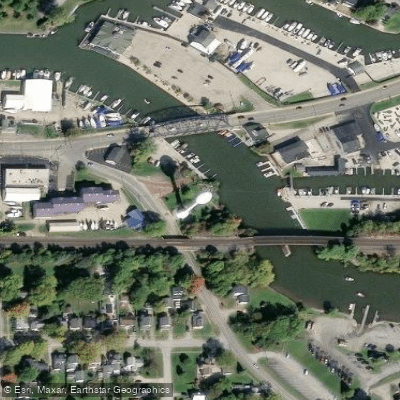
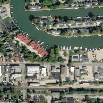
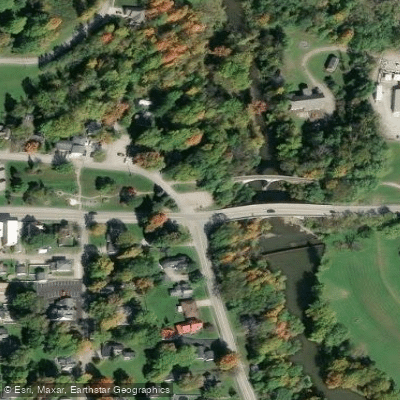
Water access, boat ramps & amenities
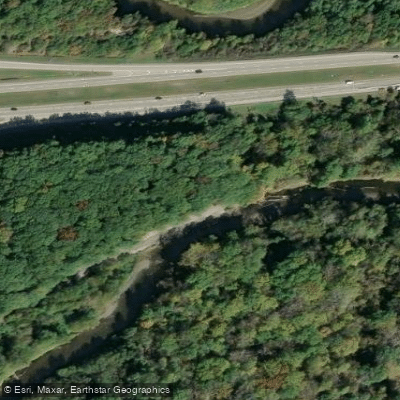
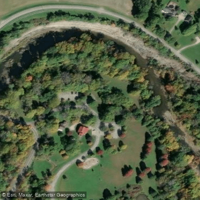
Learn how to get on Vermilion River. Uncover great paddling access points, boat ramps, and all the facilities you need for an unforgettable day on the water. Some locations shown may border or include private property. Always check property boundaries and applicable regulations before visiting. PaddleWays's Public & Private Land layer can help you plan your access with confidence.
Paddle smarter with real-time insights
Whether you're en route and conditions shift or you're looking for the best spot based on current flows, we enable you to make informed decisions on the fly.








Find Places to Paddle

Over 400,000 Places to Paddle
Every user gets free access to launch points, boat ramps, and public property parcels.


Water and weather conditions (10 day forecast)
See the best times to paddle Vermilion River and check the forecast before you go.
Vermilion River near Vermilion OH
Paddling near Vermilion River

Lake Erie
Cuyahoga River
East Branch Rocky River
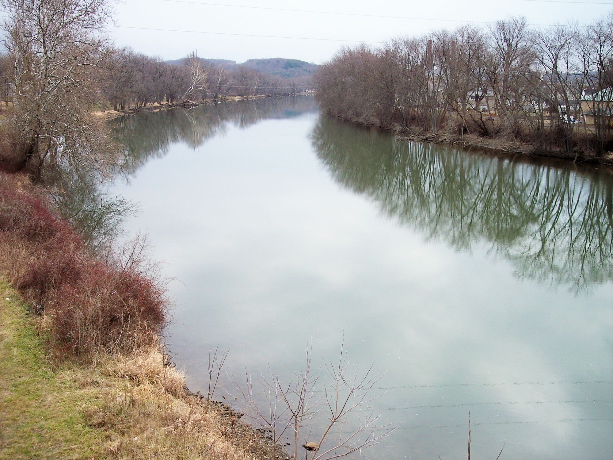
Tuscarawas River
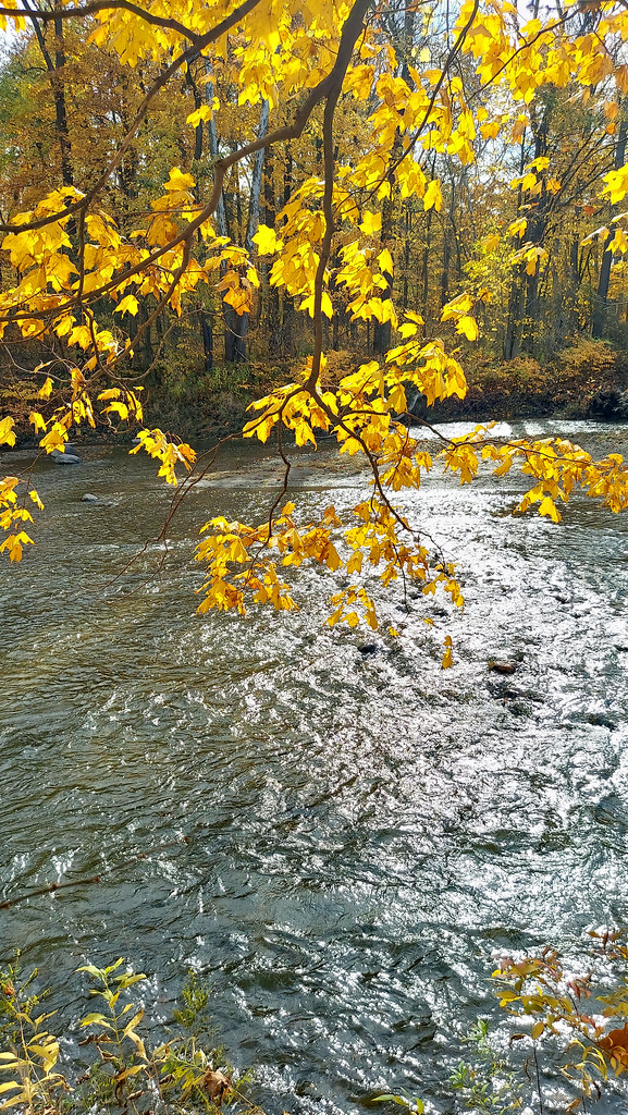
Chagrin River
Portage River
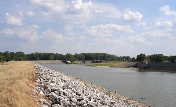
Sandusky River
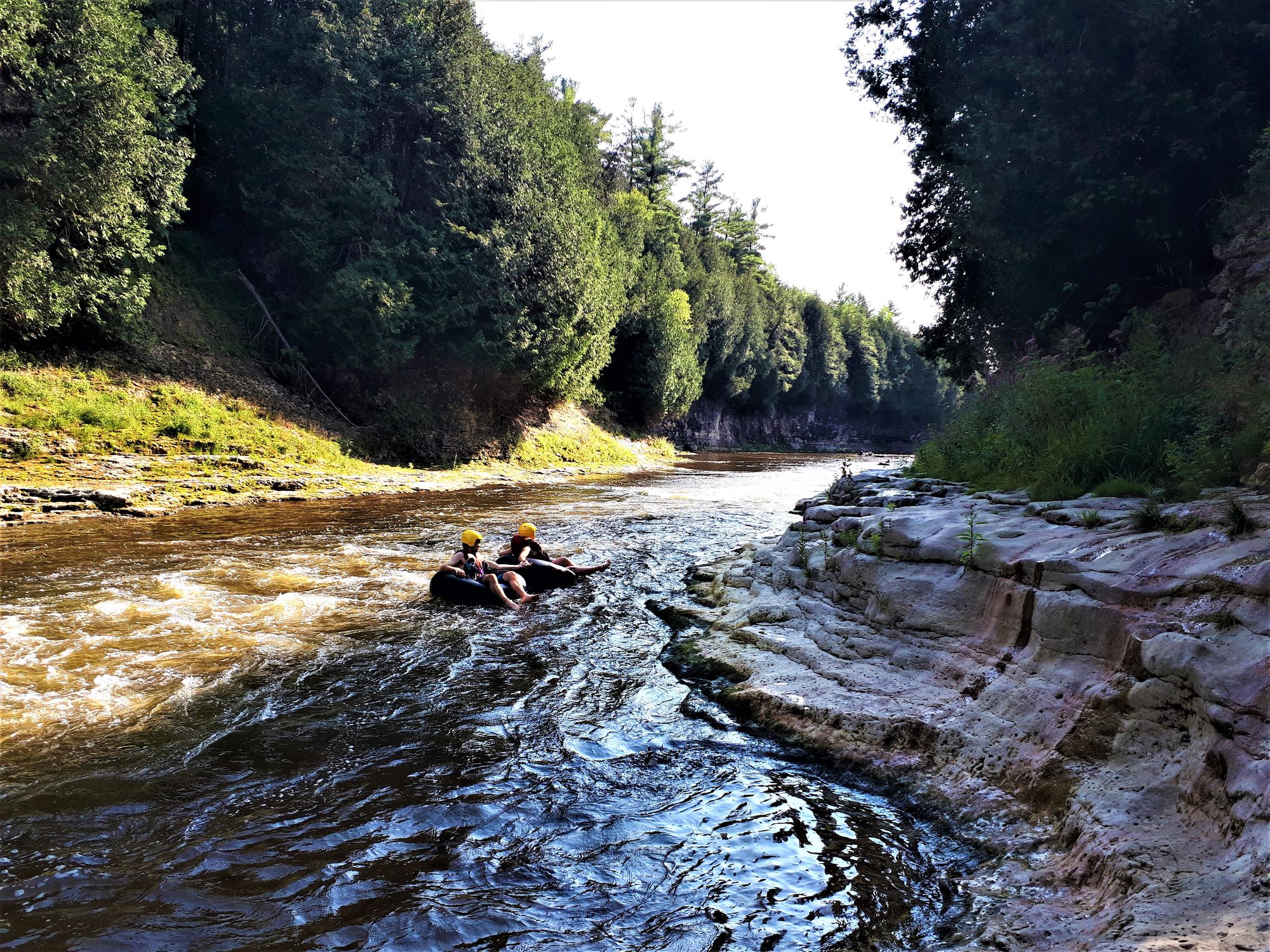
Grand River
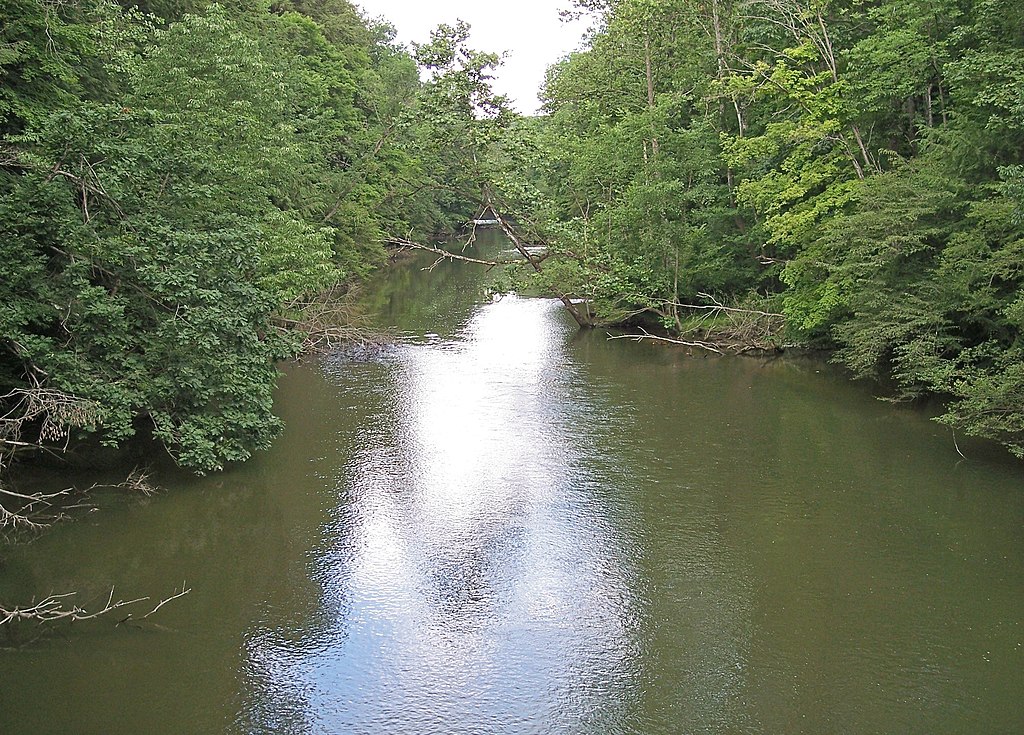
Clear Fork Mohican River
Explore Ohio waters
Top paddling waters
Popular Cities
Loading popular cities...
Explore near Vermilion River
Access points
- Vermilion River Boat Ramp
- Vermilion River Boat Ramp
- Vermilion River Boat Ramp
- Vermilion River Boat Ramp
- Vermilion River Boat Ramp
- Bulans Boatyard Boat Ramp
- Valley Harbor Marina Boat Ramp
- Mario's Landing Boat Ramp
- Vermillion Rotary Centennial Park Access
- Exchange Park Access
- South Railroad Street Access
- Metro Parks Access
- All 117 spots
Nearby waters
More in Ohio

Smarter Paddling Starts in the App.
Paddleways gives you everything you need to plan smarter, paddle better, and own every trip from first launch to takeout.