Four Mile Creek
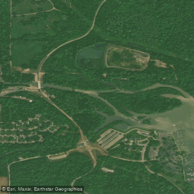
Four Mile Creek
- Boat Ramps
- 2
- Access Points
- 4
- Campsites
- 5
Four Mile Creek is a scenic waterway located in Butler County, southwestern Ohio. This tributary of the Great Miami River flows generally southward through rural and forested landscapes before joining the Great Miami near Hamilton, Ohio. Paddling on Four Mile Creek offers primarily flatwater experiences, making it ideal for beginners and those seeking a relaxed journey.
The Sycamore Bluffs Area of Four Mile Creek MetroPark, opened in July 2023, offers the most developed access point for paddlers. This 200-acre preserve features a dedicated canoe and kayak launch, allowing easy entry to explore the creek's gentle waters flanked by impressive sycamore trees and scenic bluffs.
The creek's difficulty is generally rated as flatwater, suitable for novices and families. However, water levels can fluctuate seasonally, so paddlers should check conditions before embarking. Spring and early summer typically offer the most reliable water levels, while late summer and fall may see lower flows.
The creek is lined with beautiful sycamore trees, creating a picturesque canopy over the water. The surrounding parklands protect a variety of native plant species and provide habitat for local wildlife. A key landmark is the Black Covered Bridge near the Mill Race Preserve Area, offering a glimpse into the region's historical architecture. The Antenen Nature Preserve Area provides additional creek access.
Access points are primarily located within the Four Mile Creek MetroPark system. The main put-in at Sycamore Bluffs Area (3742 Lanes Mill Rd, Oxford, OH 45056) is the most developed launch site. Other potential access points exist near Bonham Rd and Darrtown Rd, though exact locations may require local knowledge to utilize effectively.
Four Mile Creek is an important part of Butler County's natural heritage, with the MetroParks system working to preserve and provide public access to this waterway. The recent development of paddling access points demonstrates a growing interest in recreational use of the creek.
Safety considerations include checking water levels and weather conditions before paddling, as well as being aware of potential strainers or obstacles, particularly in less developed sections of the creek. Regulations for use are set by the MetroParks of Butler County and should be reviewed before planning a trip.
While multi-day trips are not typical on Four Mile Creek due to its size, the various access points within the MetroPark system allow for customizable day-trip experiences, ranging from short floats to longer explorations of the creek's scenic stretches.
Water access, boat ramps & amenities
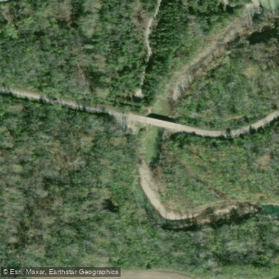
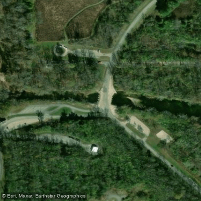
Learn how to get on Four Mile Creek. Uncover great paddling access points, boat ramps, and all the facilities you need for an unforgettable day on the water. Some locations shown may border or include private property. Always check property boundaries and applicable regulations before visiting. PaddleWays's Public & Private Land layer can help you plan your access with confidence.
Paddle smarter with real-time insights
Whether you're en route and conditions shift or you're looking for the best spot based on current flows, we enable you to make informed decisions on the fly.








Find Places to Paddle

Over 400,000 Places to Paddle
Every user gets free access to launch points, boat ramps, and public property parcels.


Water and weather conditions (10 day forecast)
See the best times to paddle Four Mile Creek and check the forecast before you go.
No forecast data available.
Paddling near Four Mile Creek
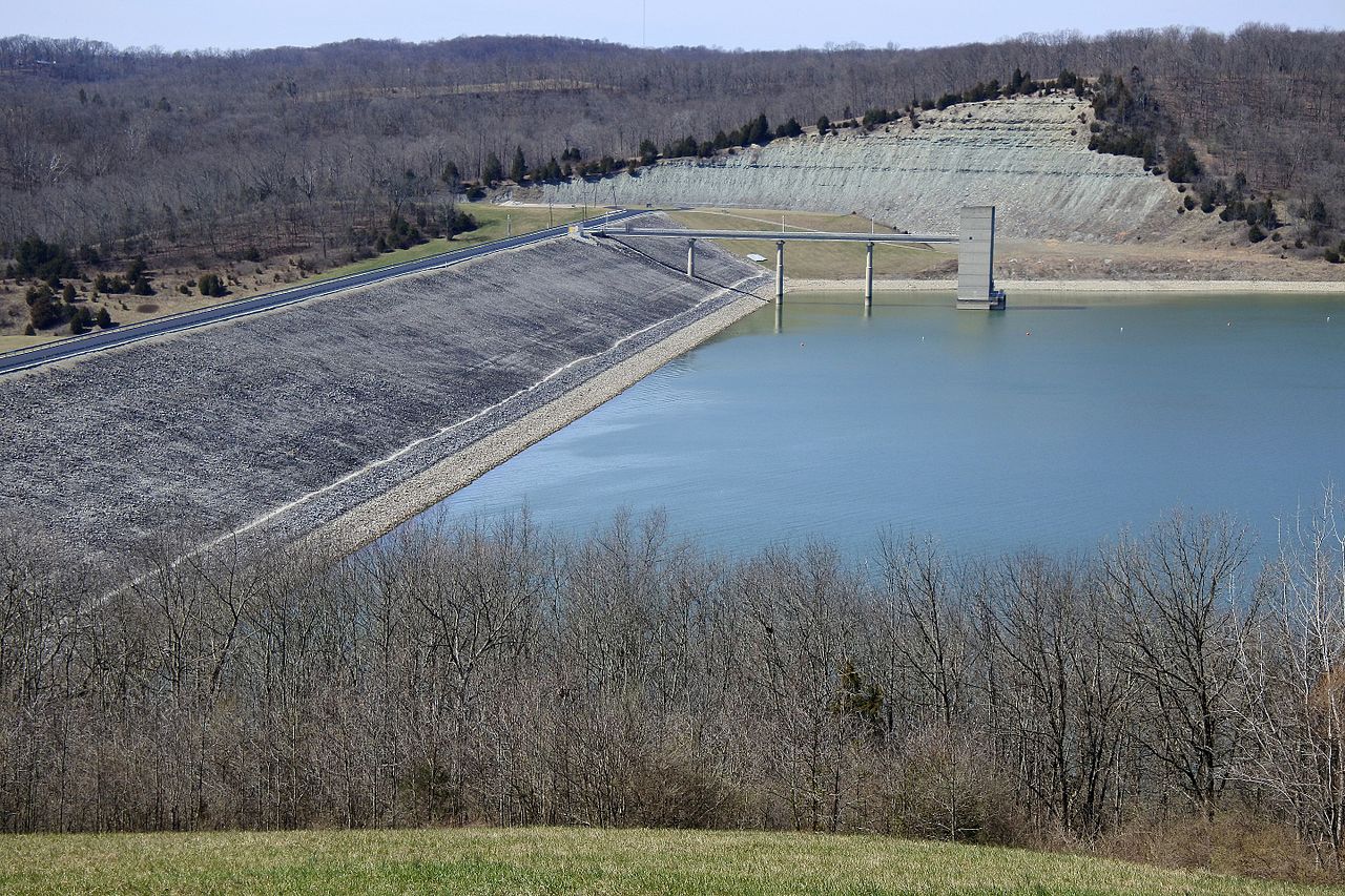
Brookville Lake

Ohio River

White River
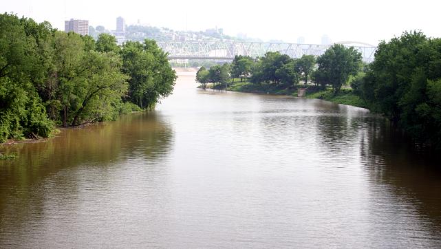
Licking River
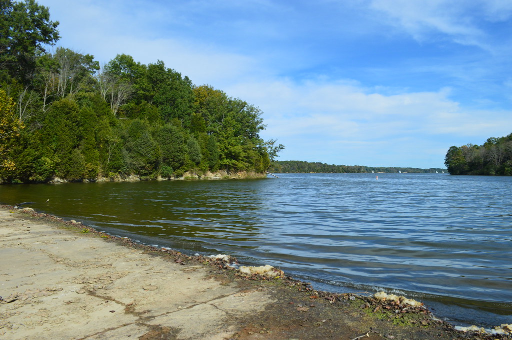
Cowan Lake
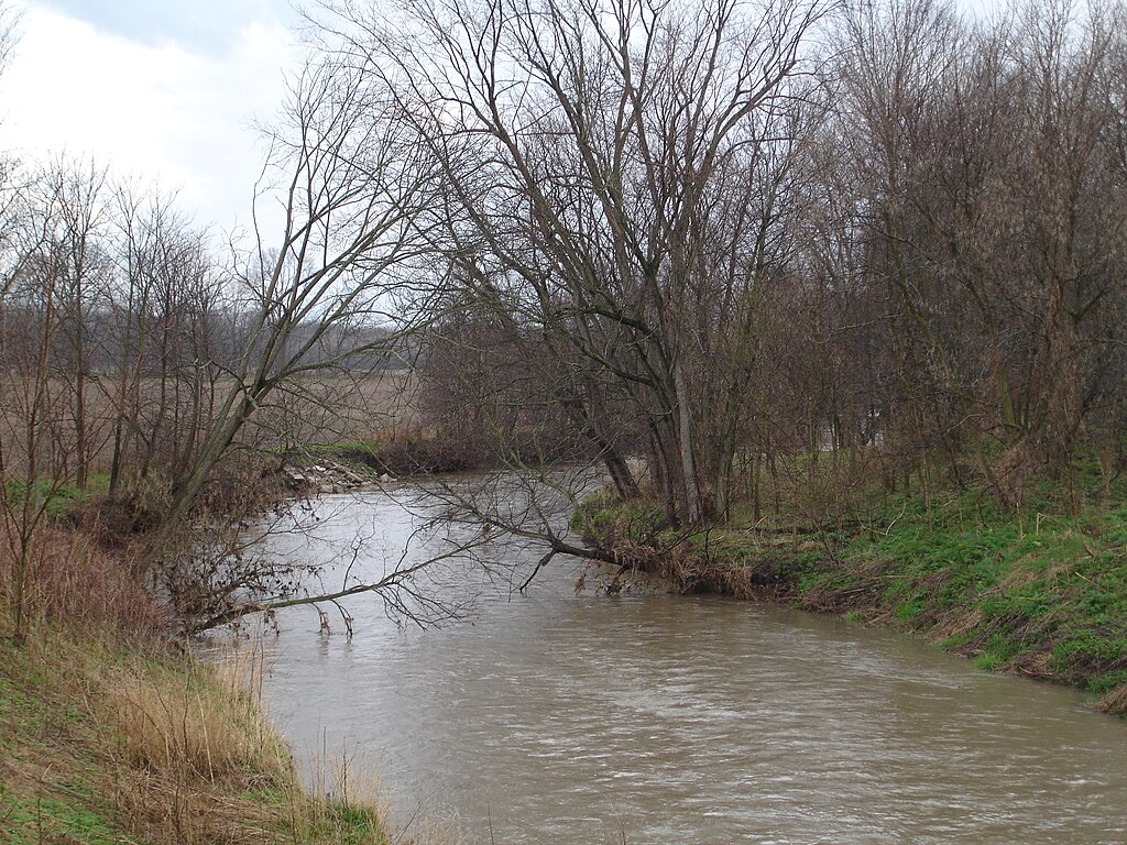
Big Blue River
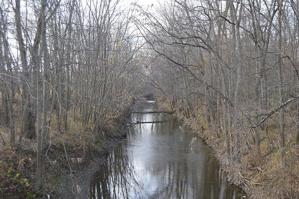
Stillwater River
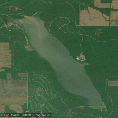
Acton Lake
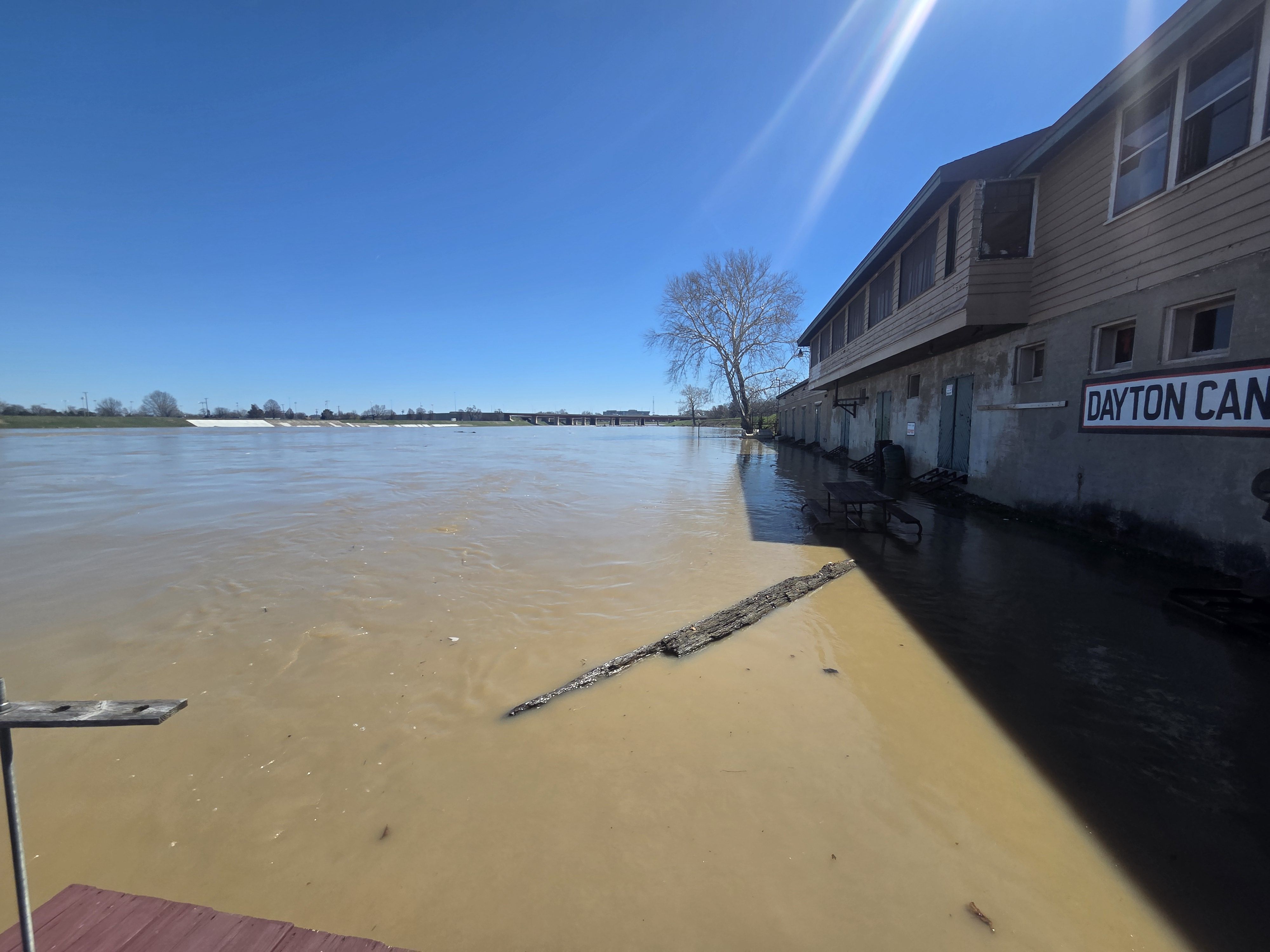
Great Miami River
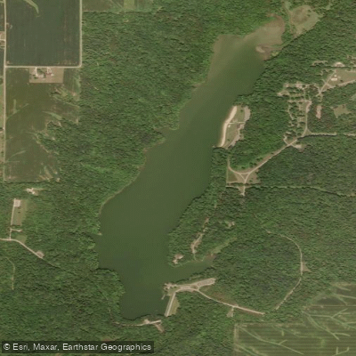
Whitewater Lake
Explore Ohio waters
Top paddling waters
Popular Cities
Loading popular cities...
Explore near Four Mile Creek
Access points
- Four-mile Creek Canoe Launch
- Hueston Woods State Park Boat Ramp
- Hueston Woods State Park Access
- Hueston Woods State Park Access
- Four Mile Creek Bridge
- Four Mile Creek Bridge
- Four Mile Creek Bridge
- Four Mile Creek Bridge
- Four Mile Creek Bridge
- Four Mile Creek Bridge
- Four Mile Cr Hueston Wd Bridge
- Four Mile Creek Bridge
- All 156 spots
Nearby waters
More in Ohio

Smarter Paddling Starts in the App.
Paddleways gives you everything you need to plan smarter, paddle better, and own every trip from first launch to takeout.