Lake Milton
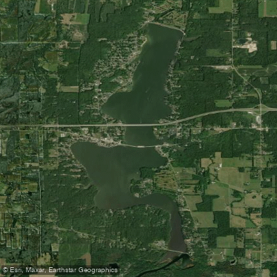
Lake Milton
- Boat Ramps
- 5
- Access Points
- 11
- Campsites
- 4
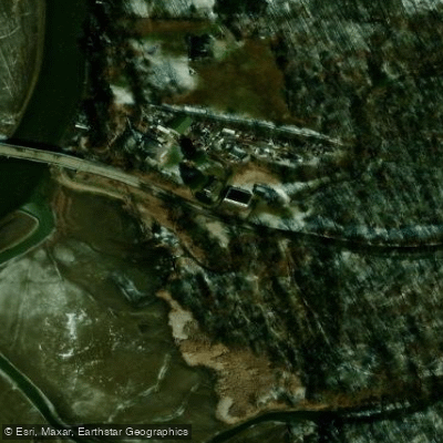
Lake Milton State Park in northeast Ohio offers 1,685 acres of recreational waters for paddling enthusiasts. The lake features three boat launch ramps providing easy access. Kayakers and canoers share the water with motorized boats, as the lake has no horsepower restrictions. Paddlers can explore a section of the Mahoning River at the lake's southern end.
The 600-foot beach area provides amenities including restrooms, changing facilities, and showers. A marina offers fuel and 100 seasonal docks. Fishing is popular, with species including walleye, largemouth bass, bluegill, crappie, and channel catfish.
Wildlife observers may spot cottontail rabbits, red foxes, raccoons, muskrats, and woodchucks along the shoreline. The lake's diverse bird population includes robins, warblers, hawks, and owls. Reptiles such as midland painted turtles and northern watersnakes inhabit the area.
Lake Milton typically experiences a 8-foot water level drop in winter, with drawdown beginning around October 15 and refilling starting March 15, weather permitting. Paddlers should be aware of this seasonal fluctuation when planning trips.
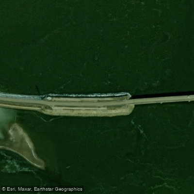
The park's history dates back to 1913 when a 2,800-foot dam was constructed to create a water supply for Youngstown. Today, the lake's scenic shoreline provides habitat for waterfowl and shorebirds, offering picturesque views for paddlers.
Park hours are 6 am to 11 pm daily, though visitors may engage in legitimate recreational activities outside these hours. For up-to-date information on lake conditions, paddlers can check the US Army Corps of Engineers' Daily Reservoir Summary.
Water access, boat ramps & amenities
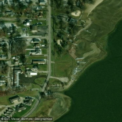
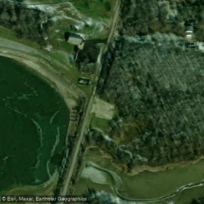
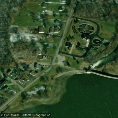
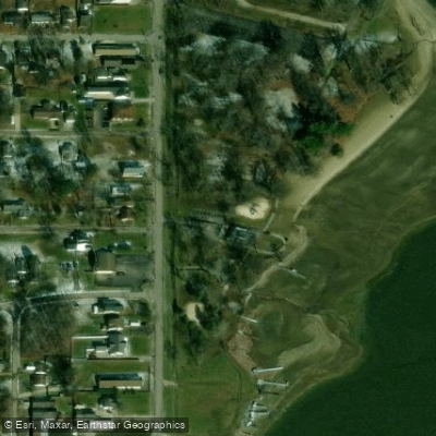
Learn how to get on Lake Milton. Uncover great paddling access points, boat ramps, and all the facilities you need for an unforgettable day on the water. Some locations shown may border or include private property. Always check property boundaries and applicable regulations before visiting. PaddleWays's Public & Private Land layer can help you plan your access with confidence.
Paddle smarter with real-time insights
Whether you're en route and conditions shift or you're looking for the best spot based on current flows, we enable you to make informed decisions on the fly.








Find Places to Paddle

Over 400,000 Places to Paddle
Every user gets free access to launch points, boat ramps, and public property parcels.


Water and weather conditions (10 day forecast)
See the best times to paddle Lake Milton and check the forecast before you go.
No forecast data available.
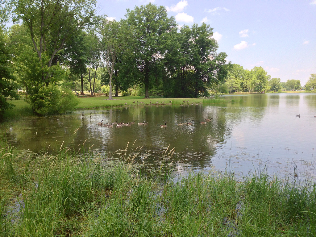
Paddling near Lake Milton
Mosquito Creek Lake
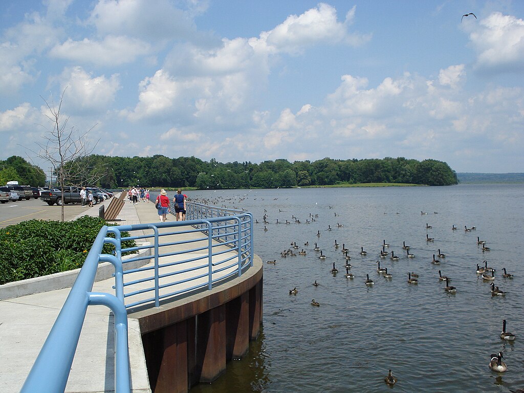
Pymatuning Reservoir
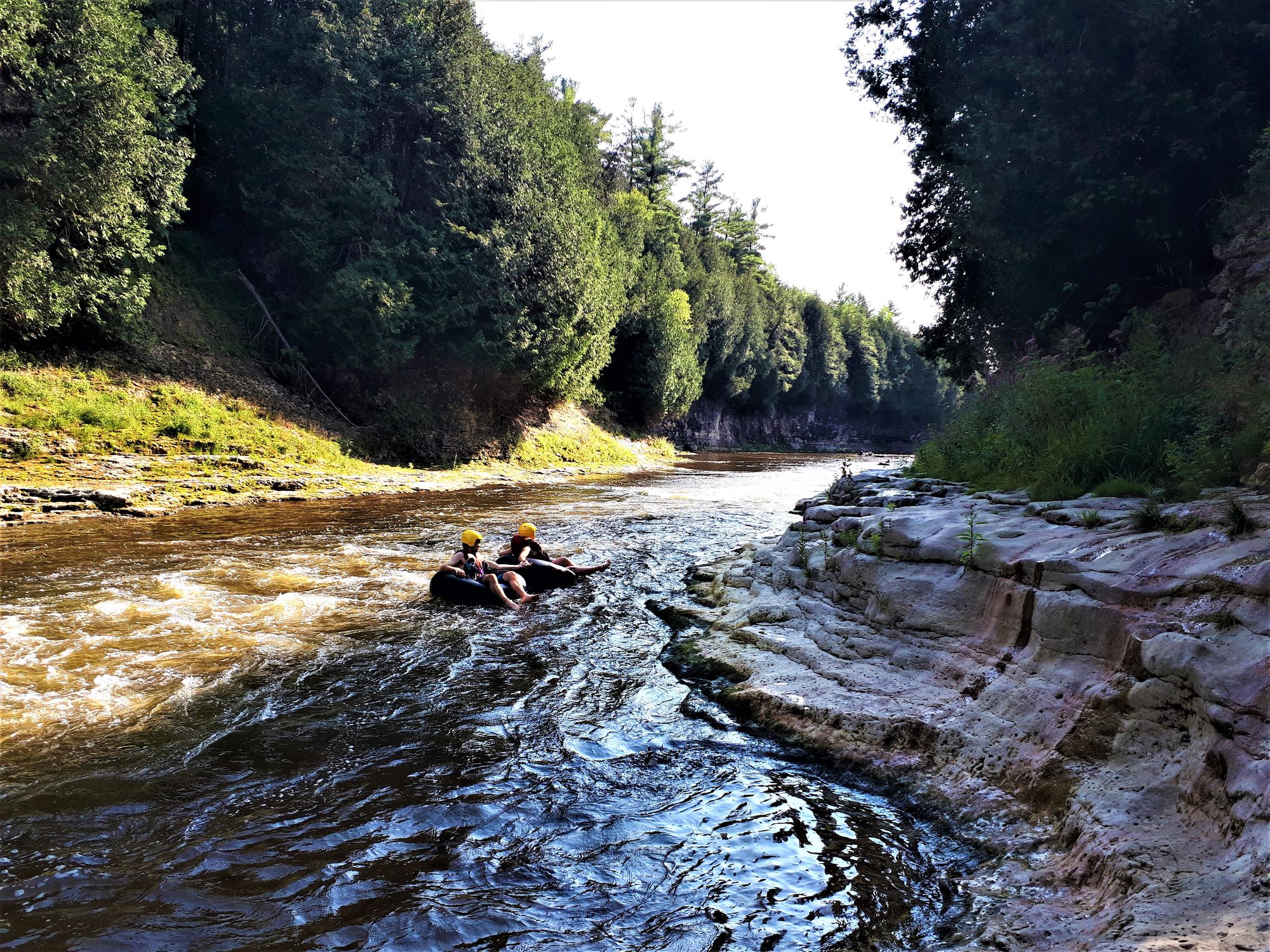
Grand River
Lake Wilhelm
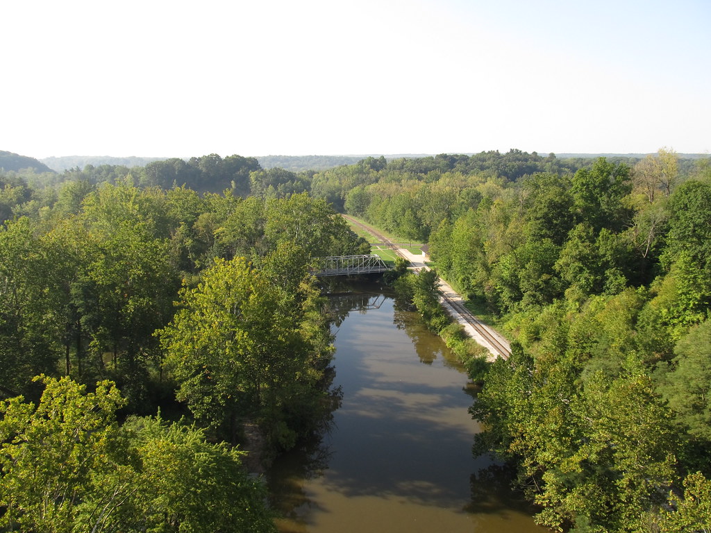
Cuyahoga River
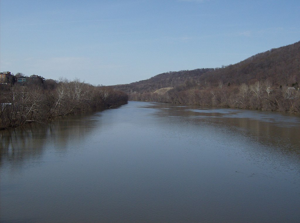
Beaver River
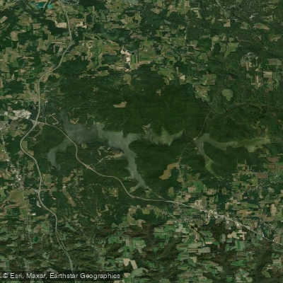
Lake Arthur

Lake Erie

Ohio River
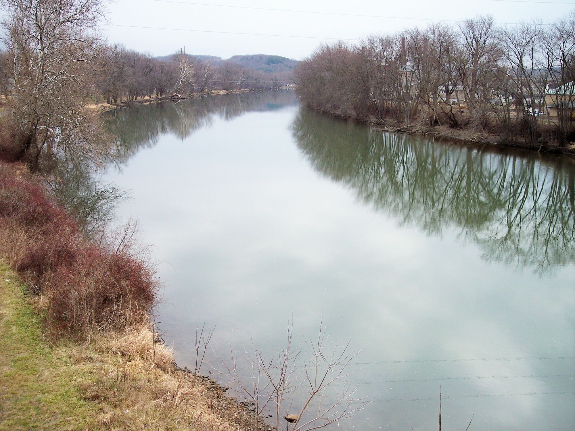
Tuscarawas River
Explore Ohio waters
Top paddling waters
Popular Cities
Loading popular cities...
Explore near Lake Milton
Access points
- Lake Milton State Park Marina Boat Ramp
- Fishing Access Boat Ramp
- Jersey Street Boat Ramp
- Lake Milton State Park Boat Ramp
- Lake Milton State Park Boat Ramp
- Lake Milton State Park Access
- Lake Milton State Park Access
- Ellsworth Road Access
- Lake Milton State Park Access
- Lake Milton State Park Access
- Lake Milton State Park Access
- Milton Reservoir Bridge
- All 46 spots
Nearby waters
More in Ohio

Smarter Paddling Starts in the App.
Paddleways gives you everything you need to plan smarter, paddle better, and own every trip from first launch to takeout.