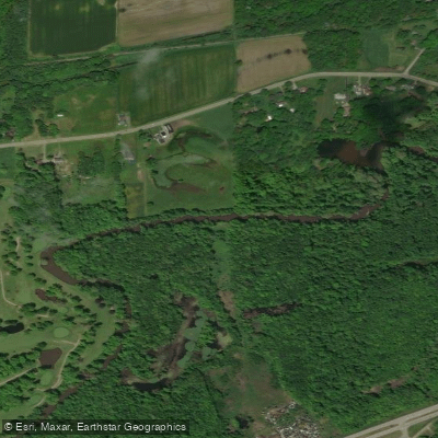
Curated by PaddleWays
RouteFlatwater
- Distance
- 3.8 mi
- Paddle time
- 2 hrs
- Best for
- Kayak
- Put-in → take-out
- Struthers → E Water Street Boat Ramp
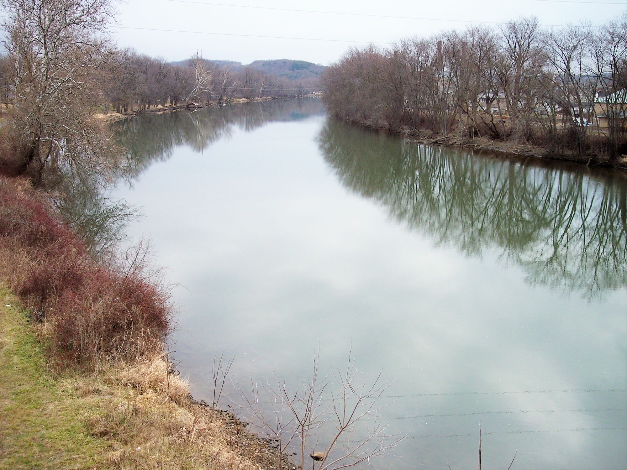
The Mahoning River originates in Columbiana County, Ohio and flows northward through eastern Ohio before turning southeast into Pennsylvania, eventually joining the Shenango River to form the Beaver River. Major tributaries include the West Branch Mahoning River and Eagle Creek. The river is approximately 113 miles long and drains a watershed of over 1,130 square miles.
Paddling opportunities abound along the Mahoning, with several popular sections for canoeists and kayakers. The East Branch Mahoning River Water Trail offers a scenic 23-mile stretch from Newton Township to Warren, Ohio. Another favored route is the 9-mile section from Lowellville, Ohio to Coverts Crossing in Pennsylvania. The river's difficulty ranges from flatwater to Class II rapids, making it suitable for beginners to intermediate paddlers. Spring and early summer typically offer the best water levels for paddling, though sections like Lake Milton are navigable year-round.
The river corridor supports a diverse ecosystem, with sycamore, maple, and eastern cottonwood trees lining the banks. Wildlife sightings may include deer, turkey, and various bird species. Key landmarks include the historic B&O Station in Youngstown, the Lake Milton Dam, and the CASTLO Industrial Park. Major access points are found in Lowellville, Struthers, Leavittsburg, and Warren, Ohio, as well as near the Pennsylvania border.
The Mahoning River played a crucial role in the region's industrial development, powering steel mills and other industries throughout the 20th century. Recent restoration efforts, including dam removals, have improved water quality and recreational opportunities. Safety considerations include checking water levels and being aware of remaining low-head dams. Paddlers should also be cautious of occasional bridge construction projects that may affect river access.
For those seeking a multi-day adventure, it's possible to paddle from Lake Milton to Newton Falls, a distance of approximately 13 miles, with camping options available at nearby state parks. The Mahoning River offers a blend of urban and natural paddling experiences, making it a valuable recreational resource for northeastern Ohio and western Pennsylvania.
Curated routes
Hand-picked by the PaddleWays team, with put-ins, take-outs, paddle times and the hazards along the way.
RouteFlatwater
RouteClass II
RouteFlatwater
Hazards
No paddler has reported a hazard here yet, so these are the dams, falls and big rapids on our map. Hazards change with flows and storms, so check them before you launch.
From the community
Real trips from PaddleWays paddlers: which route they ran, how the flows were, and what to watch for.
Loading trip reports
Craig S.
Kayak •

Ashley D.
449 cfs at West Ave
Bridge Street Boat Ramp to Bridge Street Boat Ramp
Ashley D.
449 cfs at West Ave
Girard Boat Ramp to Struthers Community Boat Ramp
Toni V.
2,270 cfs at Lowellville
McKinney to Mt Jackson
See exactly where the public can get on and off the river. Launch points and boat ramps are paired with PaddleWays' public land data so you know where you can legally land.
Public shoreline
22%of the river's shoreline is public
Most of the riverbank is private. Launch, land and camp only at public access points.
Flows, weather and a route-by-route verdict, so you know which stretch of the Mahoning River is worth paddling today.
All Flow Stations
Live flows, marked hazards and fresh trip reports from paddlers who were just on the water, all in one place.





Every user gets free access to launch points, boat ramps, and public property parcels.

Loading popular cities...
PaddleWays gives you everything you need to plan smarter, paddle better, and own every trip from first launch to takeout.