Wills Creek Lake
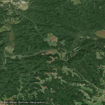
Wills Creek Lake
- Boat Ramps
- 3
- Access Points
- 3
- Campsites
- 0
Wills Creek Lake, a 900-acre impoundment in Coshocton and Muskingum counties, Ohio, offers limited but accessible paddling opportunities. The lake features a public boat launch on State Route 83, operated by the Muskingum Watershed Conservancy District (MWCD). A 10-horsepower limit for motorized vessels helps maintain relatively calm waters for paddlers.
The lake stretches across 20.3 miles of shoreline with a maximum depth of 12 feet. Created in 1936 as part of a flood control project, the lake is surrounded by 2,830 acres of rolling, forested hills that provide an attractive backdrop for paddling. The dam, managed by the U.S. Army Corps of Engineers, stands 87 feet tall and 1,950 feet long.
Essential facilities include a concrete boat ramp and parking area at the marina on SR 83. Below the dam, paddlers will find a picnic pavilion and restroom facilities. A permit is required for boating on the lake, available through MWCD.
The lake primarily serves as a flood control reservoir for the Muskingum and Ohio Rivers, which can affect water levels. The surrounding area offers opportunities to observe wildlife, and the nearby historic Roscoe Village provides cultural interest for paddlers looking to extend their visit.
Access to the lake is straightforward via State Route 83, approximately 15 miles south of Coshocton. For detailed information about access points and permits, contact the MWCD at (330) 343-6647. Note that there are no designated swimming areas or camping facilities at the lake.
Water access, boat ramps & amenities
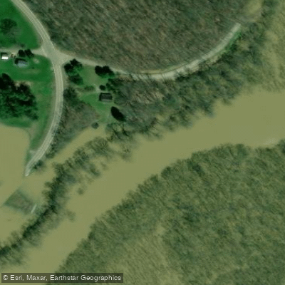
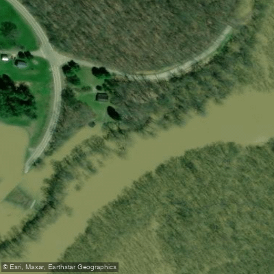
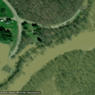
Learn how to get on Wills Creek Lake. Uncover great paddling access points, boat ramps, and all the facilities you need for an unforgettable day on the water. Some locations shown may border or include private property. Always check property boundaries and applicable regulations before visiting. PaddleWays's Public & Private Land layer can help you plan your access with confidence.
Paddle smarter with real-time insights
Whether you're en route and conditions shift or you're looking for the best spot based on current flows, we enable you to make informed decisions on the fly.








Find Places to Paddle

Over 400,000 Places to Paddle
Every user gets free access to launch points, boat ramps, and public property parcels.


Water and weather conditions (10 day forecast)
See the best times to paddle Wills Creek Lake and check the forecast before you go.
Wills Creek bl Wills Creek Dam at Wills Creek OH
Paddling near Wills Creek Lake
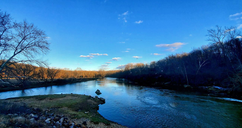
Licking River
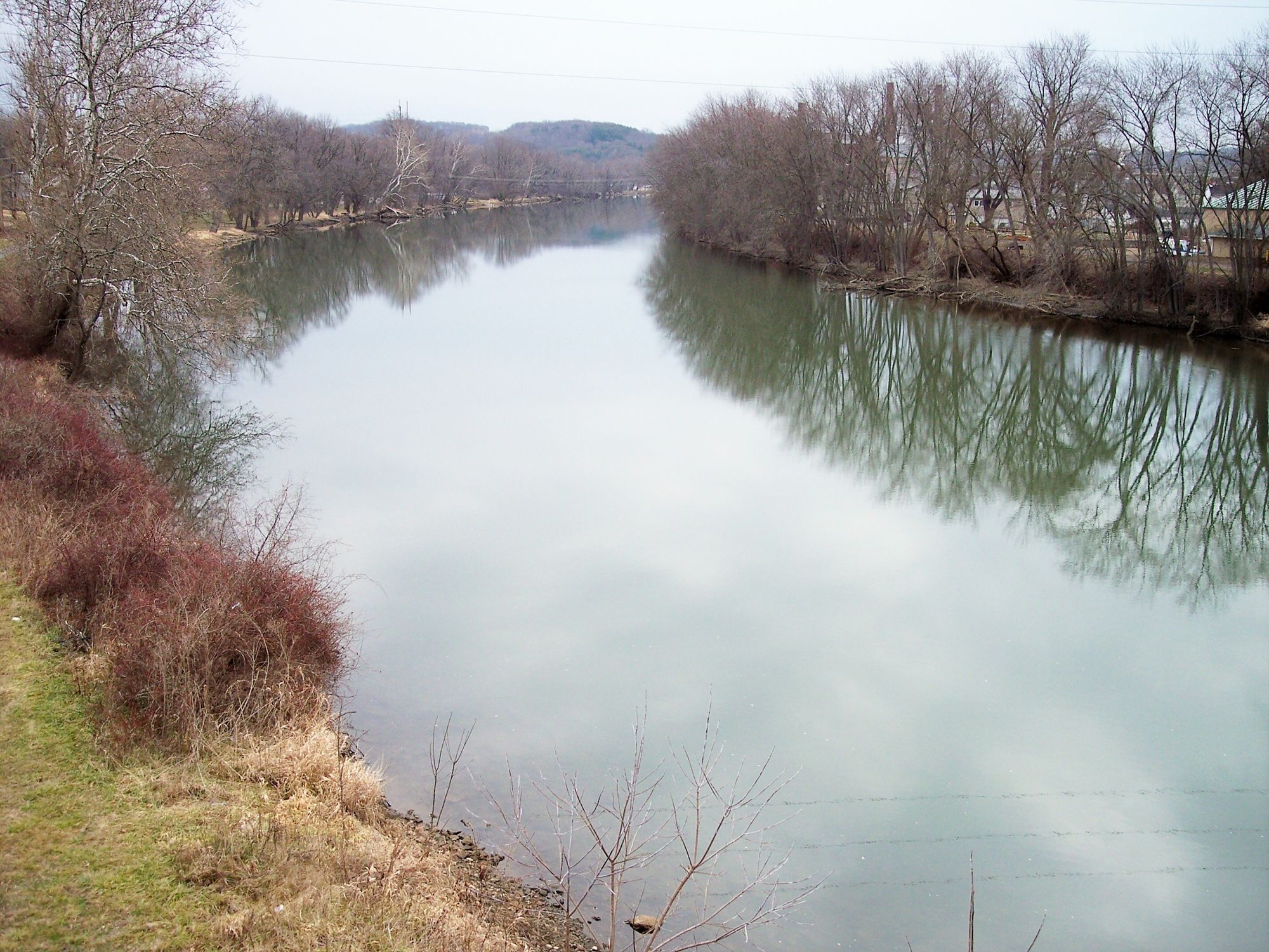
Tuscarawas River

Ohio River
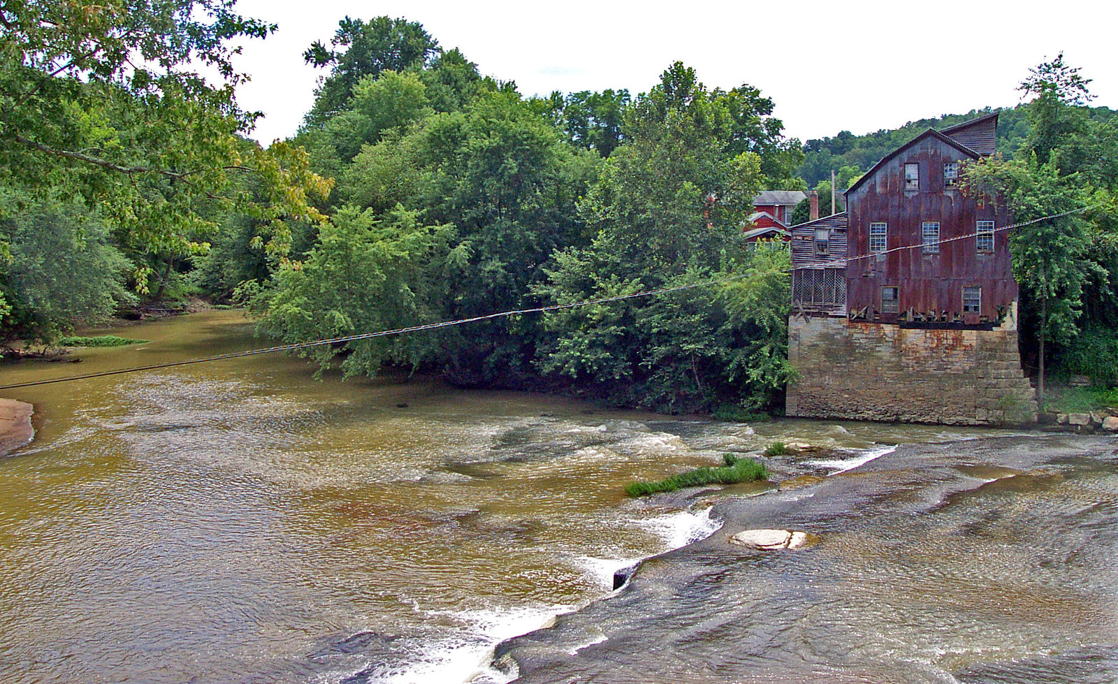
Raccoon Creek
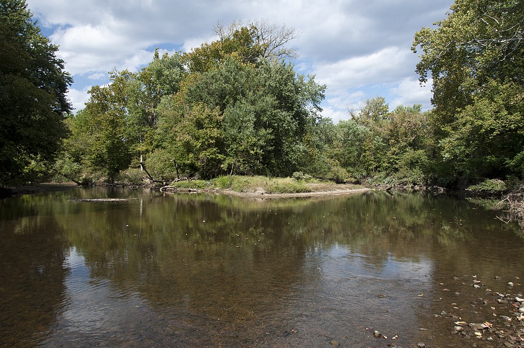
Big Walnut Creek
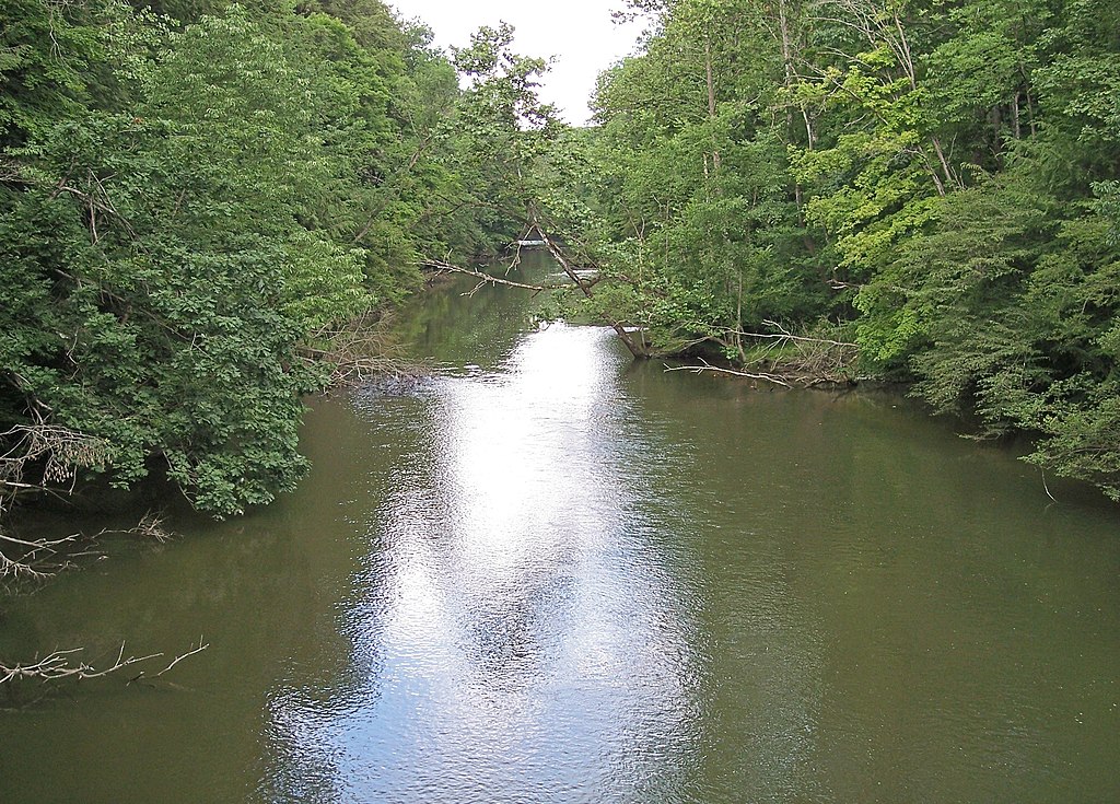
Clear Fork Mohican River
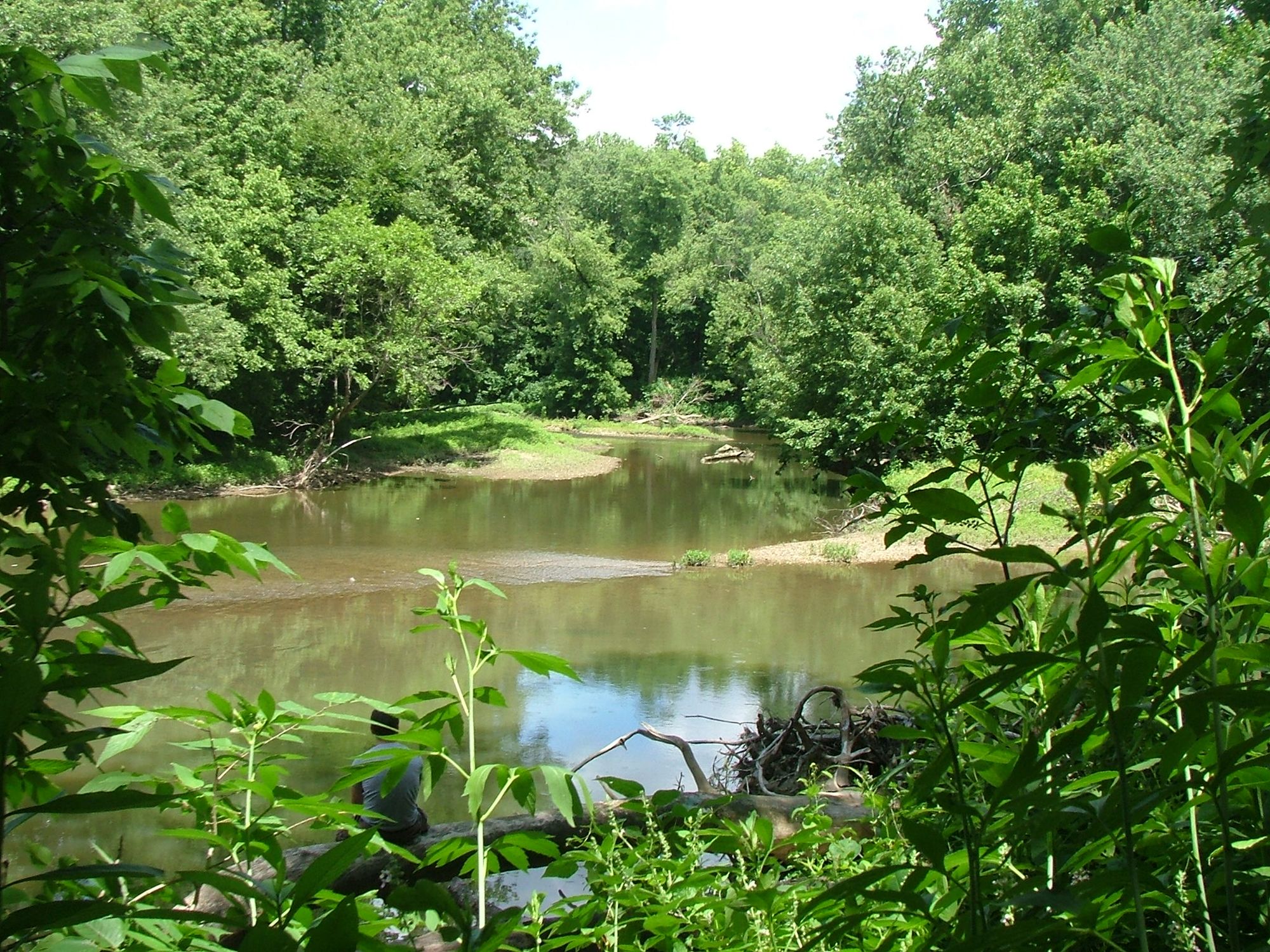
Alum Creek
Dillon Lake
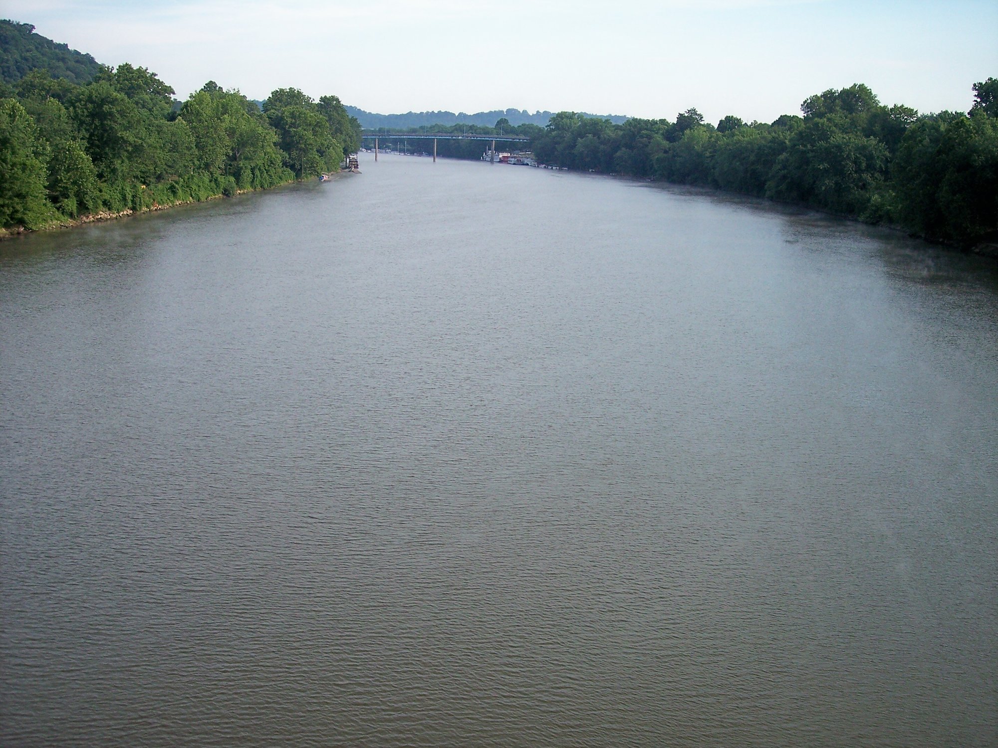
Muskingum River
Explore Ohio waters
Top paddling waters
Popular Cities
Loading popular cities...
Explore near Wills Creek Lake
Access points
- Wills Creek, Main Branch Canoe Launch
- Wills Creek Reservoir Boat Ramp
- Wills Creek Reservoir Boat Ramp
- Over Wills Creek Bridge
- Wills Creek Bridge
- White Eyes Creek Bridge
- White Eyes Creek Bridge
- White Eyes Creek Bridge
- Muskingum River Bridge
- White Eyes Creek Bridge
- Over N Br Symmes Creek Bridge
- White Eyes Creek Bridge
- All 21 spots
Nearby waters
More in Ohio

Smarter Paddling Starts in the App.
Paddleways gives you everything you need to plan smarter, paddle better, and own every trip from first launch to takeout.