Clear Fork Mohican River
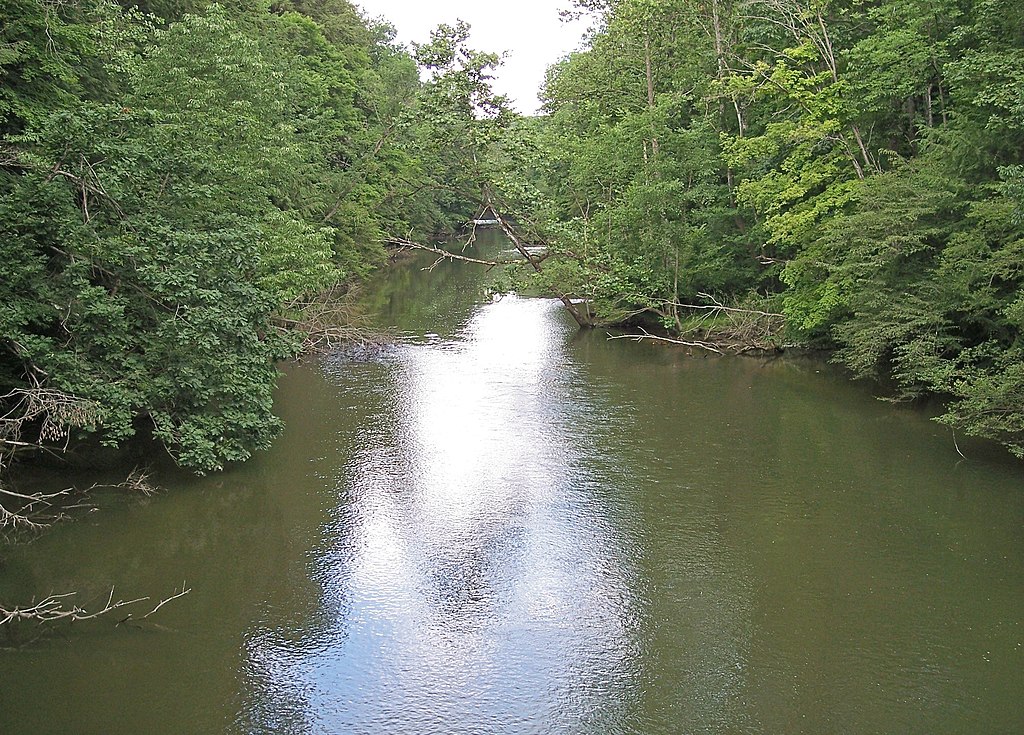
Clear Fork Mohican River
- Boat Ramps
- 8
- Access Points
- 14
- Campsites
- 5
The Clear Fork Mohican River is a scenic waterway in north-central Ohio, originating west of Interstate 71 and flowing eastward for approximately 36 miles before joining the Black Fork to form the Mohican River proper. This tributary is a key part of the larger Muskingum River watershed. Paddlers can enjoy several distinct sections of the Clear Fork, each offering its own character.
The upper stretch from near I-71 to Pine Run provides a peaceful 18-mile journey through rural landscapes, with Class II-III rapids when water levels are sufficient. The river's rocky bottom creates exciting conditions above 4 feet, while levels below 2.5 feet may require occasional dragging. The crown jewel of the Clear Fork is the spectacular 4.8-mile Clear Fork Gorge section, beginning at Pleasant Hill Dam and ending at the confluence with Black Fork. This Class I-II run takes paddlers through a dramatic 300-foot deep forested valley, offering breathtaking scenery and abundant wildlife viewing opportunities. Accessing the gorge requires a 1.5-mile paddle across Pleasant Hill Lake. For a shorter excursion, the 6-mile stretch from Bellville to Butler offers a mix of paddling and wading, ideal for a half-day trip.
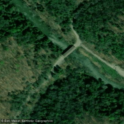
Overall, the Clear Fork ranges from Class I to III, suitable for beginner to intermediate paddlers depending on the section and conditions. Spring and early summer typically provide the best water levels for paddling. The river valley hosts diverse flora and fauna, including brown trout in some stretches. Key landmarks include Pleasant Hill Dam, Clear Fork Gorge State Nature Preserve, and the covered bridge in Mohican State Park. Primary access points include put-ins near I-71, Pleasant Hill Dam, Bellville, and take-outs at Pine Run and Butler. Nearby towns like Loudonville and Perrysville offer amenities for paddlers.
The Clear Fork and broader Mohican River system hold cultural significance, with scenic river designation initiated by local residents and businesses. The area now supports a thriving outdoor recreation economy. Paddlers should be aware of potential hazards like strainers and fluctuating water levels. Multi-day trips are possible by combining Clear Fork sections with the main stem of the Mohican River, offering up to 32 miles of continuous paddling through the heart of Ohio's scenic river country.
Water access, boat ramps & amenities
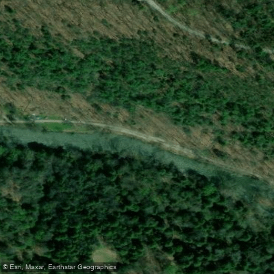
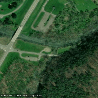
Learn how to get on Clear Fork Mohican River. Uncover great paddling access points, boat ramps, and all the facilities you need for an unforgettable day on the water. Some locations shown may border or include private property. Always check property boundaries and applicable regulations before visiting. PaddleWays's Public & Private Land layer can help you plan your access with confidence.

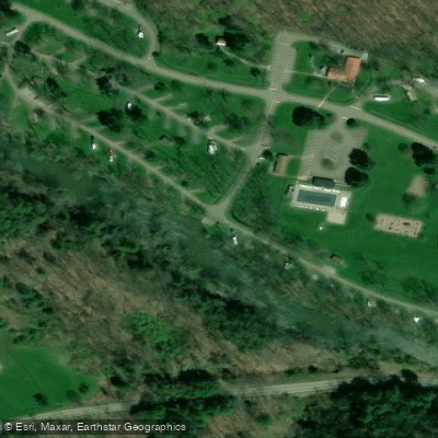
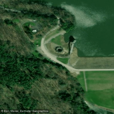
Paddle smarter with real-time insights
Whether you're en route and conditions shift or you're looking for the best spot based on current flows, we enable you to make informed decisions on the fly.








Find Places to Paddle

Over 400,000 Places to Paddle
Every user gets free access to launch points, boat ramps, and public property parcels.


Water and weather conditions (10 day forecast)
See the best times to paddle Clear Fork Mohican River and check the forecast before you go.
Clear Fork Mohican River at Bellville OH
All Flow Stations
Paddling near Clear Fork Mohican River
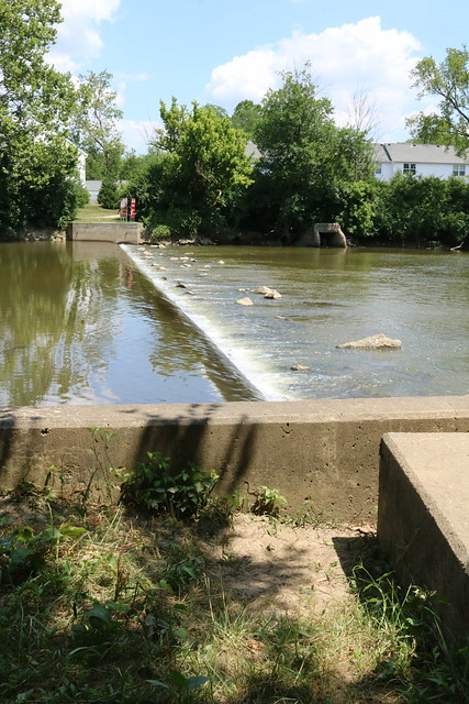
Olentangy River
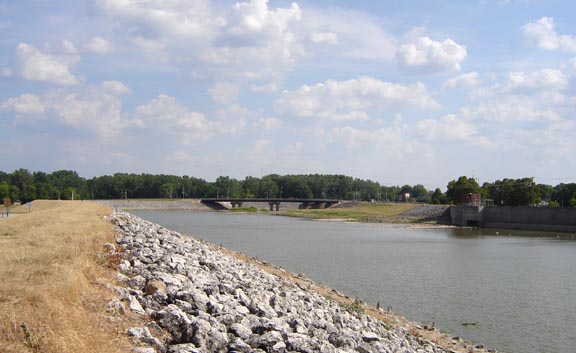
Sandusky River
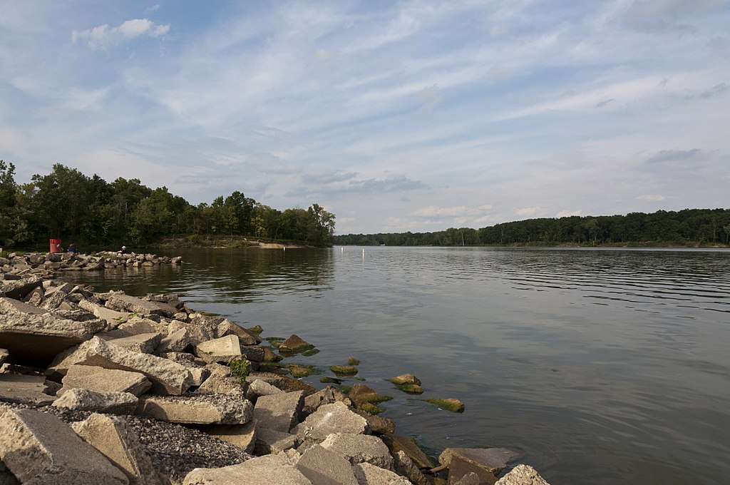
Delaware Lake
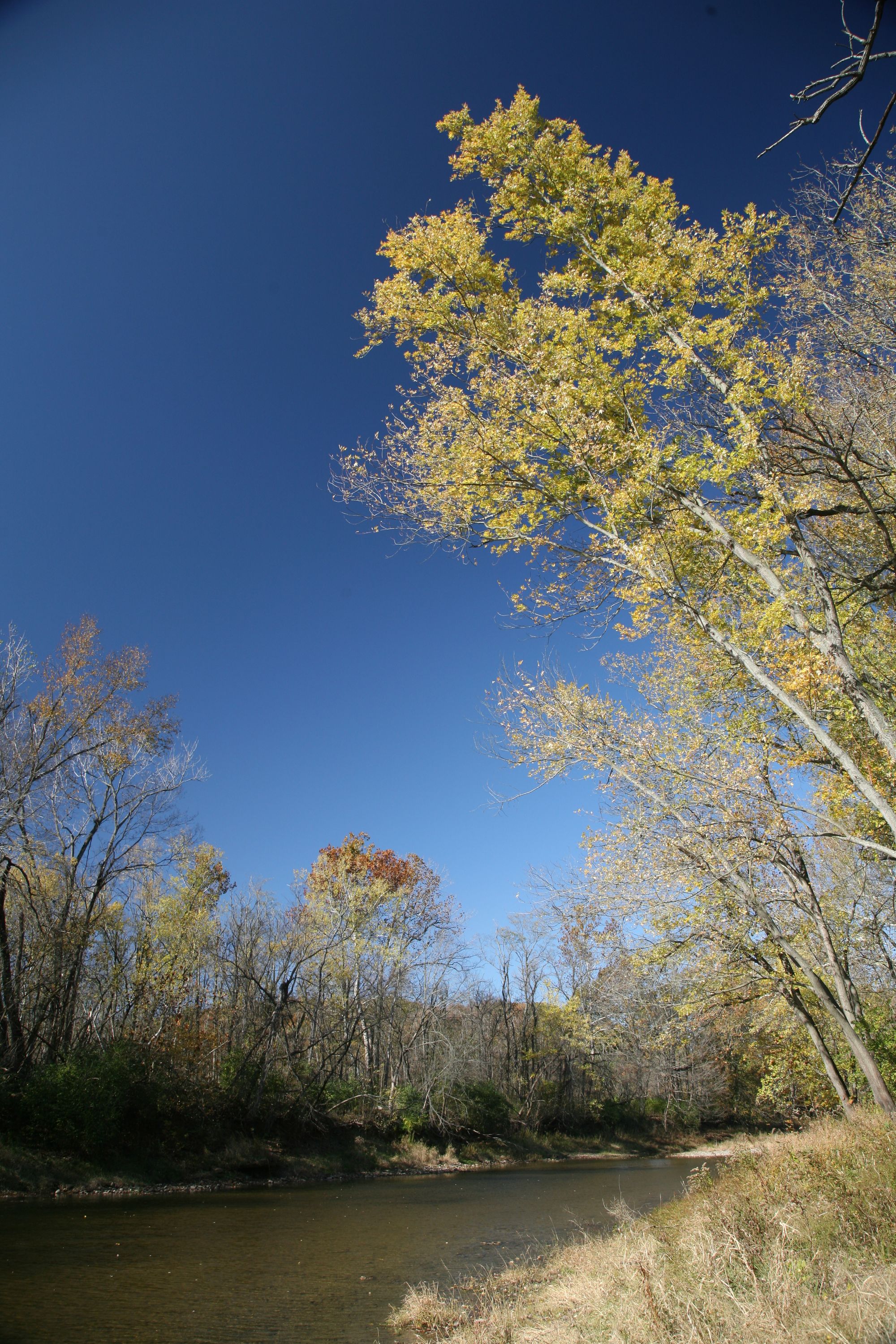
Vermilion River

Lake Erie
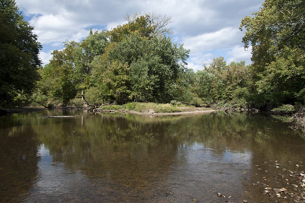
Big Walnut Creek
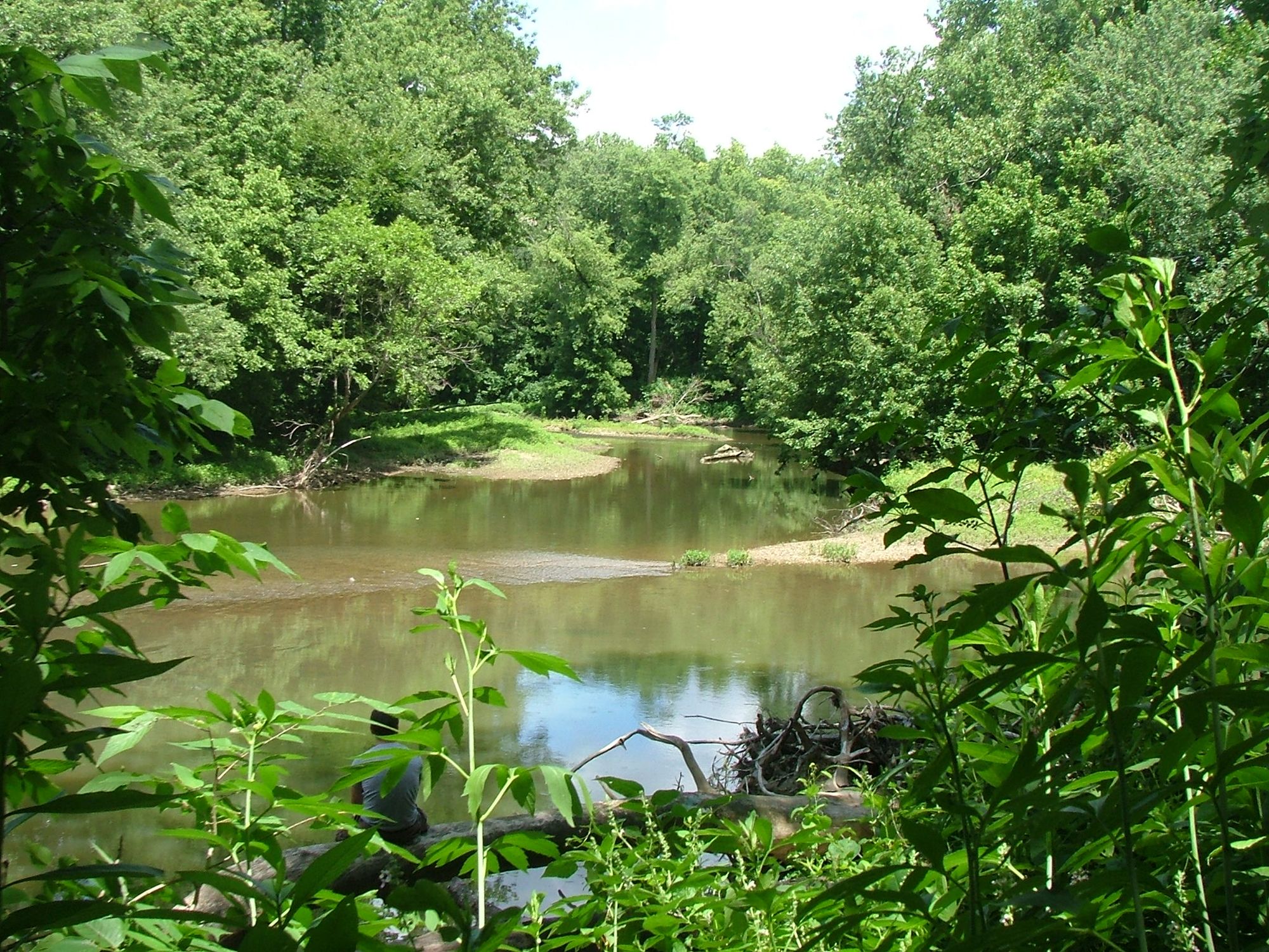
Alum Creek
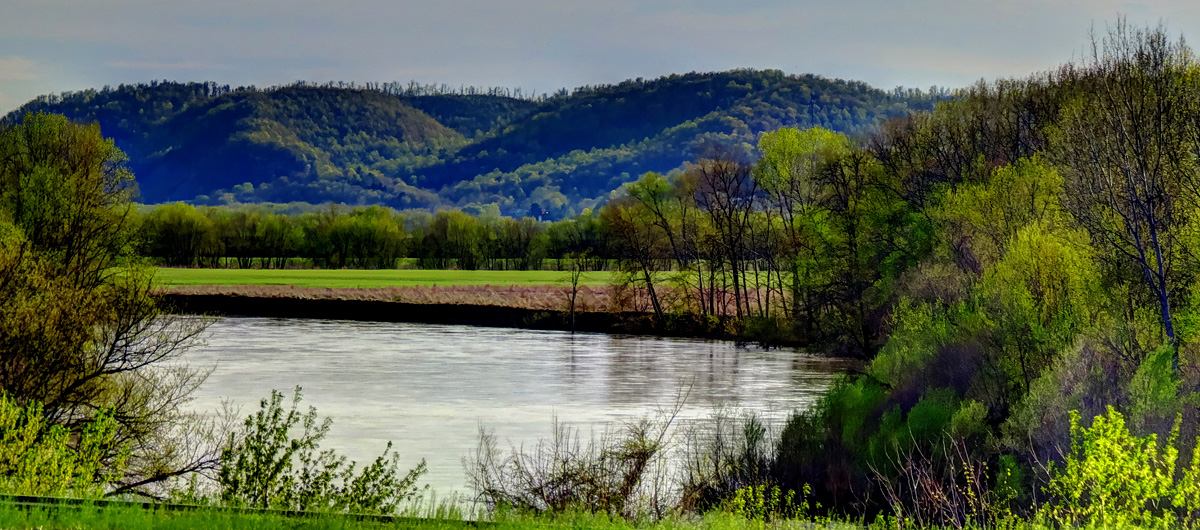
Scioto River
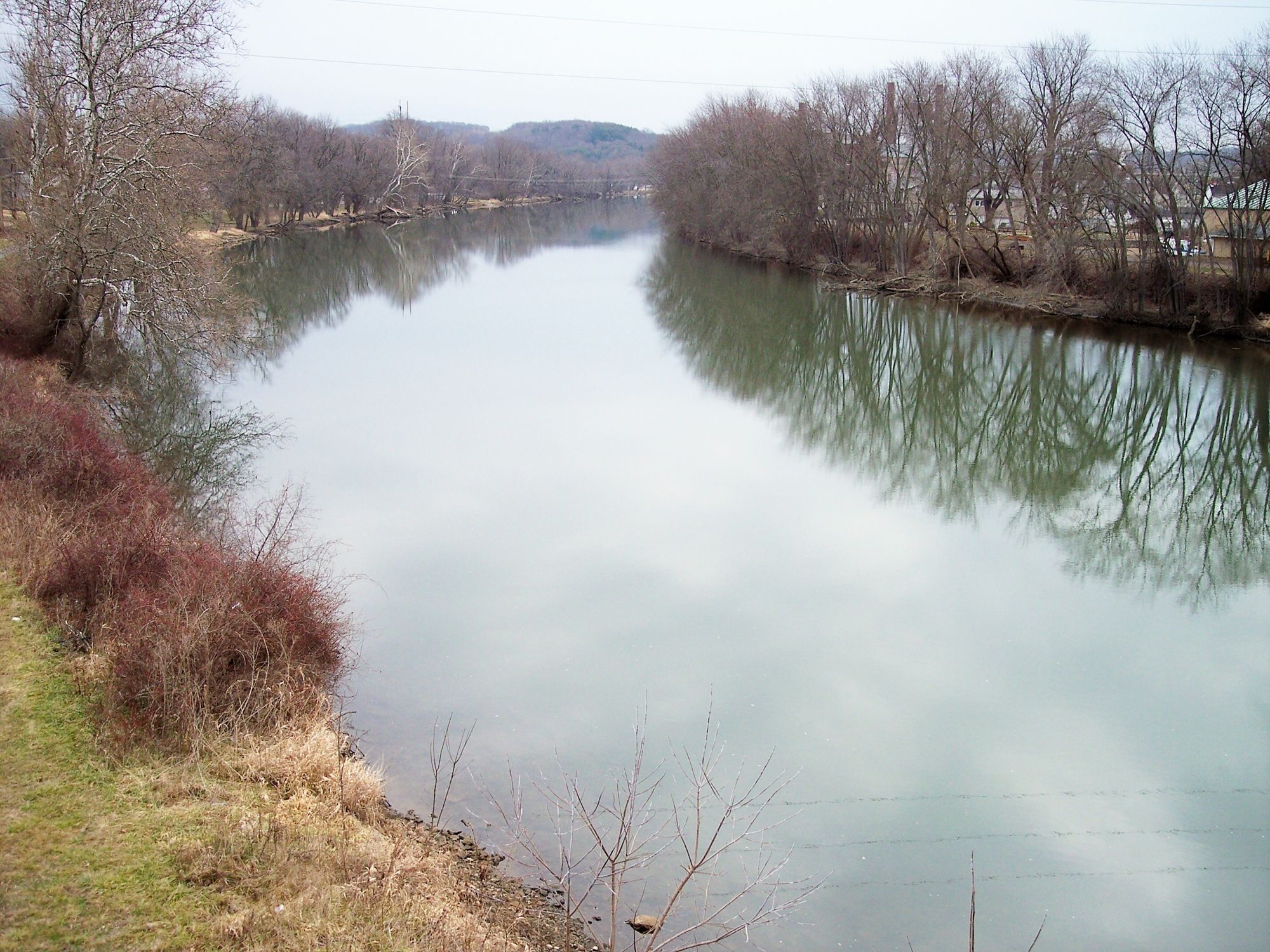
Tuscarawas River
Explore Ohio waters
Top paddling waters
Popular Cities
Loading popular cities...
Explore near Clear Fork Mohican River
Access points
Nearby waters
More in Ohio

Smarter Paddling Starts in the App.
Paddleways gives you everything you need to plan smarter, paddle better, and own every trip from first launch to takeout.