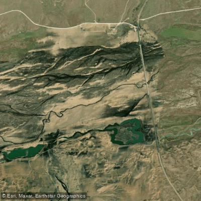
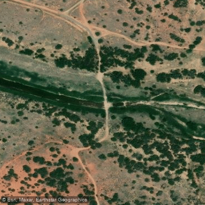
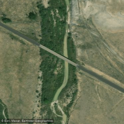
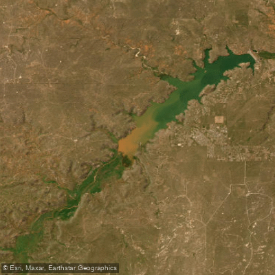
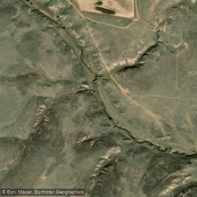
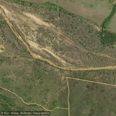
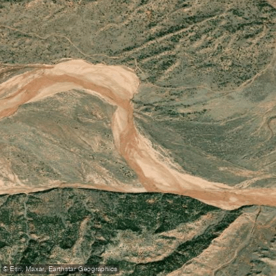
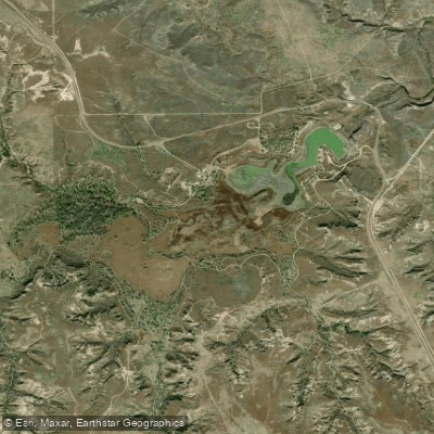
The Canadian River originates in the Sangre de Cristo Mountains of southern Colorado, just north of the New Mexico border in Las Animas County at approximately 9,500 feet elevation. From its headwaters, the river flows southward into New Mexico through Colfax, Harding, San Miguel, Mora, and Quay counties, carving dramatic sandstone canyons before turning eastward across the Texas Panhandle through Oldham, Potter, Moore, Hutchinson, Roberts, Hemphill, and into Oklahoma where it traverses Ellis, Roger Mills, Dewey, Custer, Canadian, Caddo, Blaine, Grady, McClain, Cleveland, Pottawatomie, Seminole, Hughes, Pontotoc, McIntosh, Pittsburg, Haskell, Muskogee, and Sequoyah counties before joining the Arkansas River.
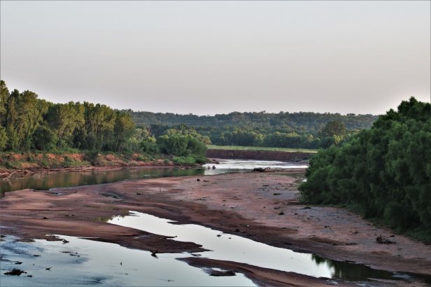
The river's character transforms dramatically along its 906-mile journey. In Colorado and northern New Mexico, it flows through conifer forests and steep canyons. The section between Springer and Conchas in New Mexico offers whitewater rafting opportunities during spring runoff, with Class I-II rapids navigable by canoes, kayaks, and rafts. Access points include Raton, Maxwell, and Springer in Colfax County. In Texas, Lake Meredith near Borger provides flatwater paddling and fishing, though the reservoir has significantly altered natural flows downstream. Oklahoma sections present limited paddling opportunities due to shallow, braided channels and extensive quicksand. The McClellan-Kerr Arkansas River Navigation System begins near Muskogee, making the lower river navigable by barge downstream of this point. Eufaula Lake in McIntosh and Haskell counties offers reservoir paddling.
Seasonal flows are highly variable and unpredictable. Optimal paddling conditions typically occur during spring snowmelt (April-June) following above-average winter precipitation. Summer and fall often see reduced flows or dry sections, particularly in the Texas and Oklahoma reaches.
The river corridor supports diverse wildlife including golden and bald eagles, wild turkey, pronghorn, and prairie dogs. Riparian vegetation transitions from cottonwoods and willows in upper reaches to saltcedar (an invasive species) in lower sections. The Canadian River Basin hosts several imperiled fish species including the federally threatened Arkansas River Shiner and the Peppered Chub.
Notable landmarks include Mills Canyon in the Kiowa National Grasslands (Harding County, NM), Maxwell National Wildlife Refuge (Colfax County, NM), Lake Meredith National Recreation Area (Potter and Hutchinson counties, TX), and Gene Howe Wildlife Management Area (Hemphill County, TX). The river valley served as a corridor for Native American tribes including Comanche, Kiowa, and Wichita peoples, and later for Spanish explorers and American pioneers.
Access is limited due to extensive private land ownership. Public access points include state parks at Conchas Lake (NM), Lake Meredith (TX), and Eufaula Lake (OK), plus scattered highway crossings. Towns providing river access include Canadian (Hemphill County, TX), Purcell (McClain County, OK), and Eufaula (McIntosh County, OK).
Safety concerns include flash flooding potential, quicksand in sandy reaches, extreme temperature fluctuations, and limited services in remote sections. No permits are required for most sections, though reservoir regulations apply at impoundments. Multi-day trips are feasible in New Mexico sections with proper planning for self-sufficiency.