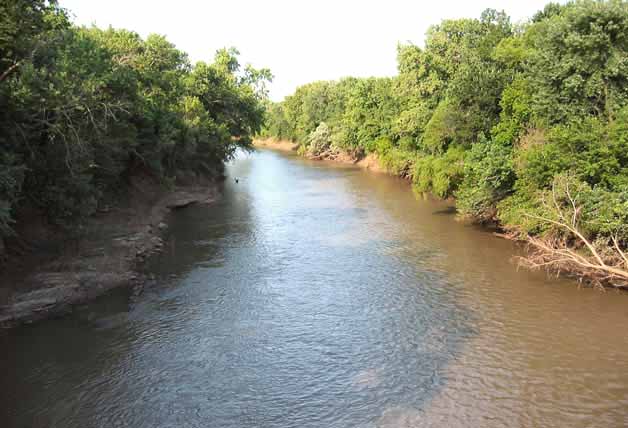
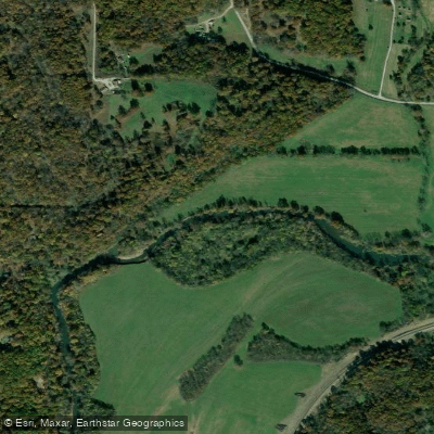
The Neosho River is a scenic waterway that flows through eastern Kansas and northeastern Oklahoma, offering paddlers a diverse range of experiences from peaceful flatwater to more challenging sections. Beginning in the Flint Hills of Kansas, the river winds its way south before joining with the Arkansas River in Oklahoma.
The river provides several notable paddling opportunities. In Kansas, the Council Grove Neosho Riverwalk offers an easy urban paddle with historical significance, being near a documented Santa Fe Trail river crossing. Further downstream, the section above John Redmond Reservoir provides a longer stretch of consistent water levels, though paddlers should be aware of a significant log jam hazard.
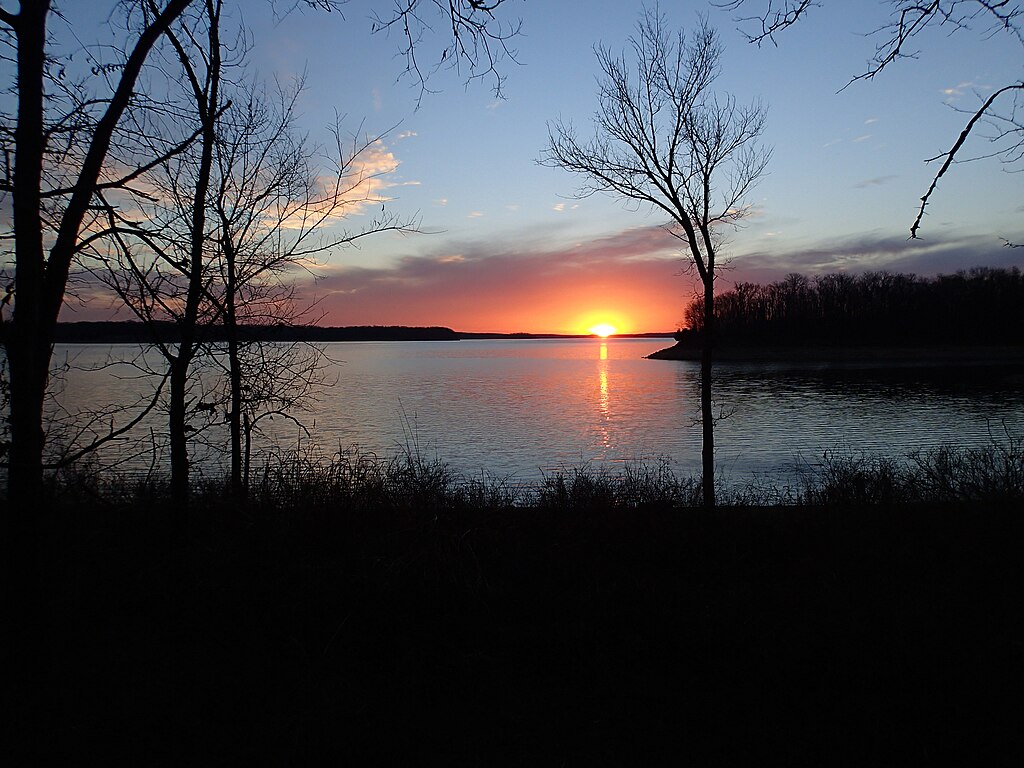
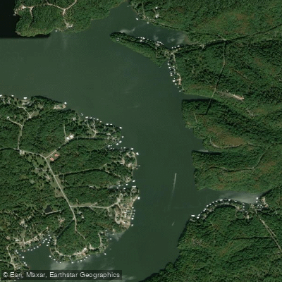
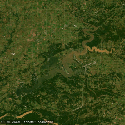
As the river enters Oklahoma, it offers scenic flatwater paddling experiences, eventually flowing into Grand Lake O' the Cherokees. The Neosho River's difficulty ranges from flatwater to Class II rapids, making it suitable for paddlers of various skill levels. Many sections are ideal for beginners and families, while some areas with swifter currents may challenge intermediate paddlers.
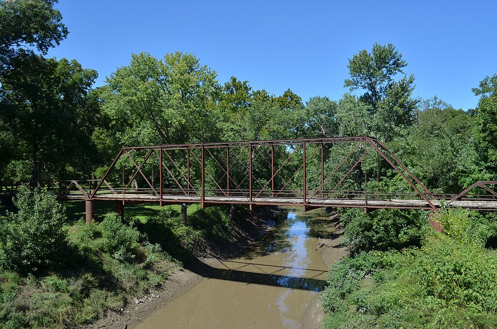
The river is generally most paddled from spring through fall, with water levels often being most favorable in late spring and early summer. The river corridor supports a rich ecosystem, with opportunities to observe diverse wildlife including various fish species, waterfowl, and occasional larger mammals like deer. The landscape transitions from the rolling Flint Hills prairies in Kansas to more forested areas as it enters Oklahoma.
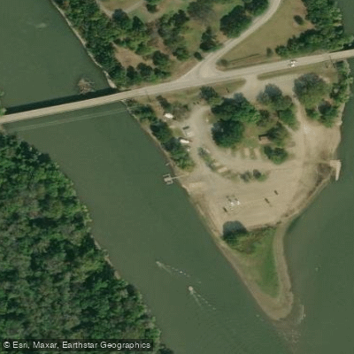
Several towns provide access points and services for paddlers. Council Grove, Humboldt, and Iola in Kansas, and Miami in Oklahoma are notable river towns. The river passes through or near several state parks in Oklahoma, including Twin Bridges, Bernice, and Grand Lake State Parks, offering camping and additional recreational opportunities.
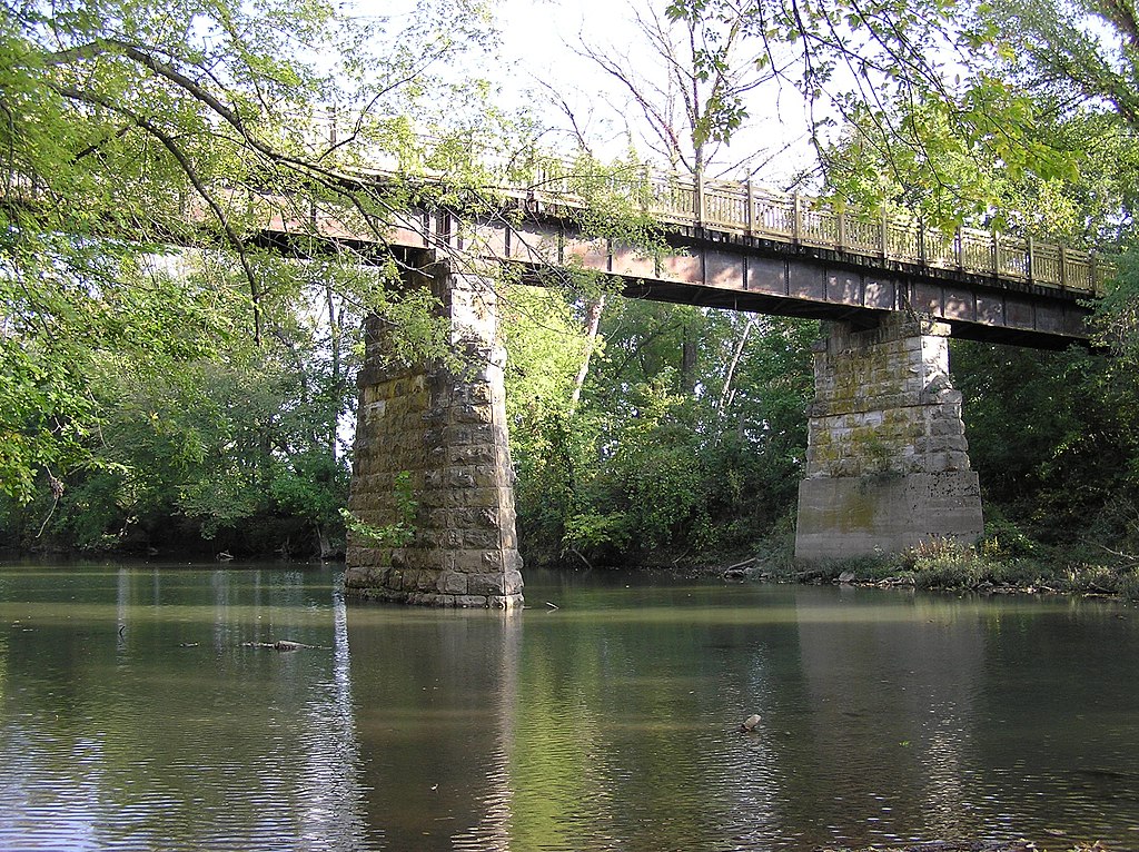
Historically, the Neosho River played a significant role in the region's development, serving as a transportation route and power source for early settlements. Today, it continues to be an important resource for recreation, wildlife, and water supply. Paddlers should always check current water levels and weather conditions before embarking on a trip. Be aware of low-head dams, particularly in urban areas, and the potential for logjams in some sections. Some areas may require landowner permission for access, so it's important to research and plan accordingly.
For those seeking a multi-day adventure, a popular option is to combine paddling on the Neosho River with its tributary, the Spring River, starting near Baxter Springs, Kansas and ending at Twin Bridges State Park in Oklahoma. This trip offers a mix of scenery and paddling conditions, with several access points along the way for flexible trip planning.
The Neosho River, with its varied character and beautiful surroundings, provides a quintessential Midwest paddling experience, offering something for everyone from casual day-trippers to dedicated river enthusiasts.