Stockton Lake
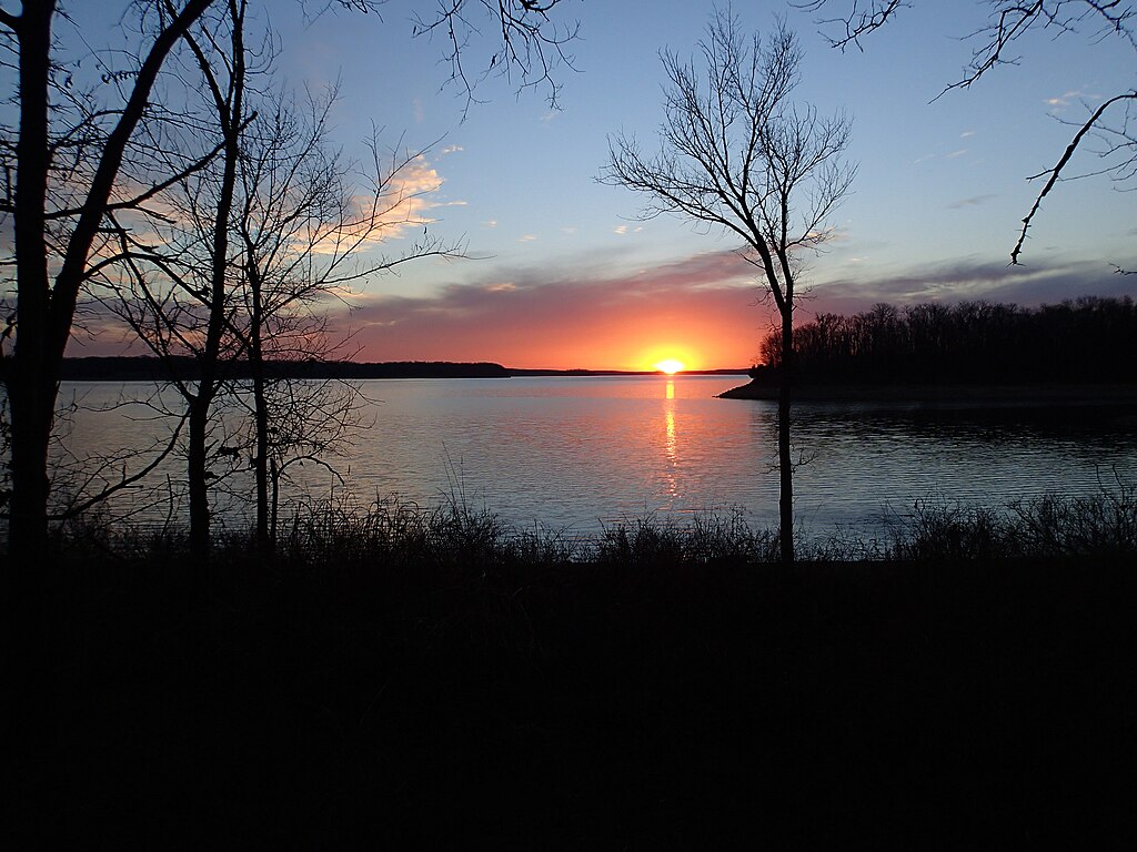
Stockton Lake
- Boat Ramps
- 19
- Access Points
- 28
- Campsites
- 6
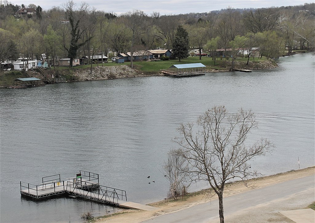
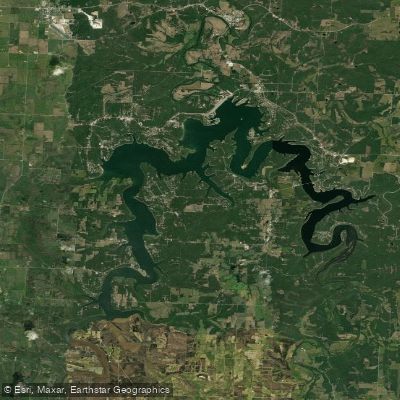
Stockton Lake in Missouri offers 24,900 acres of clear blue waters ideal for paddling and other water recreation. Created in 1970 by damming the Sac River, the lake features 298 miles of unspoiled shoreline across Cedar, Dade, and Polk counties. The open topography allows for consistent southwest breezes, making Stockton a premier sailing destination with a nationally recognized sailing school at the marina.
Paddlers can access the lake via two boat launches at Stockton State Park, located on a peninsula between the lake's two arms. The park provides camping, cabins, a restaurant, and a swimming beach. Additional access is available at 14 recreation areas around the lake managed by the Corps of Engineers and marinas.
Wildlife viewing opportunities abound, with deer, turkey, and geese frequently spotted along the shoreline. Bald eagles nest in the area and can often be seen, particularly during the Eagles Day event in January. The lake's clear waters support diverse fish populations, including crappie, bass, walleye, and catfish.
Safety considerations include potentially rough water that can capsize small watercraft, as evidenced by recent kayaking fatalities. Water temperatures can be dangerously cold, especially in spring, increasing the risk of hypothermia. Life jackets are strongly recommended for all paddlers.
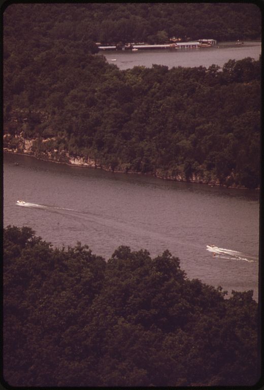
Stockton Lake is known for its pristine conditions and lack of commercial development along the shoreline. The lake offers numerous coves to explore and scenic vistas. Paddlers should be aware that the lake can become busy with other recreational boaters, particularly during summer weekends.
For those interested in multi-day trips, Stockton State Park offers various camping options, including basic and electric sites, log cabins, and a three-bedroom house with lake views. The park is also an excellent base for hiking, wildlife photography, and picnicking.
Water access, boat ramps & amenities
Learn how to get on Stockton Lake. Uncover great paddling access points, boat ramps, and all the facilities you need for an unforgettable day on the water. Some locations shown may border or include private property. Always check property boundaries and applicable regulations before visiting. PaddleWays's Public & Private Land layer can help you plan your access with confidence.
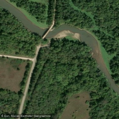
Stockton Lake ML Access
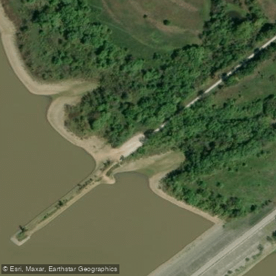
Stockton Lake ML Access
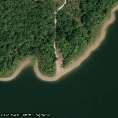
Stockton Lake ML Access
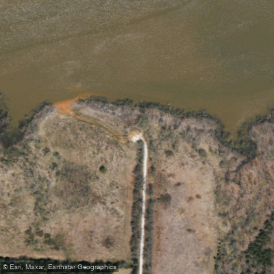
Stockton Lake ML Access
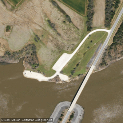
Stockton Lake ML Access
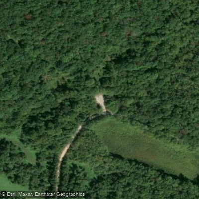
Stockton Lake ML Access
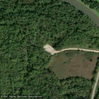
Stockton Lake ML Access
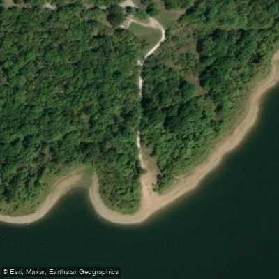
Stockton Lake ML Access
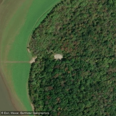
Stockton Lake ML Access
Paddle smarter with real-time insights
Whether you're en route and conditions shift or you're looking for the best spot based on current flows, we enable you to make informed decisions on the fly.








Find Places to Paddle

Over 400,000 Places to Paddle
Every user gets free access to launch points, boat ramps, and public property parcels.


Water and weather conditions (10 day forecast)
See the best times to paddle Stockton Lake and check the forecast before you go.
Stockton Lake near Stockton, MO
Paddling near Stockton Lake
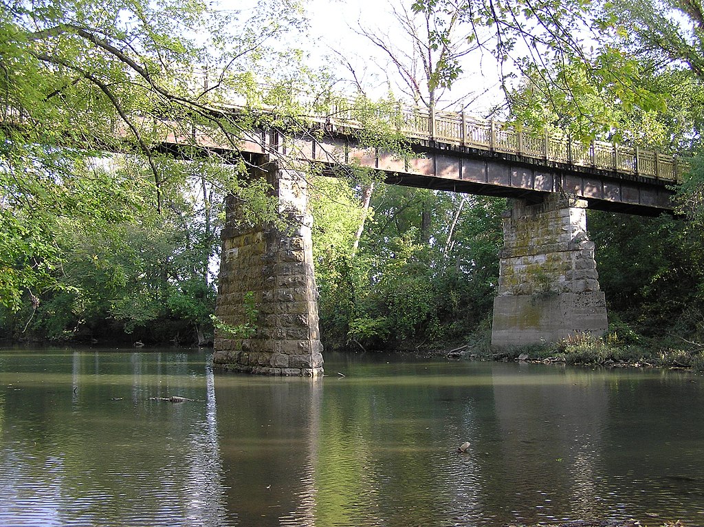
Sac River
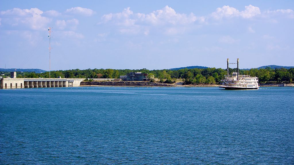
Table Rock Lake
Lake Taneycomo

White River
Pomme de Terre Lake
Niangua River
Kings River
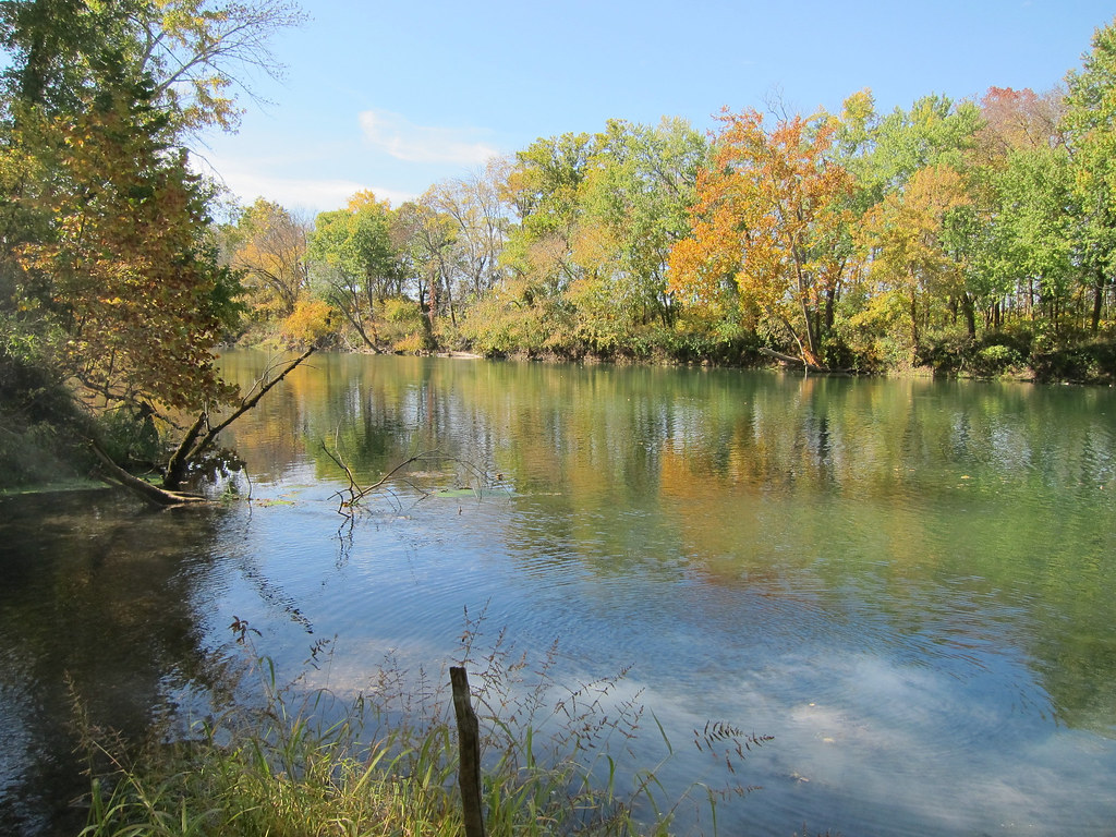
Gasconade River
Lake Springfield
Explore Missouri waters
Top paddling waters
Popular Cities
Loading popular cities...
Explore near Stockton Lake
Access points
Nearby waters
More in Missouri

Smarter Paddling Starts in the App.
Paddleways gives you everything you need to plan smarter, paddle better, and own every trip from first launch to takeout.