Spring River
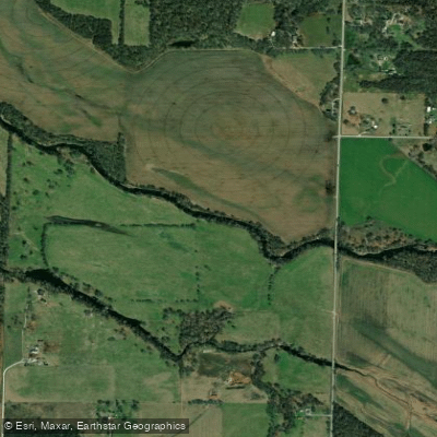
Spring River
- Boat Ramps
- 6
- Access Points
- 9
- Campsites
- 1
The Spring River is a scenic waterway that flows through the tri-state region of Kansas, Missouri, and Oklahoma. Originating near Verona, Missouri, the river flows southwest for approximately 130 miles before joining the Neosho River in northeastern Oklahoma. Its primary tributaries include Center Creek and Shoal Creek.
The Spring River offers diverse paddling opportunities across its course. In Missouri, the upper sections provide a mix of fast-paced streams and calmer waters, fed by Big Spring which contributes over 12 million gallons daily. As the river enters Kansas, it slows somewhat but maintains good flow. The Oklahoma stretch concludes the river's journey with scenic flatwater paddling.
Difficulty ranges from Class I to Class II, making it suitable for paddlers of various skill levels. Most sections are appropriate for beginners and families, while some faster areas in Missouri may challenge intermediate paddlers.
The river is typically navigable year-round, with spring and early summer offering optimal water levels. Fall colors provide picturesque scenery for autumn paddling.
Notable wildlife includes various fish species, turtles, and waterfowl. The river corridor supports diverse riparian habitats and occasional limestone bluffs add scenic interest.
Key landmarks include Spring River Park in Baxter Springs, Kansas, the Blue Hole area in Oklahoma, and Devil's Pomenade, a popular destination for day trips.
Historical significance stems from the river's importance to Native American tribes, who referred to it as one of the Seven Bulls - a term for major rivers in southwest Missouri.
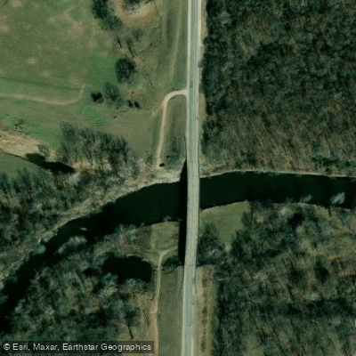
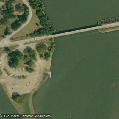
Popular access points include: - Forest Mill Bridge near Carthage, MO - Spring River Park, Baxter Springs, KS - Blue Hole, OK - Highway 10 near High Winds Casino, OK
Safety considerations include checking water levels, especially after heavy rains, and being aware of occasional snags or logjams. Some sections in Oklahoma may have slower current, requiring more active paddling.
Multi-day trips are possible, particularly in the Kansas to Oklahoma stretch. A common 2-3 day itinerary runs from Baxter Springs to Highway 10, covering about 15 miles. Camping is available at designated areas along the route.
The Spring River provides a delightful paddling experience, offering a blend of natural beauty, gentle rapids, and historical significance across its tri-state journey.
Water access, boat ramps & amenities
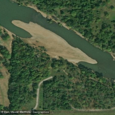
Learn how to get on Spring River. Uncover great paddling access points, boat ramps, and all the facilities you need for an unforgettable day on the water. Some locations shown may border or include private property. Always check property boundaries and applicable regulations before visiting. PaddleWays's Public & Private Land layer can help you plan your access with confidence.
Paddle smarter with real-time insights
Whether you're en route and conditions shift or you're looking for the best spot based on current flows, we enable you to make informed decisions on the fly.








Find Places to Paddle

Over 400,000 Places to Paddle
Every user gets free access to launch points, boat ramps, and public property parcels.


Water and weather conditions (10 day forecast)
See the best times to paddle Spring River and check the forecast before you go.
Spring River near Quapaw, OK
All Flow Stations
Paddling near Spring River
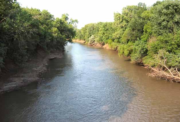
Neosho River
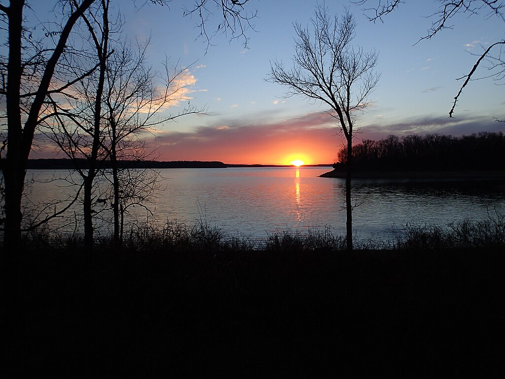
Stockton Lake
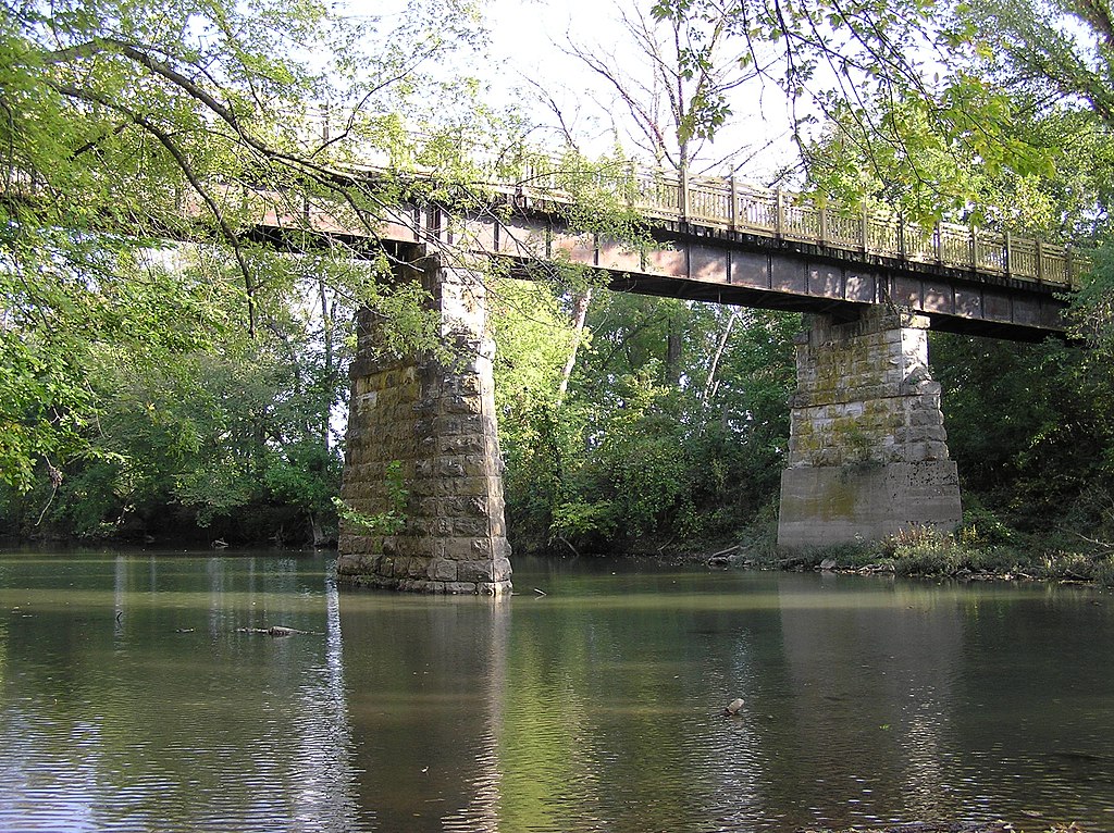
Sac River
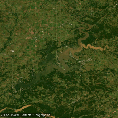
Grand Lake O' The Cherokees
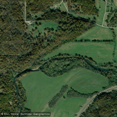
Shoal Creek
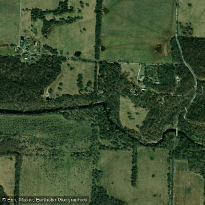
Center Creek
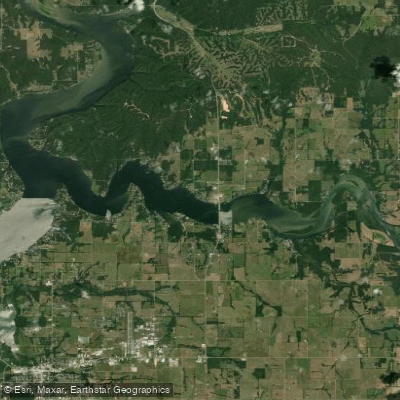
Lake O the Cherokees
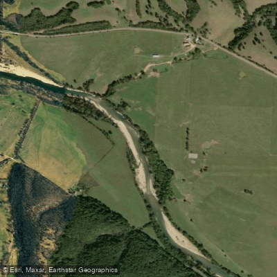
Elk River
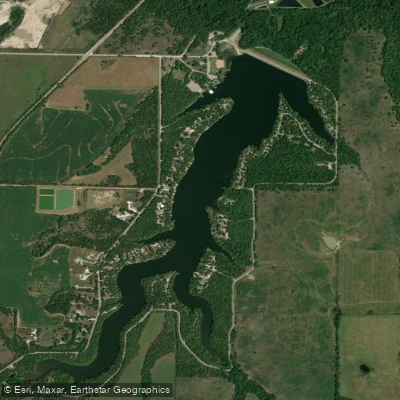
Lake Crawford
Explore Kansas waters
Top paddling waters
Popular Cities
Loading popular cities...
Explore near Spring River
Access points
Nearby waters
More in Kansas

Smarter Paddling Starts in the App.
Paddleways gives you everything you need to plan smarter, paddle better, and own every trip from first launch to takeout.