
Curated by PaddleWays

Coquille River from Rocky Point

7.1 mi lake route on the Coquille River in Oregon

  • Lake

Map of the Coquille River from Rocky Point route, from Rocky Point Boat Ramp
  • Route
  • Put-in & take-out

Conditions right now

How Coquille River from Rocky Point is running today

Route facts

Coquille River from Rocky Point at a glance

Distance
7.1 mi
Paddle time
~3 hrs
Type
Lake

About this route

Paddling Coquille River from Rocky Point

This 7.1-mile lake route on the Coquille River in Coos County, Oregon, begins and ends at Rocky Point Boat Ramp, making it an out-and-back trip. The put-in and take-out at Rocky Point is a public boat ramp located at approximately river mile 6.0, near Bandon.

Put-in & take-out

Hazards

Hazards on Coquille River from Rocky Point

No hazards are marked on Coquille River from Rocky Point yet. That is not the same as none being there: if you find one, report it for the next paddler.

From the community

Coquille River from Rocky Point trip reports

Real trips from PaddleWays paddlers who ran this route: how the flows were, and what to watch for.

Loading trip reports

  • Greg H.

    Started from the nice public boat ramp at the Rocky Point County Park headed up River using the incoming tide and wind to our advantage. Went up about 3 1/2 miles and turned around once the tide slackened. Unfortunately for us, the wind picked up, making for an extremely challenging down stream trip into the wind. Lots of swells with white caps going upstream. 
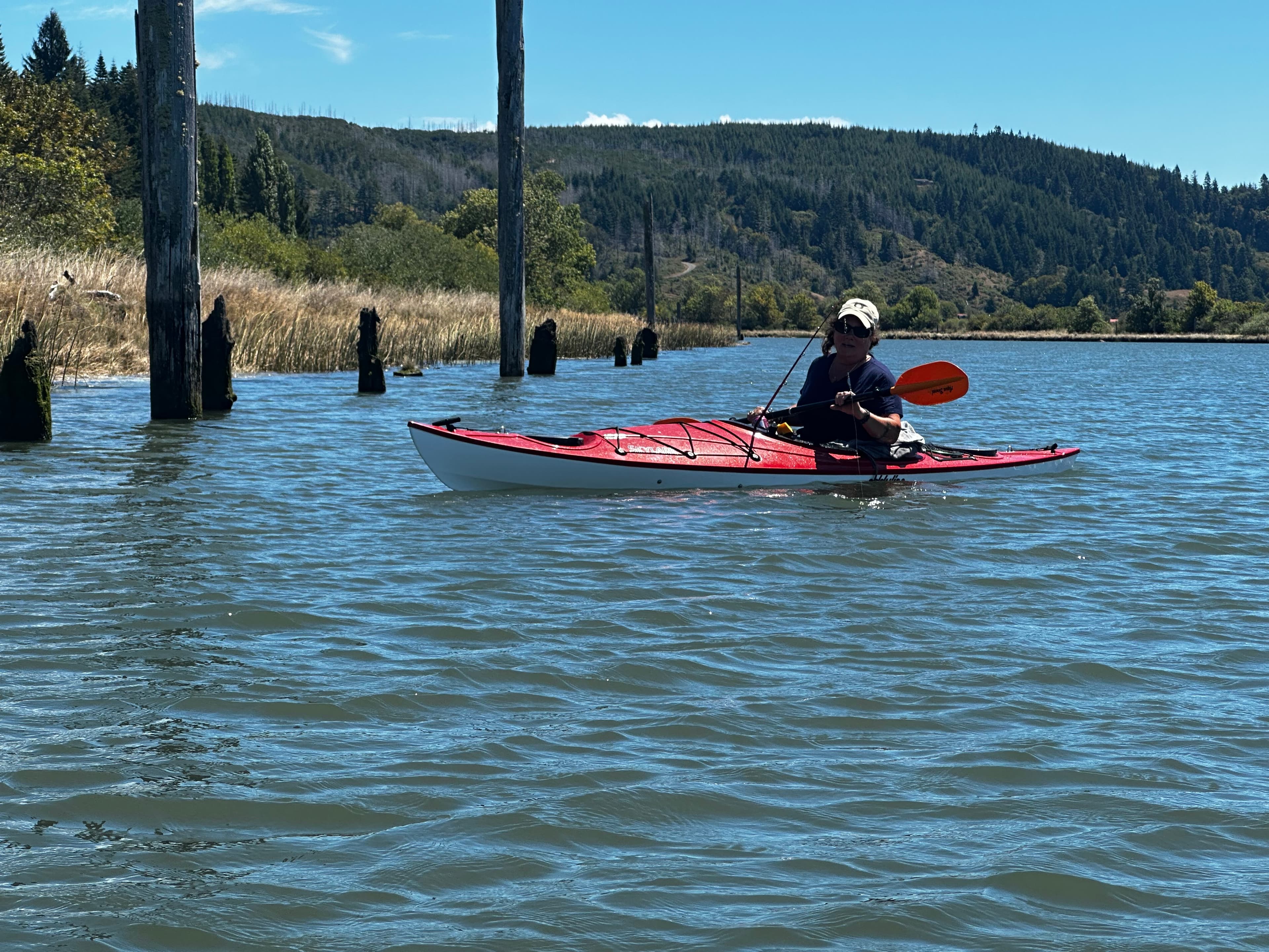

    • Photo 1 from Greg H.'s trip
    Mentions: tides, wind

Weather & wind (10 day forecast)

The gauges near Coquille River from Rocky Point and the forecast where it starts, so you can pick your day.

No forecast data available.

Close by

Routes near Coquille River from Rocky Point

Curated routes on other waters within an hour or so, nearest first.

Curated by PaddleWays

RouteClass I–VI

Distance
3.9 mi
Paddle time
Multi-day
Best for
Intermediate paddlers, experienced paddlers
Put-in → take-out
Hoffman Bridge Boat Ramp → Bryant Park Boat Ramp
Strong afternoon breezes common
Curated by PaddleWays

RouteClass II–III

Distance
18 mi
Paddle time
~4.5 hrs
Put-in → take-out
Sixes River Campground Access → Cape Blanco State Park Boat Ramp
Curated by PaddleWays

RouteClass II–III

Distance
5.1 mi
Paddle time
~1.5 hrs
Best for
Kayak
Put-in → take-out
Edson Creek Boat Ramp → Sixes River Store Boat Ramp
Water levels fluctuate, flooding low-lying areas
Curated by PaddleWays

RouteClass V

Distance
1.2 mi
Paddle time
~0.5 hrs
Best for
Experienced paddlers
Put-in → take-out
Put In → Take Out
Challenging Class IV/V rapids with wood
Curated by PaddleWays

Elk River

on Elk River · 30 mi away

RouteFlatwater

Distance
1 mi
Paddle time
~0.5 hrs
Put-in & take-out
Elk River Fish Hatchery Access

Smarter Paddling Starts in the App.

PaddleWays gives you everything you need to plan smarter, paddle better, and own every trip from first launch to takeout.