Curated by PaddleWays
RouteClass IV
- Distance
- 8.8 mi
- Paddle time
- ~2 hrs
- Best for
- Intermediate paddlers
- Put-in → take-out
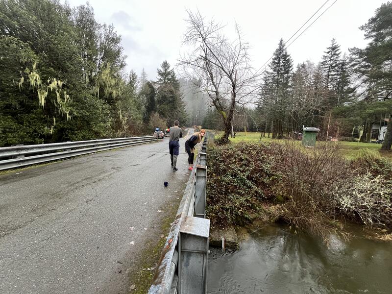
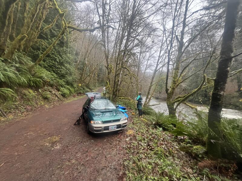
- Put In → Take Out/Gauge
Two Class IV rapids to scout
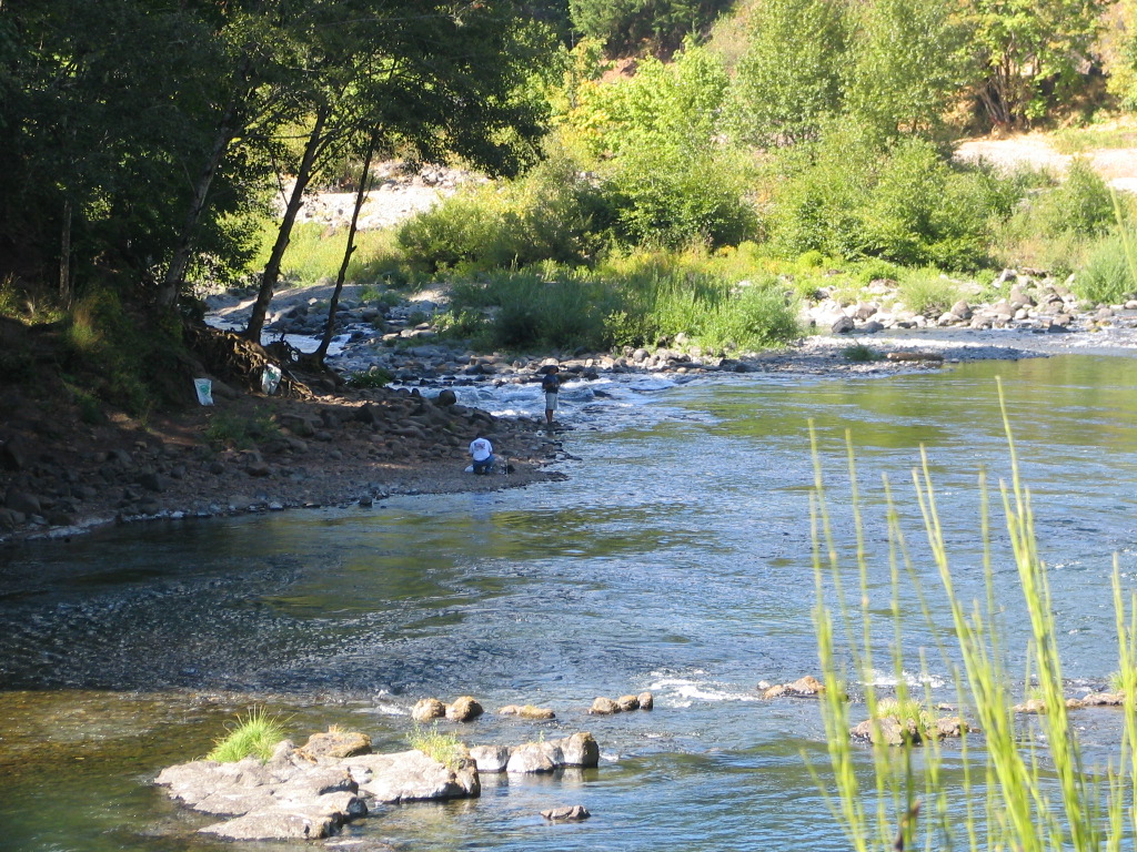
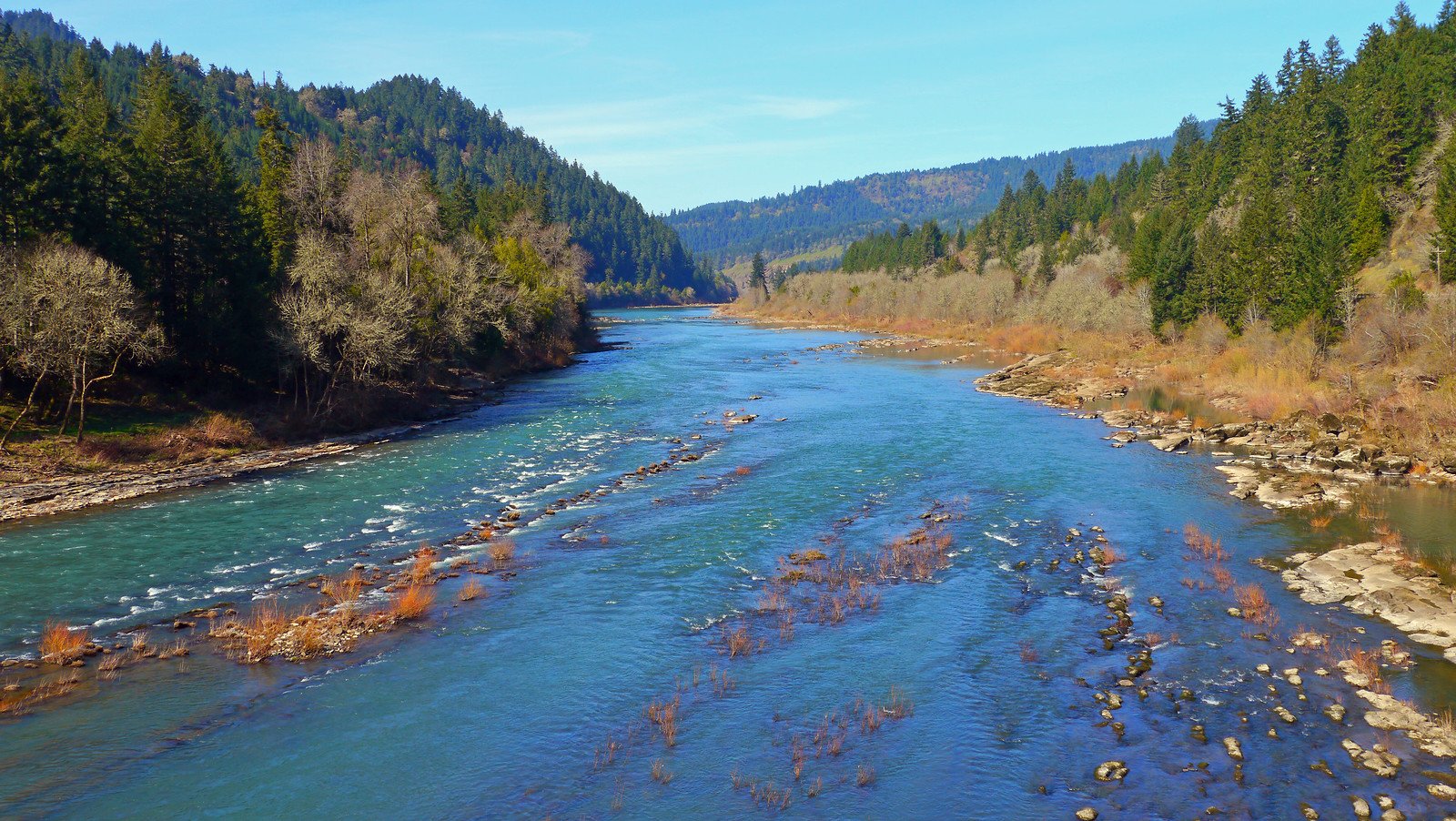
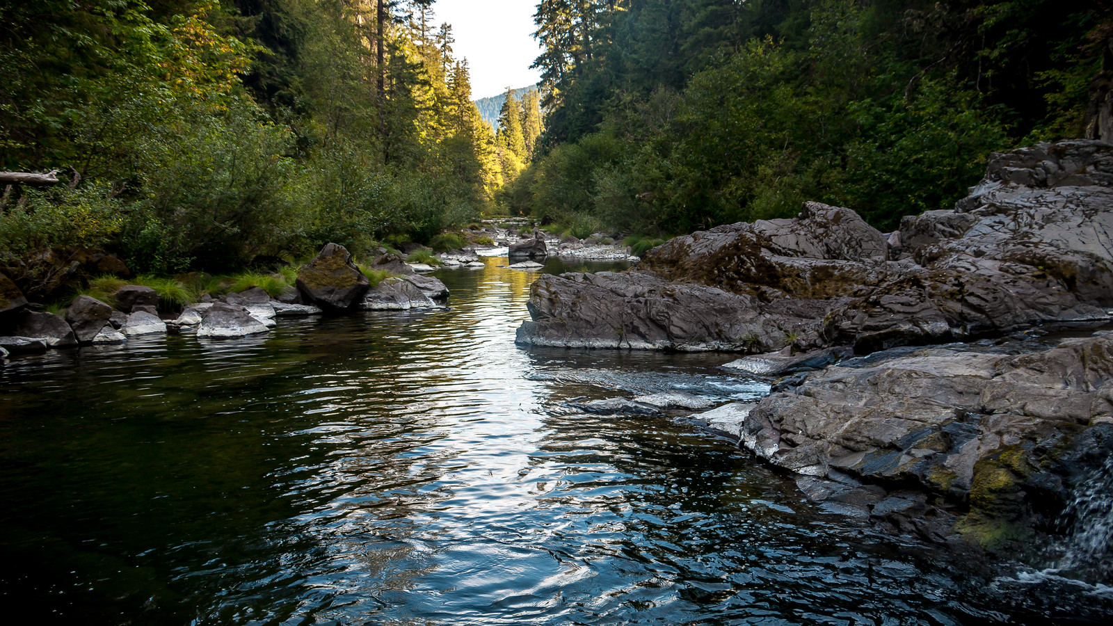
The West Fork Millicoma River flows through the rugged Coast Range of southwestern Oregon, carving a path through dense forests before joining the East Fork to form the mainstem Millicoma River near Allegany. This tributary of the Coos River system originates high in the mountains west of Coos Bay, tumbling over bedrock and boulders as it descends toward the Pacific. Whitewater enthusiasts are drawn to the West Fork Millicoma for its challenging Class III rapids and pristine wilderness setting.
The most popular paddling section begins just below Henrys Falls, one of the few accessible waterfalls in the area. From here, paddlers navigate approximately 5 miles of exciting whitewater, encountering a series of Class III rapids that demand solid boat control and river reading skills. A notable landmark is the confluence with 13 Mile Creek, which enters from river right and creates an excellent set of surf waves. This area offers a brief respite from the more technical rapids upstream and downstream. The run typically concludes near the small community of Allegany, though exact take-out locations may vary depending on water levels and access permissions.
The West Fork Millicoma's flow is heavily influenced by winter rains and spring snowmelt. The optimal paddling season generally runs from late fall through early spring when water levels are sufficient to cover the numerous rocks and ledges that characterize the riverbed. Summer flows are often too low for enjoyable paddling.
The river corridor supports a rich ecosystem typical of Oregon's coastal forests. Towering Douglas firs, western red cedars, and big leaf maples line the banks, while osprey, bald eagles, and river otters are frequently sighted. The watershed is also home to populations of native salmon and steelhead, though their numbers have declined in recent decades.
For those looking to extend their adventure, Camp Millicoma is located about a mile from the river and offers basic camping facilities. Nearby Golden and Silver Falls State Natural Area, approximately 6 miles from the river, features impressive waterfalls and hiking trails that complement a paddling trip on the West Fork Millicoma.
Access to the river can be challenging due to its remote location and the prevalence of private timber lands in the area. Paddlers should research current access points and obtain any necessary permissions before their trip. The nearest major town is Coos Bay, about 20 miles southwest of the paddling section.
While the West Fork Millicoma offers thrilling whitewater in a beautiful setting, it demands respect. The river's remote nature, cold water, and technical rapids require paddlers to be self-sufficient and well-prepared. Proper equipment, including wetsuits or drysuits, is essential, as are solid whitewater skills and knowledge of swift water rescue techniques.
Curated routes
Hand-picked by the PaddleWays team, with put-ins, take-outs, paddle times and the hazards along the way.
RouteClass IV
Hazards
No paddler has reported a hazard here yet, so these are the dams, falls and big rapids on our map. Hazards change with flows and storms, so check them before you launch.
From the community
Nobody has shared a trip on West Fork Millicoma River yet. Paddle it, then tell the next paddler how it went.
See exactly where the public can get on and off the river. Launch points and boat ramps are paired with PaddleWays' public land data so you know where you can legally land.
Public shoreline
15%of the river's shoreline is public
Most of the riverbank is private. Launch, land and camp only at public access points.
Flows, weather and a route-by-route verdict, so you know which stretch of the West Fork Millicoma River is worth paddling today.
No forecast data available.
Live flows, marked hazards and fresh trip reports from paddlers who were just on the water, all in one place.





Every user gets free access to launch points, boat ramps, and public property parcels.
Loading popular cities...
PaddleWays gives you everything you need to plan smarter, paddle better, and own every trip from first launch to takeout.