Curated by PaddleWays
RouteClass V
- Distance
- 1.2 mi
- Paddle time
- ~0.5 hrs
- Best for
- Experienced paddlers
- Put-in → take-out
- Put In → Take Out
Challenging Class IV/V rapids with wood
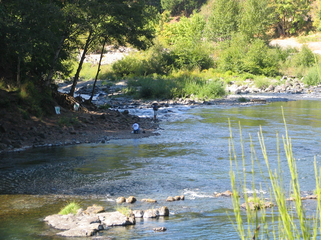
The East Fork Coquille River is a vibrant waterway in southwestern Oregon, originating in the Coast Range mountains and flowing westward to join the main stem of the Coquille River. This tributary is a crucial component of the larger Coquille watershed, which ultimately drains into the Pacific Ocean near Bandon.
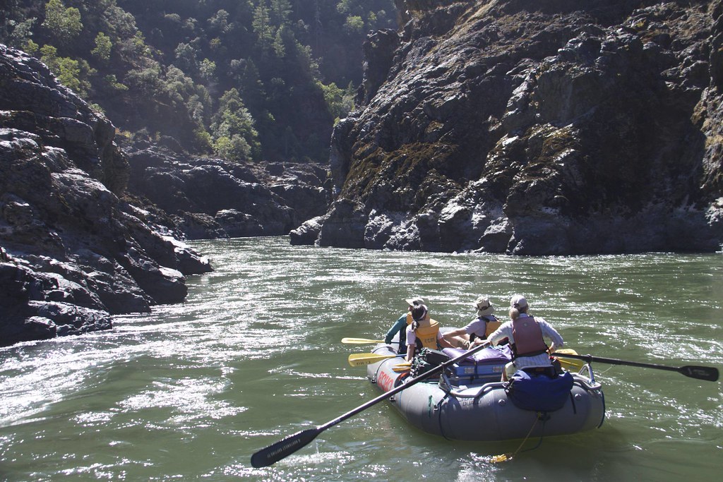
The river's most renowned section for whitewater enthusiasts is Brewster Canyon, a challenging Class IV run that demands advanced paddling skills. This segment features a series of technical rapids, including the formidable Triple Threat and the intricate Zig Zag. Paddlers must navigate ledge drops, tight lines, and potential hazards such as undercut rocks, making thorough scouting essential.
The East Fork Coquille's difficulty ranges from moderate to expert, with Brewster Canyon representing the upper end of this spectrum. Seasonal rainfall significantly affects water levels, with the optimal paddling season typically spanning from late fall through spring. During these periods, the river's flow can provide exhilarating runs for skilled kayakers and rafters.
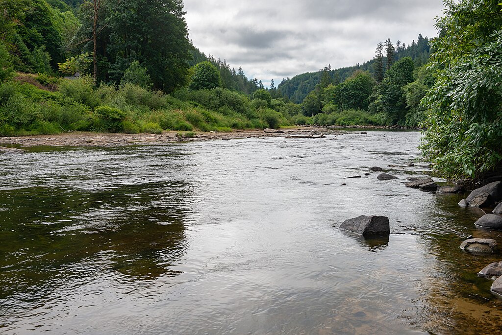
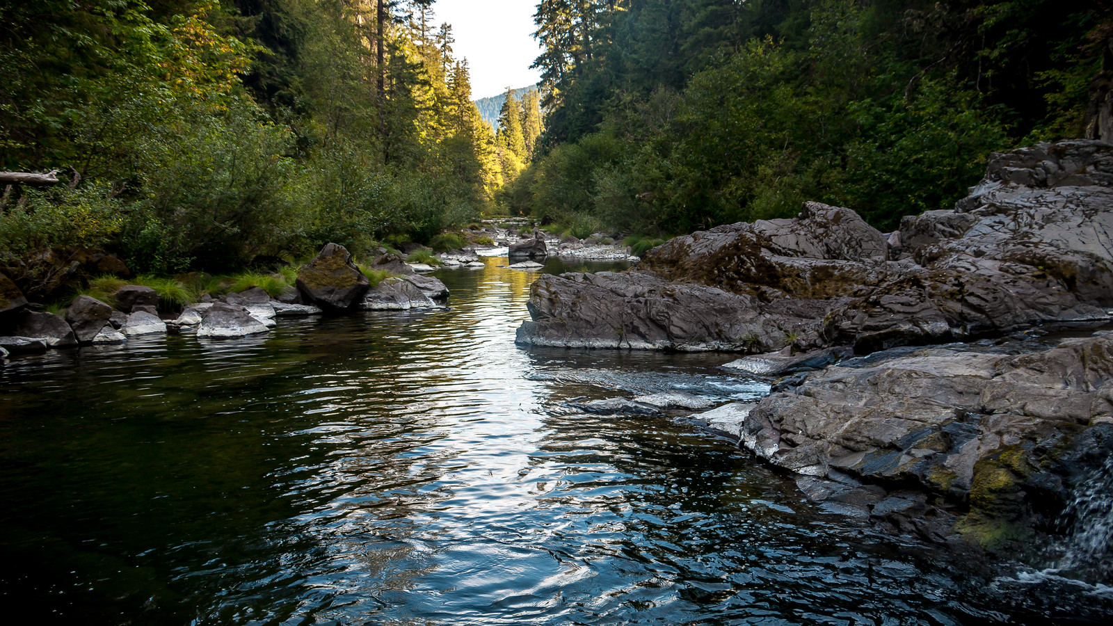
The river corridor is characterized by lush, temperate rainforest vegetation, including Douglas fir, western red cedar, and various ferns. Wildlife sightings may include black-tailed deer, river otters, and a variety of bird species such as osprey and belted kingfishers.
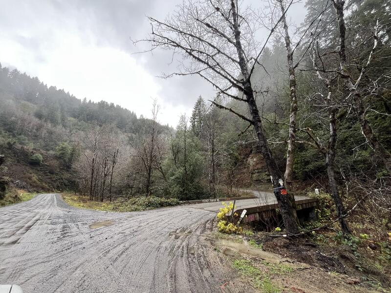
A key put-in upstream of the canyon itself, while the typical take-out is at Sitkum Bridge. The nearby community of Coquille serves as a base for river expeditions, offering supplies and lodging options for paddlers.
The East Fork Coquille River holds historical significance as part of the traditional lands of the Coquille Indian Tribe. The river and its valley have played a role in the region's logging history, with remnants of this industrial past occasionally visible along the banks.
Safety is paramount on the East Fork Coquille, particularly in Brewster Canyon. Paddlers should be prepared for remote conditions, carry appropriate safety gear, and possess solid whitewater rescue skills. It's advisable to check current flow levels and weather forecasts before embarking on any trip.
While primarily known for its day-run potential, multi-day trips combining the East Fork with other sections of the Coquille River system are possible for those seeking a more extended adventure through this picturesque corner of Oregon's coastal region.
Curated routes
Hand-picked by the PaddleWays team, with put-ins, take-outs, paddle times and the hazards along the way.
RouteClass V
Hazards
No paddler has reported a hazard here yet, so these are the dams, falls and big rapids on our map. Hazards change with flows and storms, so check them before you launch.
From the community
Nobody has shared a trip on East Fork Coquille River yet. Paddle it, then tell the next paddler how it went.
See exactly where the public can get on and off the river. Launch points and boat ramps are paired with PaddleWays' public land data so you know where you can legally land.
Public shoreline
26%of the river's shoreline is public
Most of the riverbank is private. Launch, land and camp only at public access points.
Flows, weather and a route-by-route verdict, so you know which stretch of the East Fork Coquille River is worth paddling today.
No forecast data available.
Live flows, marked hazards and fresh trip reports from paddlers who were just on the water, all in one place.





Every user gets free access to launch points, boat ramps, and public property parcels.
Loading popular cities...
PaddleWays gives you everything you need to plan smarter, paddle better, and own every trip from first launch to takeout.