Curated by PaddleWays
RouteClass I–VI
- Distance
- 3.9 mi
- Paddle time
- Multi-day
- Best for
- Intermediate paddlers, experienced paddlers
- Put-in → take-out
- Hoffman Bridge Boat Ramp → Bryant Park Boat Ramp
Strong afternoon breezes common
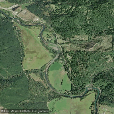
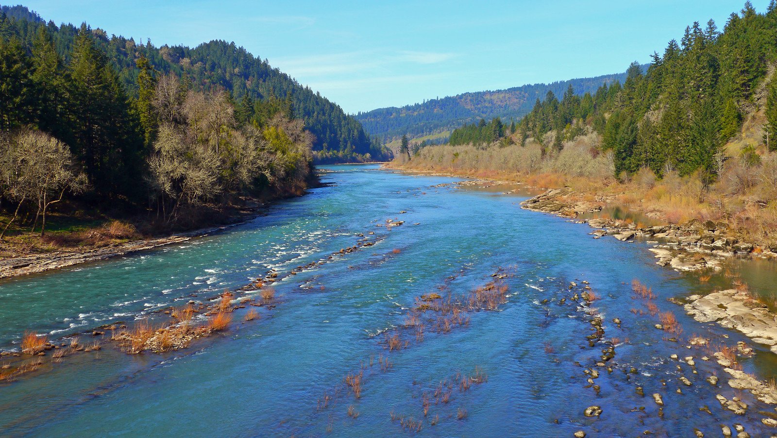
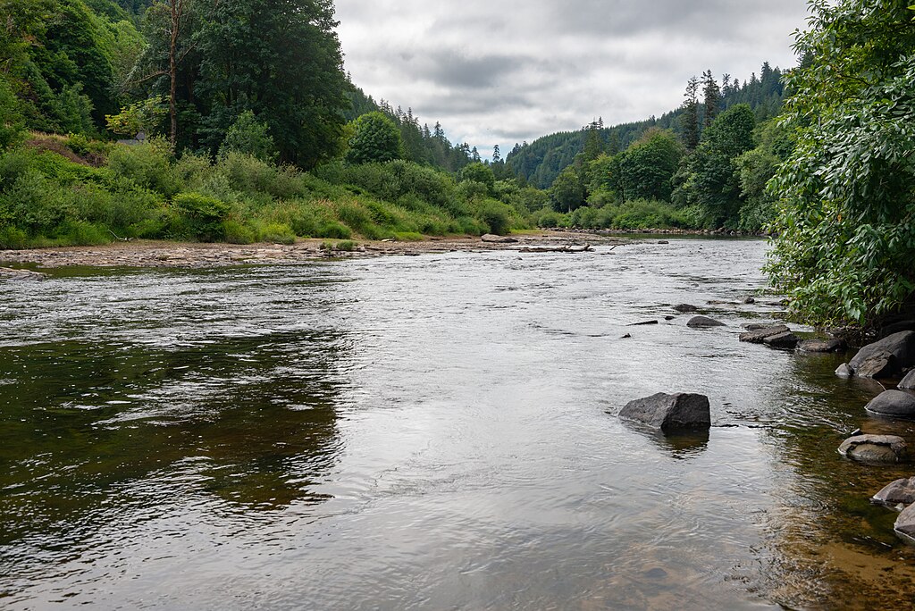
The South Fork Coquille River is a scenic and challenging waterway in southwestern Oregon. Originating in the Siskiyou National Forest, it flows northward for approximately 60 miles before joining the main stem of the Coquille River near Myrtle Point. The river drains a watershed of dense coastal forests and rugged canyons.
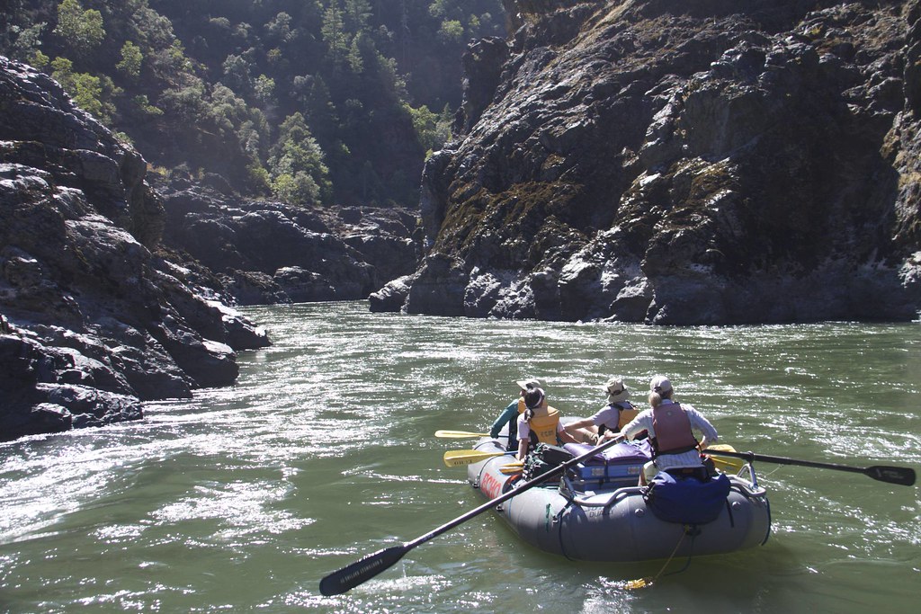
Paddling opportunities on the South Fork Coquille range from placid floats to expert-level whitewater. The upper reaches above Powers offer several Class II-IV sections popular with intermediate to advanced paddlers, including the 6.3-mile stretch from above Powers to Baker Creek. Downstream, the river intensifies with the Class IV-V Myrtle Grove to Milepost 3 section and the infamous Class V+ Coal Creek Canyon. For expert kayakers, The Gem section near Coquille Falls provides a concentrated 2-mile stretch of Class V rapids through old-growth forest. Above this, the rarely-run Cataract Canyon section features extreme Class V-VI whitewater with gradients up to 700 feet per mile. The river's difficulty varies widely, from Class II floats to Class VI rapids requiring expert skills. Paddlers should carefully match their abilities to individual sections.
The South Fork is primarily a spring and early summer run, with optimal flows typically from March through June. The river corridor hosts diverse flora including Douglas fir, Port Orford cedar, and myrtle groves. Wildlife such as black bears, elk, and river otters inhabit the surrounding forests. Steelhead and salmon runs occur in the lower river.
Key landmarks include the town of Powers, Coquille Falls, and the Coquille Myrtle Grove State Natural Site. Primary access points are found near Powers, with additional put-ins and take-outs along Forest Service roads.
Safety considerations include wood hazards, undercut rocks, and powerful hydraulics in the more difficult sections. Paddlers should scout carefully and be prepared for remote wilderness conditions in many areas. The South Fork offers excellent multi-day trip potential when combining different sections, allowing paddlers to experience its full range of difficulty and scenery.
Curated routes
Hand-picked by the PaddleWays team, with put-ins, take-outs, paddle times and the hazards along the way.
RouteClass I–VI
Hazards
No paddler has reported a hazard here yet, so these are the dams, falls and big rapids on our map. Hazards change with flows and storms, so check them before you launch.
Rapid · Class IV
Class IV This rapid is not visible from the road, and can send boaters scrambling for eddies on the left if they don't know it is there, as it can sneak up on you.
Rapid · Class IV
Class IV This is a clean ledge that is easiest to run on the left and indicates you are nearly to Upper Coquille Falls.
Rapid · Class IV
Class IV+ Neckin' is the first large rapid, and the highlight of the run for boaters not paddling over Upper Coquille Falls.
From the community
Nobody has shared a trip on South Fork Coquille River yet. Paddle it, then tell the next paddler how it went.
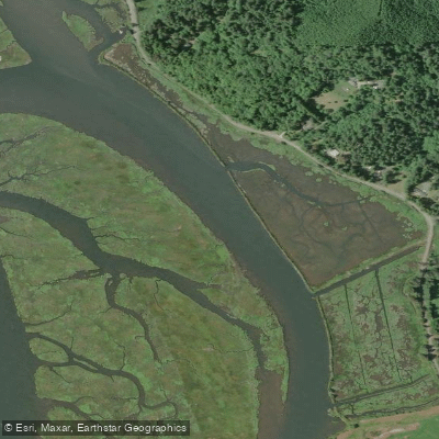
See exactly where the public can get on and off the river. Launch points and boat ramps are paired with PaddleWays' public land data so you know where you can legally land.
Public shoreline
34%of the river's shoreline is public
Most of the riverbank is private. Launch, land and camp only at public access points.
Flows, weather and a route-by-route verdict, so you know which stretch of the South Fork Coquille River is worth paddling today.
Live flows, marked hazards and fresh trip reports from paddlers who were just on the water, all in one place.





Every user gets free access to launch points, boat ramps, and public property parcels.
Loading popular cities...
PaddleWays gives you everything you need to plan smarter, paddle better, and own every trip from first launch to takeout.