Detroit Lake
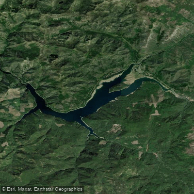
Detroit Lake
- Boat Ramps
- 6
- Access Points
- 6
- Campsites
- 8
Detroit Lake is a 9-mile long reservoir in Oregon's Cascade Mountains, offering diverse paddling opportunities. The lake features forested shorelines and views of snow-capped Mt. Jefferson in the distance. While motorboats are common, paddlers can explore quieter coves and inlets.
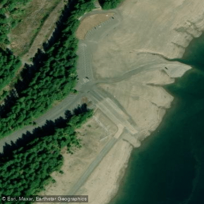
The primary access point for paddlers is Mongold Day-use Area, located 1.5 miles west of Detroit Lake State Park. It has the only public boat launch on the lake, along with parking for 120 vehicle/trailer combinations. The area also includes a swimming beach, picnic facilities, and restrooms.
Stand-up paddleboards (SUPs) are popular on Detroit Lake. They allow for versatile exploration of the shoreline and coves. Paddlers can visit scenic spots like Sauers Creek, a lush forested canyon, and Blowout Creek, which features a large suspension bridge. The lake's coves provide calmer waters for less experienced paddlers.
Water temperatures can be cold year-round due to snowmelt, so paddlers should dress appropriately and consider wearing a personal flotation device. The lake can experience motorboat wakes, which SUP users sometimes attempt to surf.
Camping is available at Detroit Lake State Recreation Area, with nearly 300 sites along the lakeshore. The campground offers amenities like boat moorages and a fishing dock. Day-use visitors can access facilities at Mongold, including the swimming area and picnic spots.
Detroit Lake was created in 1953 with the completion of Detroit Dam. The 400-foot deep reservoir now serves as a popular recreation destination, balancing its role in flood control and power generation with opportunities for paddling, fishing, and other water sports.
Water access, boat ramps & amenities
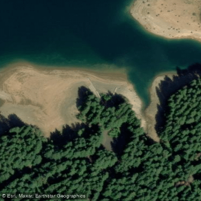
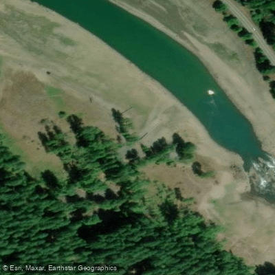
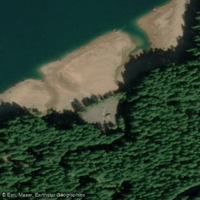
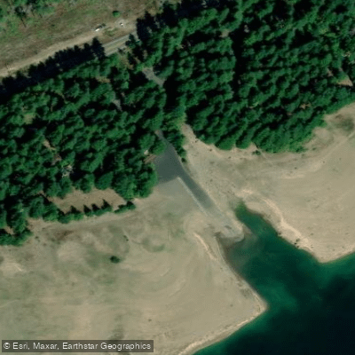
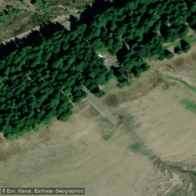
Learn how to get on Detroit Lake. Uncover great paddling access points, boat ramps, and all the facilities you need for an unforgettable day on the water. Some locations shown may border or include private property. Always check property boundaries and applicable regulations before visiting. PaddleWays's Public & Private Land layer can help you plan your access with confidence.
Paddle smarter with real-time insights
Whether you're en route and conditions shift or you're looking for the best spot based on current flows, we enable you to make informed decisions on the fly.








Find Places to Paddle

Over 400,000 Places to Paddle
Every user gets free access to launch points, boat ramps, and public property parcels.


Water and weather conditions (10 day forecast)
See the best times to paddle Detroit Lake and check the forecast before you go.
DETROIT LAKE AT LOG BOOM BEHIND DETROIT DAM, OR
All Flow Stations
Paddling near Detroit Lake
Willamette River
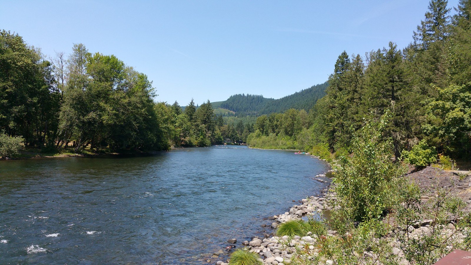
North Santiam River
Columbia River
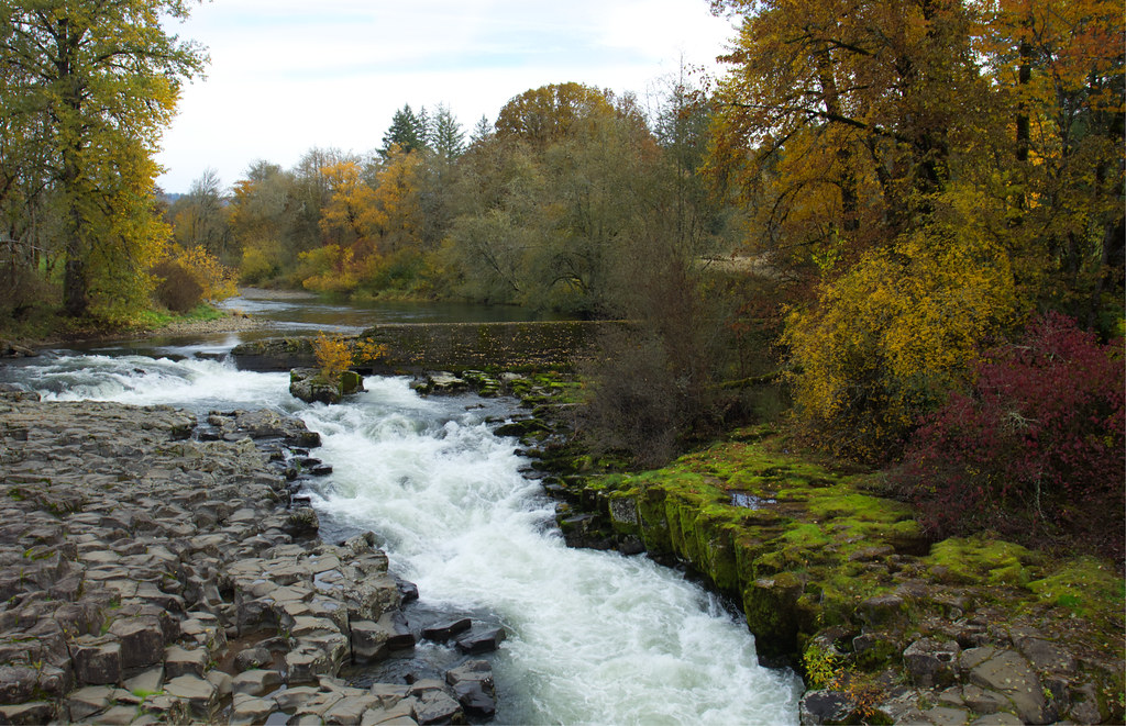
Thomas Creek
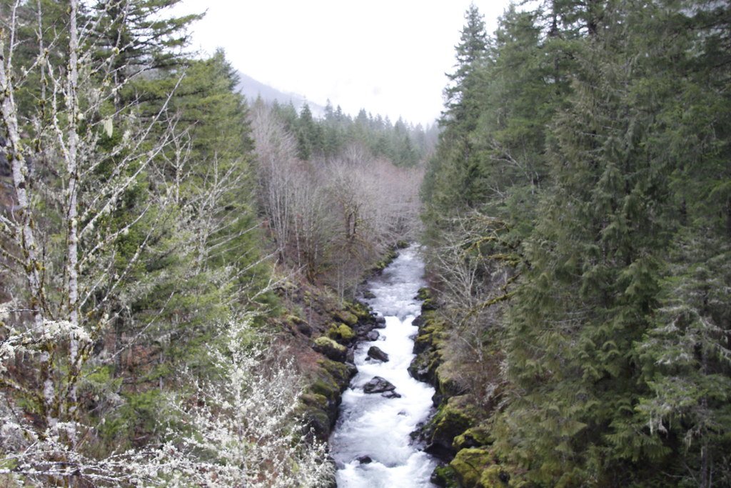
Molalla River
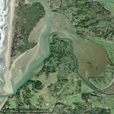
Nestucca Bay
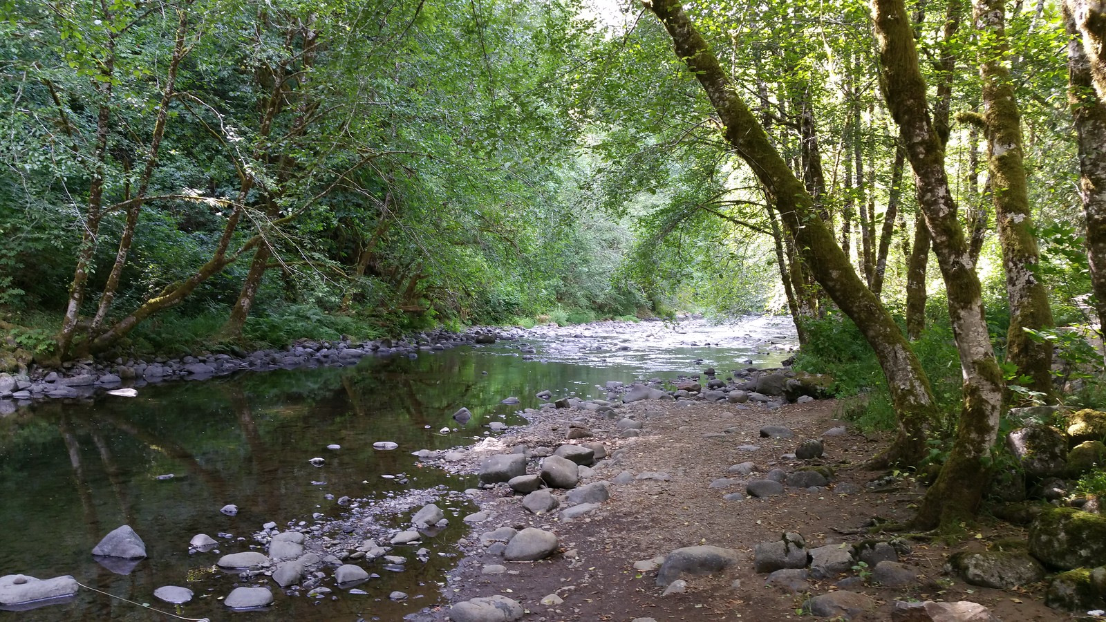
Nestucca River
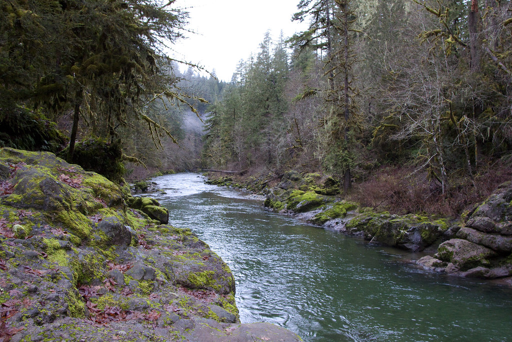
Little North Santiam River
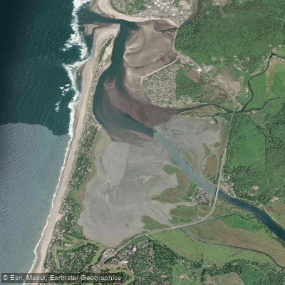
Siletz Bay
Siletz River
Explore Oregon waters
Top paddling waters
Popular Cities
Loading popular cities...
Explore near Detroit Lake
Access points
- Mongold State Park Boat Ramp
- Detroit Lake Boat Ramp
- Hoover Campground Boat Ramp
- Cove Creek Campground Boat Ramp
- Detroit Lake State Park G Boat Ramp
- Detroit Lake State Park D Boat Ramp
- Breitenbush River Bridge
- Tumble Creek Bridge
- Kinney Cr Road Bridge
- N Santiam R Bridge
- Boulder Creek Bridge
- French Cr Bridge
- All 29 spots
Nearby waters
More in Oregon

Smarter Paddling Starts in the App.
Paddleways gives you everything you need to plan smarter, paddle better, and own every trip from first launch to takeout.