Crane Prairie Reservoir
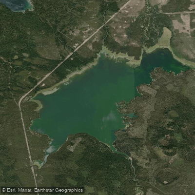
Crane Prairie Reservoir
- Boat Ramps
- 4
- Access Points
- 6
- Campsites
- 15
Crane Prairie Reservoir, located approximately 30 miles southwest of Bend in Oregon's Deschutes National Forest, offers paddlers a scenic mountain setting with 4,900 surface acres of water and 24 miles of shoreline to explore. The reservoir features several boat launches, including two float tube launch points, providing easy access for kayaks and canoes.
Paddlers should be aware that the reservoir is a popular fishing destination, particularly from June through August when angling activity peaks. The lake is home to rainbow trout (locally known as "crane bows"), kokanee salmon, brook trout, and largemouth bass. Wildlife enthusiasts can observe osprey, Canadian geese, sandhill cranes, and bald eagles from the water.
The best time for paddling is typically late spring through early fall when temperatures average around 70°F. Water levels and conditions can vary seasonally, so checking current reports before planning a trip is advisable. The Cascade Lakes Highway (Forest Service Road 46) provides a scenic route to the reservoir.
Crane Prairie Reservoir is part of a Wildlife Management area, which contributes to its rich biodiversity. Paddlers should practice Leave No Trace principles and be respectful of wildlife habitats. Several campgrounds are located near the lake, offering opportunities for multi-day paddling adventures.
The reservoir's history dates back to 1922 when it was developed as part of the Deschutes Project. Today, it serves both recreational purposes and as an important habitat for migrating waterfowl. Paddlers should be prepared for potential wind conditions, as the open water can be subject to sudden changes in weather.
For more information or to check on current conditions, contact the Deschutes National Forest office in Bend.
Water access, boat ramps & amenities
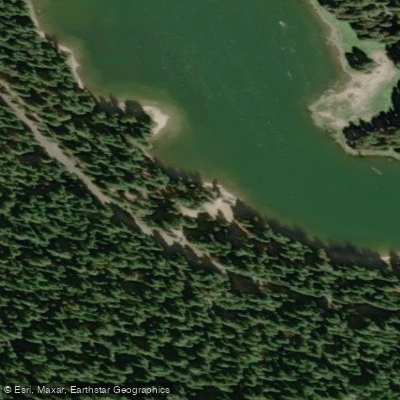
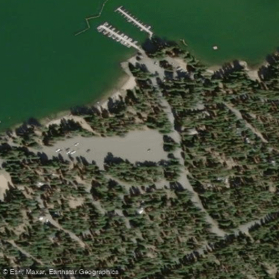
Learn how to get on Crane Prairie Reservoir. Uncover great paddling access points, boat ramps, and all the facilities you need for an unforgettable day on the water. Some locations shown may border or include private property. Always check property boundaries and applicable regulations before visiting. PaddleWays's Public & Private Land layer can help you plan your access with confidence.
Paddle smarter with real-time insights
Whether you're en route and conditions shift or you're looking for the best spot based on current flows, we enable you to make informed decisions on the fly.








Find Places to Paddle

Over 400,000 Places to Paddle
Every user gets free access to launch points, boat ramps, and public property parcels.


Water and weather conditions (10 day forecast)
See the best times to paddle Crane Prairie Reservoir and check the forecast before you go.
DESCHUTES R BL SNOW CR NR LA PINE, OR
All Flow Stations
Paddling near Crane Prairie Reservoir
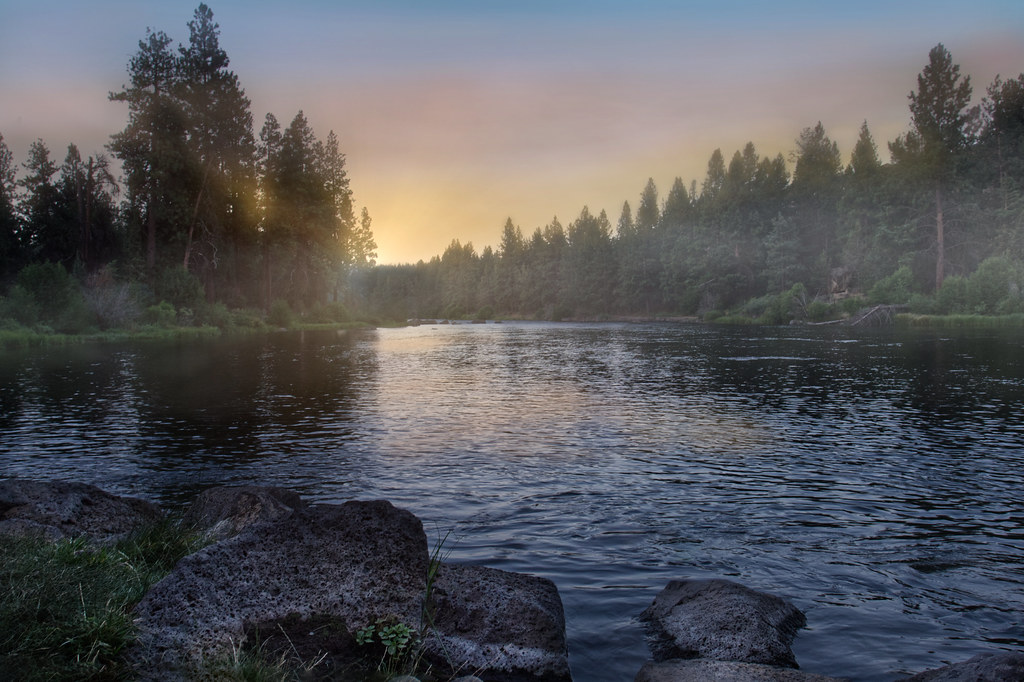
Deschutes River
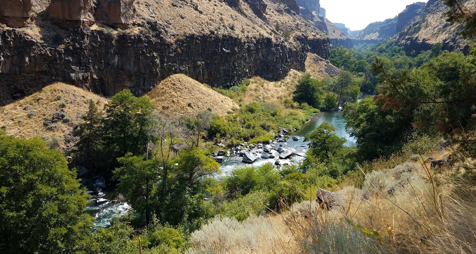
Crooked River
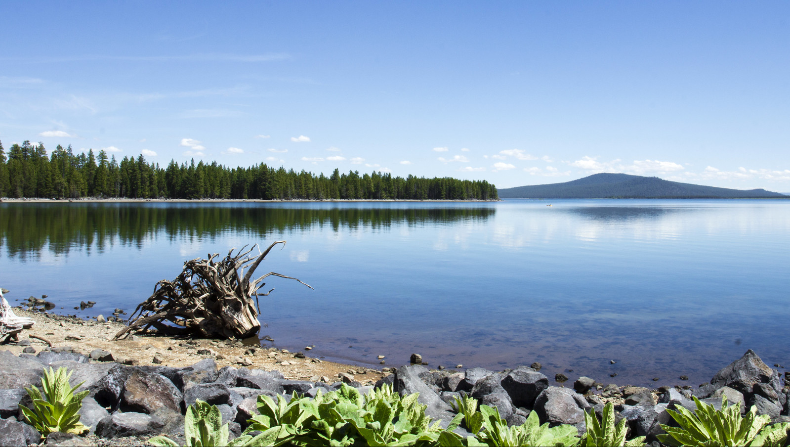
Wickiup Reservoir
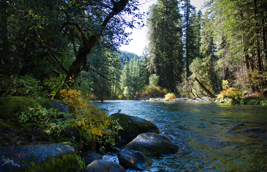
McKenzie River
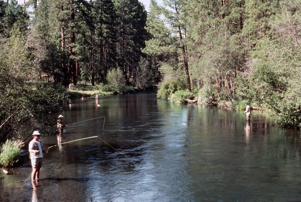
Metolius River
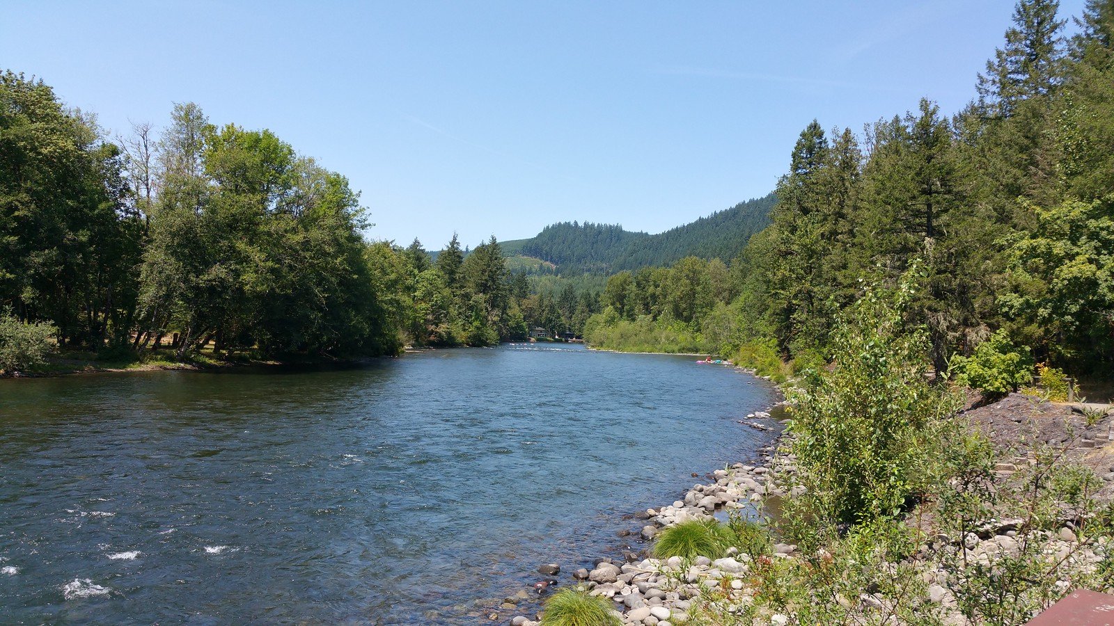
North Santiam River
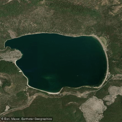
East Lake
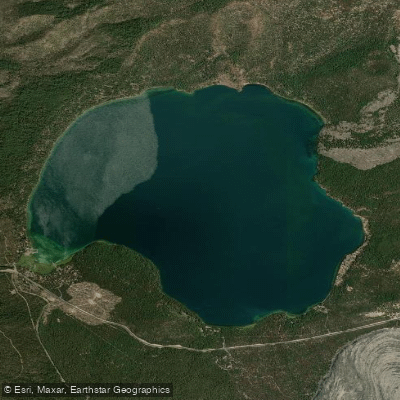
Paulina Lake
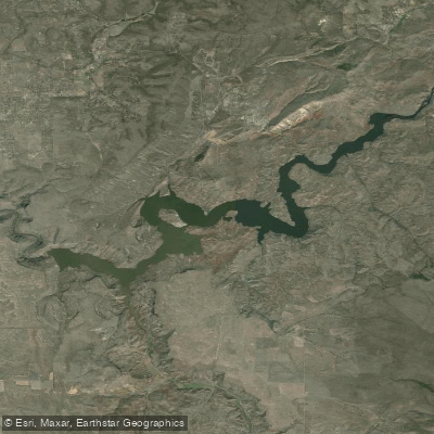
Prineville Reservoir
Explore Oregon waters
Top paddling waters
Popular Cities
Loading popular cities...
Explore near Crane Prairie Reservoir
Access points
Nearby waters
More in Oregon

Smarter Paddling Starts in the App.
Paddleways gives you everything you need to plan smarter, paddle better, and own every trip from first launch to takeout.