Wickiup Reservoir
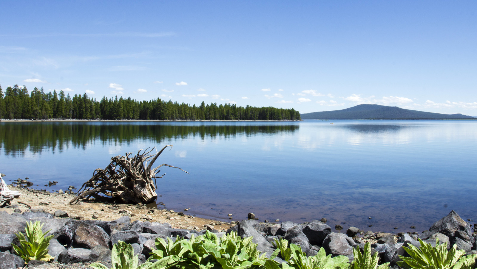
Wickiup Reservoir
- Boat Ramps
- 7
- Access Points
- 11
- Campsites
- 15
Wickiup Reservoir, located in central Oregon's Deschutes National Forest, is the second largest reservoir in the state with 10,300 surface acres and 50 miles of shoreline. The reservoir offers diverse paddling opportunities amid a scenic pine forest setting. Several access points are available, including boat ramps at Gull Point Campground, Reservoir Campground, and Sheep Bridge Campground.
The reservoir is known for its excellent fishing, with record-size brown trout up to 25 pounds. Other species include rainbow trout, whitefish, brook trout, kokanee, and largemouth bass. Paddlers should be aware of motorized boat traffic, especially during peak summer months when waterskiing is popular.
Wildlife viewing is a highlight, with opportunities to spot nesting and migrating birds, deer, raccoons, and occasionally black bears. The surrounding landscape features beautiful Ponderosa and lodgepole pines.
Water temperatures vary seasonally, with relatively shallow areas warming up in late summer. The water quality is generally good, transparent. Paddlers can enjoy both deep and shallow areas, with a maximum depth of 70 feet.
Camping is available at several campgrounds around the reservoir, including Sheep Bridge, Gull Point, and Reservoir Campground. These sites offer amenities such as picnic tables, fire rings, and vault toilets. Gull Point Campground is particularly popular for swimming, tubing, and canoeing.
The reservoir is open year-round, but winter access may be limited due to snow. Fishing regulations restrict angler access from April 22 to October 31, with additional closures on the Deschutes Arm from September 1 to April 21.
Paddlers should note that Wickiup Reservoir was originally built for irrigation purposes and water levels may fluctuate. The area has historical significance as a traditional Native American camping site, with the name "Wickiup" referring to dome-shaped shelters made from natural materials.
Water access, boat ramps & amenities
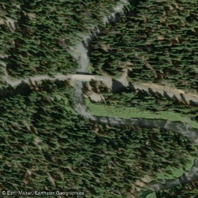
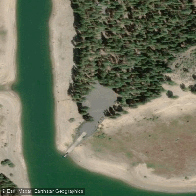
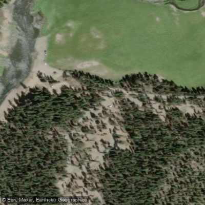
Learn how to get on Wickiup Reservoir. Uncover great paddling access points, boat ramps, and all the facilities you need for an unforgettable day on the water. Some locations shown may border or include private property. Always check property boundaries and applicable regulations before visiting. PaddleWays's Public & Private Land layer can help you plan your access with confidence.
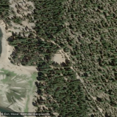
Paddle smarter with real-time insights
Whether you're en route and conditions shift or you're looking for the best spot based on current flows, we enable you to make informed decisions on the fly.








Find Places to Paddle

Over 400,000 Places to Paddle
Every user gets free access to launch points, boat ramps, and public property parcels.


Water and weather conditions (10 day forecast)
See the best times to paddle Wickiup Reservoir and check the forecast before you go.
DESCHUTES R BL WICKIUP RES NR LA PINE, OR
All Flow Stations
Paddling near Wickiup Reservoir
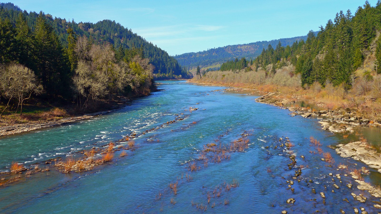
North Umpqua River
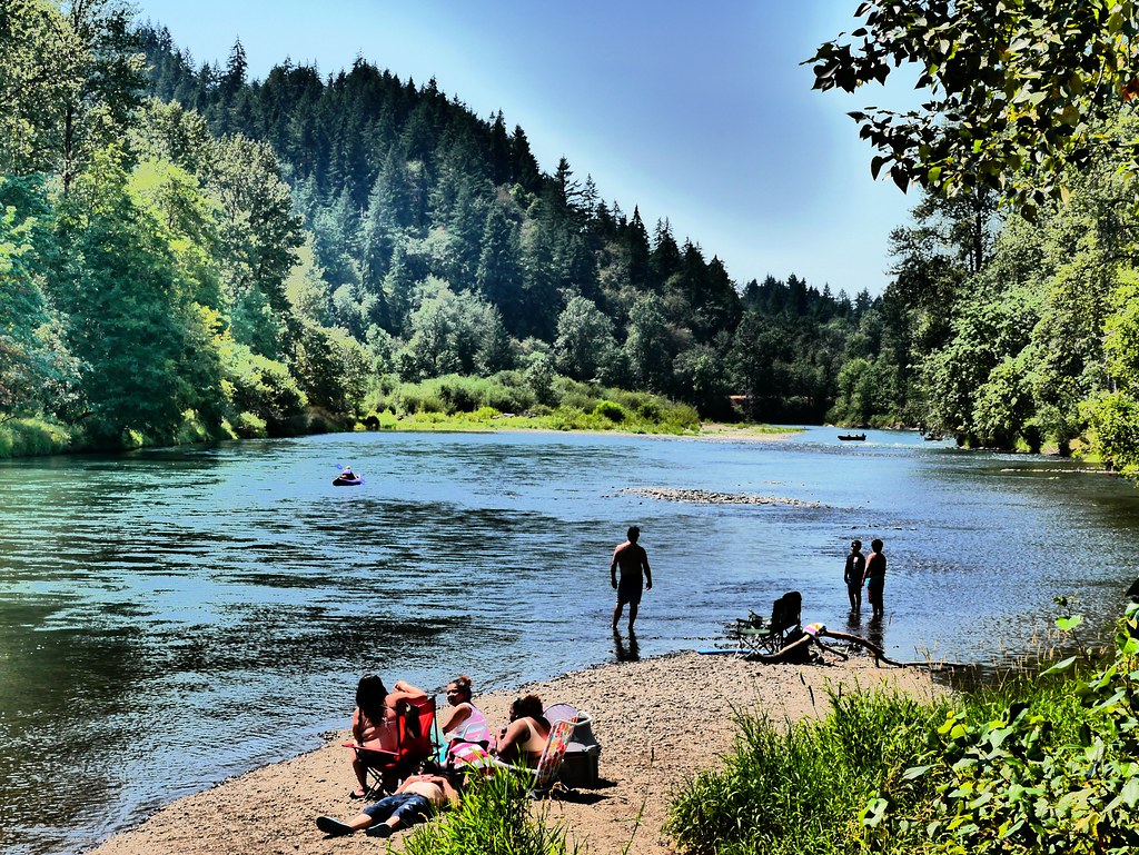
Middle Fork Willamette River
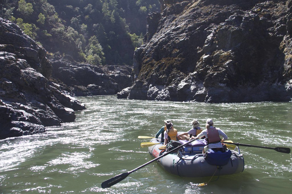
Rogue River
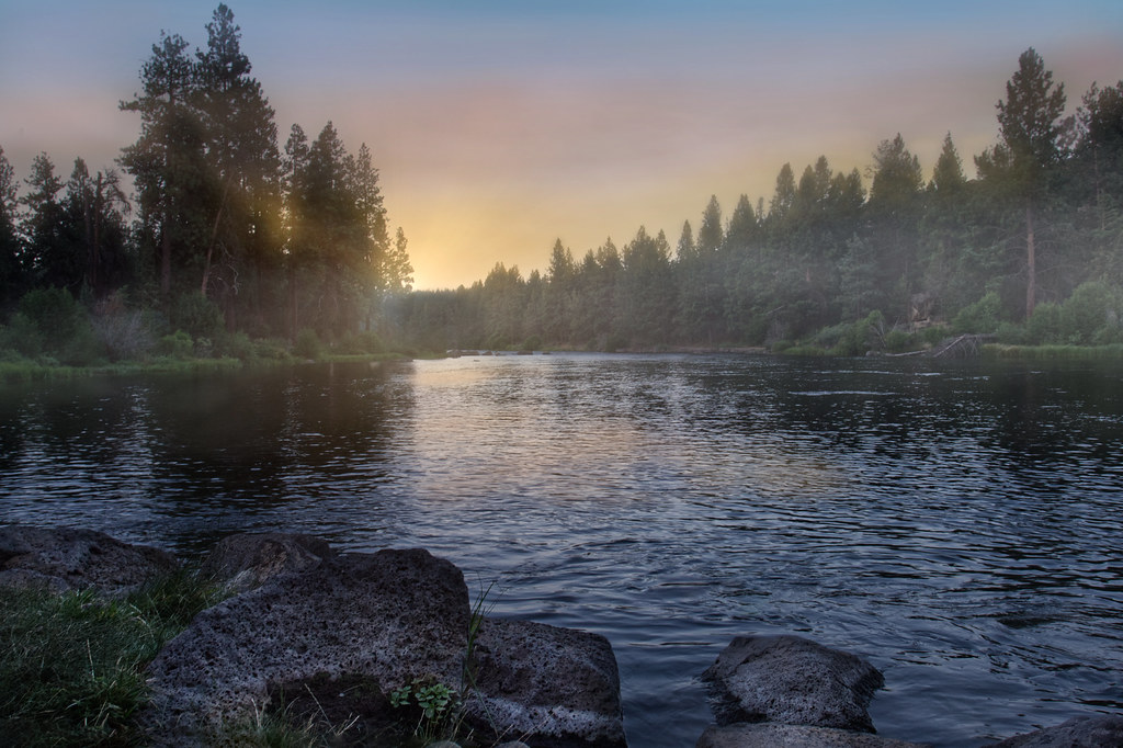
Deschutes River
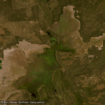
Klamath Marsh
Williamson River
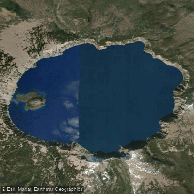
Crater Lake
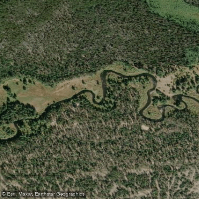
Crescent Creek
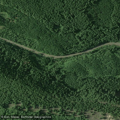
Salt Creek
Explore Oregon waters
Top paddling waters
Popular Cities
Loading popular cities...
Explore near Wickiup Reservoir
Access points
- Wickiup Butte Boat Ramp
- Sheep Bridge Boat Ramp
- West South Twin Lake Campground Boat Ramp
- Gull Point Boat Ramp
- North Wickiup Boat Ramp
- Browns Crossing Boat Ramp
- Reservoir Campground Boat Ramp
- Browns Crossing Access
- Gull Point Access
- Sheep Bridge Campground Access
- National Forest Road Access
- Deschutes River Bridge
- All 29 spots
Nearby waters
More in Oregon

Smarter Paddling Starts in the App.
Paddleways gives you everything you need to plan smarter, paddle better, and own every trip from first launch to takeout.